
You have no items in your shopping cart.
- Home
- Maps
-
State Maps
- Alabama
- Alaska
- Arizona
- Arkansas
- California
- Colorado
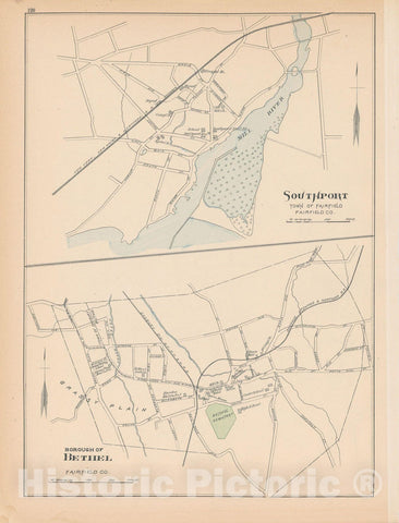
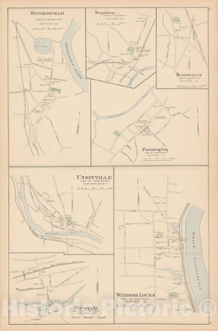
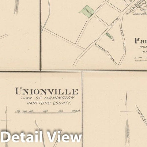
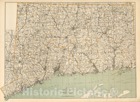
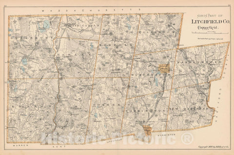
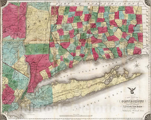
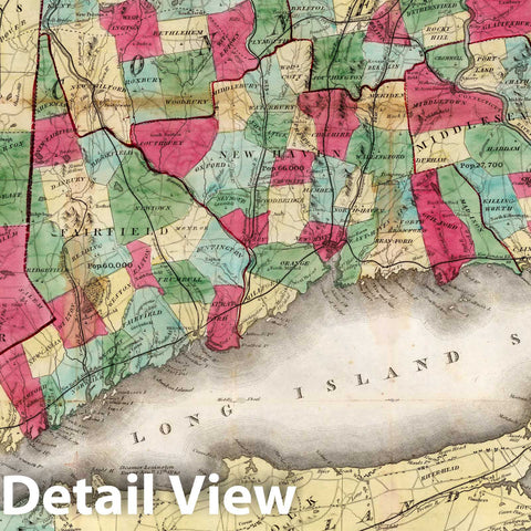
- Connecticut
- Delaware
- Florida
- Georgia
- Hawaii
- Idaho
- Illinois
- Indiana
- Iowa
- Kansas
- Kentucky
- Louisiana
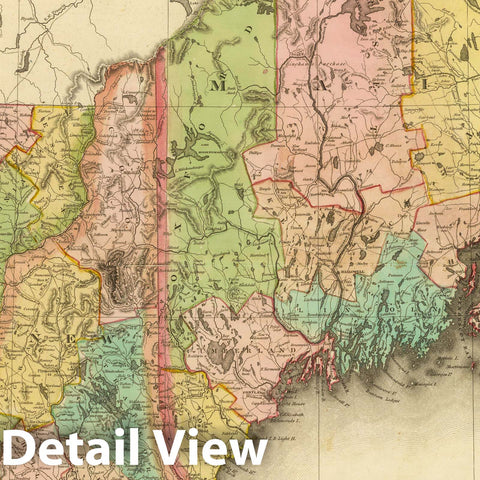
- Maine
- Maryland
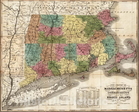
- Massachusetts
- Michigan
- Minnesota
- Mississippi
- Missouri
- Nebraska
- Nevada
- New Hampshire
- New Jersey
- New Mexico
- New York
- North Carolina
- North Dakota
- Ohio
- Oklahoma
- Oregon
- Pennsylvania
- Rhode Island
- South Carolina
- South Dakota
- Tennessee
- Texas
- Utah
- Vermont
- Virginia
- Washington
- West Virginia
- Wisconsin
- Wyoming
- Art Prints
- Photographs
- Contact Us


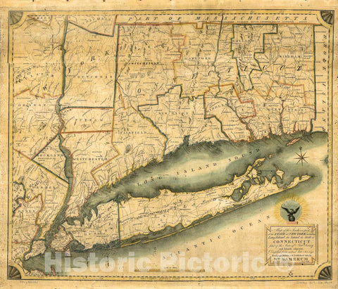
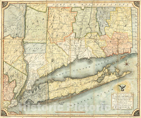
![Historic Map - 1821 A Map Of The States Of Connecticut And Rho[De Islan] D With Pa[Rt Of] New-York, Ma[Ssachusetts And New Jers] Ey - Vintage Wall Art](http://www.historicpictoric.com/cdn/shop/products/5131435_1wmark_large.jpg?v=1683149638)

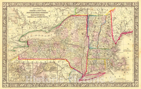
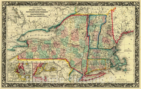
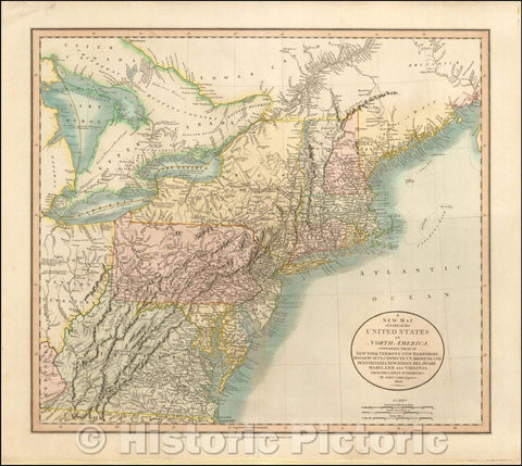


![Historical Map, 1806 A New map of pof The United States of North America, containing Those of New York, Vermont, New Hampshire, Massachusets [sic], Connecticut, Vintage Wall Art](http://www.historicpictoric.com/cdn/shop/products/5133533_1wmark_large.jpg?v=1683492637)


