You have no items in your shopping cart.
- Home
- Maps
-
State Maps
- Alabama
- Alaska
- Arizona
- Arkansas
- California
- Colorado
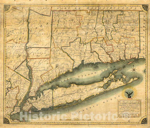
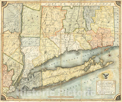
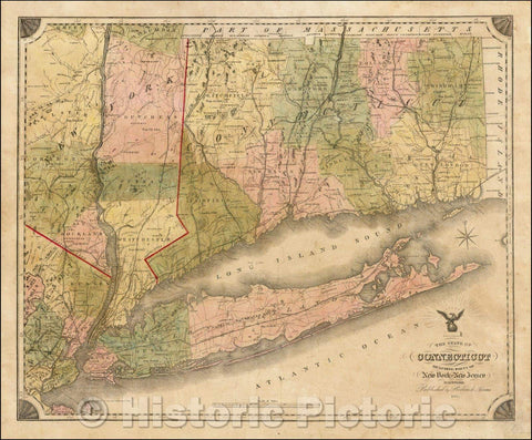
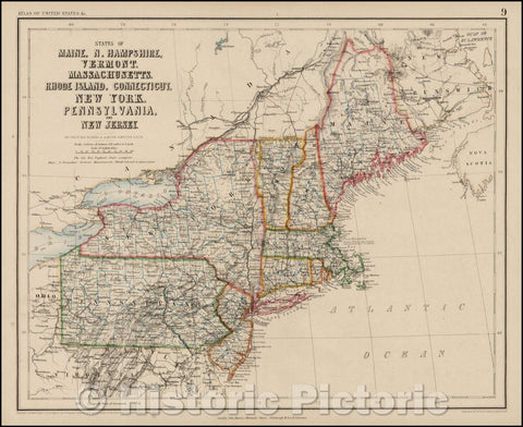
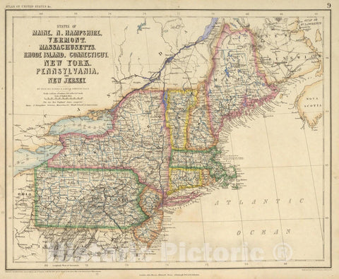
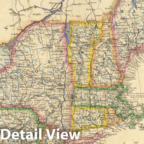
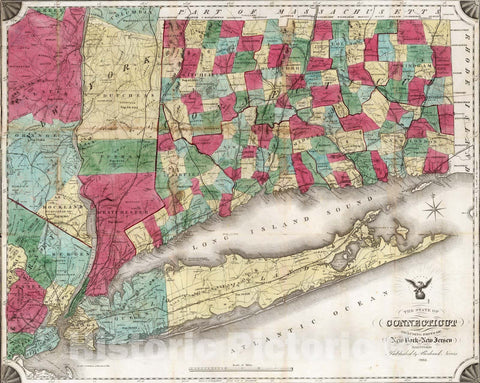
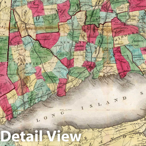
- Connecticut
- Delaware
- Florida
- Georgia
- Hawaii
- Idaho
- Illinois
- Indiana
- Iowa
- Kansas
- Kentucky
- Louisiana
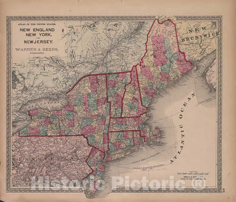
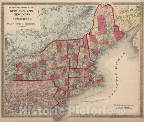
- Maine
- Maryland
- Massachusetts
- Michigan
- Minnesota
- Mississippi
- Missouri
- Nebraska
- Nevada
- New Hampshire
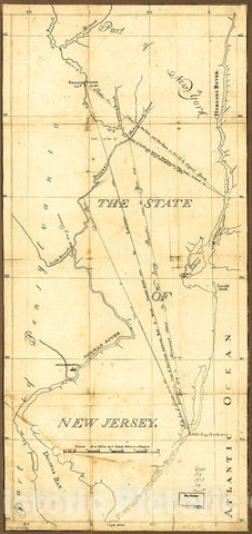
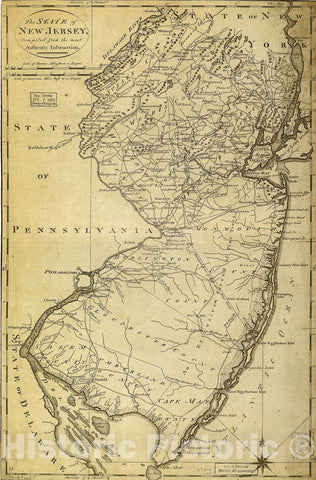
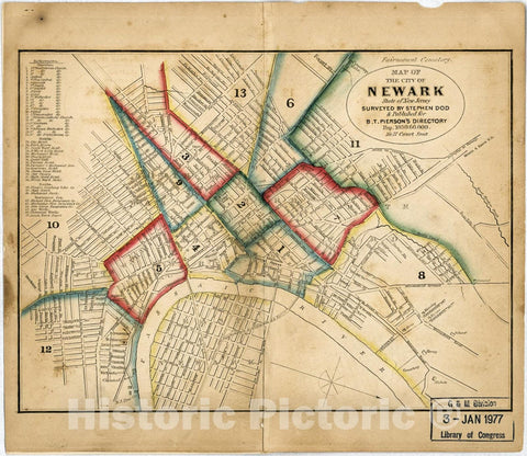
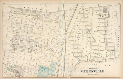
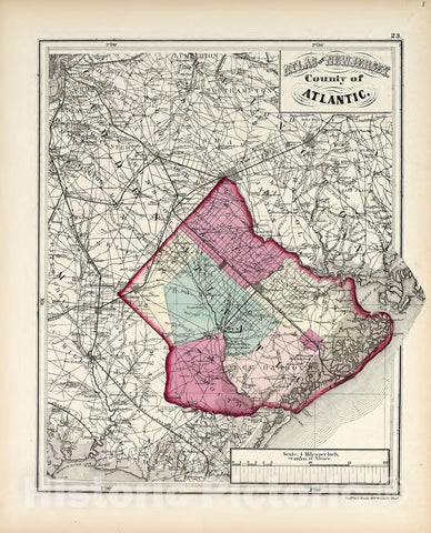
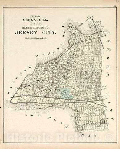
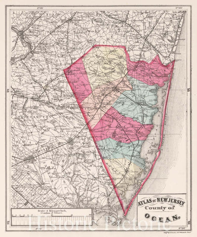
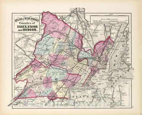
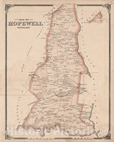
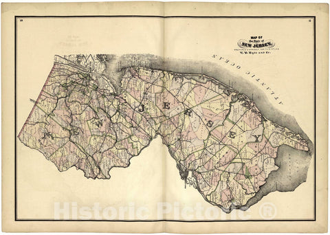
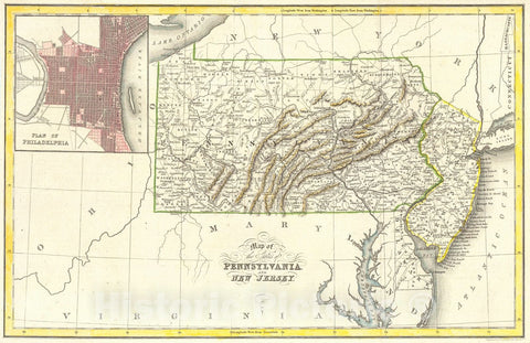
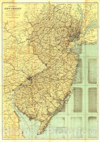
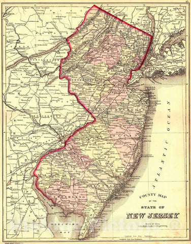
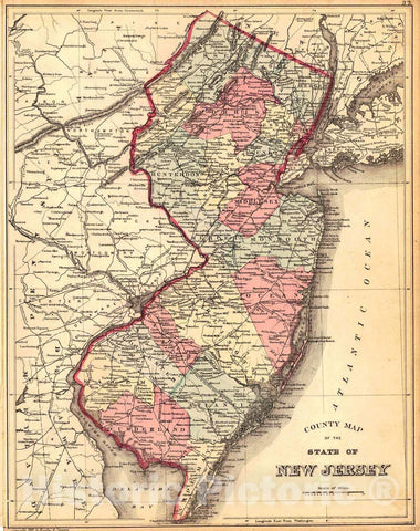
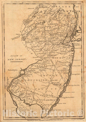
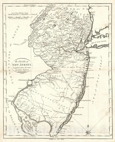
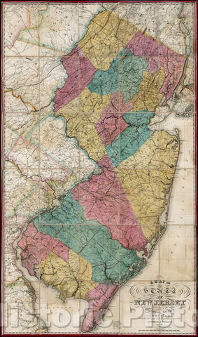
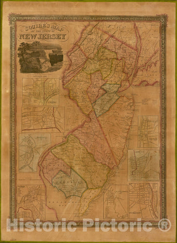
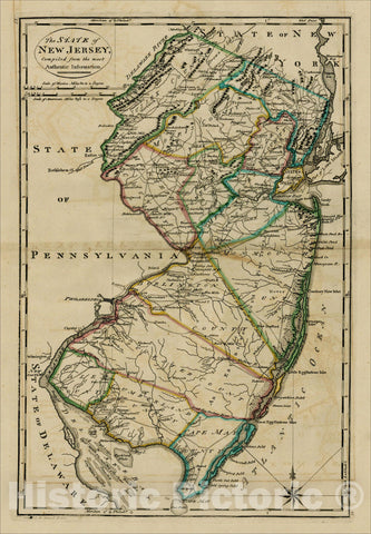
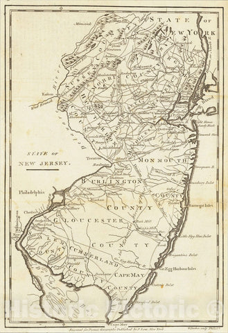
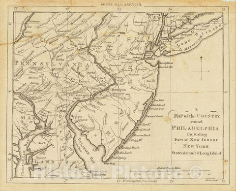
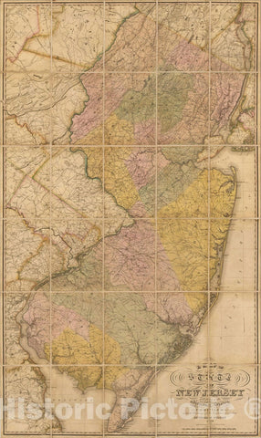
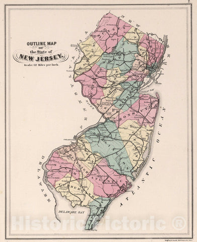
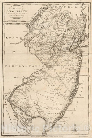
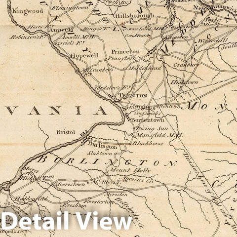
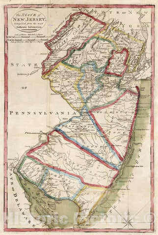
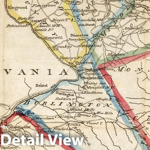
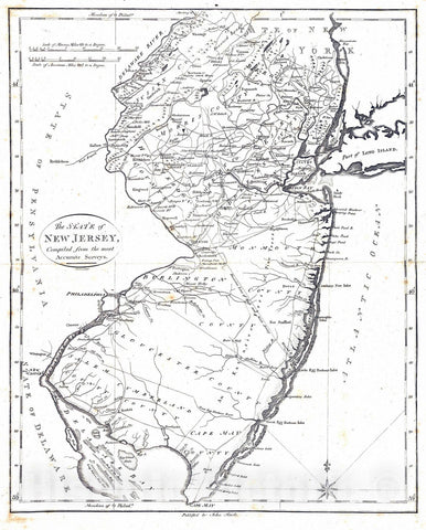
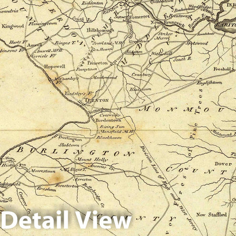
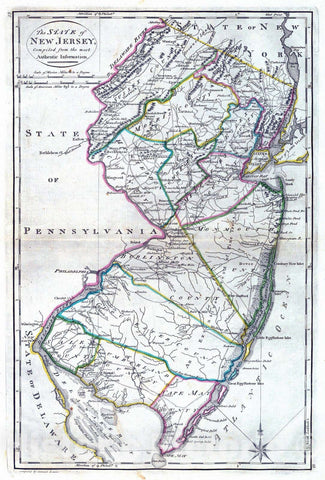
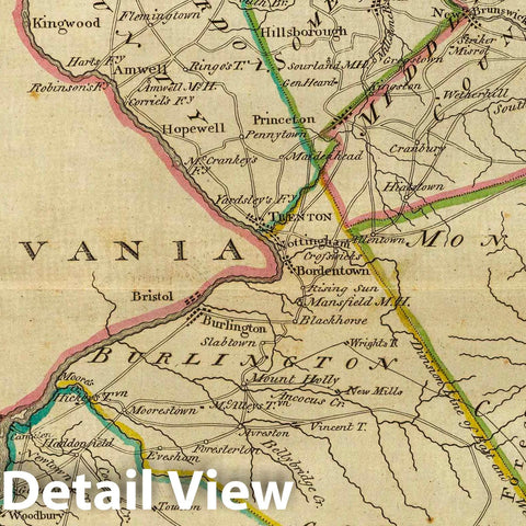
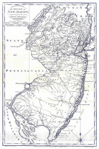
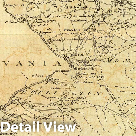
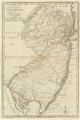
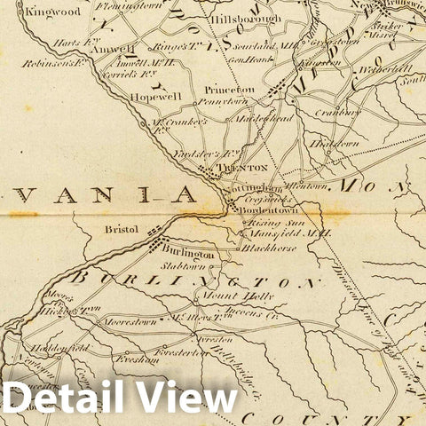
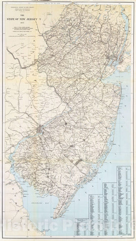
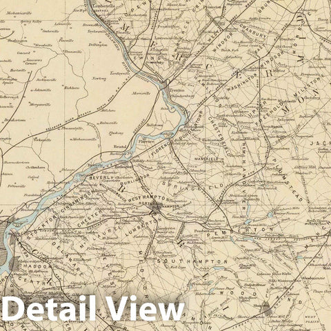
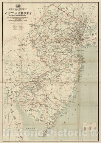
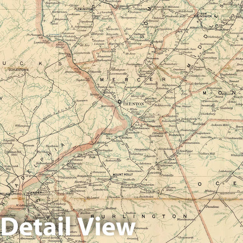
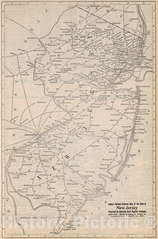
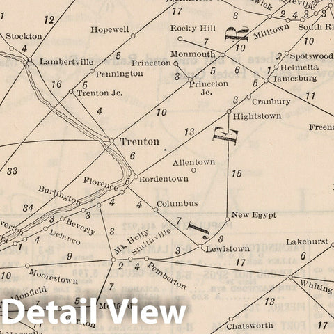
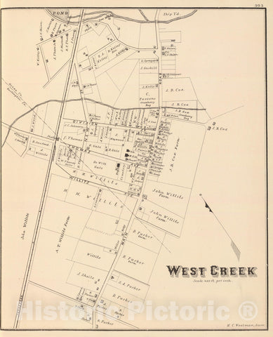
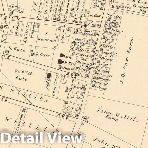
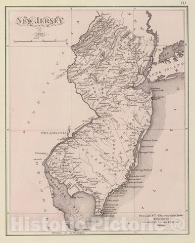
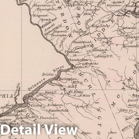
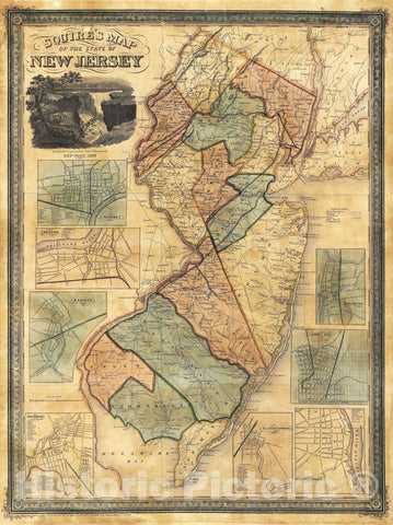
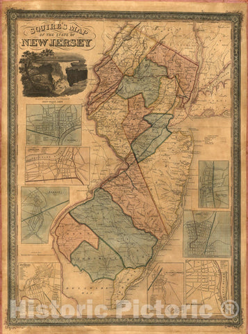
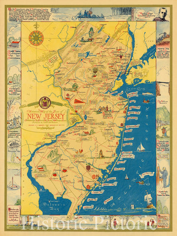
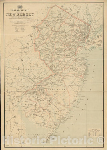
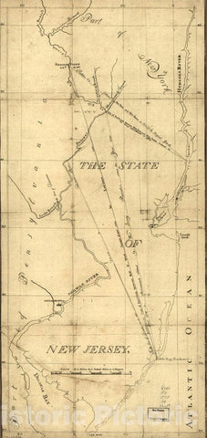
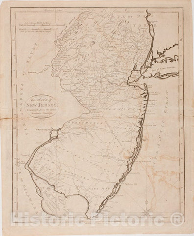
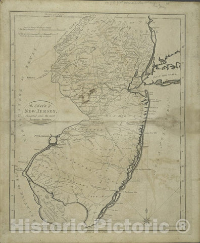
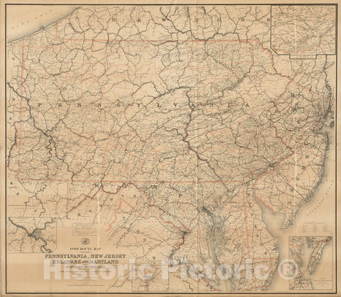
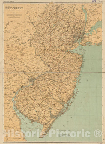
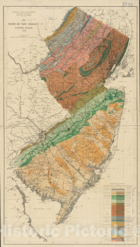
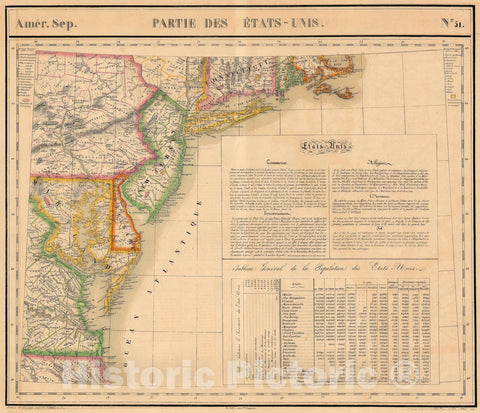
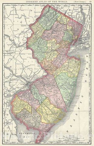
- New Jersey
- New Mexico
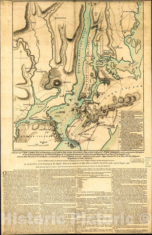
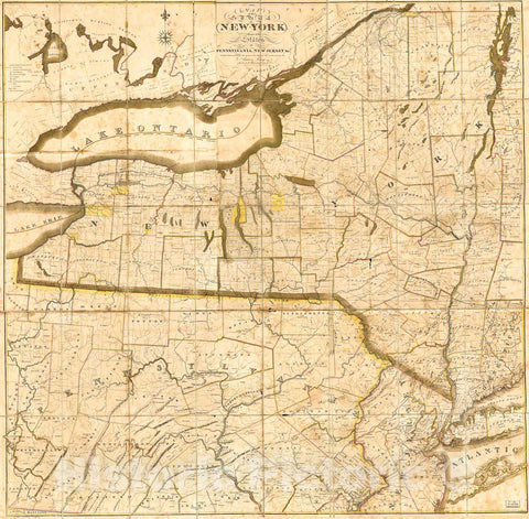
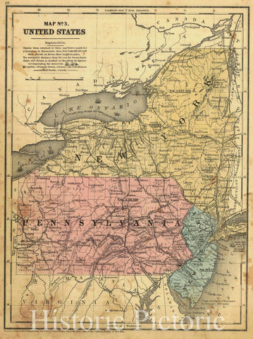
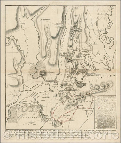
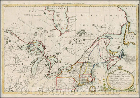
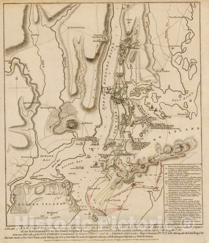
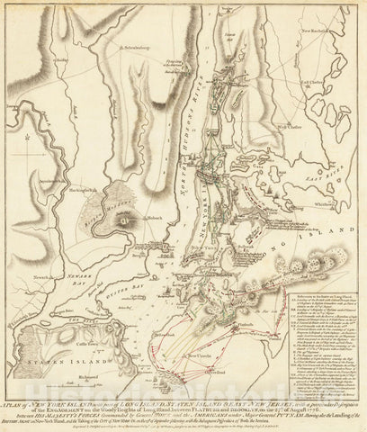
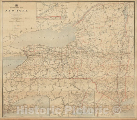
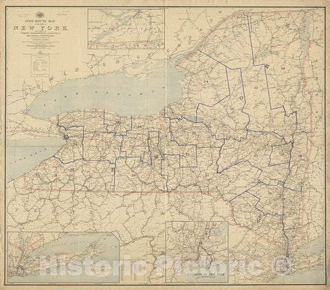
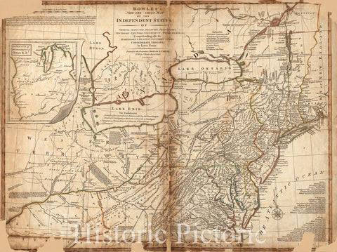
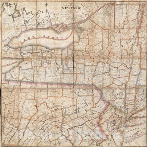
- New York
- North Carolina
- North Dakota
- Ohio
- Oklahoma
- Oregon
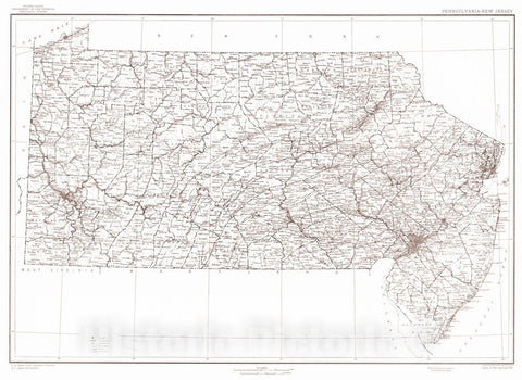
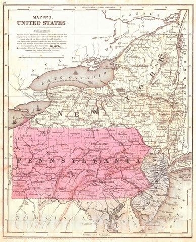
- Pennsylvania
- Rhode Island
- South Carolina
- South Dakota
- Tennessee
- Texas
- Utah
- Vermont
- Virginia
- Washington
- West Virginia
- Wisconsin
- Wyoming
- Art Prints
- Photographs
- Contact Us