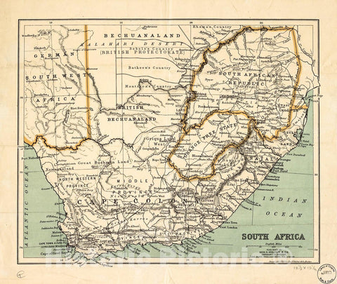
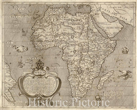
This is a fascinating example of Conrad Malte-Brun's 1843 map of Africa. The map covers the entire continent from the Mediterranean Sea to Cape Colony and from the Atlantic Ocean to Madagascar and the Seychelles Islands in the Indian Ocean. An interesting map issued just as most of the earth's non-Polar shores were finally explored. Inland though, much remained unknown. The present map exhibits various speculations regarding the unexplored interior of Africa. The course of the White Nile shown here is speculative at best, neither Mt. Kenya nor Mt. Kilimanjaro are present, the apocryphal Mountains of the Moon stretch across the continent, and what may be some sort of Proto-Lake Victoria is identified here as Lac Ouiffua.
At the time this map was made, the slave trade, thriving since the 5th century was rapidly diminishing due to decreased demand for slaves in the New World, the British outlawing of slavery in 1808, and subsequent diplomatic efforts including treaties with over 50 African rulers outlawing the practice. Many African economies adapted by shifting to the export of mineral and agricultural resources, which led to the european scramble for territory, occupying most of the continent by the end of the 19th century. europe's colonial interests in Africa haphazardly carved up the continent into unnatural territories, often forcing historic enemies into close proin ximity and leading to social problems that remain to this day. Various important rivers, islands, lakes, mountains, cities and other topographical details are noted with relief shown by hachures. The boundaries of countries and territories are outlined in color. This map was issued as plate nos. 69 and 70 in Conrad Malte-Brun's 1843 Precis de la Geographie Universelle.


