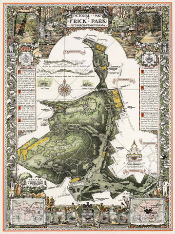
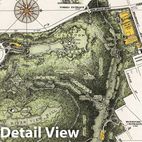
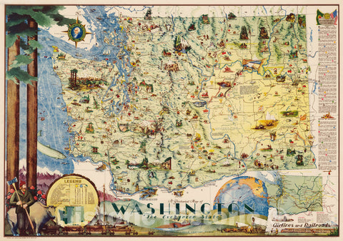
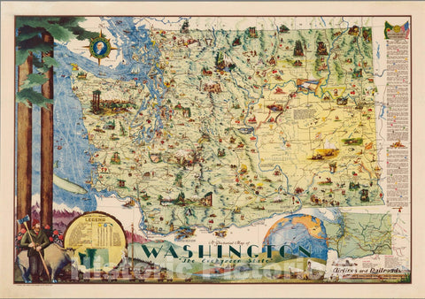
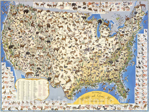
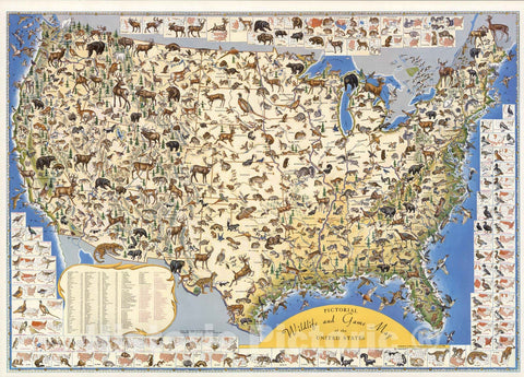
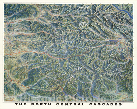
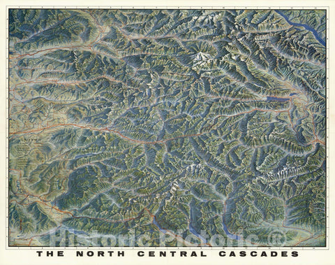
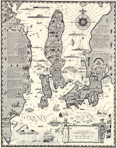
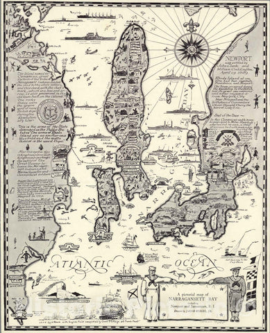
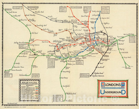
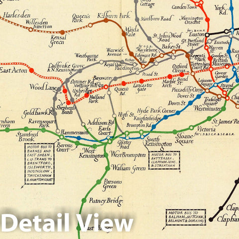
A pictorial map : South Africa. Designed and drawn in Pretoria, South Africa by Bernard Sargent. Printed by the South African Tourist Corporation. Printed in Holland by Rotogravure, Leiden. (Cover title) A Collection of Tourist Maps. South Africa. Cabo de Bona Speranca. (on verso maps) Destination to adventure. Communications with South Africa. Round tour of South Africa. Air and sea communications. Road communications, The Cape peninsula. Natal holiday Coastline. Kruger National Park. | A pictorial map : South Africa. Designed and drawn in Pretoria, South Africa by Bernard Sargent. Printed by the South African Tourist Corporation. Printed in Holland by Rotogravure, Leiden. (Cover title) A Collection of Tourist Maps. South Africa. Cabo de Bona Speranca. (on verso maps) Destination to adventure. Communications with South Africa. Round tour of South Africa. Air and sea communications. Road communications, The Cape peninsula. Natal holiday Coastline. Kruger National Park. | Pictorial map, on sheet 64.5x75, with decorative pictorial border of animals, birds and flowers and notations. "Showing the divers places and extraordinary manner of strange things to be seen by those who voyage to this land ..." Map shows international and provincial boundaries, roads, major rivers, parks, landmarks, wildlife, places of interest, etc. The coat of arms of the Union of South Africa is positioned in the upper center. Includes vignettes on historical events, text, legend and decorative compass rose. Relief shown pictorially. Folded into self wrapped pictorial cover. On verso: 8 maps showing lines of communications, tourist information, location map and text: "This collection of tourist map swill help you to plan your vacation in this fascinating land ..." ". Date estimated.
Some of these images may show signs of wear and tear - we believe that in many cases this contributes to the aesthetics of the item.


