You have no items in your shopping cart.
- Home
- Maps
-
State Maps
- Alabama
- Alaska
- Arizona
- Arkansas
- California
- Colorado
- Connecticut
- Delaware
- Florida
- Georgia
- Hawaii
- Idaho
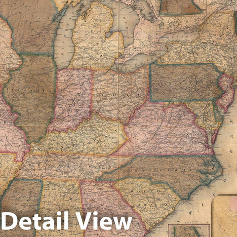
- Illinois
- Indiana
- Iowa
- Kansas
- Kentucky
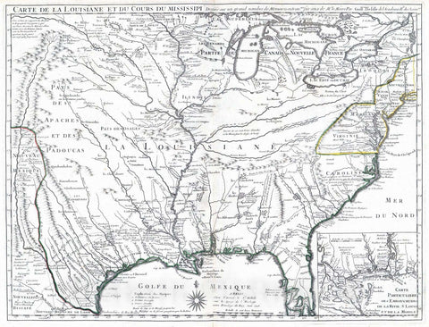
- Louisiana
- Maine
- Maryland
- Massachusetts
- Michigan
- Minnesota
- Mississippi
- Missouri
- Nebraska
- Nevada
- New Hampshire
- New Jersey
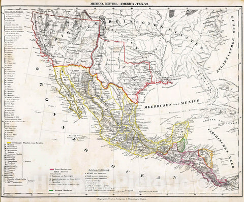
- New Mexico
- New York
- North Carolina
- North Dakota
- Ohio
- Oklahoma
- Oregon
- Pennsylvania
- Rhode Island
- South Carolina
- South Dakota
- Tennessee
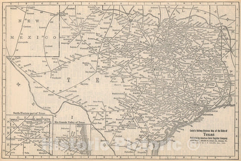
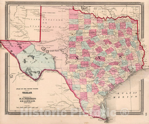
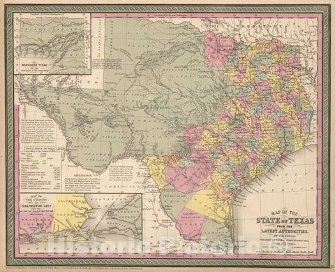
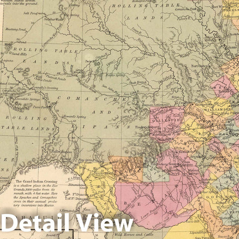
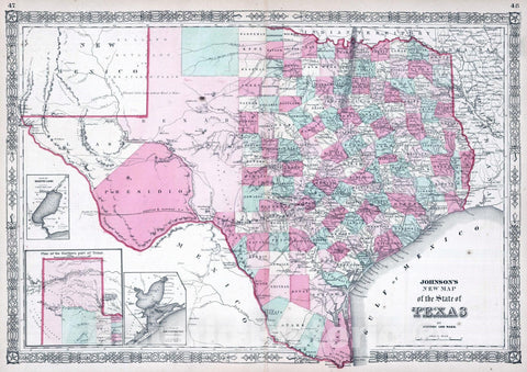
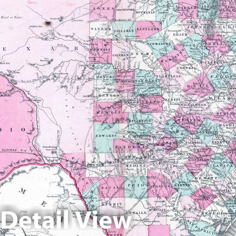
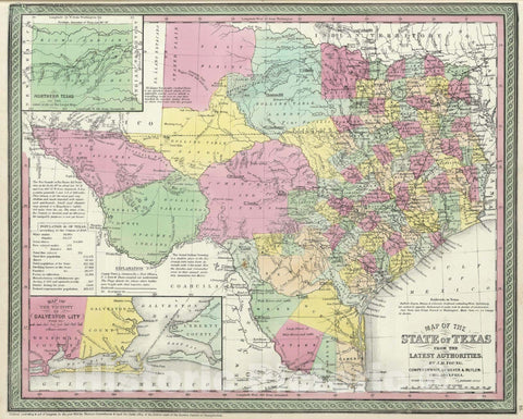
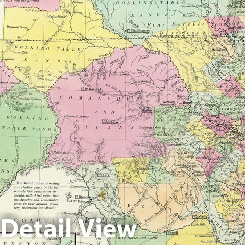
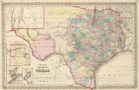
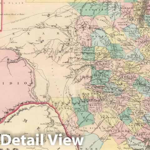
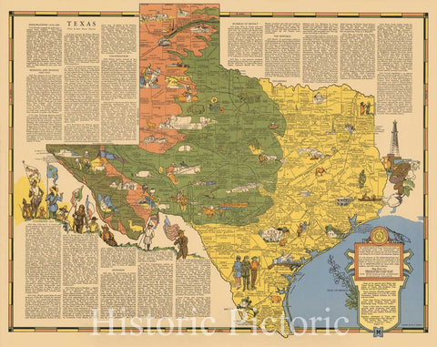
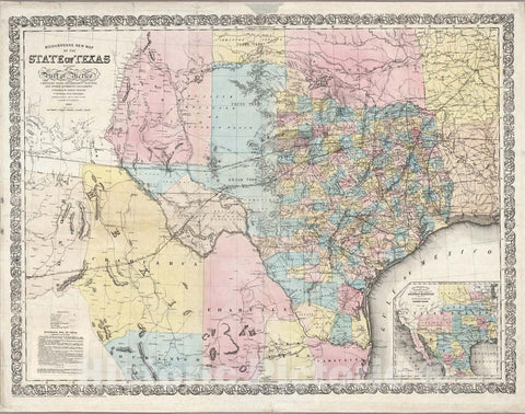
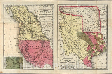
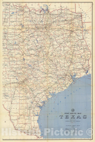
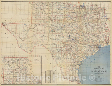
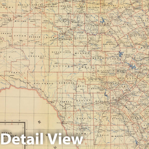
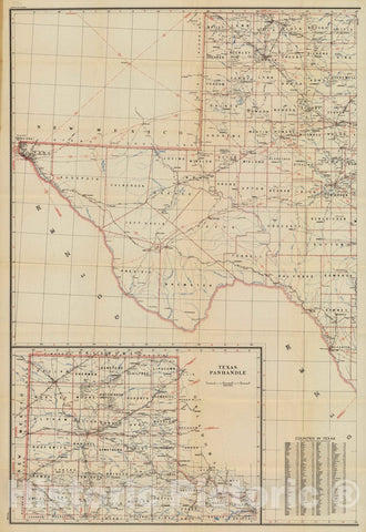
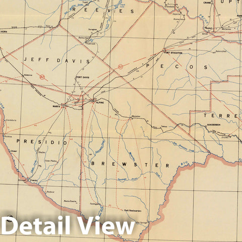
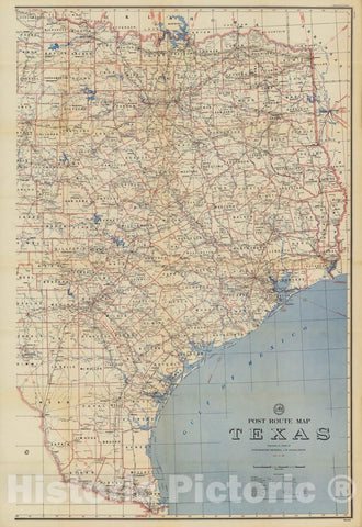
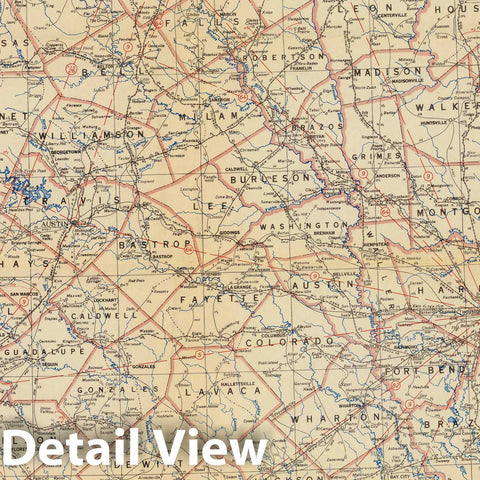
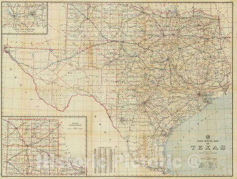
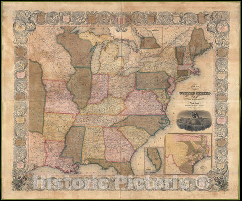
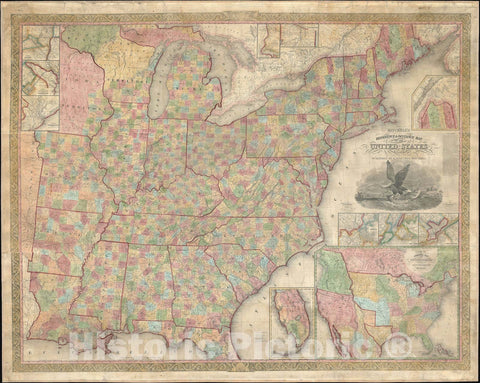
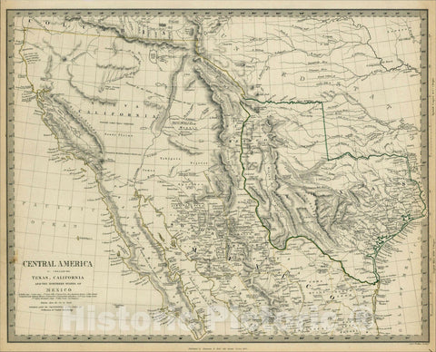
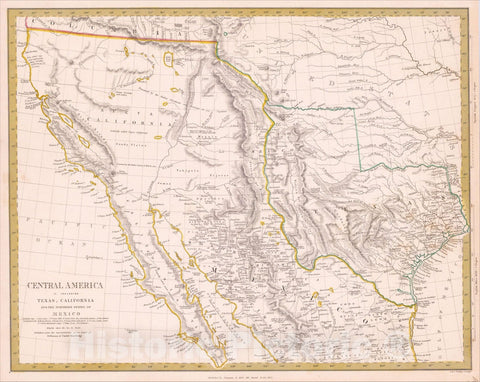
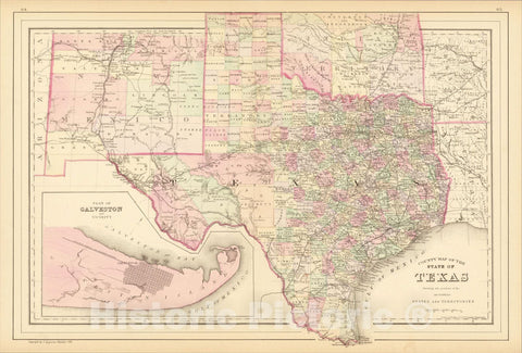
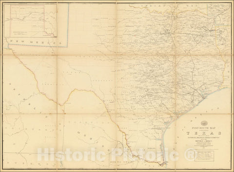
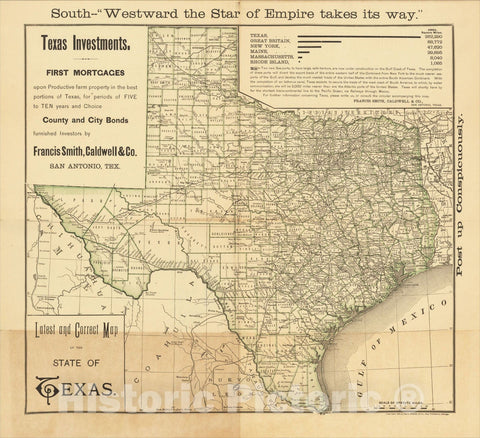
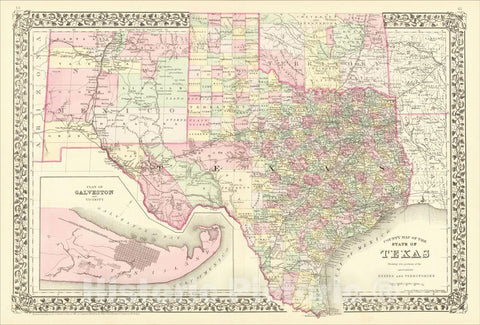
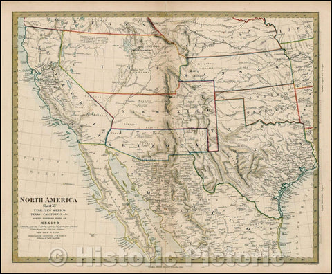
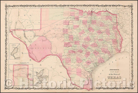
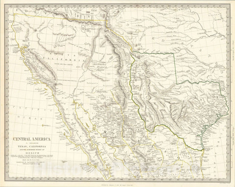
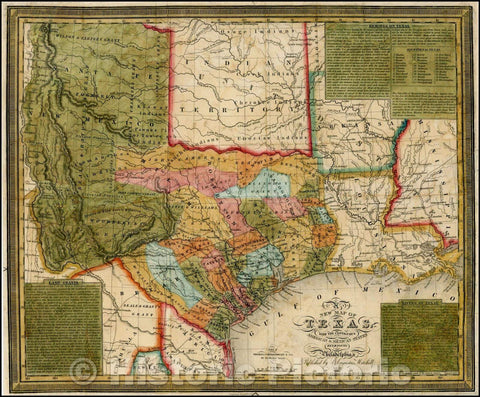
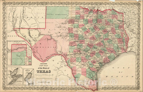
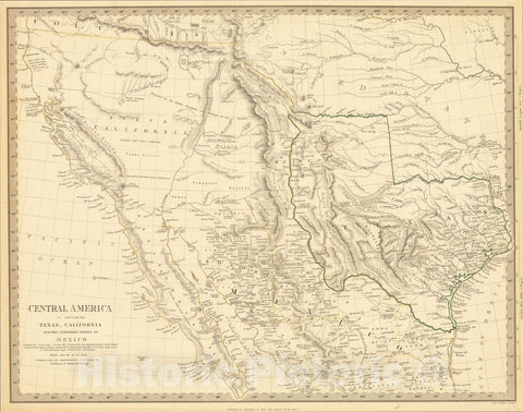
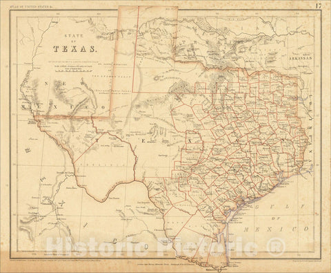
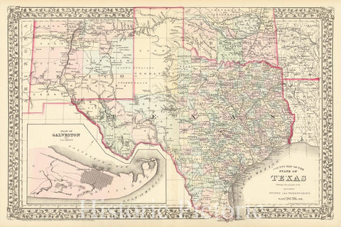
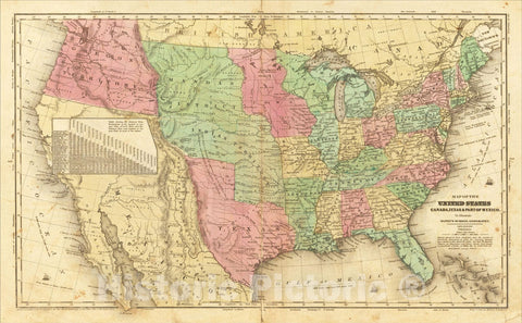
- Texas
- Utah
- Vermont
- Virginia
- Washington
- West Virginia
- Wisconsin
- Wyoming
- Art Prints
- Photographs
- Contact Us
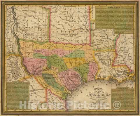
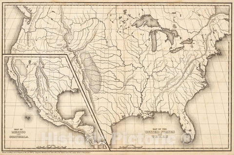
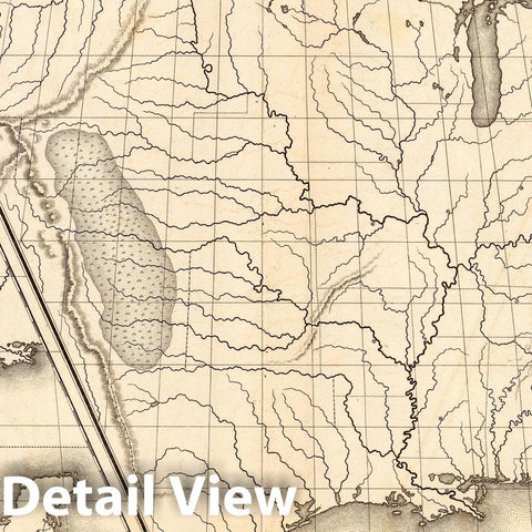
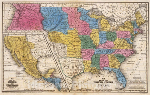
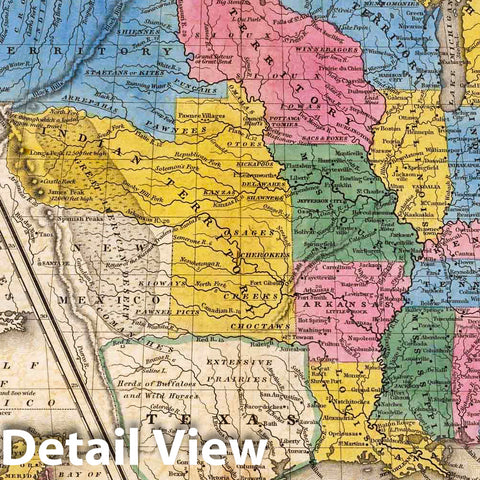
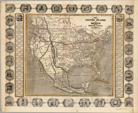
![Historic Map : The United States of Mexico, [Republic of Texas], 1842, Jeremiah Greenleaf, Vintage Wall Art](http://www.historicpictoric.com/cdn/shop/products/5237097_1wmrk_large.jpg?v=1683396483)
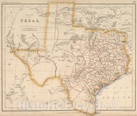
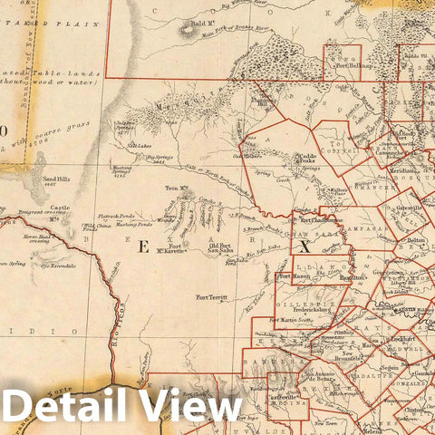
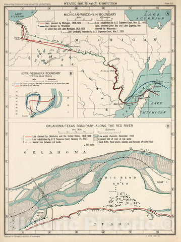
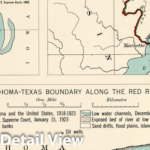
![Historic Map : [Untitled Possible Proof Section of Pressler's Traveller's Map of the State of Texas], c1867, , Vintage Wall Art](http://www.historicpictoric.com/cdn/shop/products/5236086_1wmrk_large.jpg?v=1683483908)