Skip to content
icon-X
Close menu
Maps
World Maps
World War 2 Maps
Pictorial Maps
USGS TopoGraphic Maps
Art Prints
Blueprints
Fine Art Museum Collections
Claude Monet
Photographs
Modern Photos
Posters
Collections
Kid's Room
Autos, Trains & Rails
Monet and Manet
Brewery, Beer, Liquor & more
Holiday Ready to Gift Products
Log in
Follow Us
instagram
Instagram
Facebook
twitter
Twitter
Maps
World Maps
World War 2 Maps
Pictorial Maps
USGS TopoGraphic Maps
Art Prints
Blueprints
Fine Art Museum Collections
Claude Monet
Photographs
Modern Photos
Posters
Collections
Kid's Room
Autos, Trains & Rails
Monet and Manet
Brewery, Beer, Liquor & more
Holiday Ready to Gift Products
account
Log in
icon-search
Search
icon-hamburger
Site navigation
icon-bag-minimal
Cart
Search
Search
Free economy shipping for unframed orders of $75 or more!
Filter
icon-X
Close menu
Product type
Map
(60)
Availability
In stock
(60)
Out of stock
(0)
Price
Bahamas Maps
icon-filter
Filter
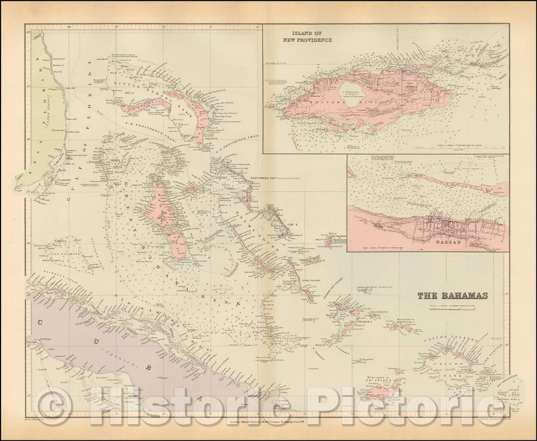
Historic Map : The Bahamas, 1896, Vintage Wall Art
From:
$49.99
Historic Map : South Florida, Bahamas,Florida Strait North Part Compiled from the Latest Admiralty and United States Coast Surveys,1877 (updates to 1938), Vintage Wall Art
From:
$49.99
Historic Map : South Florida, Bahamas,Florida Strait North Part Compiled from the Latest Admiralty and United States Coast Surveys,1877 (updates to 1927), Vintage Wall Art
From:
$49.99
Historic Map : Coastal Charts - Bahamas: New Providence Island 1952 , Vintage Wall Art
From:
$49.99
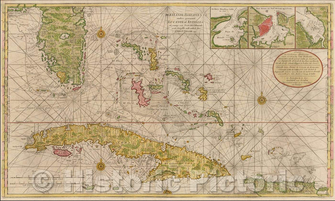
Historic 1650 Map - Map of a Part of The Island of Cuba and of The Bahamas
From:
$49.99
Historic 1861 Map - Map of The United States of North America, Upper & Lower Canada, New Brunswick, Nova Scotia & British Columbia. Mexico, Cuba, Jamaica, St. Domingo and The Bahamas
From:
$49.99
Historic Map : 1897 Jamaica, Bahamas, Trinidad and Bermudas : Vintage Wall Art
From:
$49.99
Historic Map - Carte Des Isles Lucayes (Bahamas & Southeast Coast of Florida), 1764, Jacques Nicolas Bellin - Vintage Wall Art
From:
$49.99
Historic Map - Cuba en Iamaica Soo als die door Koumbus Ontdekt/Map of Cuba, Florida, the Cayman Islands, Jamaica, Hispaniola, Bahamas, 1706 - Vintage Wall Art
From:
$49.99
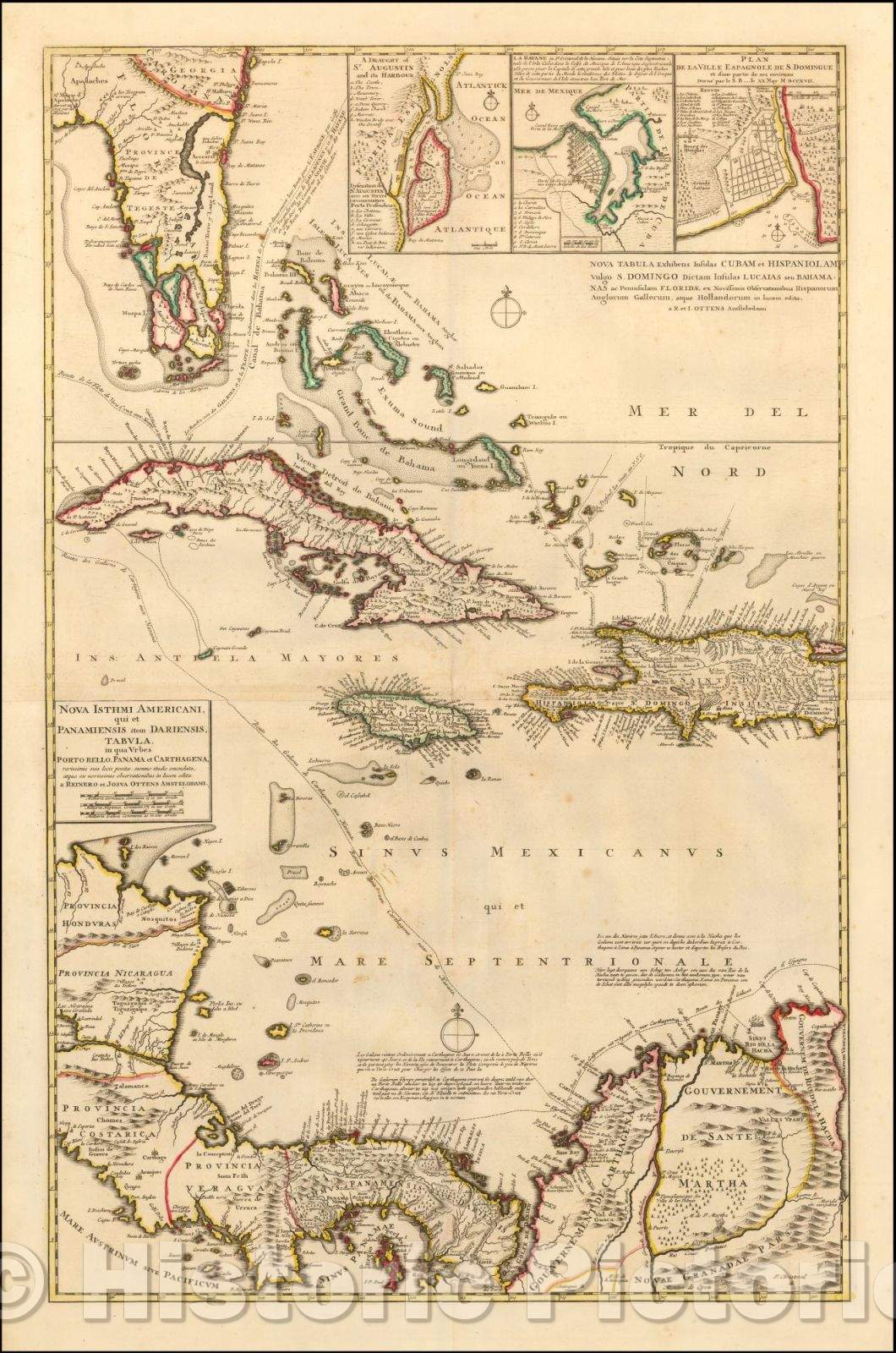
Historic Map - Nova Tabula Exhibens Insulas Cubam et Hispaniolam vulgo S. Domingo Dictam I :: Galeon Treasure Route Past Florida, Havana and Bahamas, 1740 - Vintage Wall Art
From:
$49.99
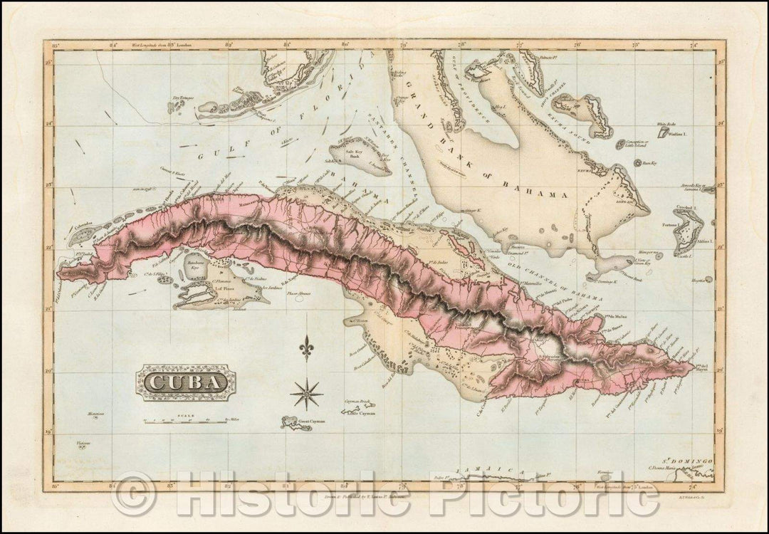
Historic Map - Cuba (with Florida Keys and Bahamas), 1823, Fielding Lucas Jr. - Vintage Wall Art
From:
$49.99
Historic Map - Nieuwe en Naeukeurige Afteekening vant Canaal van Bahama vertoonde Eyland Cuba :: Florida, the Bahamas, Cuba and the Cayman Islands, 1728 - Vintage Wall Art
From:
$49.99
Historic Map - Kaart Van Cuba (with the Florida Keys, South Florida and the Bahamas), 1898, New Rotterdam Courant - Vintage Wall Art
From:
$49.99
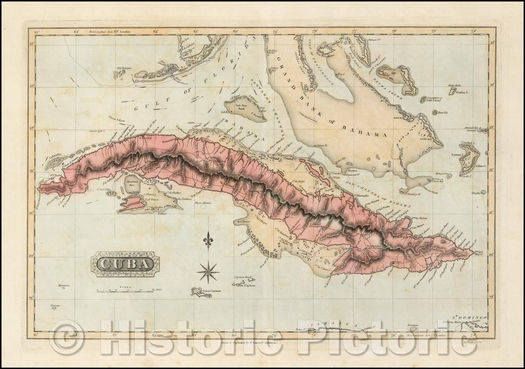
Historic Map - Cuba (with Florida Keys and Bahamas), 1823, Fielding Lucas Jr. - Vintage Wall Art
From:
$49.99
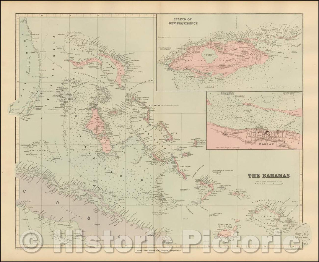
Historic Map - The Bahamas, 1896, Edward Stanford v3
From:
$49.99
Historic Map - Carta Esferica que comprende los desemboques/[Bahamas, Cuba, Santa Domingo] Letter Spherical comprising the North of the Island, 1802 - Vintage Wall Art
From:
$49.99
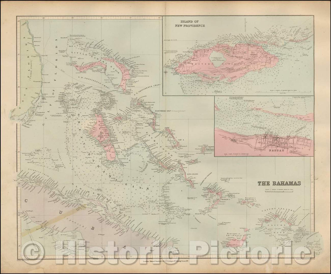
Historic Map - The Bahamas, 1896, Edward Stanford v2
From:
$49.99
Historic Map - The Bahamas, 1896, Edward Stanford v1
From:
$49.99
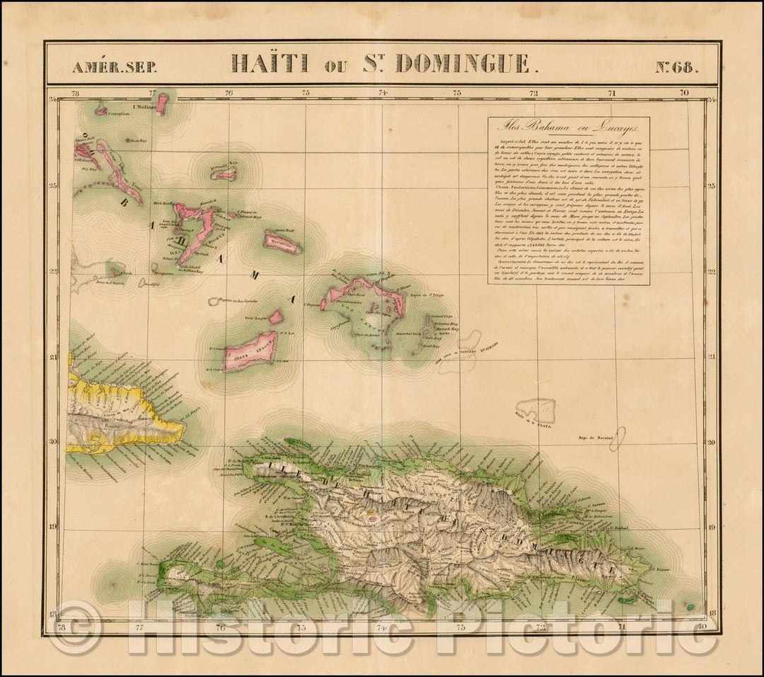
Historic Map - Amer. Sep. No. 68. Haiti ou St. Domingue includes Bahamas and Eastern Cuba, 1825, Philippe Marie Vandermaelen - Vintage Wall Art
From:
$29.99
1
2
3
4
icon-chevron
Next
icon-X
"Close (esc)"
icon-chevron-left
icon-X
icon-chevron
icon-X
Bahamas Wall Maps, Posters & Prints


![Historic Map - Carta Esferica que comprende los desemboques/[Bahamas, Cuba, Santa Domingo] Letter Spherical comprising the North of the Island, 1802 - Vintage Wall Art](http://www.historicpictoric.com/cdn/shop/products/5189737_1wmrk.jpg?v=1598002447&width=1080)