Skip to content
icon-X
Close menu
Maps
World Maps
World War 2 Maps
Pictorial Maps
USGS TopoGraphic Maps
Art Prints
Blueprints
Fine Art Museum Collections
Claude Monet
Photographs
Modern Photos
Posters
Collections
Kid's Room
Autos, Trains & Rails
Monet and Manet
Brewery, Beer, Liquor & more
Holiday Ready to Gift Products
Log in
Follow Us
instagram
Instagram
Facebook
twitter
Twitter
Maps
World Maps
World War 2 Maps
Pictorial Maps
USGS TopoGraphic Maps
Art Prints
Blueprints
Fine Art Museum Collections
Claude Monet
Photographs
Modern Photos
Posters
Collections
Kid's Room
Autos, Trains & Rails
Monet and Manet
Brewery, Beer, Liquor & more
Holiday Ready to Gift Products
account
Log in
icon-search
Search
icon-hamburger
Site navigation
icon-bag-minimal
Cart
Search
Search
Free economy shipping for unframed orders of $75 or more!
Filter
icon-X
Close menu
Historic Maps
icon-filter
Filter
Historic Map - Evolution of the Cowboy Levi's Round-Up of Cowboy Lore, 1933, Jo Mora - Vintage Wall Art
From:
$49.99
Historic Map - Scenic and Picturesque Florida, 1949, George Way - Vintage Wall Art
From:
$34.99
Historic Map - Yosemite, 1931, Jo Mora - Vintage Wall Art
From:
$49.99
Historic Map : Cartomap Leech Lake, Minnesota, 1940, Vintage Wall Decor
From:
$49.99
Historic Map - Pictorial Map of Washington,"The Evergreen State", 1948, - Vintage Wall Art
From:
$49.99
Historical Map, Plan of The Pan-American Exposition to be held at Buffalo, New York, May 1-Nov 1, 1901, Vintage Wall Art
From:
$49.99
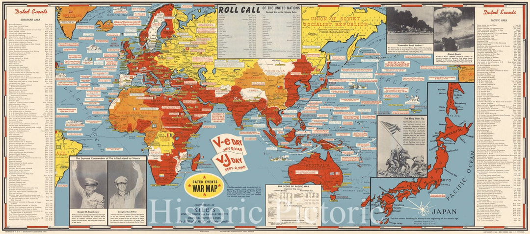
Historic Map : The World at The End of World War II, Turner, 1945, Vintage Wall Art
From:
$29.99
Historic Map : The Phillips Map of Northern Maine's St. Johns-Allagash Wilderness featuring the Allagash Wilderness Waterway State Park, 1967 , Vintage Wall Art
From:
$49.99
Historic Map : Phillips' Map of Northern Maine East of the Allagash, 1970 , Vintage Wall Art
From:
$49.99
Historic Map : Rangeley, Rangeley Lakes Region 1963 , Vintage Wall Art
From:
$39.99
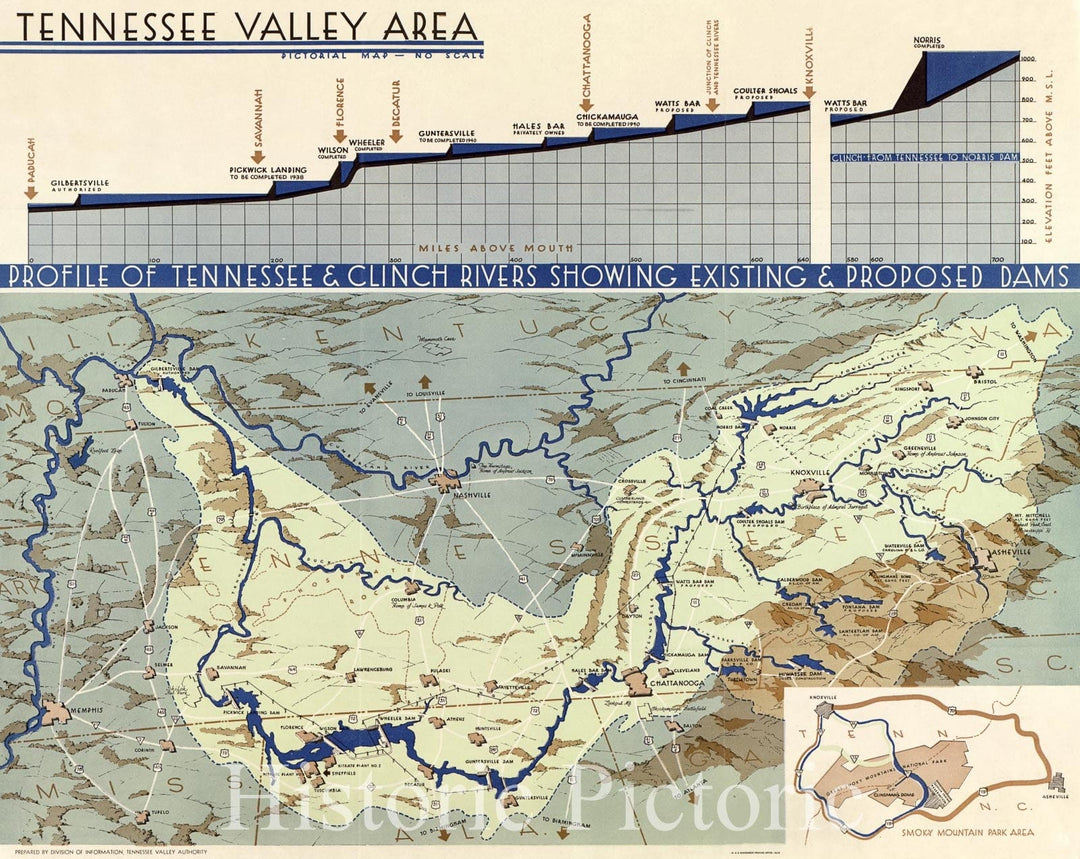
Historic 1939 Map - Tennessee Valley Area: pictorial map
From:
$49.99
Historic Map - Beautiful Lake Vermillion, 1938, Frank Antoncich - Vintage Wall Art
From:
$49.99
Historic Map - Big Bear Lake VAlley, 1946, Monte R. Viceroy - Vintage Wall Art
From:
$49.99
Historic Map - California. Topographic and Historic intention, Isle of Montalvo's dream, The El Dorado of '49, 1927, Jo Mora - Vintage Wall Art
From:
$49.99
Historic Map : Yosemite, 1931, Jo Mora, Vintage Wall Art
From:
$49.99
Historic Map : Historical and Recreational Map of Los Angeles, 1942, Jo Mora, Vintage Wall Art
From:
$49.99
Historic Map - Map of The Western Reserve Including the Fire Lands In Ohio, 1833 - Vintage Wall Art
From:
$49.99
Historic Map -, 1800-1932. A map of Middlebury College campus - Vintage Wall Art
From:
$49.99
Historic Map - Air Age Map of the World. A Polar Projection, 1945 - Vintage Wall Art
From:
$49.99
icon-chevron-left
Previous
1
2
3
4
5
…
1316
icon-chevron
Next
icon-X
"Close (esc)"
icon-chevron-left
icon-X
icon-chevron
icon-X
Historic Maps