Skip to content
icon-X
Close menu
Maps
World Maps
World War 2 Maps
Pictorial Maps
USGS TopoGraphic Maps
Art Prints
Blueprints
Fine Art Museum Collections
Claude Monet
Photographs
Modern Photos
Posters
Collections
Kid's Room
Autos, Trains & Rails
Monet and Manet
Brewery, Beer, Liquor & more
Holiday Ready to Gift Products
Log in
Follow Us
instagram
Instagram
Facebook
twitter
Twitter
Maps
World Maps
World War 2 Maps
Pictorial Maps
USGS TopoGraphic Maps
Art Prints
Blueprints
Fine Art Museum Collections
Claude Monet
Photographs
Modern Photos
Posters
Collections
Kid's Room
Autos, Trains & Rails
Monet and Manet
Brewery, Beer, Liquor & more
Holiday Ready to Gift Products
account
Log in
icon-search
Search
icon-hamburger
Site navigation
icon-bag-minimal
Cart
Search
Search
Free economy shipping for unframed orders of $75 or more!
Filter
icon-X
Close menu
Lake Maps
icon-filter
Filter
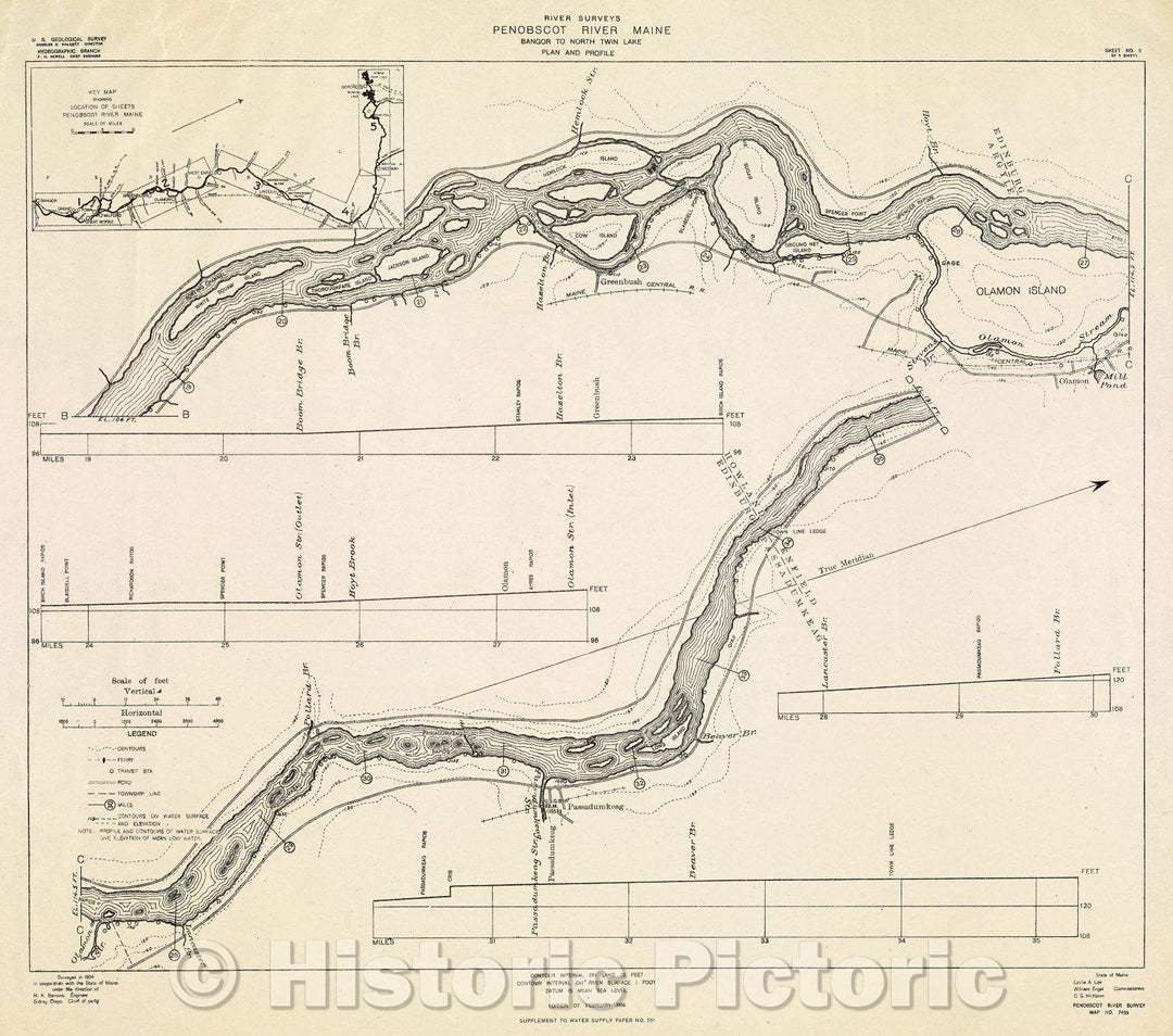
Historic Map : River Surveys : Penobscot River Maine, Bangor to North Twin Lake, Plan and Profile, 1906 , Vintage Wall Art , v4
From:
$29.99
Historic Map : River Surveys : Penobscot River Maine, Bangor to North Twin Lake, Plan and Profile, 1906 , Vintage Wall Art , v5
From:
$29.99
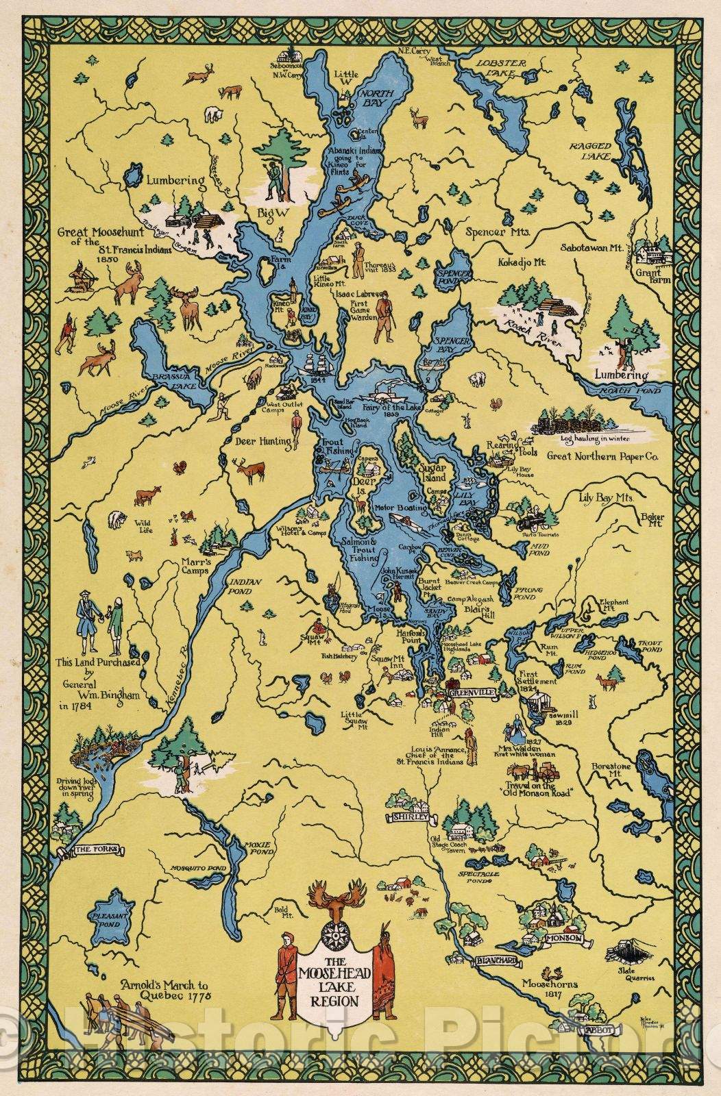
Historic Map : The Moosehead Lake Region, 1931 , Vintage Wall Art
From:
$49.99
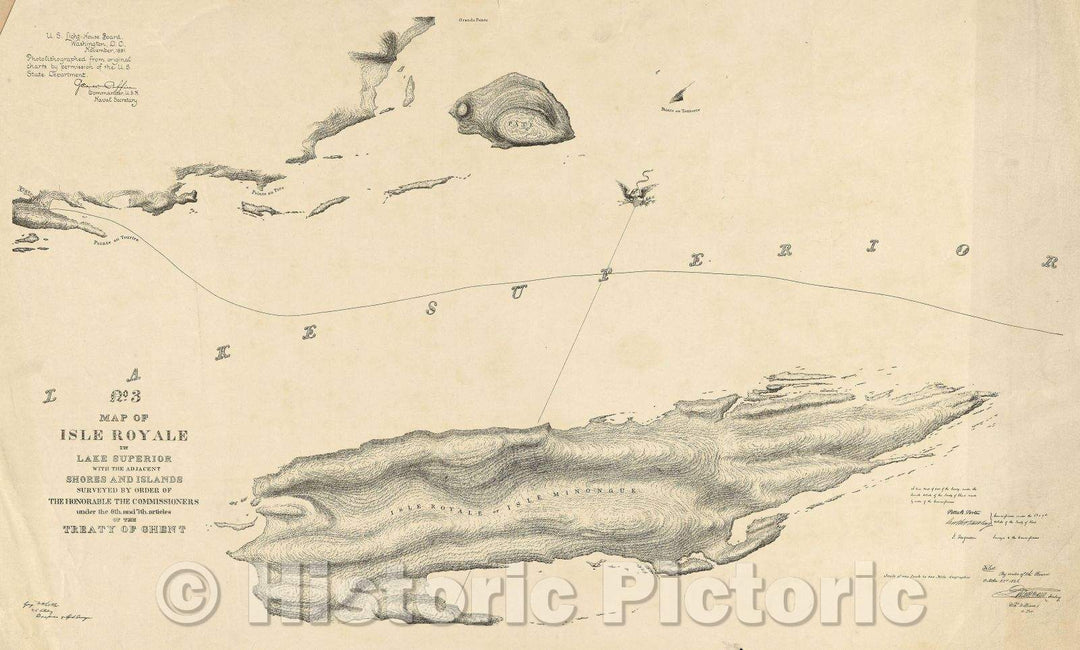
Historic Map : No. 3 Map of Isle Royale in Lake Superior with the adjacent Shores and Islands surveyed by order of the honorable the commissioners under the 6th, 1891 , Vintage Wall Art
From:
$49.99
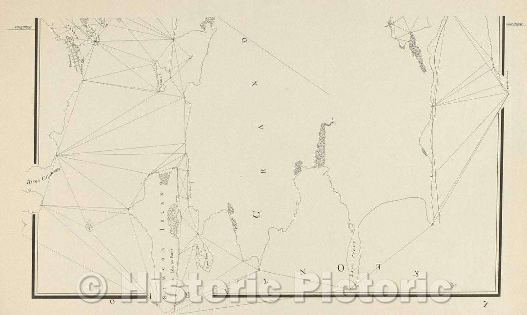
Historic Map : untitled map, including Simcoe Island in Lake Ontario, 1891 , Vintage Wall Art
From:
$49.99
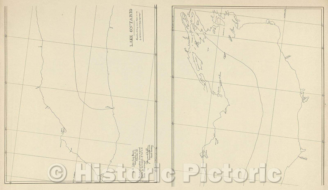
Historic Map : Lake Ontario, 1891 , Vintage Wall Art
From:
$39.99
Historic Map : South West End of Lake Erie, 1891 , Vintage Wall Art
From:
$49.99
Historic Map : Lake St. Clair, 1891 , Vintage Wall Art
From:
$29.99
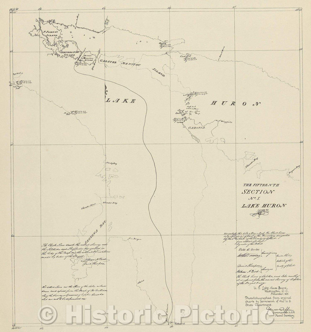
Historic Map : The Fifteenth Section No. 1 Lake Huron 1820 and 21, 1891 , Vintage Wall Art
From:
$34.99
Historic Map : The lakes of Franklin and Oxford counties, Maine, 1876 , Vintage Wall Art
From:
$49.99
Historic Map : The Lakes of Franklin and Oxford Counties, Maine., 1876 , Vintage Wall Art
From:
$49.99
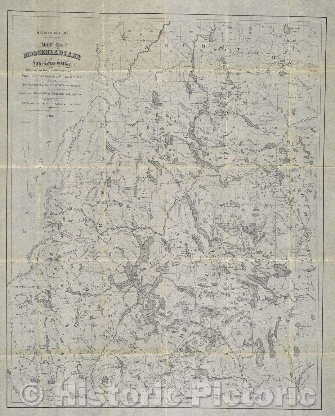
Historic Map : Map of Moosehead Lake and Northern Maine Embracing the Headwaters of the Penobscott, Kennebec, and St. John Rivers, 1883 , Vintage Wall Art
From:
$49.99
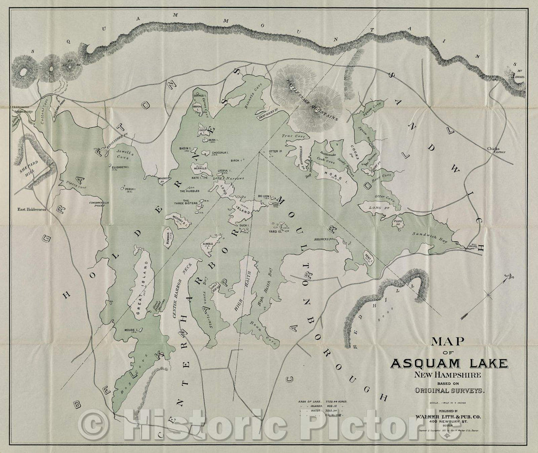
Historic Map : Map of Asquam Lake : New Hampshire, 1903 , Vintage Wall Art
From:
$49.99
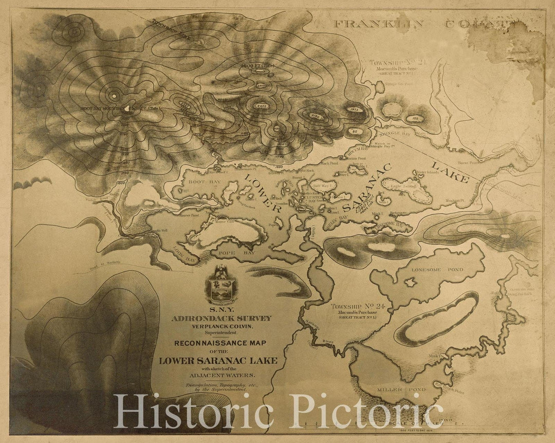
Historic Map : Reconnaissance Map of the Lower Saranac Lake with sketch of the Adjacent Waters. Triangulation, Topography, etc. by the Superintendent., 1879 , Vintage Wall Art
From:
$49.99
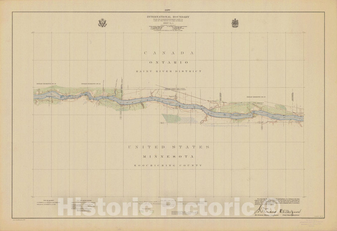
Historic Nautical Map - International Boundary, From The Northwesternmost Point Of Lake Of The Woods To Lake Superior, Sheet 2, MN, 1928 NOAA Topographic - Vintage Wall Art
From:
$49.99
Historic Nautical Map - International Boundary, From The Northwestern Point Of Lake Of The Woods To Lake Superior, Sheet No. 8, MN, 1928 NOAA Topographic - Vintage Decor Poster Wall Art Reproduction - 0
From:
$49.99
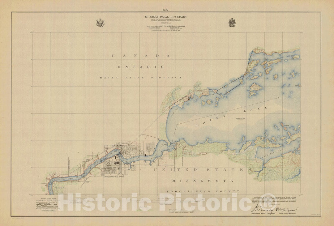
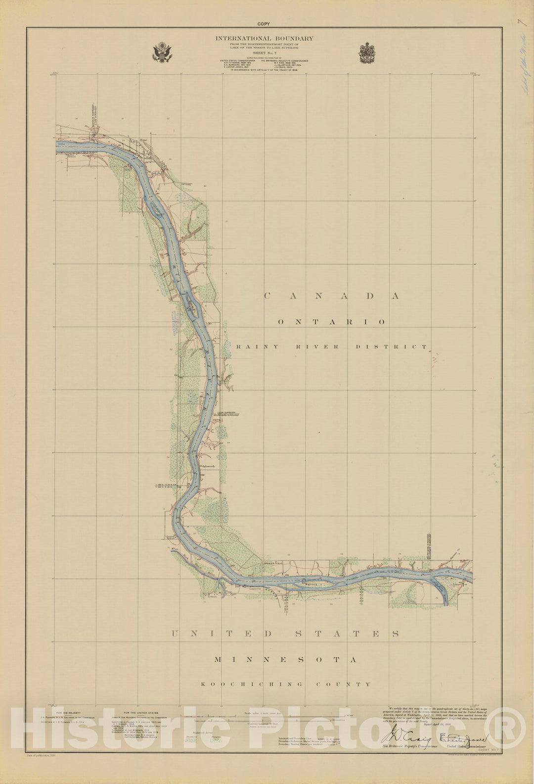
Historic Nautical Map - International Boundary, From The Northwestern Point Of Lake Of The Woods To Lake Superior, Sheet No. 7, MN, 1928 NOAA Topographic - Vintage Decor Poster Wall Art Reproduction - 0
From:
$49.99
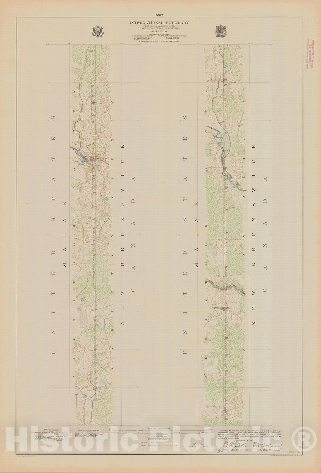
Historic Nautical Map - International Boundary, From The Northwestern Most Point Of Lake Of The Woods To Lake Superior, Sheet No. 60, ME, 1923 NOAA Topographic - Vintage Poster Wall Art Reproduction - 0
From:
$49.99
Historic Nautical Map - International Boundary, From The Northwestern Point Of Lake Of The Woods To Lake Superior, Sheet No. 6, MN, 1908 NOAA Topographic - Vintage Decor Poster Wall Art Reproduction - 0
From:
$49.99
icon-chevron-left
Previous
1
…
4
5
6
7
8
…
395
icon-chevron
Next
icon-X
"Close (esc)"
icon-chevron-left
icon-X
icon-chevron
icon-X
Lake Maps, Posters & Prints