Skip to content
icon-X
Close menu
Maps
World Maps
World War 2 Maps
Pictorial Maps
USGS TopoGraphic Maps
Art Prints
Blueprints
Fine Art Museum Collections
Claude Monet
Photographs
Modern Photos
Posters
Collections
Kid's Room
Autos, Trains & Rails
Monet and Manet
Brewery, Beer, Liquor & more
Holiday Ready to Gift Products
Log in
Follow Us
instagram
Instagram
Facebook
twitter
Twitter
Maps
World Maps
World War 2 Maps
Pictorial Maps
USGS TopoGraphic Maps
Art Prints
Blueprints
Fine Art Museum Collections
Claude Monet
Photographs
Modern Photos
Posters
Collections
Kid's Room
Autos, Trains & Rails
Monet and Manet
Brewery, Beer, Liquor & more
Holiday Ready to Gift Products
account
Log in
icon-search
Search
icon-hamburger
Site navigation
icon-bag-minimal
Cart
Search
Search
Free economy shipping for unframed orders of $75 or more!
Filter
icon-X
Close menu
Non-LIVEARf
icon-filter
Filter
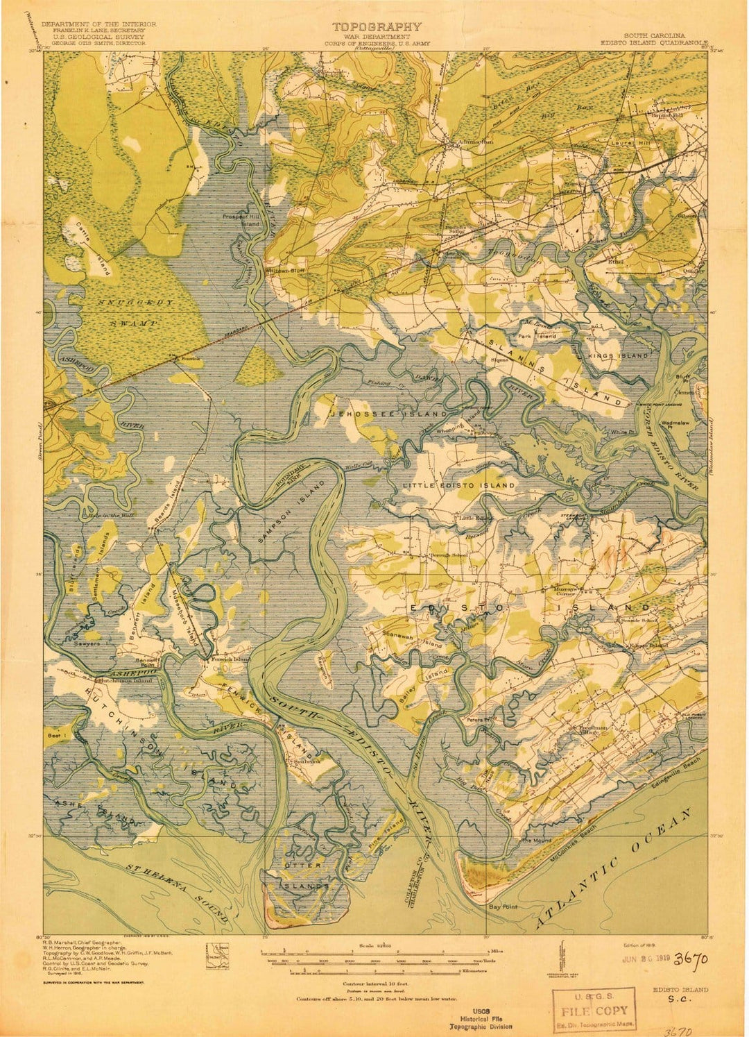
1919 Edisto Island, SC - South Carolina - USGS Topographic Map
From:
$49.99
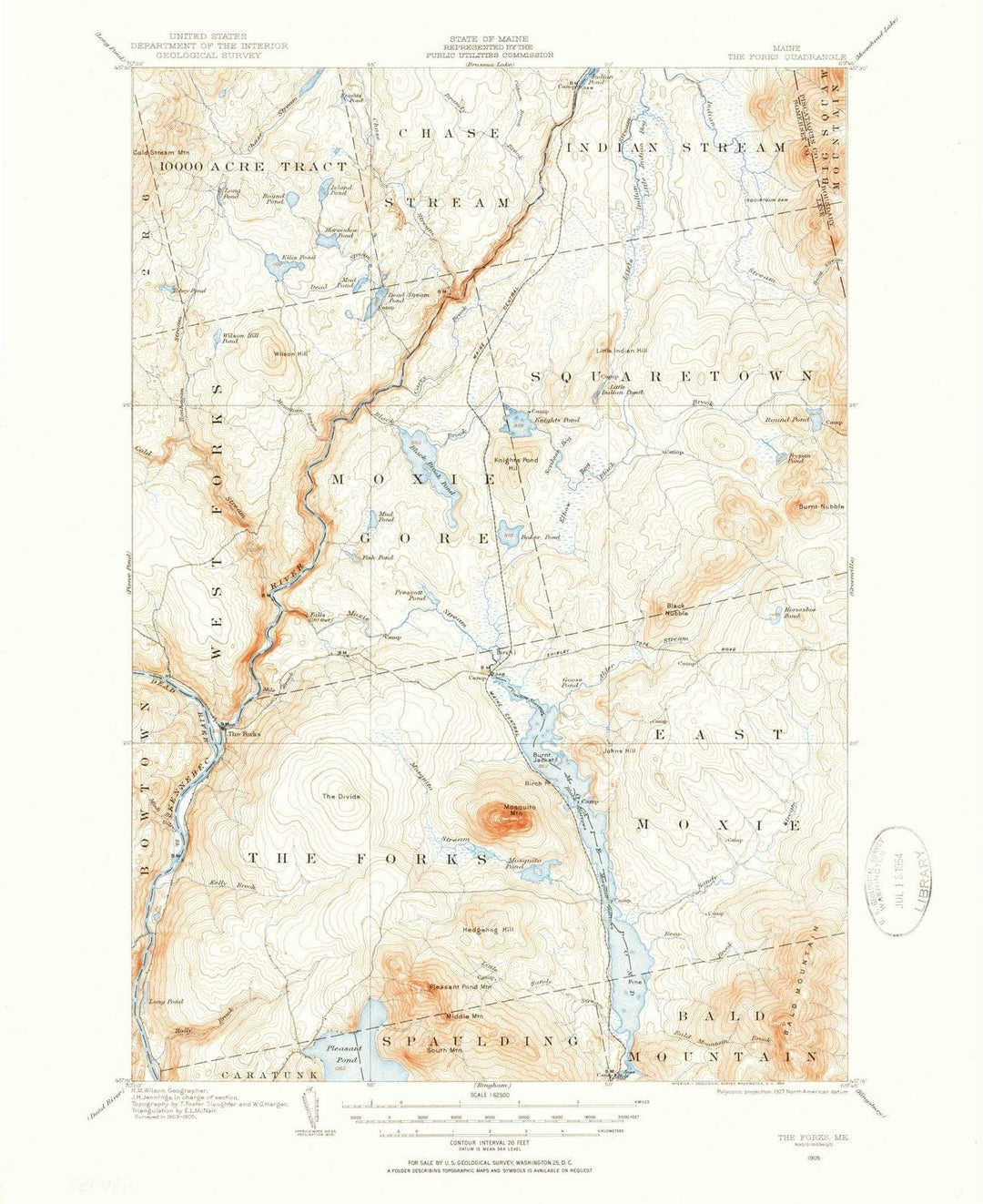
1905 The Forks, ME - Maine - USGS Topographic Map
From:
$49.99
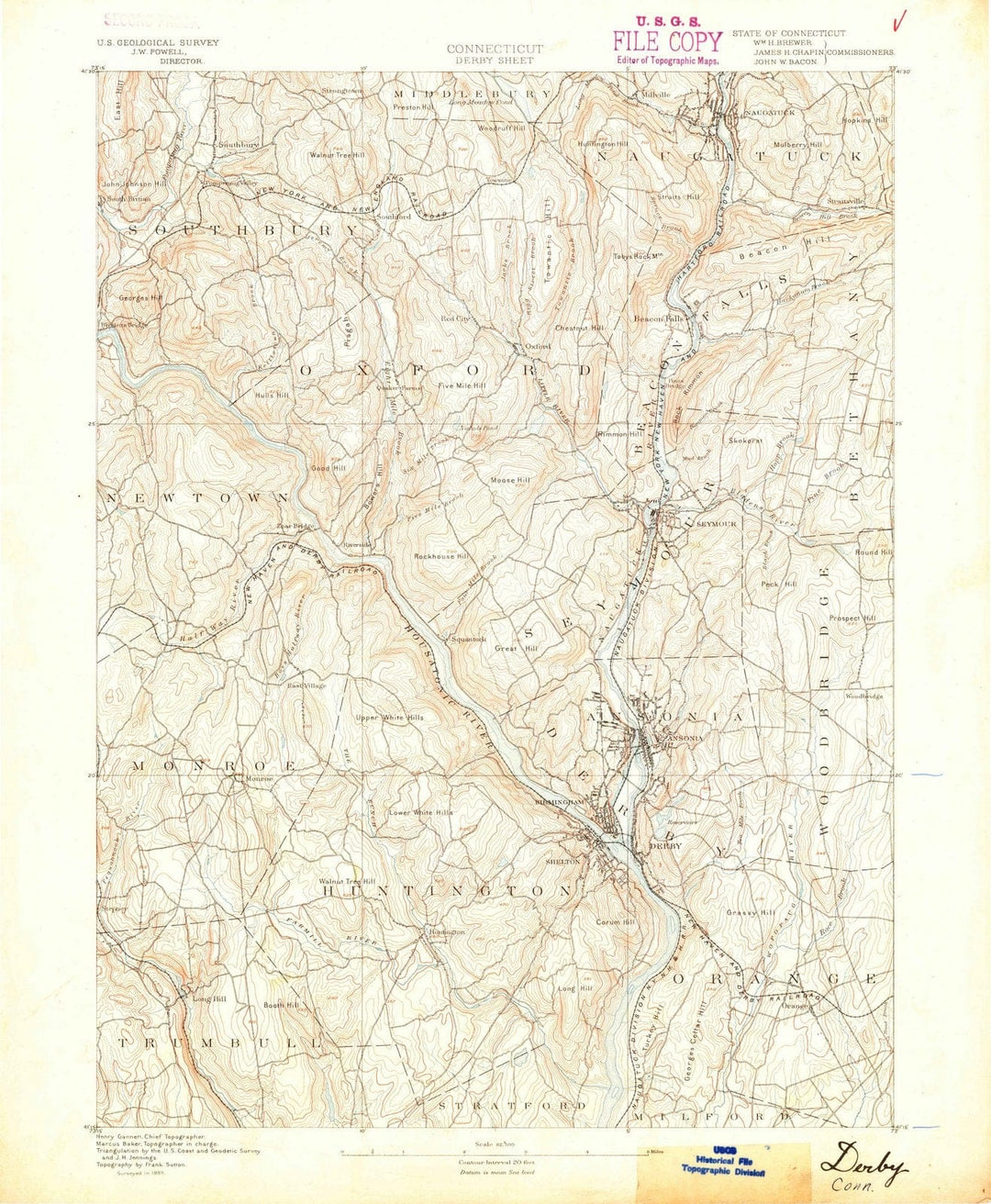
1889 Derby, CT - Connecticut - USGS Topographic Map
From:
$49.99
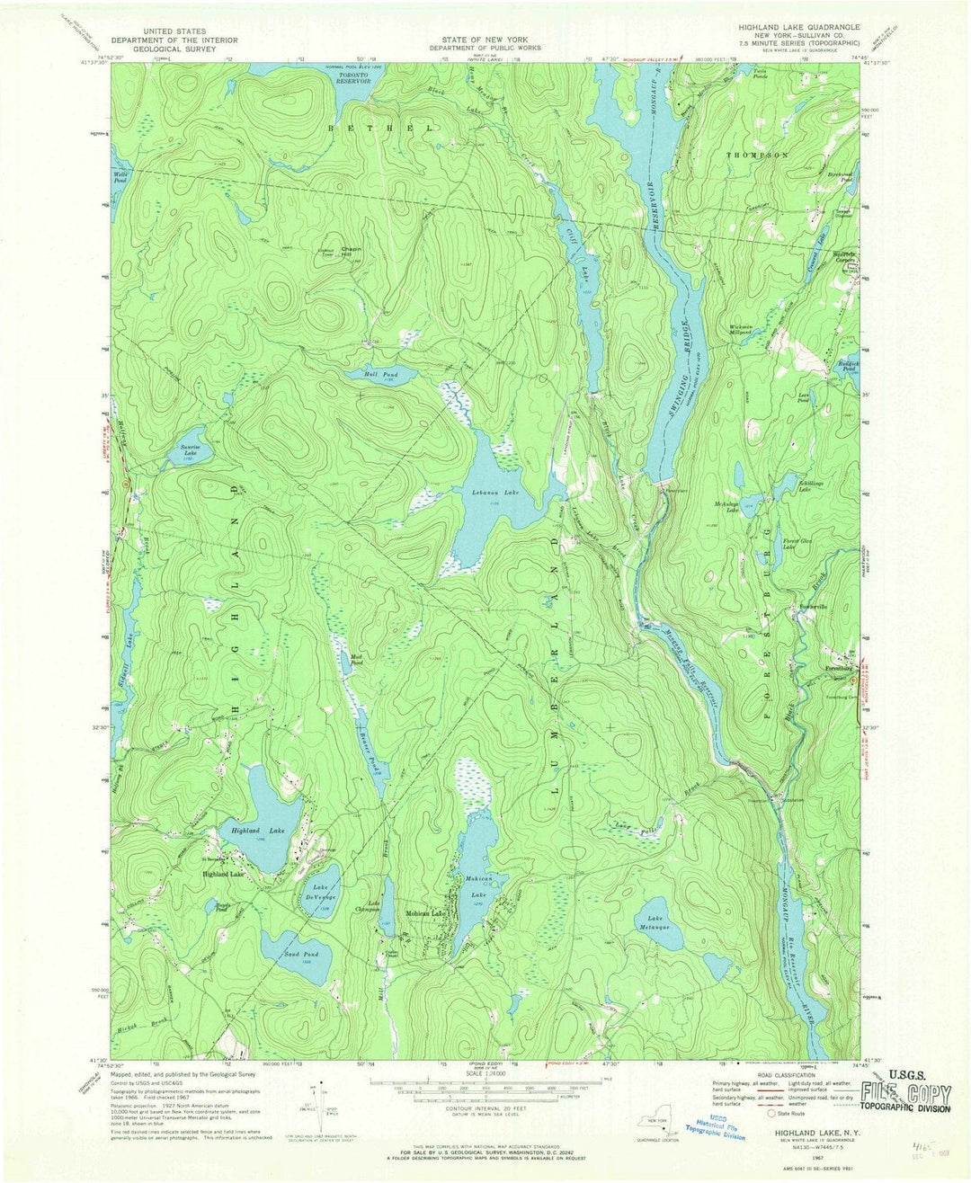
1967 Highland Lake, NY - New York - USGS Topographic Map
From:
$49.99
1935 Highlands, NC - North Carolina - USGS Topographic Map
From:
$49.99
2010 Southport, NC - North Carolina - USGS Topographic Map
From:
$49.99
1988 Dalzell, SC - South Carolina - USGS Topographic Map
From:
$49.99
Historic Map - Map of the Berkeley Campus University of California, Devised for California Monthly, In the Year of the Golden Gate International Exposition, 1939 - Vintage Wall Art
From:
$49.99
Historic Map - Map of the City of Seattle King County Washington Territory, 1882, Sylvanus C. Harris - Vintage Wall Art
From:
$29.99
Historic Map - The Pilgrim Map Cape Cod Martha's Vineyard and Nantucket, 1949, Clara Katrina Chase - Vintage Wall Art
From:
$49.99
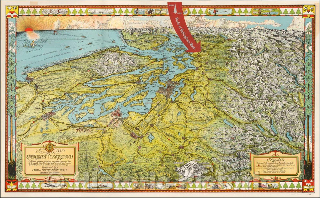
Historic Map - Puget Sound & Northwestern Washington, The Evergreen Playground, 1948, Kroll Map Company v1
From:
$49.99
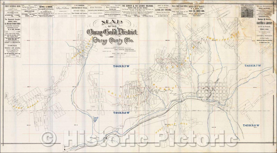
Historic Map - Map of the Ouray Gold District. Ouray County, Colo, 1890, Wheeler & Hurlburt - Vintage Wall Art
From:
$39.99
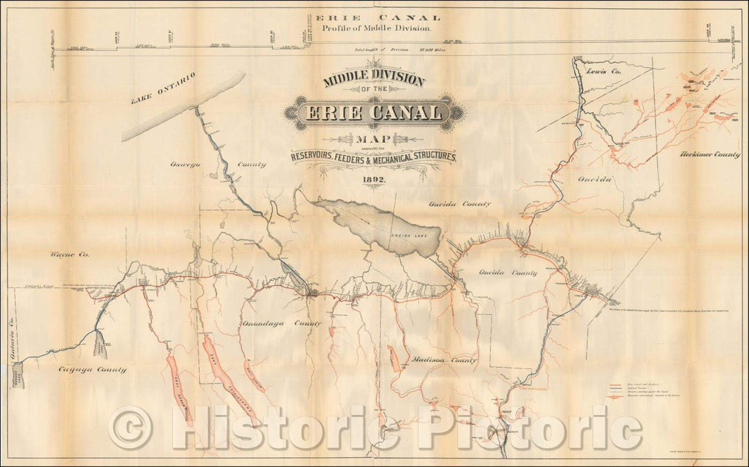
Historic Map - Middle Division of the Erie Canal. Map Showing Its Reservoirs, Feeders & Mechanical Structures, 1892, James B. Lyon - Vintage Wall Art
From:
$49.99
Historic Map - (Lebanon) Carte du Liban d'apres les reconnaissances de la Brigade Topographique du Corps/The First Modern Survey of Lebanon, 1862 - Vintage Wall Art
From:
$49.99
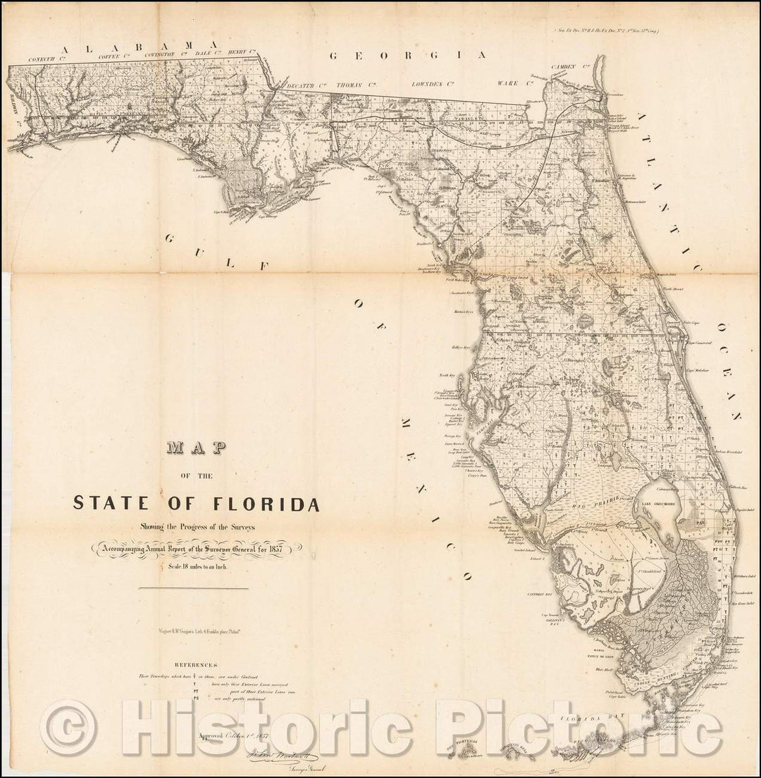
Historic Map - Map of the State of Florida Showing the Progress of the Surveys, 1857, U.S. General Land Office - Vintage Wall Art
From:
$34.99
Historic Map - Our Country As Traitors & Tyrants Would Have It. or Map of the Disunited States, 1864, H.H. Lloyd - Vintage Wall Art
From:
$49.99
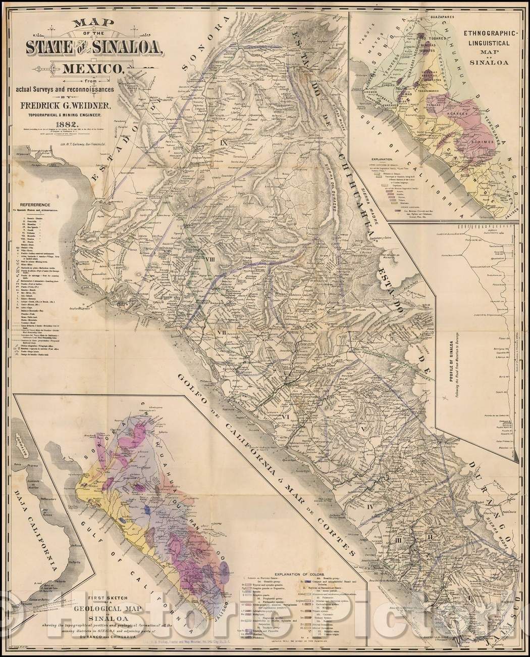
Historic Map - Map of the State of Sinaloa, Mexico, from actual Surveys and reconnoissances, 1882, Fredrick G. Weidner - Vintage Wall Art
From:
$49.99
Historic Map - Map of Lake Champlain, 1892, Seneca Ray Stoddard - Vintage Wall Art
From:
$34.99
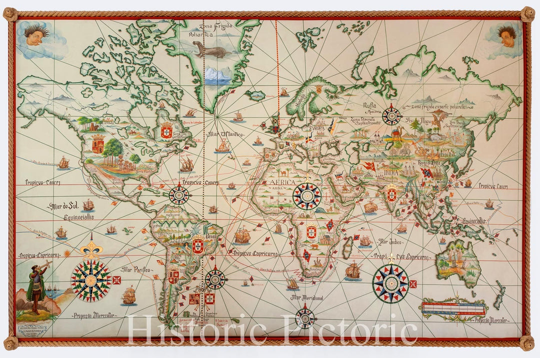
Historic Map - Exhibition Poster Portugese Discoveries and Explorations - XV and XVI Centuries, 1970, Museu de Marinha - Vintage Wall Art
From:
$49.99
icon-chevron-left
Previous
1
…
23
24
25
26
27
…
1316
icon-chevron
Next
icon-X
"Close (esc)"
icon-chevron-left
icon-X
icon-chevron
icon-X
Non-LIVEARf