Skip to content
icon-X
Close menu
Maps
World Maps
World War 2 Maps
Pictorial Maps
USGS TopoGraphic Maps
Art Prints
Blueprints
Fine Art Museum Collections
Claude Monet
Photographs
Modern Photos
Posters
Collections
Kid's Room
Autos, Trains & Rails
Monet and Manet
Brewery, Beer, Liquor & more
Holiday Ready to Gift Products
Log in
Follow Us
instagram
Instagram
Facebook
twitter
Twitter
Cart
icon-X
Close cart
Your cart is currently empty.
Maps
World Maps
World War 2 Maps
Pictorial Maps
USGS TopoGraphic Maps
Art Prints
Blueprints
Fine Art Museum Collections
Claude Monet
Photographs
Modern Photos
Posters
Collections
Kid's Room
Autos, Trains & Rails
Monet and Manet
Brewery, Beer, Liquor & more
Holiday Ready to Gift Products
account
Log in
icon-search
Search
icon-hamburger
Site navigation
icon-bag-minimal
Cart
Search
Search
Free economy shipping for unframed orders of $75 or more!
Filter
icon-X
Close menu
Product type
Architectural Blueprint
(1)
Geologic Map
(33)
Map
(1257)
Topographic Map
(23)
Availability
In stock
(1314)
Out of stock
(0)
Price
Ocean Maps
icon-filter
Filter
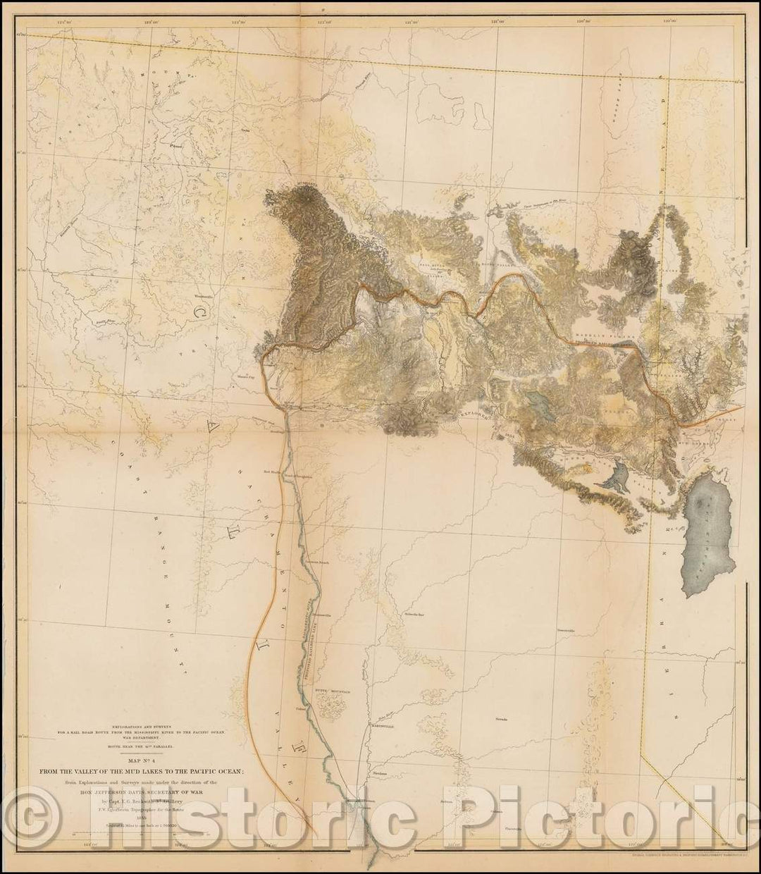
Historic Map - Map No. 4 From The Valley of the Mud Lakes to the Pacific Ocean; from Explorations and Surveys made, 1855, U.S. Pacific RR Surveys - Vintage Wall Art
From:
$49.99
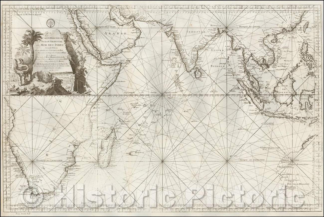
Historic Map - Carte Reduite De L'Ocean Oriental ou Mer Des Indes Seconde Edition Pour Servir aux Vaisseau du Roy, 1767, Jacques Nicolas Bellin v1
From:
$49.99
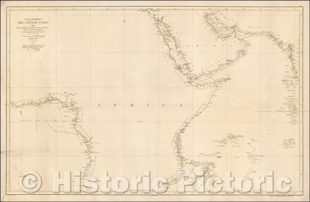
Historic Map - Carta Esferica De Ocean Indio Hoja I Que Comprehende Desde :: Spanish Sea Chart of a section of the east and west coast of Africa, Madagascar, 1861 - Vintage Wall Art
From:
$49.99
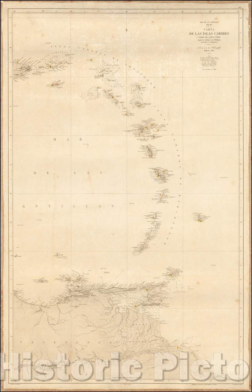
Historic Map - Carta De Las Islas y Parte de Costa Firme segun los trabajos/Sea Chart of eastern Caribbean Ocean and coastline of South America, 1868 - Vintage Wall Art
From:
$49.99
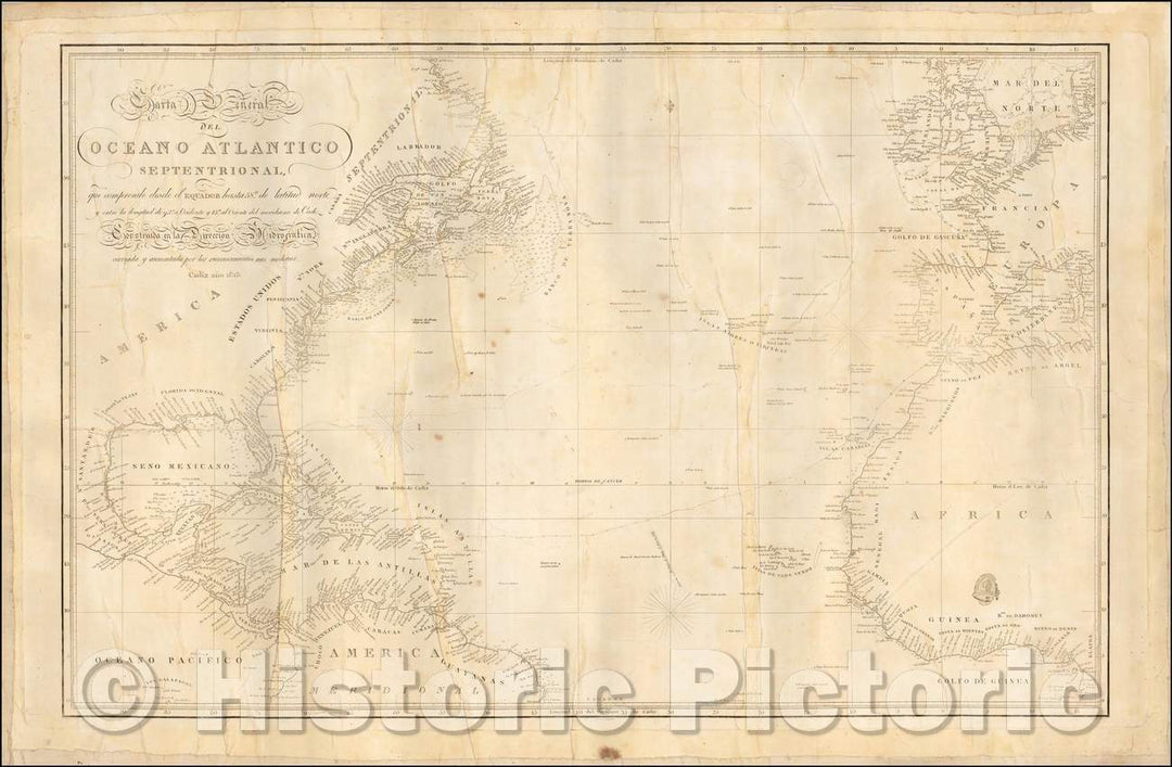
Historic Map - Carta General del Oceano Atlantico Septentrional/Spanish Sea Chart of the Atlantic Ocean, Spain and parts of Ireland, England, France, 1813 - Vintage Wall Art
From:
$49.99
Historic Map - This Chart of the Indian and Pacific Oceans, 1849, Richard Holmes Laurie - Vintage Wall Art
From:
$39.99
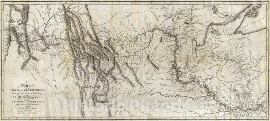
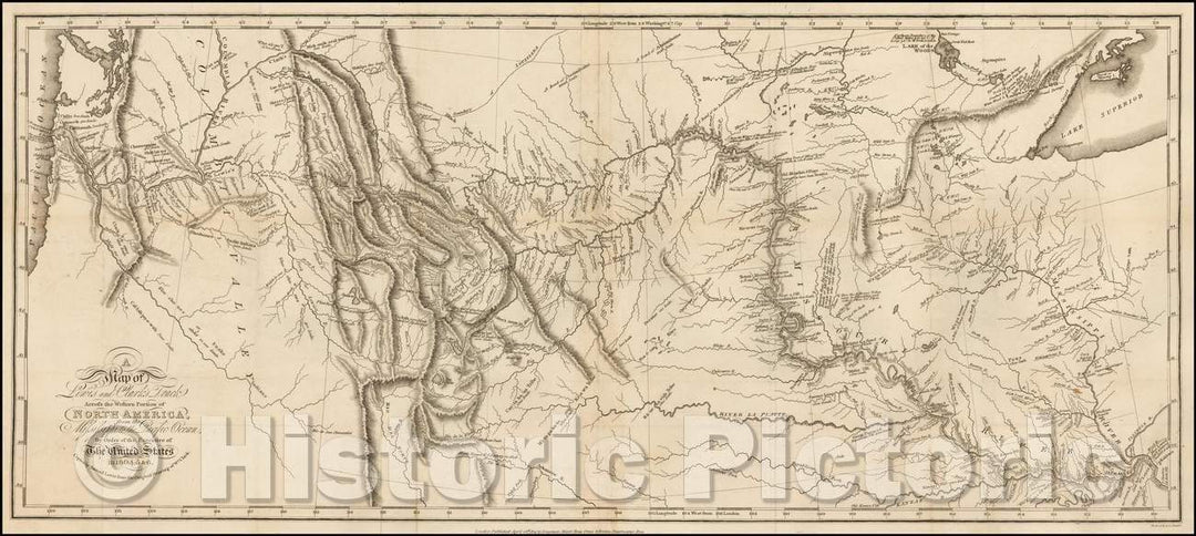
Historic Map - A Map of Lewis and Clark's Track, Across the Western Portion of North America, from the Mississippi to the Pacific Ocean, 1814, William Clark - Vintage Wall Art
From:
$29.99
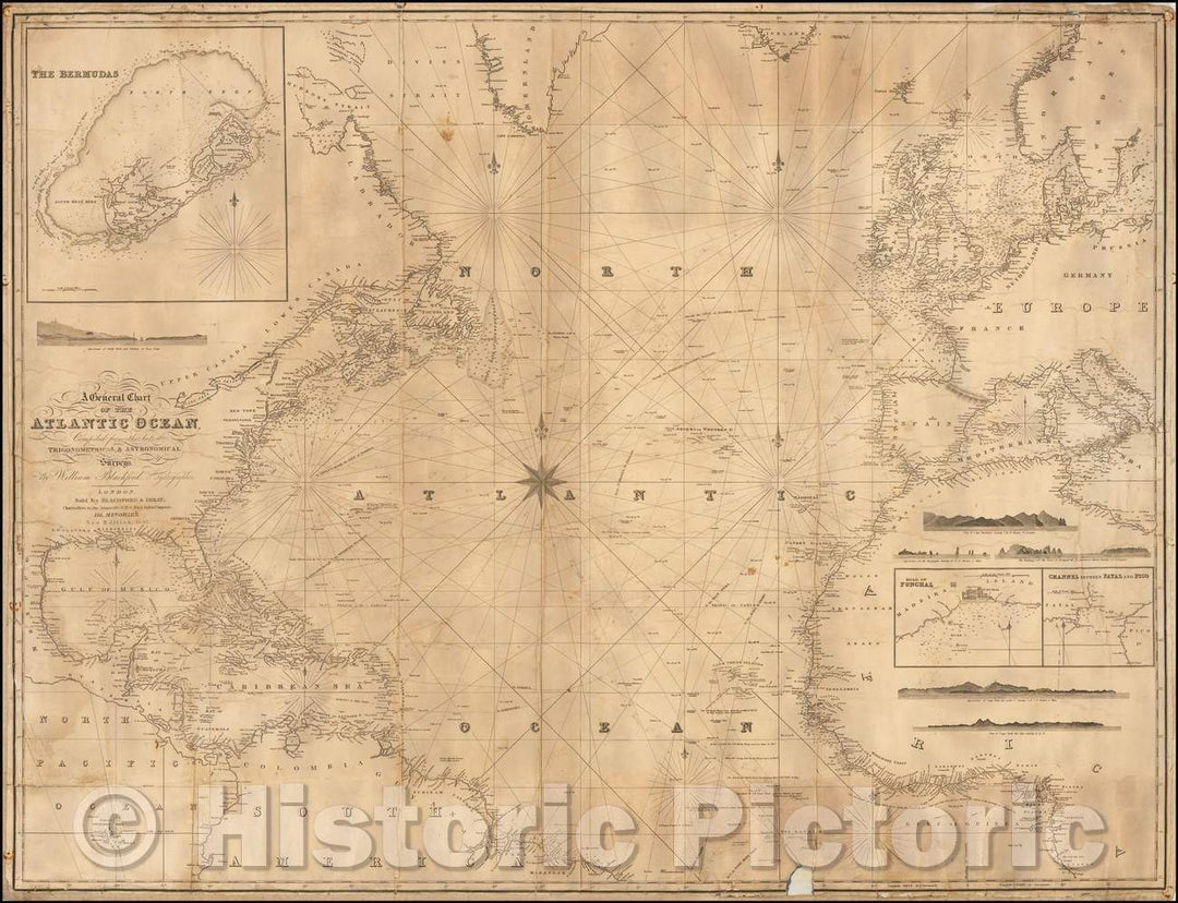
Historic Map - A General Chart of the Atlantic Ocean, compiled from the latest Trigonometrical & Astronomical Hydrographer Surveys, 1847, Blachford & Imray - Vintage Wall Art
From:
$49.99
Historic Map - Carta Reducida Del Oceano Asiatico, O Mar Del Sur/Edition of Tomas Lopez's 1771 Map of California and Baja California, 1646, Robert Dudley - Vintage Wall Art
From:
$49.99
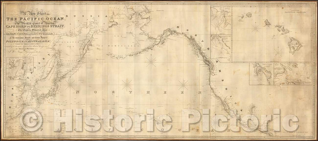
Historic Map - Chart of The Pacific Ocean, Western Coast of America from Cape Horn to Beerings Strait, The Eastern Shores of Asia Including Japan, 1844 - Vintage Wall Art
From:
$29.99
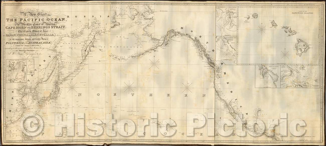
Historic Map - Chart of The Pacific Ocean, Western Coast of America from Cape Horn to Beerings Strait, The Eastern Shores of Asia Including Japan, 1836 v1
From:
$29.99
Historic Map - Pas-caert Van't Oostelyckste Deel van Oost Indien met alle de Eylanden daer onder g :: Sea Chart of Australia, Southeast Asia and Indian Ocean, 1669 - Vintage Wall Art
From:
$49.99
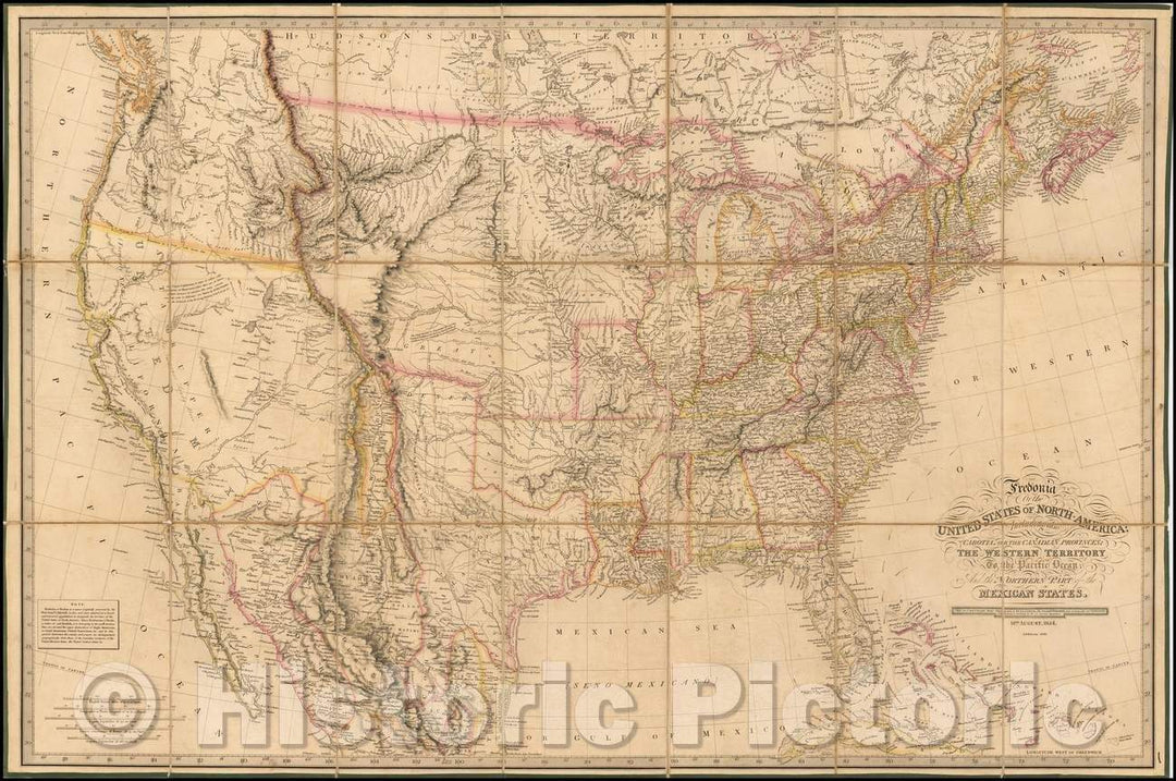
Historic Map - Fredonia Or The United States of North America; Including also Cabotia, or the Canadian Provinces; The Western Territory To the Pacific Ocean, 1836 - Vintage Wall Art
From:
$49.99
Historic Map - Pascaerte Van't Oostelyckste deel van Oost-Indien met alle de Eylanden :: Sea Chart of Australia, Southeast Asia and Indian Ocean, 1670 - Vintage Wall Art
From:
$49.99
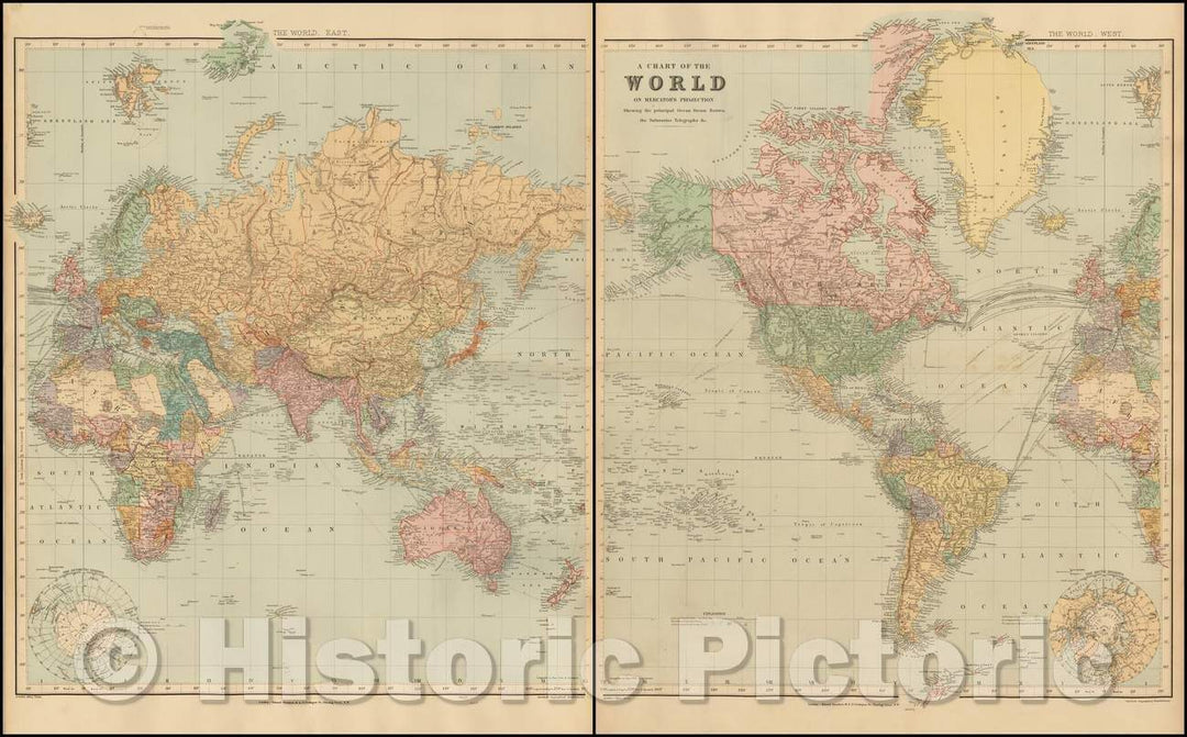
Historic Map - A Chart of the World on Mercator's Projection Shewing the Principal Ocean Steam Routes, the Submarine Telegraphs &c, 1896, Edward Stanford - Vintage Wall Art
From:
$49.99
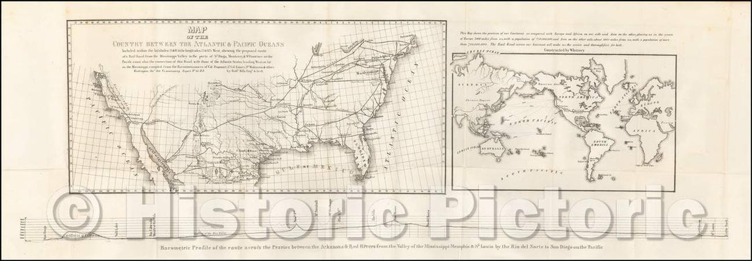
Historic Map - Map of the Country Between The Atlantic & Pacific Oceans, 1848, Robert Mills - Vintage Wall Art
From:
$29.99
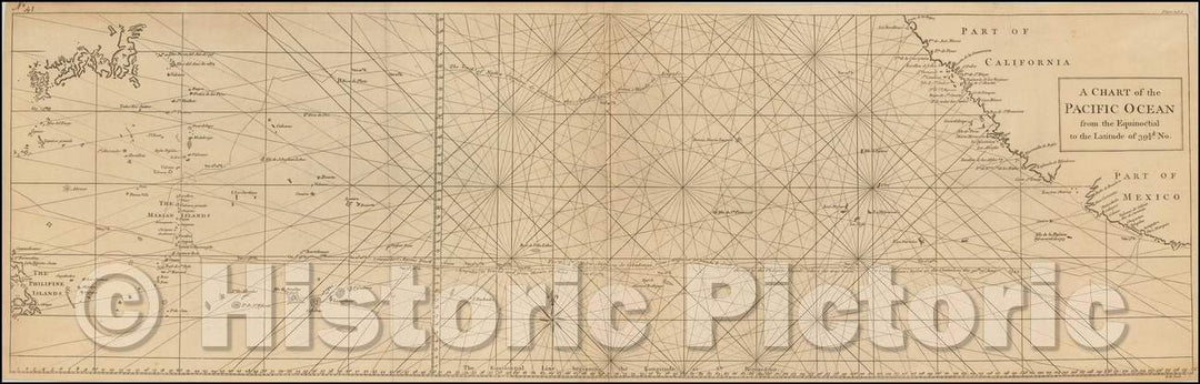
Historic Map - A Chart of the Pacific Ocean from the Equinotical to the Latitude of 39 1/2 d. No, 1750, Richard William Seale - Vintage Wall Art
From:
$34.99
Historic Map - A Map of Lewis and Clark's Track Across the Western Portion of North America, from the Mississippi to the Pacific Ocean, 1814, William Clark v2
From:
$29.99
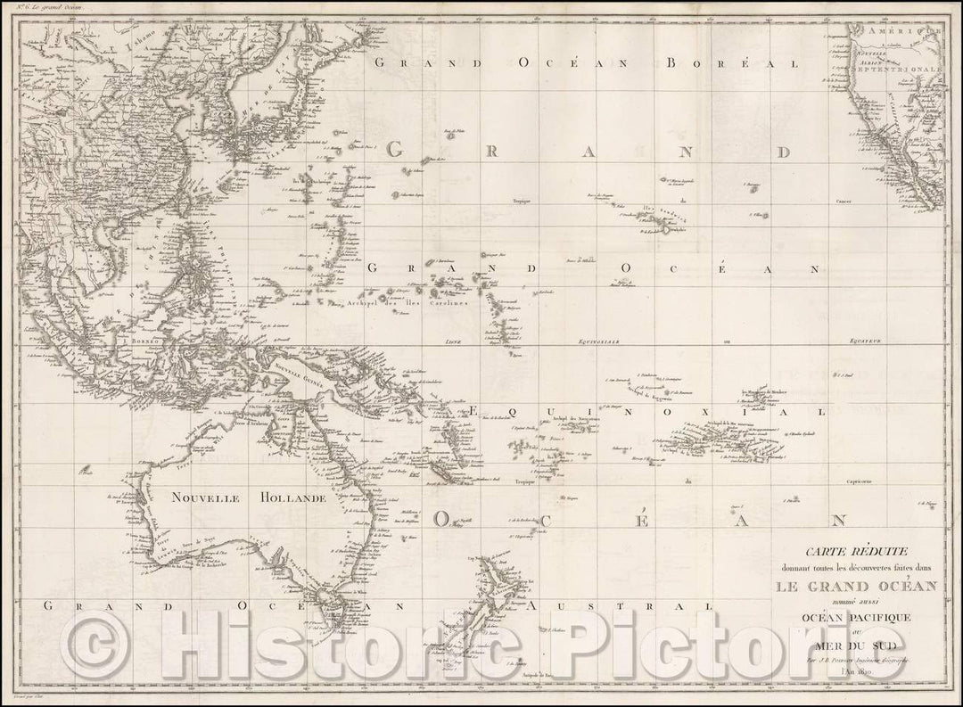
Historic Map - Carte Reduite donnant toutes les decouvertes faites dans Le Grand Ocean no :: Grand Ocean, 1810 - Vintage Wall Art
From:
$49.99
icon-chevron-left
Previous
1
…
29
30
31
32
33
…
70
icon-chevron
Next
icon-X
"Close (esc)"
icon-chevron-left
icon-X
icon-chevron
icon-X
Ocean Wall Maps, Posters & Prints