Skip to content
icon-X
Close menu
Maps
World Maps
World War 2 Maps
Pictorial Maps
USGS TopoGraphic Maps
Art Prints
Blueprints
Fine Art Museum Collections
Claude Monet
Photographs
Modern Photos
Posters
Collections
Kid's Room
Autos, Trains & Rails
Monet and Manet
Brewery, Beer, Liquor & more
Holiday Ready to Gift Products
Log in
Follow Us
instagram
Instagram
Facebook
twitter
Twitter
Cart
icon-X
Close cart
Your cart is currently empty.
Maps
World Maps
World War 2 Maps
Pictorial Maps
USGS TopoGraphic Maps
Art Prints
Blueprints
Fine Art Museum Collections
Claude Monet
Photographs
Modern Photos
Posters
Collections
Kid's Room
Autos, Trains & Rails
Monet and Manet
Brewery, Beer, Liquor & more
Holiday Ready to Gift Products
account
Log in
icon-search
Search
icon-hamburger
Site navigation
icon-bag-minimal
Cart
Search
Search
Free economy shipping for unframed orders of $75 or more!
Filter
icon-X
Close menu
Product type
Architectural Blueprint
(1)
Geologic Map
(33)
Map
(1257)
Topographic Map
(23)
Availability
In stock
(1314)
Out of stock
(0)
Price
Ocean Maps
icon-filter
Filter
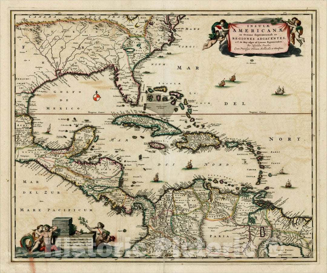
Historic Map : Insulae Americanae in Oceano Septentrionali ac Regiones Adiacentes, a C. de May usque ad Lineam Aequinoctialem , c1682, , Vintage Wall Art
From:
$49.99
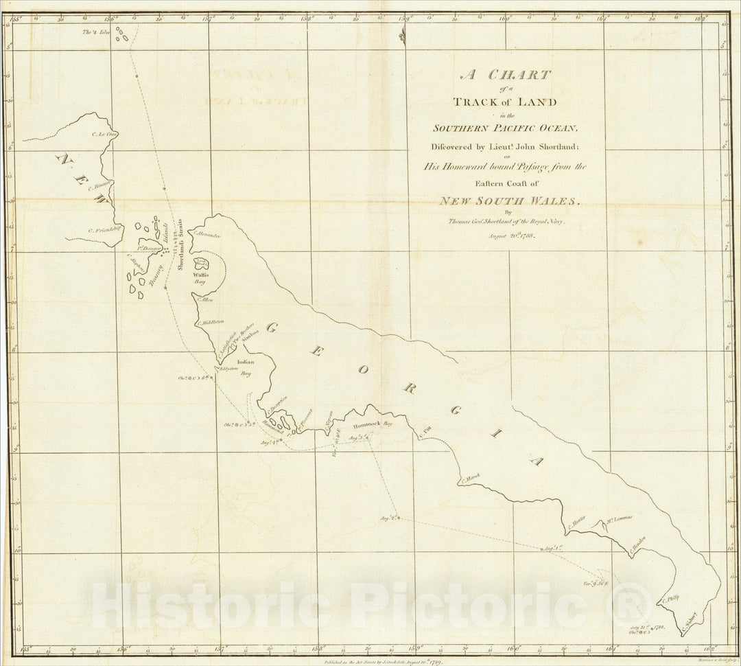
Historic Map : Chart of a Track of Land in the Southern Pacific Ocean, 1789, John Stockdale, Vintage Wall Art
From:
$29.99
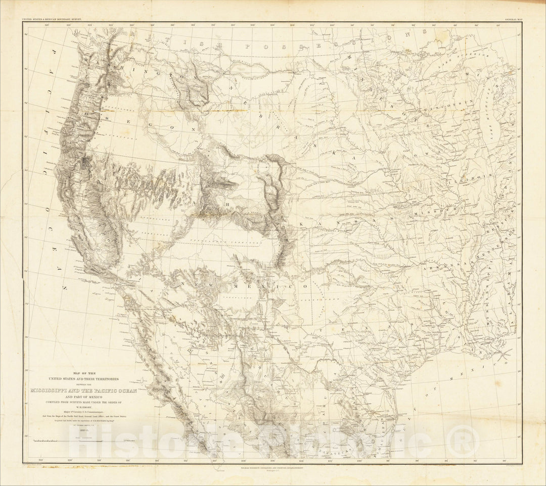
Historic Map : Map of the United States and Their Territories Between the Mississippi and the Pacific Ocean and Part of Mexico, W.H. Emory, 1857-8., 1858, v2, Vintage Wall Art
From:
$29.99
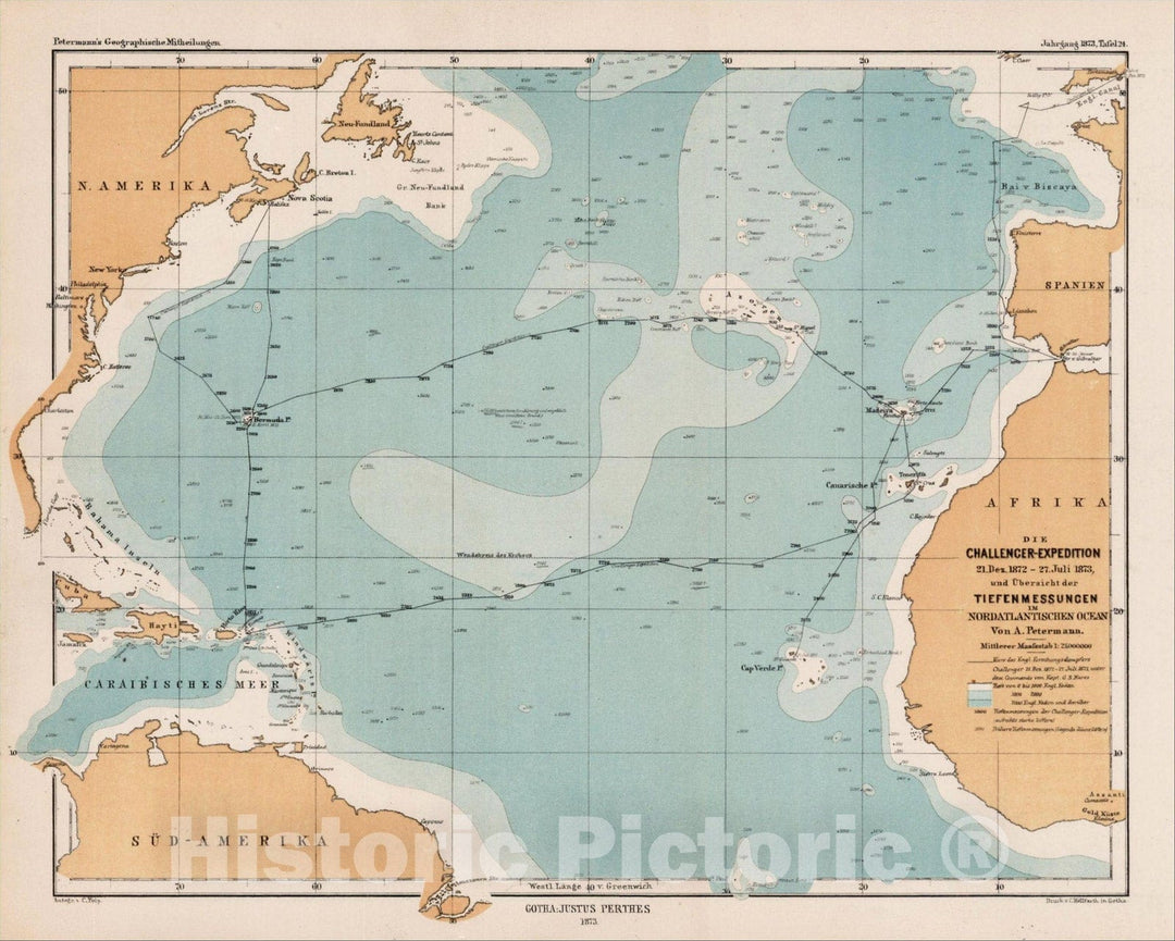
Historic Map : Die Challenger-Expedition 21 Dez. 1872 - 27 Juli 1873 unde Ubersicht der Tiefenmessungen Nordatlantischen Ocean, 1873, Augustus Herman Petermann, Vintage Wall Art
From:
$49.99
Historic Map : Chart of the Atlantic or Western Ocean and Adjacent Seas Including The Coasts of Europe and Africa, 1783, Sayer & Bennett, Vintage Wall Art
From:
$49.99
Historic Map : Oceani occidetalis Seu Terre Noue Tabula Christophorus Columbus natione Italus, patria Genuensis, 1525, Lorenz Fries, Vintage Wall Art
From:
$49.99
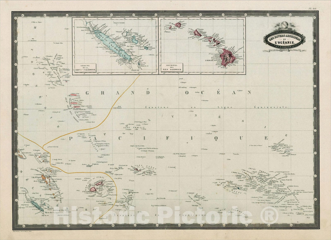
Historic Map : Les Divers Archipels De L'Oceanie, 186, 1860, F.A. Garnier, Vintage Wall Art
From:
$49.99
Historic Map : A New Map of the Terraqueous Globe according to the Ancient Discoveries and most general Divisions of it into Contienents and Oceans., c1700, Vintage Wall Art
From:
$49.99
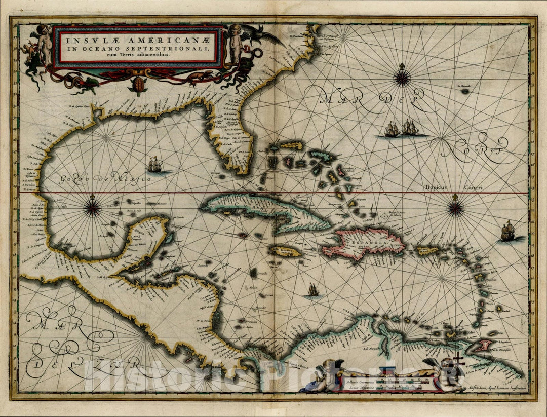
Historic Map : Insulae Americanae in Oceano Septentrionali cum Terris adiacentibus, c1635, Jan Jansson, Vintage Wall Art
From:
$49.99
Historic Map : A New and Correct Chart Shewing the Variations of the Compass in the Western & Southern Oceans, 1702, , Vintage Wall Art
From:
$49.99
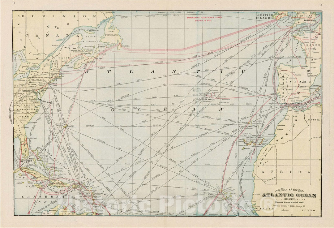
Historic Map : Map of the Atlantic Ocean Showing Distandces between Principal Points, 1892, George F. Cram, Vintage Wall Art
From:
$49.99
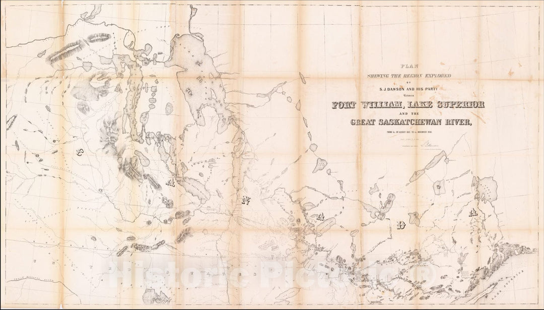
Historic Map : Great Saskatchewan River Connecting the Atlantic and Pacific Oceans, 1858, Vintage Wall Art
From:
$39.99
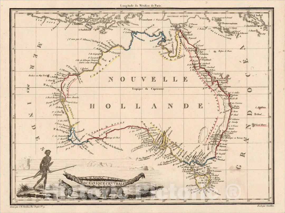
Historic Map : Oceanique Centrale (Australia), 1812, Conrad Malte-Brun, v2, Vintage Wall Art
From:
$49.99
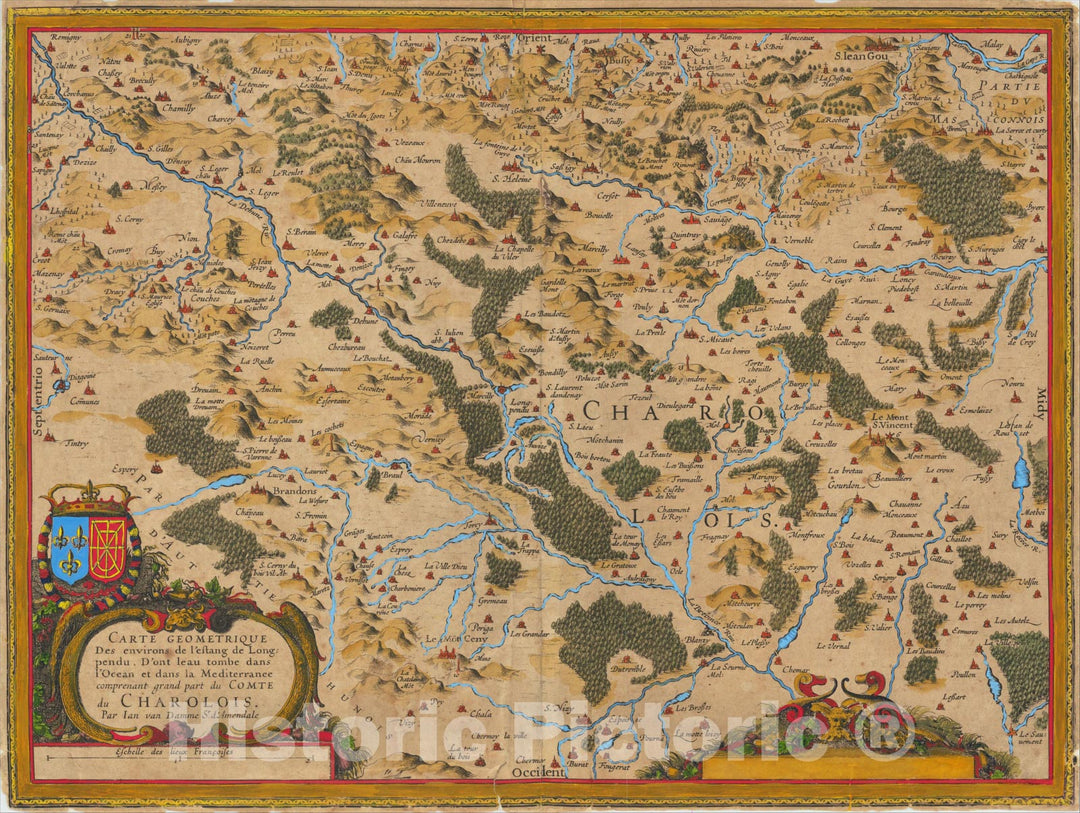
Historic Map : Carte Geometrique des Environs de l'Estang de Longpendu, d'ont leau Tombe dans l'Ocean et dans la Mediterranee, 1620, Gerard Mercator, v2, Vintage Wall Art
From:
$49.99
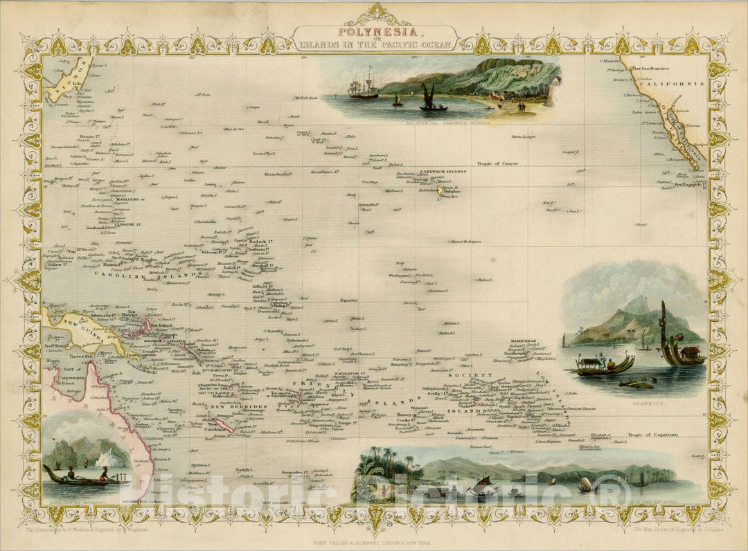
Historic Map : Polynesia, or Islands In the Pacific Ocean, 1851, John Tallis, v6, Vintage Wall Art
From:
$49.99
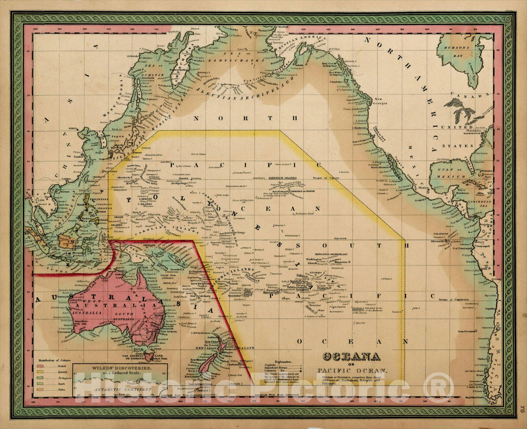
Historic Map : The Pacific Ocean Including Oceana with its several Divisions, Islands, Groups, &c., 1850, Thomas, Cowperthwait & Co., Vintage Wall Art
From:
$49.99
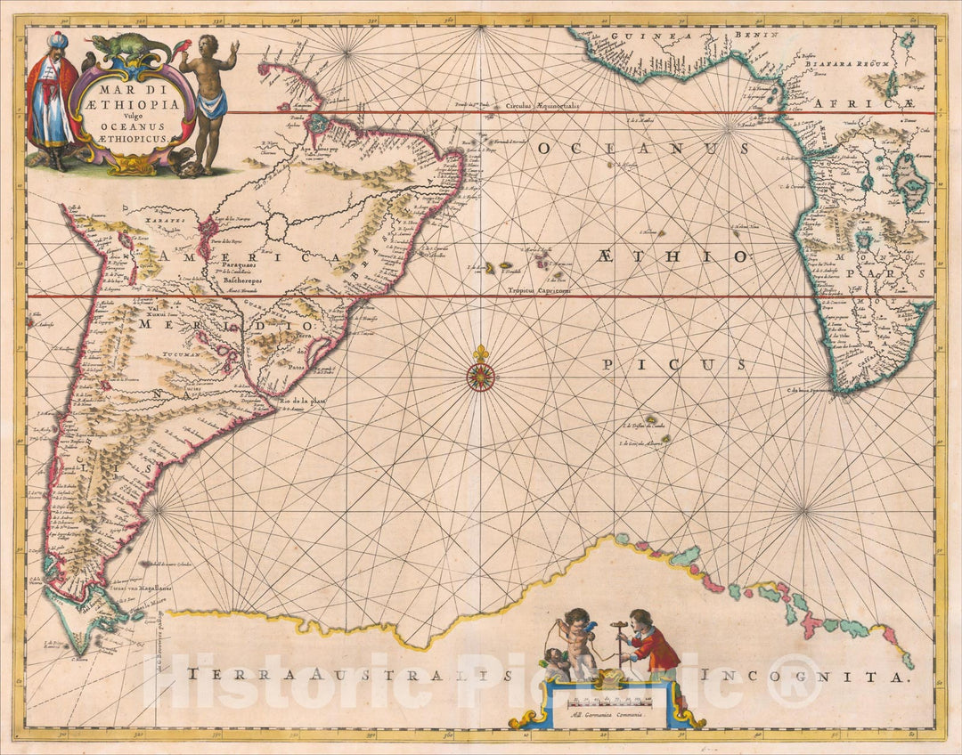
Historic Map : Mar Di Aethiopia Vulgo Oceanus Aethiopicus, 1650, Jan Jansson, Vintage Wall Art
From:
$49.99
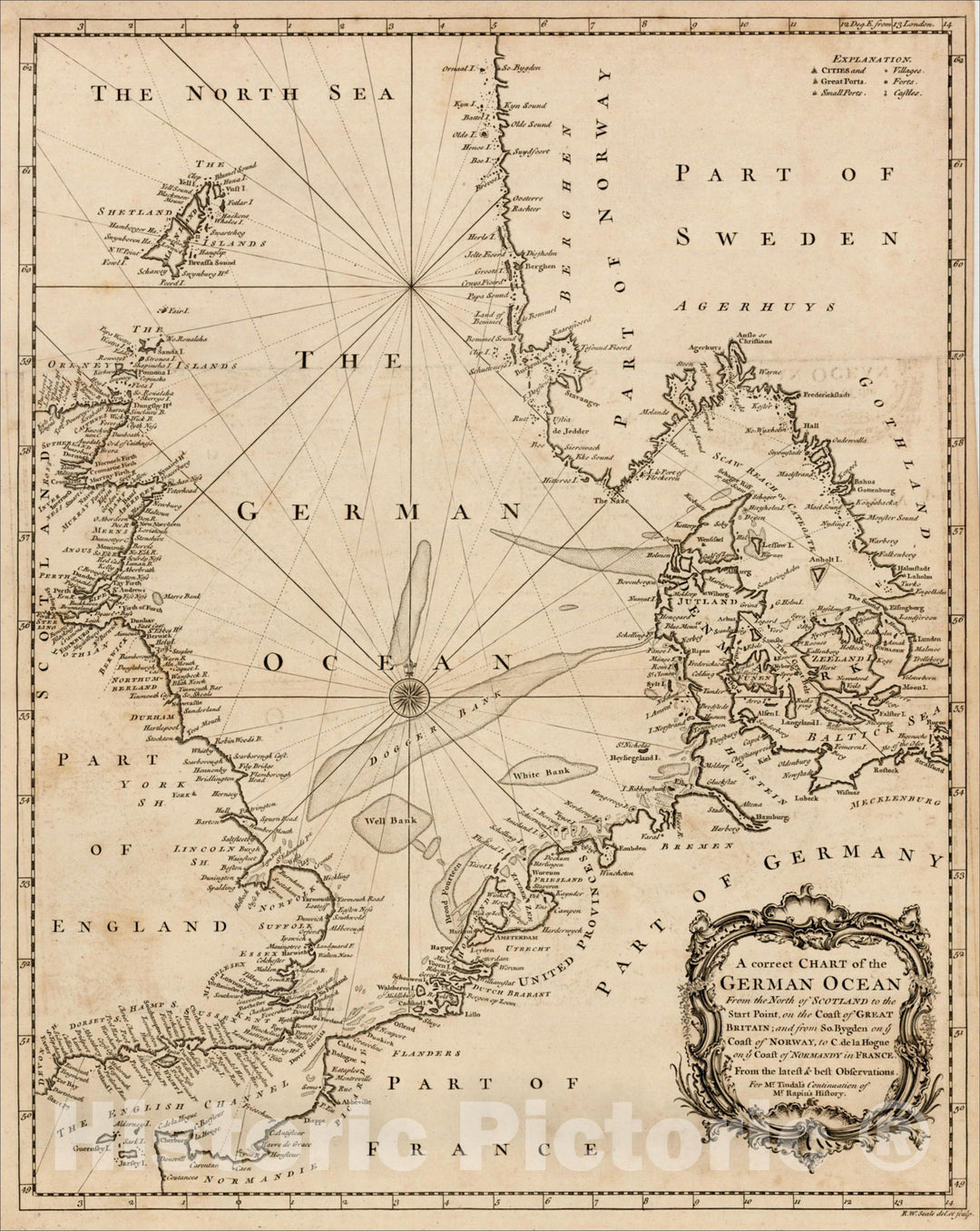
Historic Map : A correct Chart of the German Ocean From the North of Scotland to the Start Point on the Coast of Great Britain, 1746, , Vintage Wall Art
From:
$49.99
Historic Map : Pacific Ocean, By J. Arrowsmith, 1858, John Arrowsmith, Vintage Wall Art
From:
$49.99
icon-chevron-left
Previous
1
…
38
39
40
41
42
…
70
icon-chevron
Next
icon-X
"Close (esc)"
icon-chevron-left
icon-X
icon-chevron
icon-X
Ocean Wall Maps, Posters & Prints