Skip to content
icon-X
Close menu
Maps
World Maps
World War 2 Maps
Pictorial Maps
USGS TopoGraphic Maps
Art Prints
Blueprints
Fine Art Museum Collections
Claude Monet
Photographs
Modern Photos
Posters
Collections
Kid's Room
Autos, Trains & Rails
Monet and Manet
Brewery, Beer, Liquor & more
Holiday Ready to Gift Products
Log in
Follow Us
instagram
Instagram
Facebook
twitter
Twitter
Cart
icon-X
Close cart
Your cart is currently empty.
Maps
World Maps
World War 2 Maps
Pictorial Maps
USGS TopoGraphic Maps
Art Prints
Blueprints
Fine Art Museum Collections
Claude Monet
Photographs
Modern Photos
Posters
Collections
Kid's Room
Autos, Trains & Rails
Monet and Manet
Brewery, Beer, Liquor & more
Holiday Ready to Gift Products
account
Log in
icon-search
Search
icon-hamburger
Site navigation
icon-bag-minimal
Cart
Search
Search
Free economy shipping for unframed orders of $75 or more!
Filter
icon-X
Close menu
Product type
Architectural Blueprint
(1)
Geologic Map
(33)
Map
(1257)
Topographic Map
(23)
Availability
In stock
(1314)
Out of stock
(0)
Price
Ocean Maps
icon-filter
Filter
Historic Map - A New Map, or Chart in Mercators Projection, of The Western or Atlantic Ocean with Part of Europe, Africa and South America, 1763, William Herbert - Vintage Wall Art
From:
$49.99
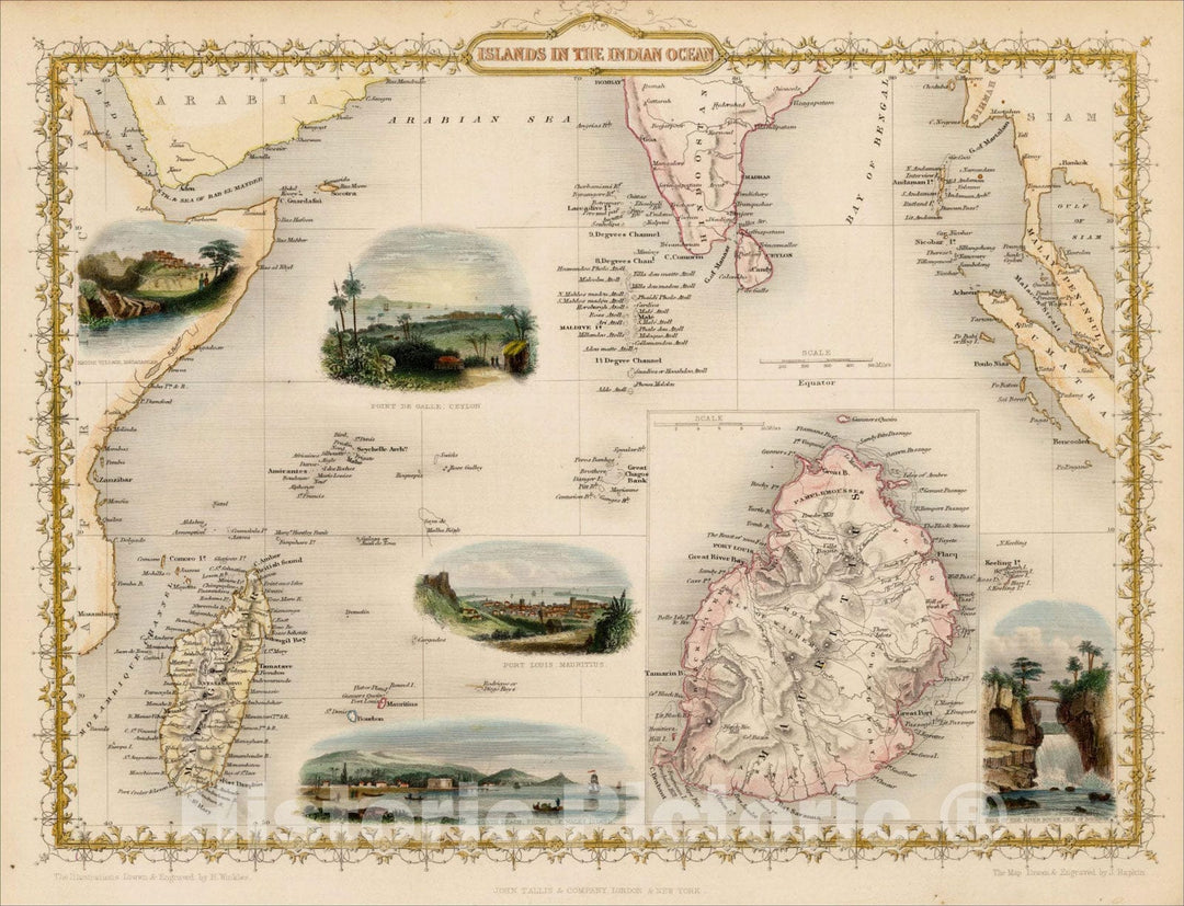
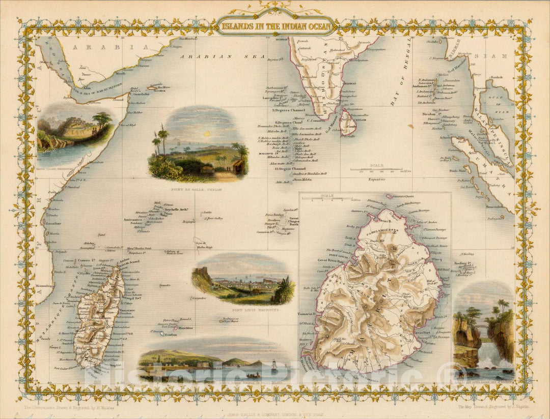
Historic Map : Islands in the Indian Ocean, 1851, John Tallis, v4, Vintage Wall Art
From:
$49.99
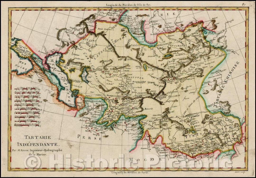
Historic Map - Tartarie Independante/Map of the Region bounded by the Ukraine and Baltic in the west and China, Korea, and the Pacific Ocean, 1787 - Vintage Wall Art
From:
$49.99
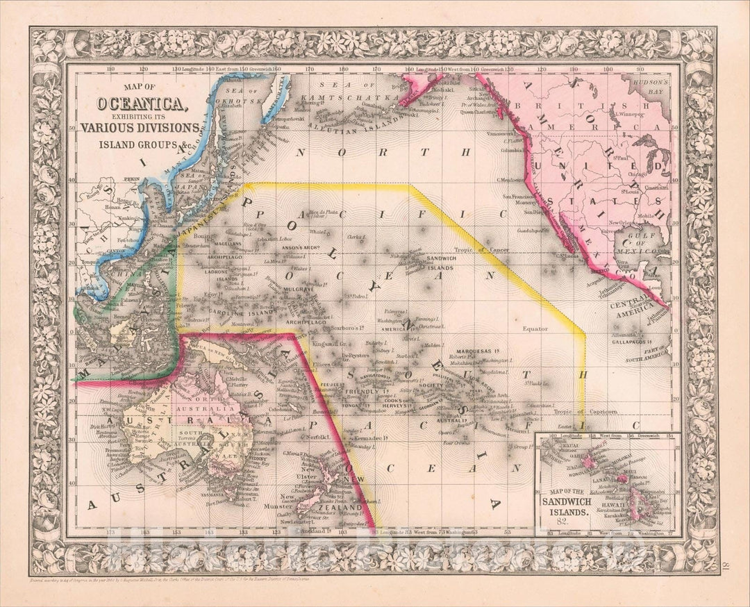
Historic Map : Map of Oceanica, Exhibiting its Various Divisions, Island Groups, andc., 1864, Samuel Augustus Mitchell Jr., Vintage Wall Art
From:
$49.99
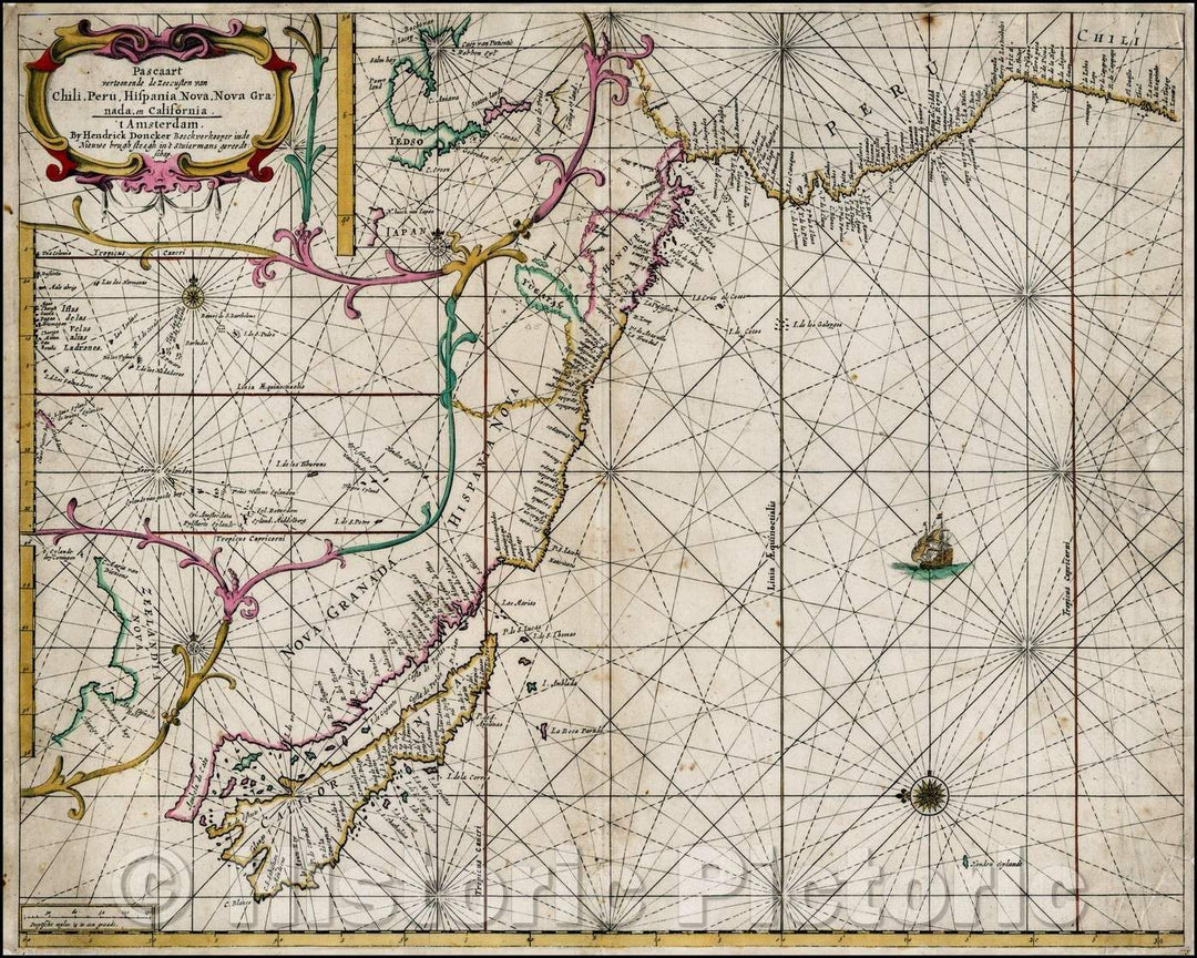
Historic Map - Pascaart vertoonende de zeecusten van Chili, Peru, Hispani/Sea Chart, West Coast of the Pacific Ocean, Island of California to Chili etc, 1660 v1
From:
$49.99
Historic Map : [ Atlantic Ocean, Triangular Trade, Negroland ], c1810, Anonymous, Vintage Wall Art
From:
$49.99
Historic Map - Pas Kaart van de Zee Kusten van Virginia Tusschen :: Customize Card Ocean Shores Virginia, 1684 - Vintage Wall Art
From:
$29.99
Historic Map : Carte Geometrique des Environs de l'Estang de Longpendu, d'ont leau Tombe dans l'Ocean et dans la Mediterranee, 1620, Gerard Mercator, v1, Vintage Wall Art
From:
$49.99
Historic Map : Islands in the Indian Ocean, 1851, John Tallis, v3, Vintage Wall Art
From:
$49.99
Historic Map : Insulae Americanae in Oceano Septentrionali, cum terris adjacentibus, 1634, Willem Janszoon Blaeu, Vintage Wall Art
From:
$49.99
Historic Map - Particular Draughts of some of the chief African Islands in the Mediterranean, as also in the Atlantic and Ethiopic Oceans [shows Malta], 1747 v1
From:
$49.99
Historic Map : Polynesia, or Islands In the Pacific Ocean, 1851, John Tallis, v3, Vintage Wall Art
From:
$49.99
Historic Map : Islands in the Indian Ocean, 1851, John Tallis, v2, Vintage Wall Art
From:
$49.99
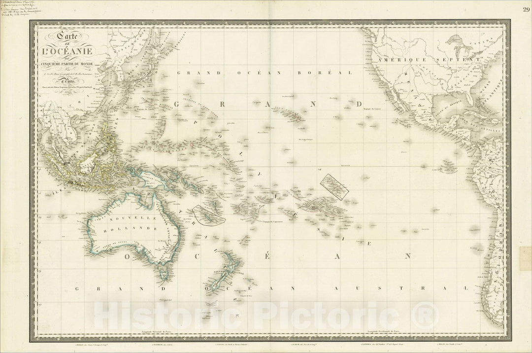
Historic Map : Carte de L'Oceanie ou Cinquieme Partie Du Monde, 1822 (with contemporary manuscript annotations), 1822, , Vintage Wall Art
From:
$49.99
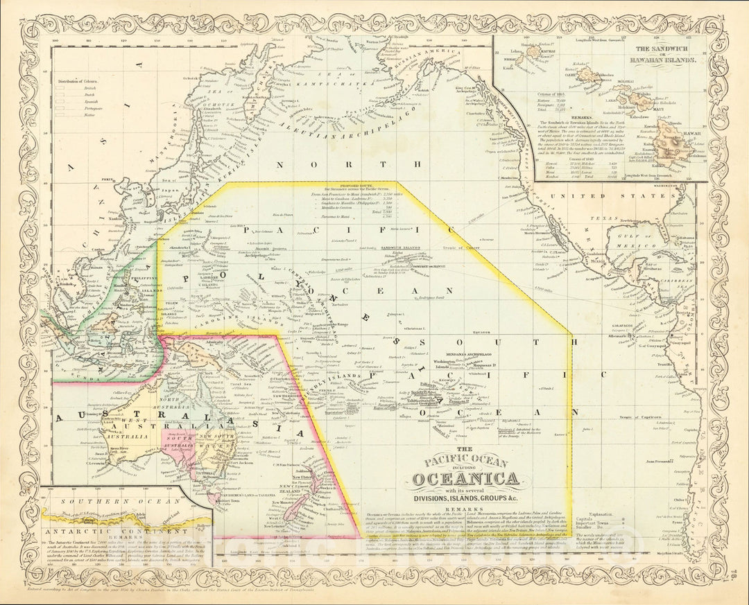
Historic Map : The Pacific Ocean Including Oceanica with its several Divisions, Groups, andc., 1857, Charles Desilver, Vintage Wall Art
From:
$49.99
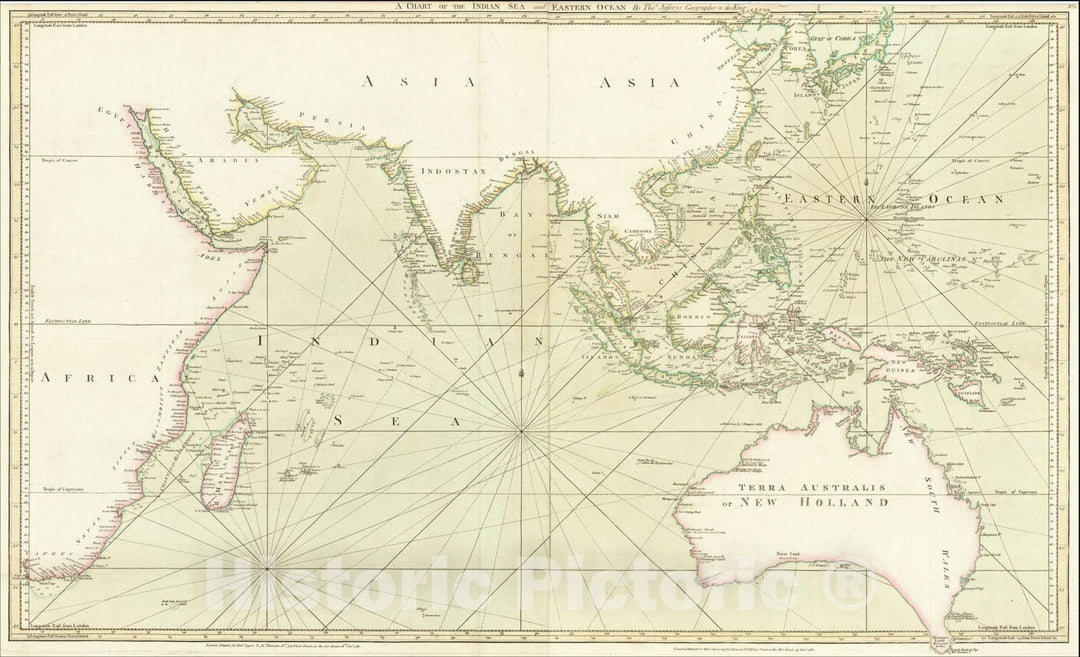
Historic Map : A Chart of the Indian Sea and Eastern Ocean By Thos. Jefferys Geographer to the King, 1780, Thomas Jefferys, Vintage Wall Art
From:
$49.99
Historic Map : Carte de l'Ocean Pacifique au Nord de l'Equateur d'Apres les dernieres Decourvertes faits par les Espagnols, 1781, Tobias Conrad Lotter, Vintage Wall Art
From:
$29.99
Historic Map : Indian Ocean (includes New Zealand and Australia), 1883, James Imray & Son, Vintage Wall Art
From:
$39.99
Historic Map : Maury's Wind and Current Chart, Indian Ocean Series A. No. 7 (Western Australia, New Guinea, Spice Islands, etc.), 1852, Matthew Fontaine Maury, Vintage Wall Art
From:
$49.99
icon-chevron-left
Previous
1
…
41
42
43
44
45
…
70
icon-chevron
Next
icon-X
"Close (esc)"
icon-chevron-left
icon-X
icon-chevron
icon-X
Ocean Wall Maps, Posters & Prints
![Historic Map : [ Atlantic Ocean, Triangular Trade, Negroland ], c1810, Anonymous, Vintage Wall Art](http://www.historicpictoric.com/cdn/shop/products/5238228_1wmrk.jpg?v=1597981968&width=1080)
![Historic Map - Particular Draughts of some of the chief African Islands in the Mediterranean, as also in the Atlantic and Ethiopic Oceans [shows Malta], 1747 v1](http://www.historicpictoric.com/cdn/shop/products/5177561_1wmrk.jpg?v=1597981214&width=1080)