icon

Free Shipping     |     Satisfaction Guaranteed

Rhode Island State Maps

Showing products 1 - 80 of 93
Sort by:

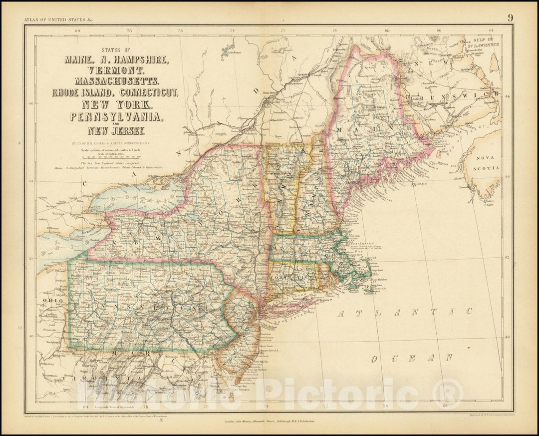
Historic Map : States of Maine, N. Hampshire, Vermont, Massachusettes, Rhode Island, Connecticut, New York, Pennsylvania, and New Jersey, 1857, Vintage Wall Art

States of Maine, N. Hampshire, Vermont, Massachusettes, Rhode Island, Connecticut, New York, Pennsylvania, and New Jersey, 1857We print high quality reproductions of historical maps, photographs, prints, etc. Because of their...
From: $49.99

Historic Map : A New Map of Part of the United States of North America, containing those of New York, Vermont, New Hampshire, Massachusetts, Connecticut, Rhode Island, 1806 , Vintage Wall Art

A New Map of Part of the United States of North America, containing those of New York, Vermont, New Hampshire, Massachusetts, Connecticut, Rhode Island, 1806
From: $34.99

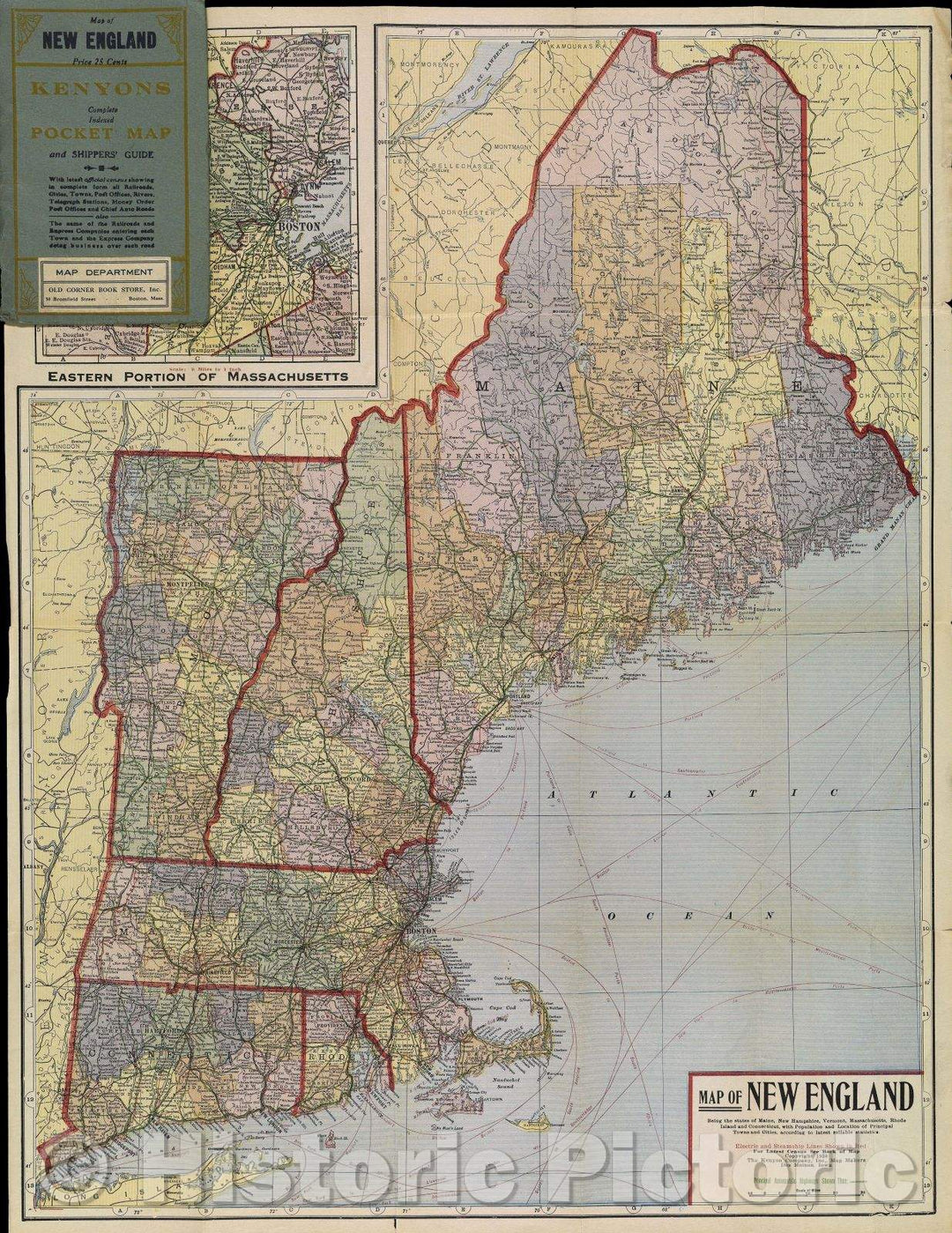
Historic Map : Map of New England Being the states of Maine, New Hampshire, Vermont, Massachusetts, Rhode Island and Connecticut with Population and Location, 1920 , Vintage Wall Art

Map of New England Being the states of Maine, New Hampshire, Vermont, Massachusetts, Rhode Island and Connecticut with Population and Location, 1920
From: $49.99

Historic Map : A New Map of Part of the United States of North America, Containing Those of New York, Vermont, New Hampshire, Massachusetts, Connecticut, Rhode Island, 1806 , Vintage Wall Art

A New Map of Part of the United States of North America, Containing Those of New York, Vermont, New Hampshire, Massachusetts, Connecticut, Rhode Island, 1806
From: $34.99

Historic Map : Map of the Northern, or, New England States of America, comprehending Vermont, New Hampshire, District of Main, Massachusetts, Rhode Island, 1795 , Vintage Wall Art

Map of the Northern, or, New England States of America, comprehending Vermont, New Hampshire, District of Main, Massachusetts, Rhode Island, 1795
From: $49.99

Historic Map : County and Township Map of the States of Massachusetts, Connecticut and Rhode Island, 1884 , Vintage Wall Art

County and Township Map of the States of Massachusetts, Connecticut and Rhode Island, 1884
From: $49.99

Historic Map : National highways map of the state of Rhode Island : showing two hundred miles of national highways proposed by the National Highways Association, 1915 , Vintage Wall Art

National highways map of the state of Rhode Island : showing two hundred miles of national highways proposed by the National Highways Association, 1915
From: $49.99

Historic Map : Railroad Maps of the United States, Connecticut & Rhode Island 1848 , Vintage Wall Art

Railroad Maps of the United States, Connecticut & Rhode Island 1848
From: $49.99

Historic Map : Atlas State of Rhode Island, Woonsocket 1870 , Vintage Wall Art

Atlas of The State of Rhode Island, Woonsocket 1870
From: $49.99

Historic Map : Atlas State of Rhode Island, Valley Falls 1870 , Vintage Wall Art

Atlas of The State of Rhode Island, Valley Falls 1870
From: $49.99

Historic Map : Atlas State of Rhode Island, South Kingstown 1870 , Vintage Wall Art

Atlas of The State of Rhode Island, South Kingstown 1870
From: $49.99

Historic Map : Atlas State of Rhode Island, Providence 1870 , Vintage Wall Art

Atlas of The State of Rhode Island, Providence 1870
From: $49.99

Historic Map : Atlas State of Rhode Island, Peacedale & Rocky Brook & Wakefield 1870 , Vintage Wall Art

Atlas of The State of Rhode Island, Peacedale & Rocky Brook & Wakefield 1870
From: $49.99

Historic Map : Atlas State of Rhode Island, North Providence 1870 , Vintage Wall Art

Atlas of The State of Rhode Island, North Providence 1870
From: $49.99

Historic Map : Atlas State of Rhode Island, North Kingstown 1870 , Vintage Wall Art

Atlas of The State of Rhode Island, North Kingstown 1870
From: $49.99

Historic Map : Atlas State of Rhode Island, Newport 1870 , Vintage Wall Art

Atlas of The State of Rhode Island, Newport 1870
From: $49.99

Historic Map : Atlas State of Rhode Island, Laureldale & Locustville & Potters Hill & Wyoming 1870 , Vintage Wall Art

Atlas of The State of Rhode Island, Laureldale & Locustville & Potters Hill & Wyoming 1870
From: $49.99

Historic Map : Atlas State of Rhode Island, Knightsville & Pawtuxet 1870 , Vintage Wall Art

Atlas of The State of Rhode Island, Knightsville & Pawtuxet 1870
From: $49.99

Historic Map : Atlas State of Rhode Island, Johnston 1870 , Vintage Wall Art

Atlas of The State of Rhode Island, Johnston 1870
From: $49.99

Historic Map : Atlas State of Rhode Island, Hopkinton 1870 , Vintage Wall Art

Atlas of The State of Rhode Island, Hopkinton 1870
From: $49.99

Historic Map : Atlas State of Rhode Island, Graniteville & Manton Village 1870 , Vintage Wall Art

Atlas of The State of Rhode Island, Graniteville & Manton Village 1870
From: $49.99

Historic Map : Atlas State of Rhode Island, Graniteville & Harrisville & Pascoag 1870 , Vintage Wall Art

Atlas of The State of Rhode Island, Graniteville & Harrisville & Pascoag 1870
From: $49.99

Historic Map : Atlas State of Rhode Island, Georgiaville & Greenville & Smithfield 1870 , Vintage Wall Art

Atlas of The State of Rhode Island, Georgiaville & Greenville & Smithfield 1870
From: $49.99

Historic Map : Atlas State of Rhode Island, Foster 1870 , Vintage Wall Art

Atlas of The State of Rhode Island, Foster 1870
From: $49.99

Historic Map : Atlas State of Rhode Island, Fiskville & Scituate 1870 , Vintage Wall Art

Atlas of The State of Rhode Island, Fiskville & Scituate 1870
From: $49.99

Historic Map : Atlas State of Rhode Island, Exeter & Shannon Mills 1870 , Vintage Wall Art

Atlas of The State of Rhode Island, Exeter & Shannon Mills 1870
From: $49.99

Historic Map : Atlas State of Rhode Island, East Providence 1870 , Vintage Wall Art

Atlas of The State of Rhode Island, East Providence 1870
From: $49.99

Historic Map : Atlas State of Rhode Island, Cumberland & Lonsdale 1870 , Vintage Wall Art

Atlas of The State of Rhode Island, Cumberland & Lonsdale 1870
From: $49.99

Historic Map : Atlas State of Rhode Island, Coventry & West Greenwich 1870 , Vintage Wall Art

Atlas of The State of Rhode Island, Coventry & West Greenwich 1870
From: $49.99

Historic Map : Atlas State of Rhode Island, Clayville & Rockland & Warwick 1870 , Vintage Wall Art

Atlas of The State of Rhode Island, Clayville & Rockland & Warwick 1870
From: $49.99

Historic Map : Atlas State of Rhode Island, Chepachet & Harmony & Mapleville 1870 , Vintage Wall Art

Atlas of The State of Rhode Island, Chepachet & Harmony & Mapleville 1870
From: $49.99

Historic Map : Atlas State of Rhode Island, Charlestown 1870 , Vintage Wall Art

Atlas of The State of Rhode Island, Charlestown 1870
From: $49.99

Historic Map : Atlas State of Rhode Island, Central Falls & Pawtucket 1870 , Vintage Wall Art

Atlas of The State of Rhode Island, Central Falls & Pawtucket 1870
From: $34.99

Historic Map : Atlas State of Rhode Island, Bristol 1870 , Vintage Wall Art

Atlas of The State of Rhode Island, Bristol 1870
From: $49.99

Historic Map : Atlas State of Rhode Island, Anthony & Coventry & East Greenwich & Quidneck 1870 , Vintage Wall Art

Atlas of The State of Rhode Island, Anthony & Coventry & East Greenwich & Quidneck 1870
From: $49.99

Historic Map : Atlas State of Rhode Island, Rhode Island 1870 , Vintage Wall Art

Atlas of The State of Rhode Island, Rhode Island 1870
From: $49.99

Historic Map : Railroad Maps of the United States, Connecticut & Massachusetts & Rhode Island 1848 , Vintage Wall Art

Railroad Maps of the United States, Connecticut & Massachusetts & Rhode Island 1848
From: $49.99

Historic Map : Atlas State of Rhode Island, Adamsville & Little Compton & Middletown 1870 , Vintage Wall Art

Atlas of The State of Rhode Island, Adamsville & Little Compton & Middletown 1870
From: $49.99

Historic Map : Atlas State of Rhode Island, Glocester 1870 , Vintage Wall Art

Atlas of The State of Rhode Island, Glocester 1870
From: $49.99

Historic 1875 Map - Indexed map of Rhode Island Showing The Railroads in The State, and The Express Company Doing Business Over Each, Also Counties, townships, Lakes, Rivers, Islands, etc.

Indexed map of Rhode Island showing the railroads in the State, and the express company doing business over each, also counties, townships, lakes, rivers, islands, etc.We print high quality reproductions...
From: $49.99

Historic 1849 Map - A map of The New England States, Maine, New Hampshire, Vermont, Massachusetts, Rhode Island & Connecticut with The Adjacent Parts of New York & Lower Canada

A map of the New England states, Maine, New Hampshire, Vermont, Massachusetts, Rhode Island & Connecticut with the adjacent parts of New York & Lower Canada; compiled and published by...
From: $49.99

Historic 1971 Map - States of Massachusetts, Rhode Island, and Connecticut : Base map

States of Massachusetts, Rhode Island, and Connecticut : base mapWe print high quality reproductions of historical maps, photographs, prints, etc. Because of their historical nature, some of these images may...
From: $49.99

Historic 1846 Map - Sketch of The States of Massachusetts, Connecticut, and Rhode Island, and Parts of New Hampshire & New York exhibiting The Several Rail Road Routes Completed

Sketch of the states of Massachusetts, Connecticut, and Rhode Island, and parts of New Hampshire & New York exhibiting the several rail road routes completed, constructing, chartered & contemplated; published...
From: $34.99

Historic Map : 1870 Atlas of the State of Rhode Island. : Vintage Wall Art

Vintage Map | 1870 Atlas of the State of Rhode Island. | Beers, D.G.
From: $49.99

Historic Map : 1860 County Map of the State of New York, New Hampshire, Vermont, Massachusetts, Rhode Island, and Connecticut : Vintage Wall Art

Vintage Map | 1860 County Map of the State of New York, New Hampshire, Vermont, Massachusetts, Rhode Island, and Connecticut | Williams, W.
From: $49.99

Historic Map : 1861 County Map of the States of New York, New Hampshire, Vermont, Massachusetts, Rhode Island and Connecticut : Vintage Wall Art

Vintage Map | 1861 County Map of the States of New York, New Hampshire, Vermont, Massachusetts, Rhode Island and Connecticut | Mitchell, S. Augustus, Jr.
From: $49.99

Historic Map : 1855 Map No.2, United States (Massachusetts, Connecticut and Rhode Island) : Vintage Wall Art

Vintage Map | 1855 Map No.2, United States (Massachusetts, Connecticut and Rhode Island) | Smith, Roswell C.
From: $49.99

Historic Map - Part of the United States of North America Containing New York, Vermont, New Hampshire, Massachusets, Connecticut, Rhode Island, Pennsylv, 1806 v2

Part of the United States of North America Containing New York, Vermont, New Hampshire, Massachusets, Connecticut, Rhode Island, Pennsylv, 1806
From: $34.99