Skip to content
icon-X
Close menu
Maps
World Maps
World War 2 Maps
Pictorial Maps
USGS TopoGraphic Maps
Art Prints
Blueprints
Fine Art Museum Collections
Claude Monet
Photographs
Modern Photos
Posters
Collections
Kid's Room
Autos, Trains & Rails
Monet and Manet
Brewery, Beer, Liquor & more
Holiday Ready to Gift Products
Log in
Follow Us
instagram
Instagram
Facebook
twitter
Twitter
Maps
World Maps
World War 2 Maps
Pictorial Maps
USGS TopoGraphic Maps
Art Prints
Blueprints
Fine Art Museum Collections
Claude Monet
Photographs
Modern Photos
Posters
Collections
Kid's Room
Autos, Trains & Rails
Monet and Manet
Brewery, Beer, Liquor & more
Holiday Ready to Gift Products
account
Log in
icon-search
Search
icon-hamburger
Site navigation
icon-bag-minimal
Cart
Search
Search
Free economy shipping for unframed orders of $75 or more!
Filter
icon-X
Close menu
Product type
Architectural Blueprint
(1)
Color Photo
(1)
Geologic Map
(216)
Map
(4194)
Availability
In stock
(4414)
Out of stock
(1)
Price
United States Maps
icon-filter
Filter
Historic Map - Wall Map, United States - Geology: Physiographic & Structural Provinces 1983 - Vintage Wall Art
From:
$49.99
Historic Map : Dixon's Mickey Mouse Map of the United States, Vintage Wall Art
From:
$49.99
Map : United States, western 1806 1945, The trail of Lewis and Clark 1804-1806 , Antique Vintage Reproduction
From:
$39.99
Historic Map : United States Maps, Nevada 1894 , Vintage Wall Art
From:
$49.99
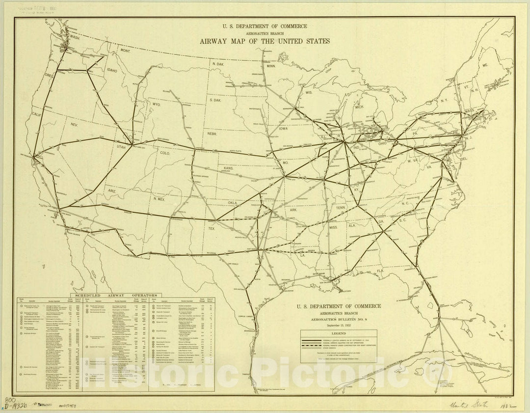
Map : United States 1932, Airway map of the United States , Antique Vintage Reproduction
From:
$49.99
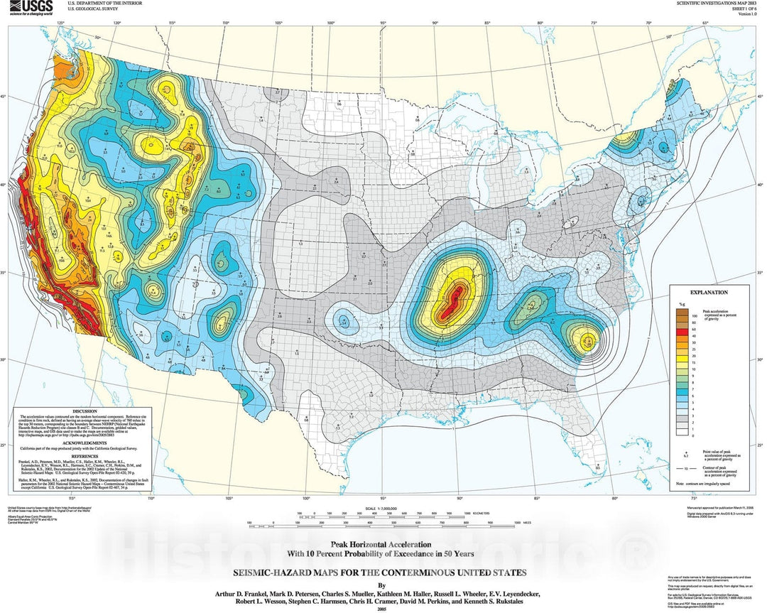
Map : Seismic-hazard maps for the conterminous United States, 2005 Cartography Wall Art :
From:
$49.99
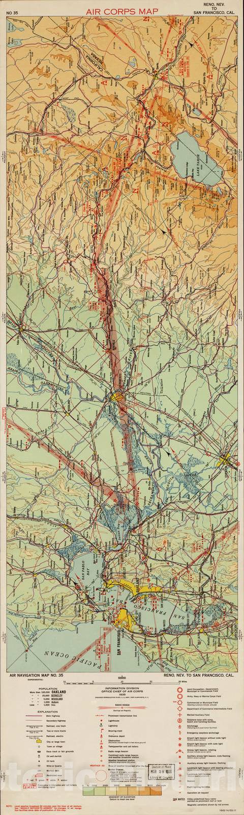
Historic 1924 Map - Aeronautical Strip maps of The United States. - No. 35, 1935 - Air Corps map
From:
$34.99
Historic 1970 Map - The National Atlas of The United States of America. - Forest Types
From:
$49.99
Historic Map : 1865 Johnson's United States : Vintage Wall Art
From:
$49.99
Historic Map : 1864 Colton's United States of America : Vintage Wall Art
From:
$49.99
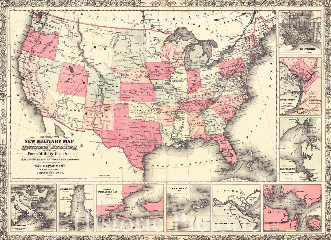
Historic Map : 1862 Johnson's New Military Map of the United States : Vintage Wall Art
From:
$49.99
Historic Map - Our Country As Traitors & Tyrants Would Have It. or Map of the Disunited States, 1864, H.H. Lloyd - Vintage Wall Art
From:
$49.99
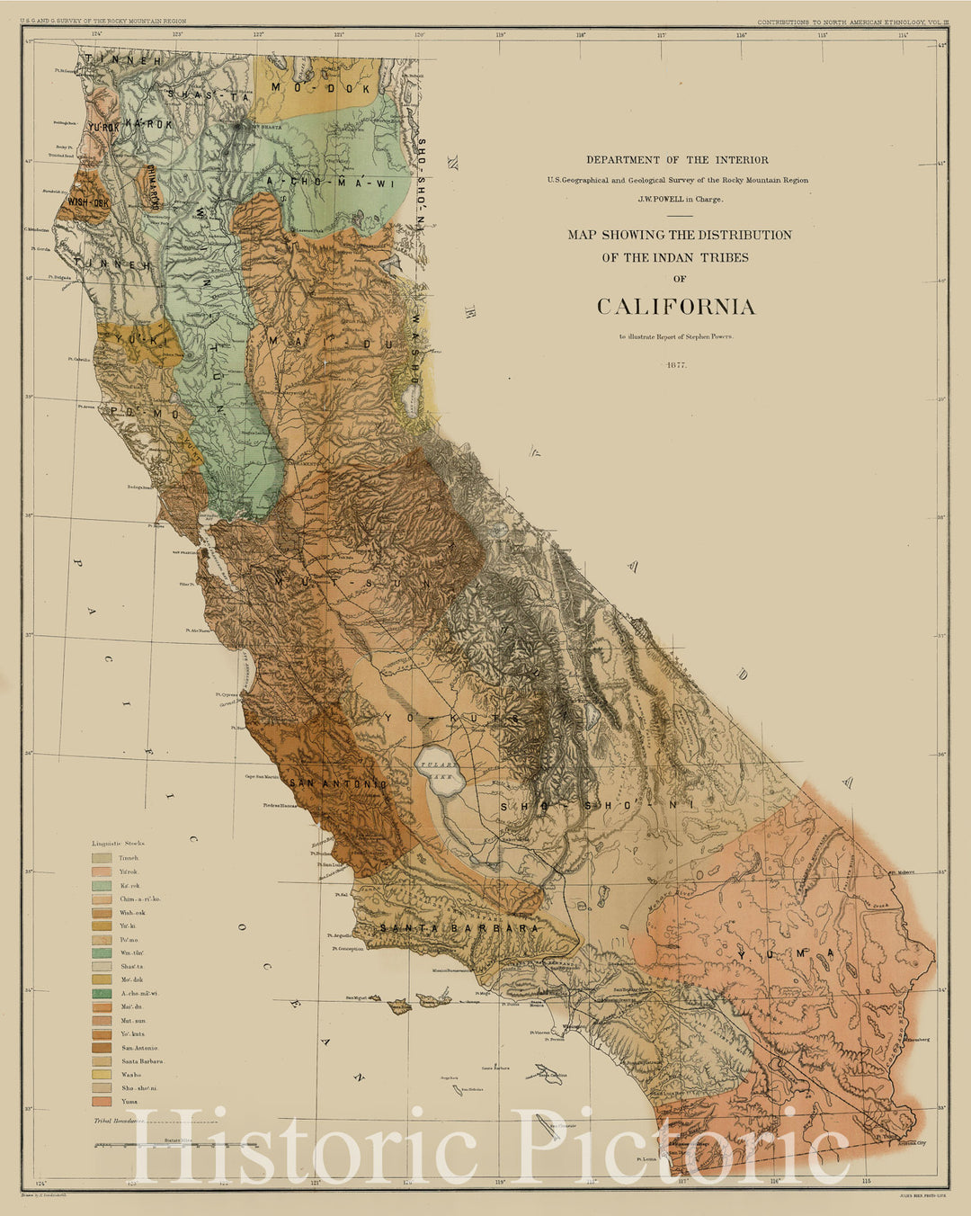
Historic Map : Map Showing The Distribution of the Indian Tribes of California, 1877, 1877, United States Department of the Interior, Vintage Wall Art
From:
$49.99
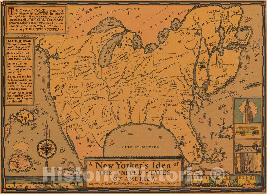
Historic Map : A New Yorker's Idea of the United States of America, 1939, Daniel K. Wallingford, Vintage Wall Art
From:
$49.99
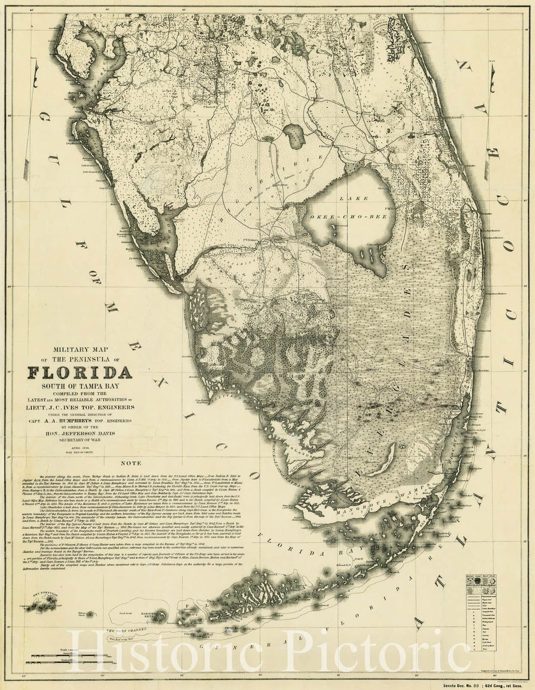
Historic Map : Military Map of The Peninsula of Florida South of Tampa Bay . . .1856, 1856, United States War Dept., Vintage Wall Art
From:
$49.99
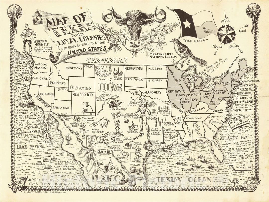
Historic Map : Map of Texas and Loyal Colonies Sometimes Referred To As The United States, c1951, Jones, Vintage Wall Art
From:
$49.99
Historic Map : Radio Map of the Columbia Broadcasting System - CBS Stations in the United States and Canada., 1935, Vintage Wall Art
From:
$49.99
Historic Map - Pictorial wildlife and game map of the United States, 1956, - Vintage Wall Art
From:
$49.99
Historic Map - America The Wonderland - A Pictorial Map of The United States, 1941, Ernest Dudley Chase - Vintage Wall Art
From:
$49.99
1
2
3
…
233
icon-chevron
Next
icon-X
"Close (esc)"
icon-chevron-left
icon-X
icon-chevron
icon-X
United States Wall Maps, Posters & Prints