Skip to content
icon-X
Close menu
Maps
World Maps
World War 2 Maps
Pictorial Maps
USGS TopoGraphic Maps
Art Prints
Blueprints
Fine Art Museum Collections
Claude Monet
Photographs
Modern Photos
Posters
Collections
Kid's Room
Autos, Trains & Rails
Monet and Manet
Brewery, Beer, Liquor & more
Holiday Ready to Gift Products
Log in
Follow Us
instagram
Instagram
Facebook
twitter
Twitter
Maps
World Maps
World War 2 Maps
Pictorial Maps
USGS TopoGraphic Maps
Art Prints
Blueprints
Fine Art Museum Collections
Claude Monet
Photographs
Modern Photos
Posters
Collections
Kid's Room
Autos, Trains & Rails
Monet and Manet
Brewery, Beer, Liquor & more
Holiday Ready to Gift Products
account
Log in
icon-search
Search
icon-hamburger
Site navigation
icon-bag-minimal
Cart
Search
Search
Free economy shipping for unframed orders of $75 or more!
Filter
icon-X
Close menu
Product type
Architectural Blueprint
(1)
Color Photo
(1)
Geologic Map
(216)
Map
(4194)
Availability
In stock
(4414)
Out of stock
(1)
Price
United States Maps
icon-filter
Filter
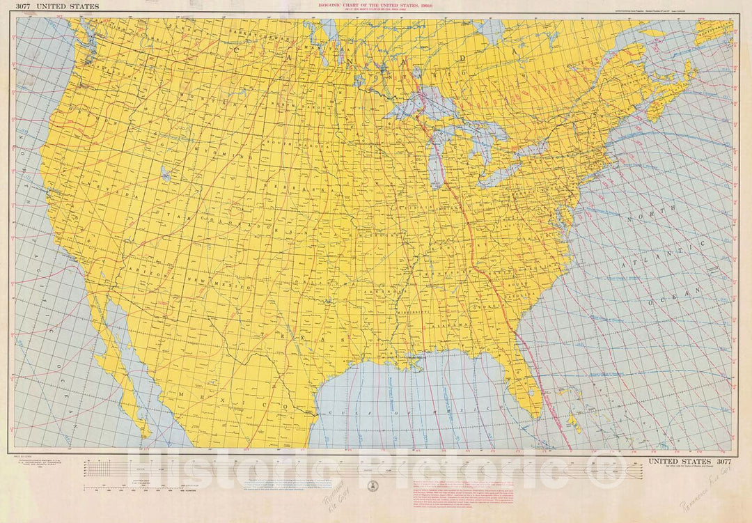
Historic Nautical Map - Isogonic Chart Of The United States, 1960 NOAA Magnetic Historic Nautical Map - California, Washington, Florida (CA, WA, FL) - Vintage Wall Art
From:
$49.99
Historic Nautical Map - Great Circle Chart United States, 1941 NOAA Chart - Maine, California, Washington, Florida (ME, CA, WA, FL) - Vintage Wall Art
From:
$49.99
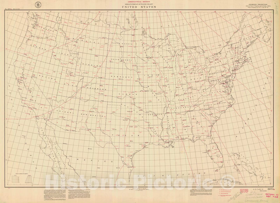
Historic Nautical Map - Great Circle Outline Chart United States, 1941 NOAA Chart - Maine, California, Washington, Florida (ME, CA, WA, FL) - Vintage Wall Art
From:
$49.99
Historic Nautical Map - Map Of The United States Pt. 2, 1954 AeroNOAA Chart - West Virginia, New York, Pennsylvania, Maryland (WV, NY, PA, MD) - Vintage Wall Art
From:
$49.99
Historic Nautical Map - Map Of The United States, 1954 NOAA Base Historic Nautical Map - Washington, South Dakota, Wyoming (WA, SD, WY) - Vintage Wall Art
From:
$49.99
Historic Nautical Map - United States, 1956 NOAA Base Historic Nautical Map - Utah, Nevada, Texas, North Dakota (UT, NV, TX, ND) - Vintage Wall Art
From:
$49.99
Historic Nautical Map - United States, 1956 NOAA Base Historic Nautical Map - Louisiana, Kentucky, Georgia, Wisconsin (LA, KY, GA, WI) - Vintage Wall Art
From:
$49.99
Historic Nautical Map - Outline Chart Of The United States, 1946 AeroNOAA Chart - Minnesota, Michigan, New York, Florida (MN, MI, NY, FL) - Vintage Wall Art
From:
$49.99
Historic Nautical Map - U.S S Ignal Corps Telegraph And Cable System Of Alaska And U.S. Cables And Canadian Line Connecting With The United States, 1904 AK - Vintage Wall Art
From:
$49.99
Historic Nautical Map - No 3 Of The Sea Coast Of The United States From Cape Small Point Maine To Cape Cod Mass, 1868 NOAA Chart - Vintage Wall Art
From:
$49.99
Historic Nautical Map - South Central United States, 1947 NOAA Chart - Vintage Wall Art
From:
$49.99
Historic Nautical Map - The United States Of America, 1951 NOAA Chart - Vintage Wall Art
From:
$49.99
Historic Nautical Map - Northwestern United States And Neighboring Canadian Provinces, 1950 NOAA Chart - Vintage Wall Art
From:
$49.99
Historic Nautical Map - Gulf Coast Of The United States Key West To Rio Grande, 1863 NOAA Chart - Vintage Wall Art
From:
$49.99
Historic Nautical Map - Lines Of Magnetic Vertical Intensity And Of Equal Annual Change In The United States For 1925, 1925 NOAA Magnetic - Vintage Wall Art
From:
$49.99
Historic Nautical Map - Lines Of Equal Magnetic Vertical Intensity And Of Equal Annual Change In The United States For 1925, 1925 NOAA Magnetic - Vintage Wall Art
From:
$49.99
Historic Nautical Map - Southeastern United States, 1947 NOAA National Geographic - Vintage Wall Art
From:
$49.99
Historic Nautical Map - Western Coast Of The United States, 1853 NOAA Chart - Vintage Wall Art
From:
$34.99
Historic Nautical Map - United States Air Navigational Requirements For 1965, 1965 AeroNOAA Chart - Vintage Wall Art
From:
$49.99
icon-chevron-left
Previous
1
…
15
16
17
18
19
…
233
icon-chevron
Next
icon-X
"Close (esc)"
icon-chevron-left
icon-X
icon-chevron
icon-X
United States Wall Maps, Posters & Prints