Skip to content
icon-X
Close menu
Maps
World Maps
World War 2 Maps
Pictorial Maps
USGS TopoGraphic Maps
Art Prints
Blueprints
Fine Art Museum Collections
Claude Monet
Photographs
Modern Photos
Posters
Collections
Kid's Room
Autos, Trains & Rails
Monet and Manet
Brewery, Beer, Liquor & more
Holiday Ready to Gift Products
Log in
Follow Us
instagram
Instagram
Facebook
twitter
Twitter
Cart
icon-X
Close cart
Your cart is currently empty.
Maps
World Maps
World War 2 Maps
Pictorial Maps
USGS TopoGraphic Maps
Art Prints
Blueprints
Fine Art Museum Collections
Claude Monet
Photographs
Modern Photos
Posters
Collections
Kid's Room
Autos, Trains & Rails
Monet and Manet
Brewery, Beer, Liquor & more
Holiday Ready to Gift Products
account
Log in
icon-search
Search
icon-hamburger
Site navigation
icon-bag-minimal
Cart
Search
Search
Free economy shipping for unframed orders of $75 or more!
Filter
icon-X
Close menu
Vintage Maps
icon-filter
Filter
Historic Map : Infographic Chart or HistoMap of Evolution, John Sparks, 1942, Vintage Wall Art
From:
$29.99
Historic Map : Vicinity of Saigon, South Vietnam During The Vietnam War, Braunsdorf, 1968, Vintage Wall Art
From:
$49.99
Historic Map : The Galapagos Islands, Bowen and Cowley, 1744, Vintage Wall Art
From:
$49.99
Historic Map : Plan of Prospect Park, Brooklyn, New York, Vaux and Olmsted, 1869, Vintage Wall Art
From:
$49.99
Historic Map : Swift Map of Martha's Vineyard Island, Massachusetts, 1937, Vintage Wall Art
From:
$49.99
Historic Map : Railway Map of the Island of Sodor. Where Thomas The Tank Engine and His Friends Have Their Adventures, c1950, PR Wickham, Vintage Wall Art
From:
$39.99
Historic Map : Fishing Map Mammoth Lakes Region, ., 1930, Vintage Wall Art
From:
$49.99
Historic Map : Paris a Vol D'Oiseau - Centre, 1959, Vintage Wall Art
From:
$49.99
Historic Map : Key West Florida, Vintage Wall Art
From:
$49.99
Historic Map : Bangor and Aroostook Railroad, c. 1921 , Vintage Wall Art
From:
$49.99
Historic Map : Sebec Lake Maine, 1940 , Vintage Wall Art
From:
$34.99
Historic Map : Battle of Normandy, June-August 1944, 1947 , Vintage Wall Art
From:
$49.99
Historic Map : City Atlas of Boston, Massachusetts, Jamaica Plain & Roxbury 1882 Plate 020 , Vintage Wall Art
From:
$49.99
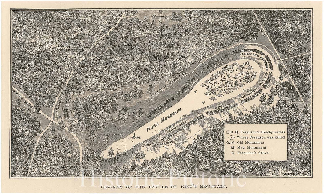
Historic Map - Diagram Of The Battle Of King'S Mountain. - South Carolina - Vintage Wall Art
From:
$49.99
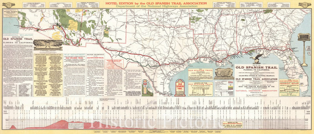
Historic Map : 1923 Map of the Old Spanish Trail, Florida to California : Vintage Wall Art
From:
$29.99
Historic Map : 1943 Vegetation Map of Southern Florida : Vintage Wall Art
From:
$49.99
Art Print : Winsor McCay, Dream of The Rarebit Fiend: Bucking Automobile, 1907 - Vintage Wall Art
From:
$24.99
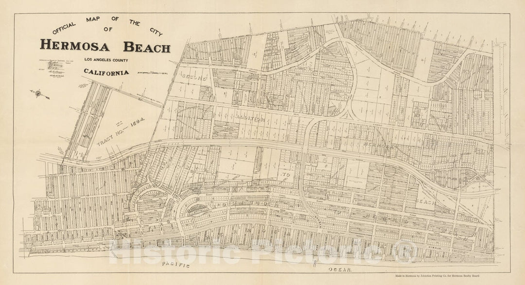
Historic Map - Official Map of the City of Hermosa Beach Los Angeles County California, 1922, Hermosa Realty Board - Vintage Wall Art
From:
$39.99
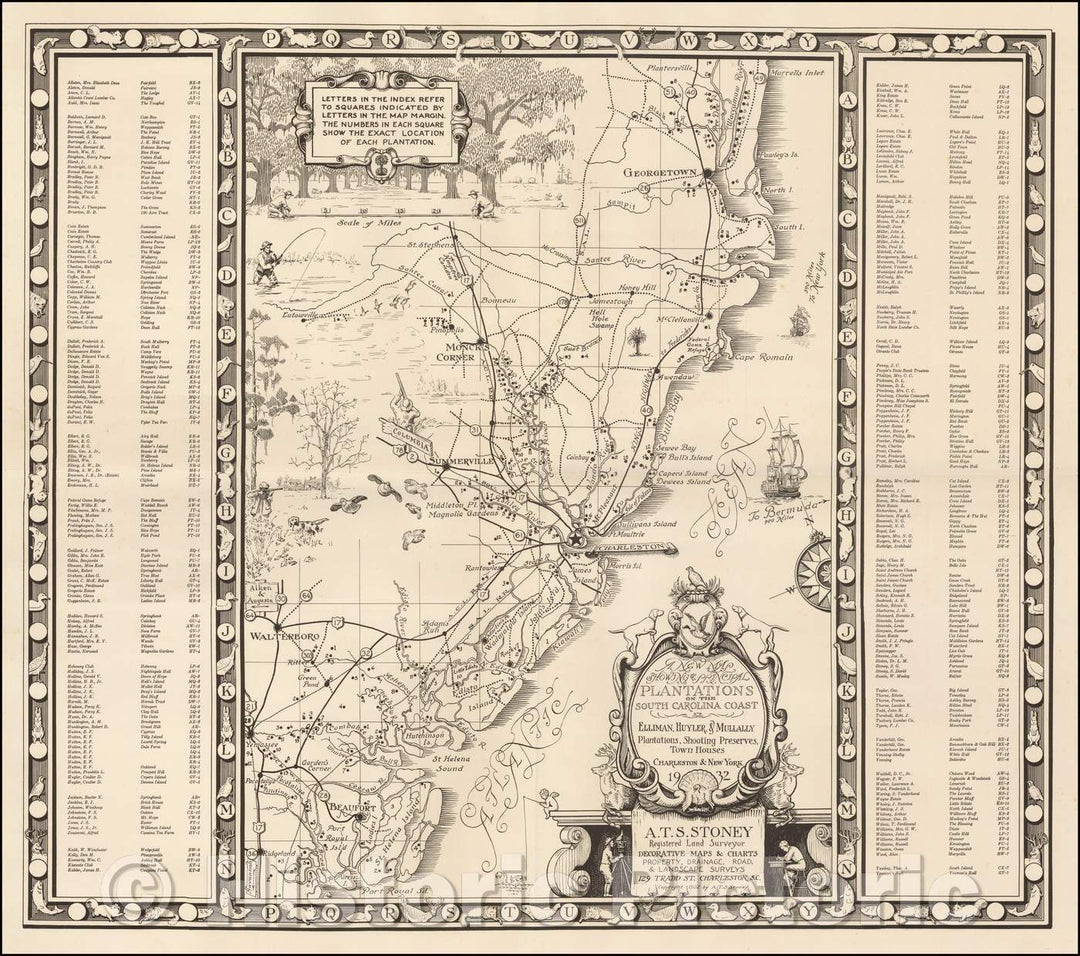
Historic Map - The Principal Plantations on the South Carolina Coast - Elliman, Huyler & Mullally Plantations, Shooting Preserves, Town Houses, 1932 - Vintage Wall Art
From:
$29.99
icon-chevron-left
Previous
1
…
3
4
5
6
7
…
9756
icon-chevron
Next
icon-X
"Close (esc)"
icon-chevron-left
icon-X
icon-chevron
icon-X
Vintage Maps