


A beautiful 1855 first edition example of Colton's map of North Carolina. Covers the entire state as well as adjacent parts of South Carolina and Virginia. Map is hand colored in pink, green, yellow and blue pastels to identify counties. Identifies tow
Wow Factor
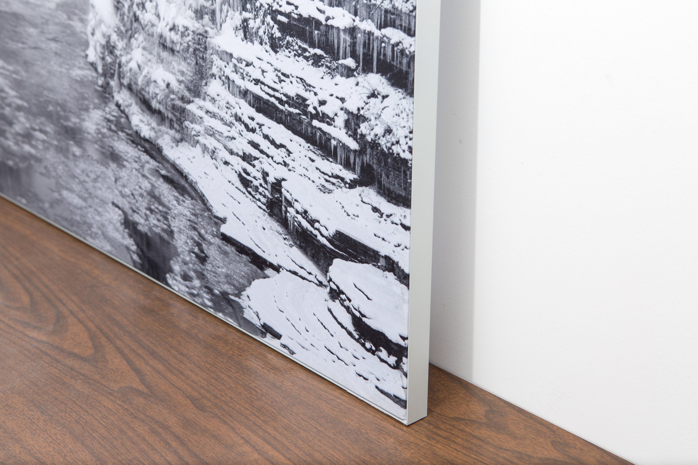
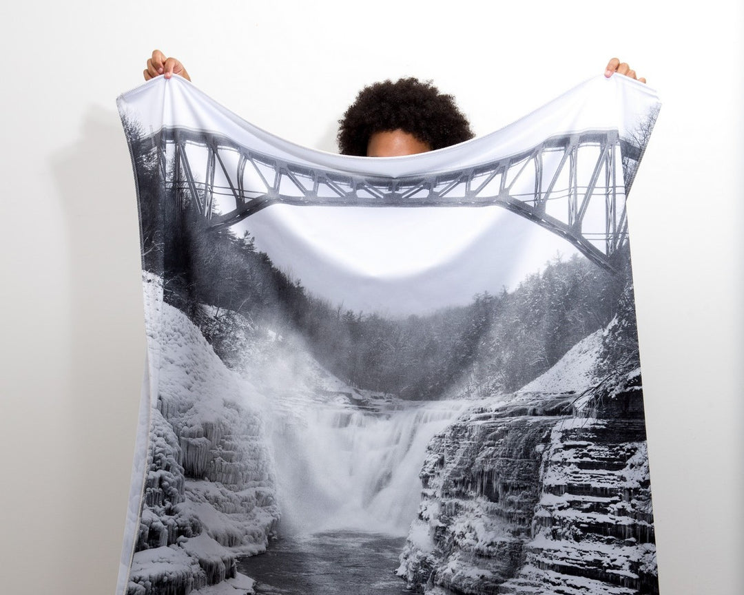
The image is printed on a durable fabric, which is stretched inside a slim aluminum frame. It’s transportable, interchangeable, and easy to assemble. Our infinity frame pieces for large sized prints will lend a “wow” factor to your space.
The colors in our fabric prints are crisp and true to life, with a matte, glare-free finish. With our printing process, the colors permeate the fabric, rather than settling on top, which reduces the risk of scratching or fading. Your art will last a long time!

Assemble the frame in minutes, insert the fabric print into the grooves, and your art is ready to hang!

Easy and modern way to display large art in your home or office
