


This is an appealing c.1950 map or plan of Washington D. C. by Friendly Service Inc., a national chain of travel information bureaus. It covers Washington D. C. from O Street north as far as what is now the Smithsonian National Zoological Park and from the Francis Scott Key Memorial Bridge and Arlington Cemetery east to Lincoln Park. Notes individual streets, bridges and rivers. A note in the bottom left quadrant explains the division of Washington into its four sections - N.W., S.W., S.E. and N.E. An advertisement for Friendly Service is featured in the top right quadrant. Verso includes a list of buildings and points of interest in and around Washington D.C., and information about the Endless Caverns in New Market, Virginia. This map was issued for free distribution by the Friendly Service, Inc., ‘America's clearing house of information'.
Wow Factor
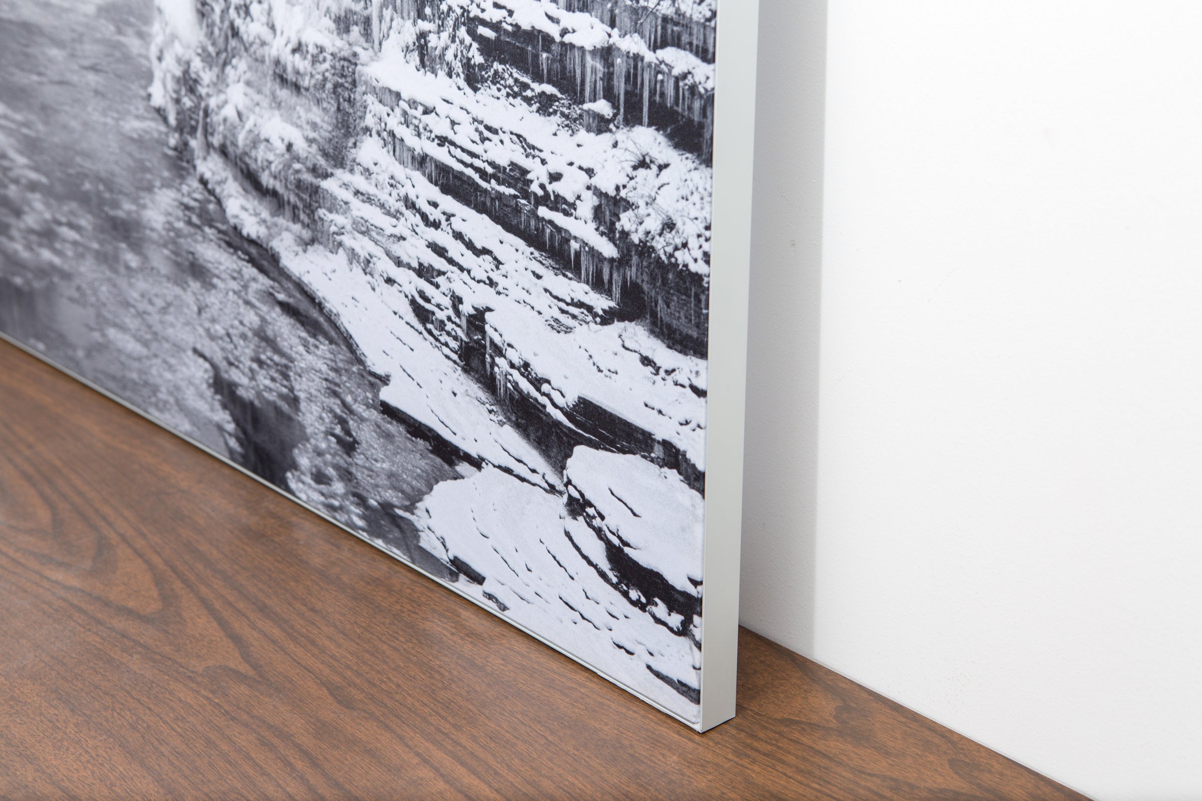
The image is printed on a durable fabric, which is stretched inside a slim aluminum frame. It’s transportable, interchangeable, and easy to assemble. Our infinity frame pieces for large sized prints will lend a “wow” factor to your space.

The colors in our fabric prints are crisp and true to life, with a matte, glare-free finish. With our printing process, the colors permeate the fabric, rather than settling on top, which reduces the risk of scratching or fading. Your art will last a long time!
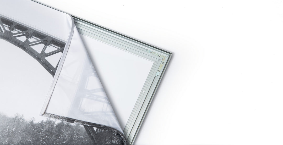
Assemble the frame in minutes, insert the fabric print into the grooves, and your art is ready to hang!

Easy and modern way to display large art in your home or office
