-
-


-
Wall Color
in
Uncheck to hide the white line Check to show the white line -
-
.


Frame
Room
Gallery
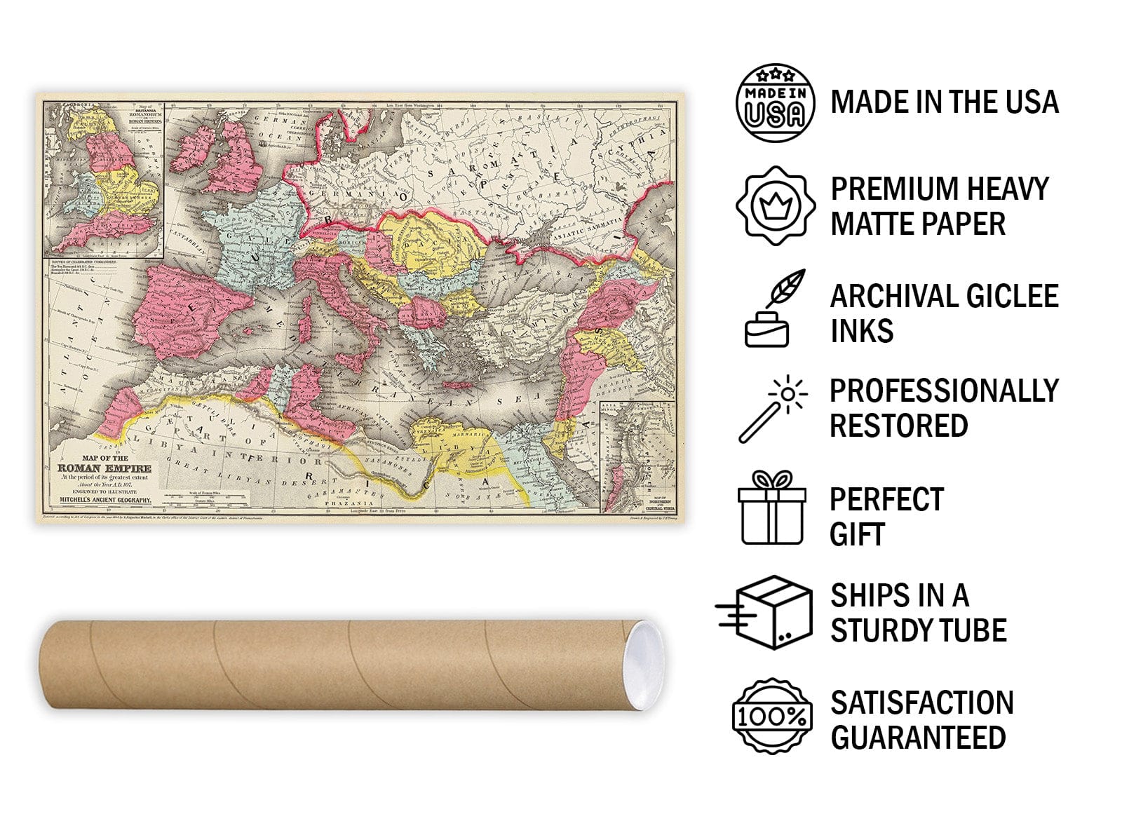
Historic Map - Map of the Roman Empire at the period of its greatest extent about the year A.D. 107, 1875 Classical Atlas - Vintage Wall Art
Historic Map - Map of the Roman Empire at the period of its greatest extent about the year A.D. 107, 1875 Classical Atlas - Vintage Wall Art
Note: Sold out or unavailable
Couldn't load pickup availability
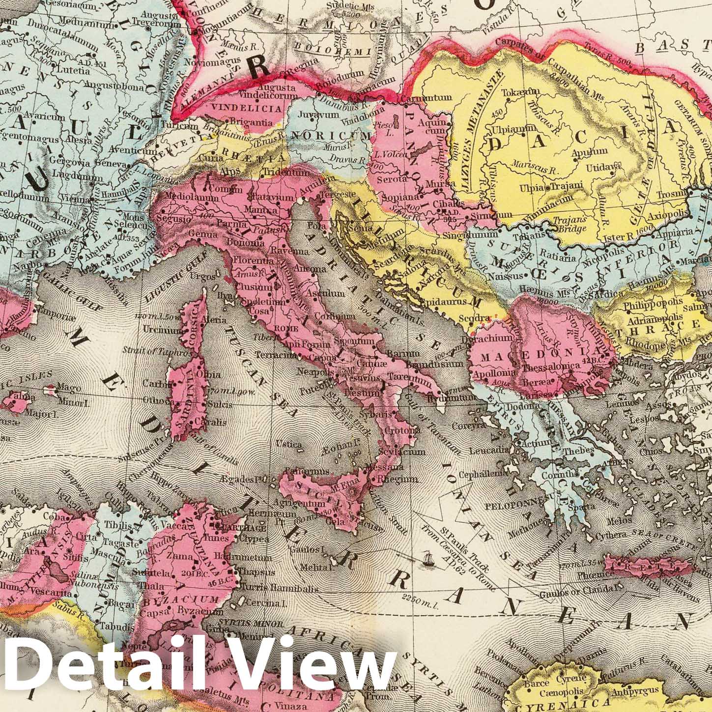
A map of the Roman Empire at its greatest extent in around A.D. 107. The map was engraved by J.H. Young and published by S. Augustus Mitchell in the Eastern District of Pennsylvania. The map features an ornamental cartouche and relief shown by hachures. It is hand-colored and depicts the prime meridians of Washington and Ferro. The upper margin of the map includes the words "classical geography". The map also includes two insets: a map of Britannia Romanorum or Roman Britain, and a map of northern and central Syria. The coastline and some of the rivers are drawn from surveys and the best modern maps and charts and are regulated by astronomical observations. The map distinguishes the principal European settlements and notes which belong to England, Denmark, Holland, and others.
The 1875 Classical Atlas's map of the Roman Empire at its greatest extent is a valuable resource for students of history and cartography. It is an excellent example of a map that is both decorative and informative, with its elegant cartouche and detailed depiction of the empire's extent. The inclusion of insets of Roman Britain and Syria adds to the map's usefulness, while its emphasis on the principal European settlements and the colonial powers that claimed them highlights the global reach of the Roman Empire.
- VINTAGE MAP REPRODUCTION: Add style to any room's decor with this beautiful decorative print. Whether your interior design is modern, rustic or classic, a map is never out of fashion
- MUSEUM QUALITY INKS AND PAPER: Printed on thick 192gsm heavyweight matte paper with archival giclee inks, this historic fine art will decorate your wall for years to come
- ARTWORK MADE TO ORDER IN THE USA: We make each reprint only when you order it. Every antique map is edited for image quality, color and vibrance, so it can look its best while retaining historical character. Makes a great gift!
- FRAME READY: Your unframed poster ships crease-free, rolled in a sturdy mailing tube. Many maps fit easy-to-find standard size frames 16x20, 16x24, 18x24, 24x30, 24x36, saving on custom framing
- Watermarks will not appear in the printed picture. Old maps sometimes have blemishes, tears, or stamps that may be removed from the final print
Why choose Historic Pictoric
Every artwork we offer is carefully edited by our small but dedicated team of image professionals, ensuring each detail is perfect. We print every order to demand right here in the USA, treating every piece with the same care and attention we would give our own work. From editing to printing to packaging, we take pride in delivering artwork that meets our high standards—and we love knowing it’s heading to a home where it will be appreciated.