icon

Free Shipping     |     Satisfaction Guaranteed

American Revolution Maps

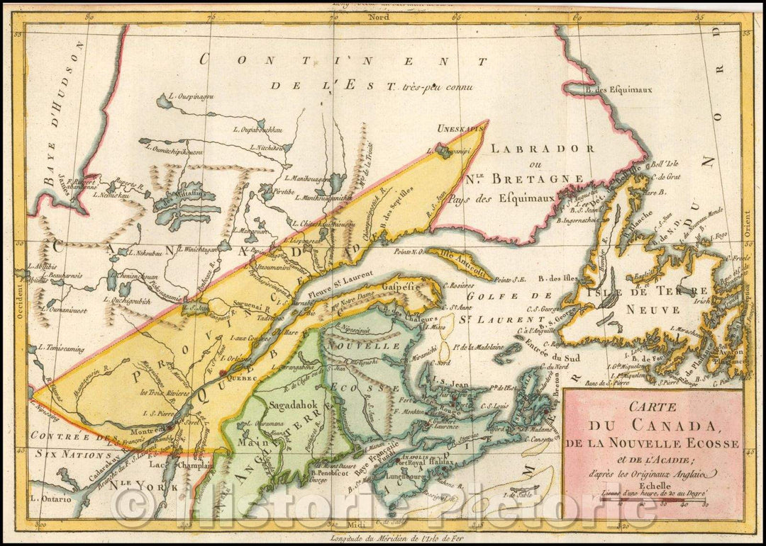
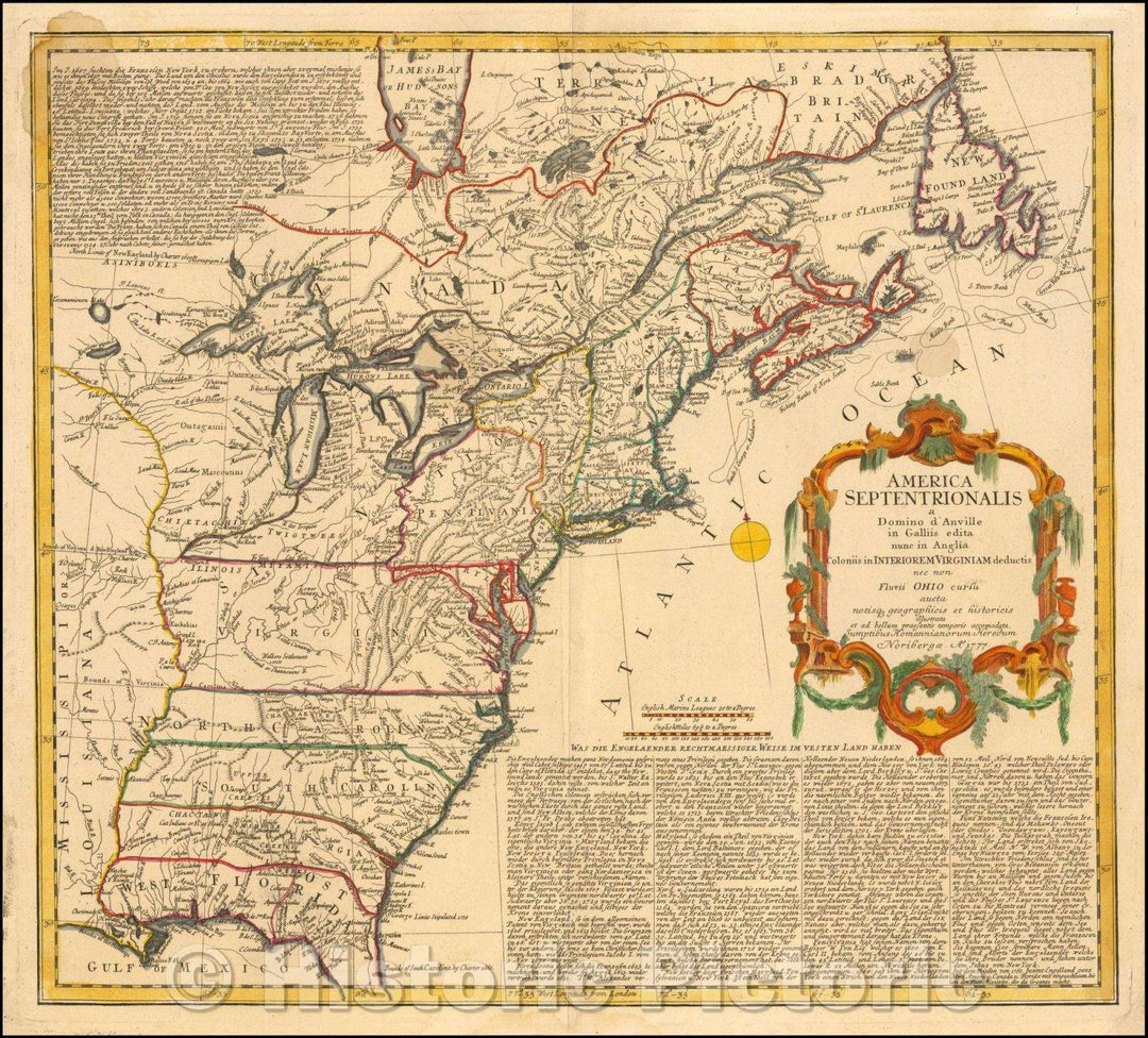
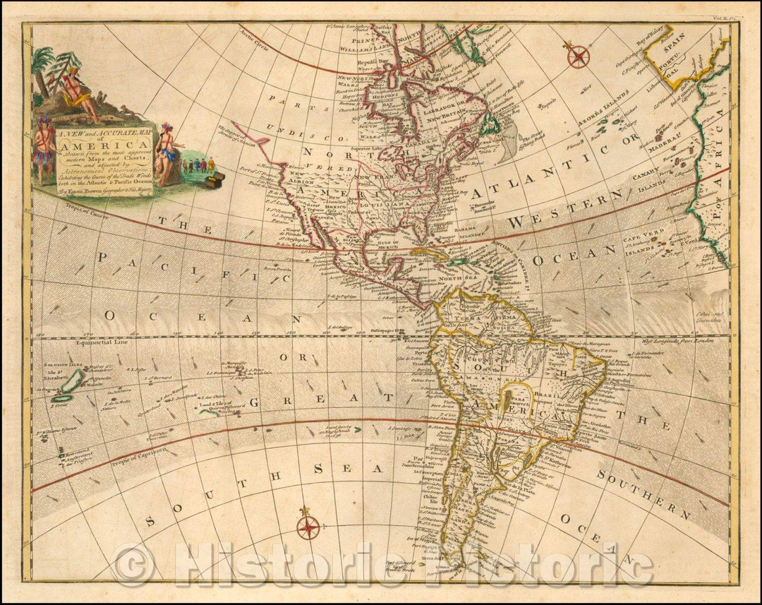
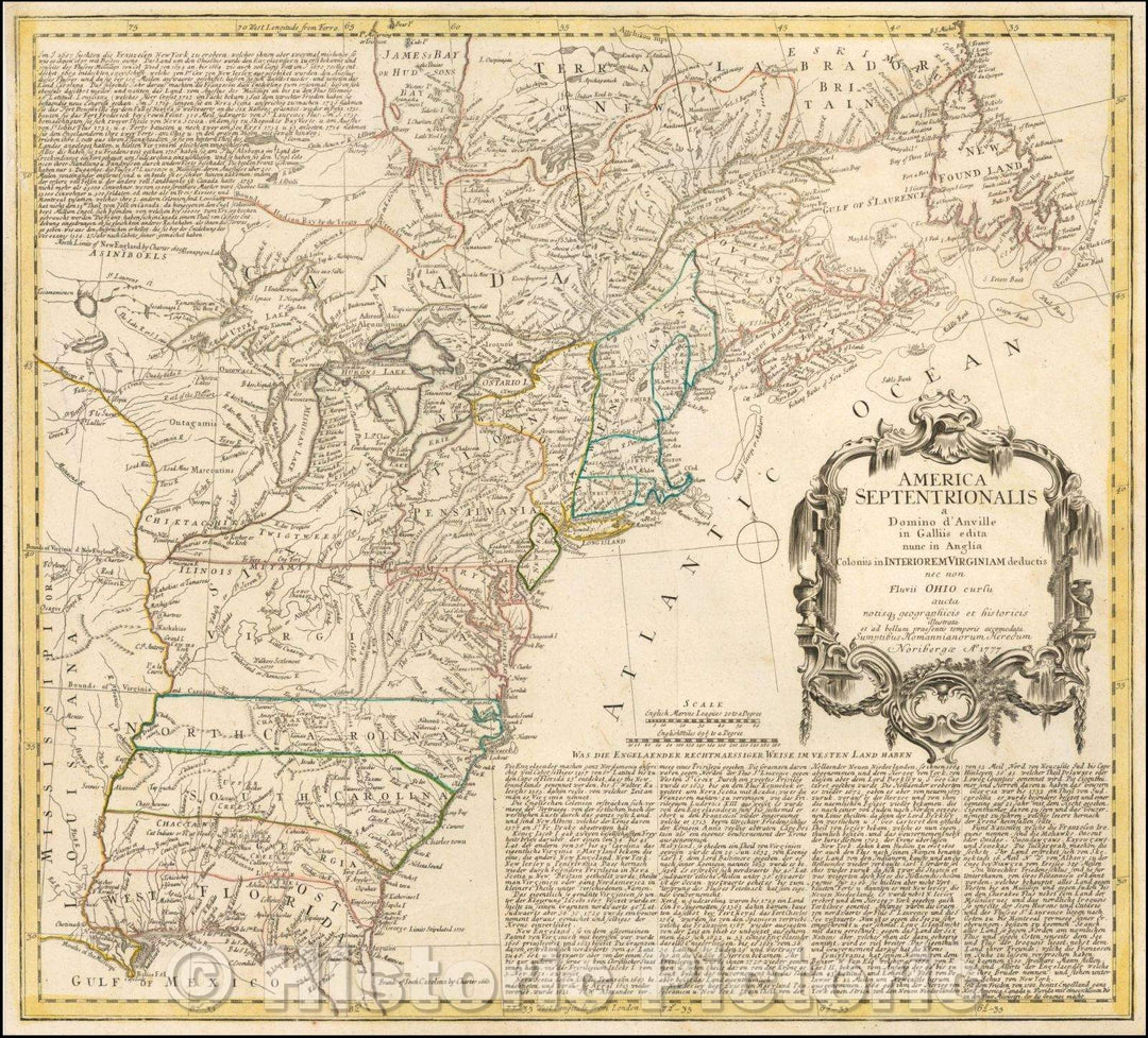
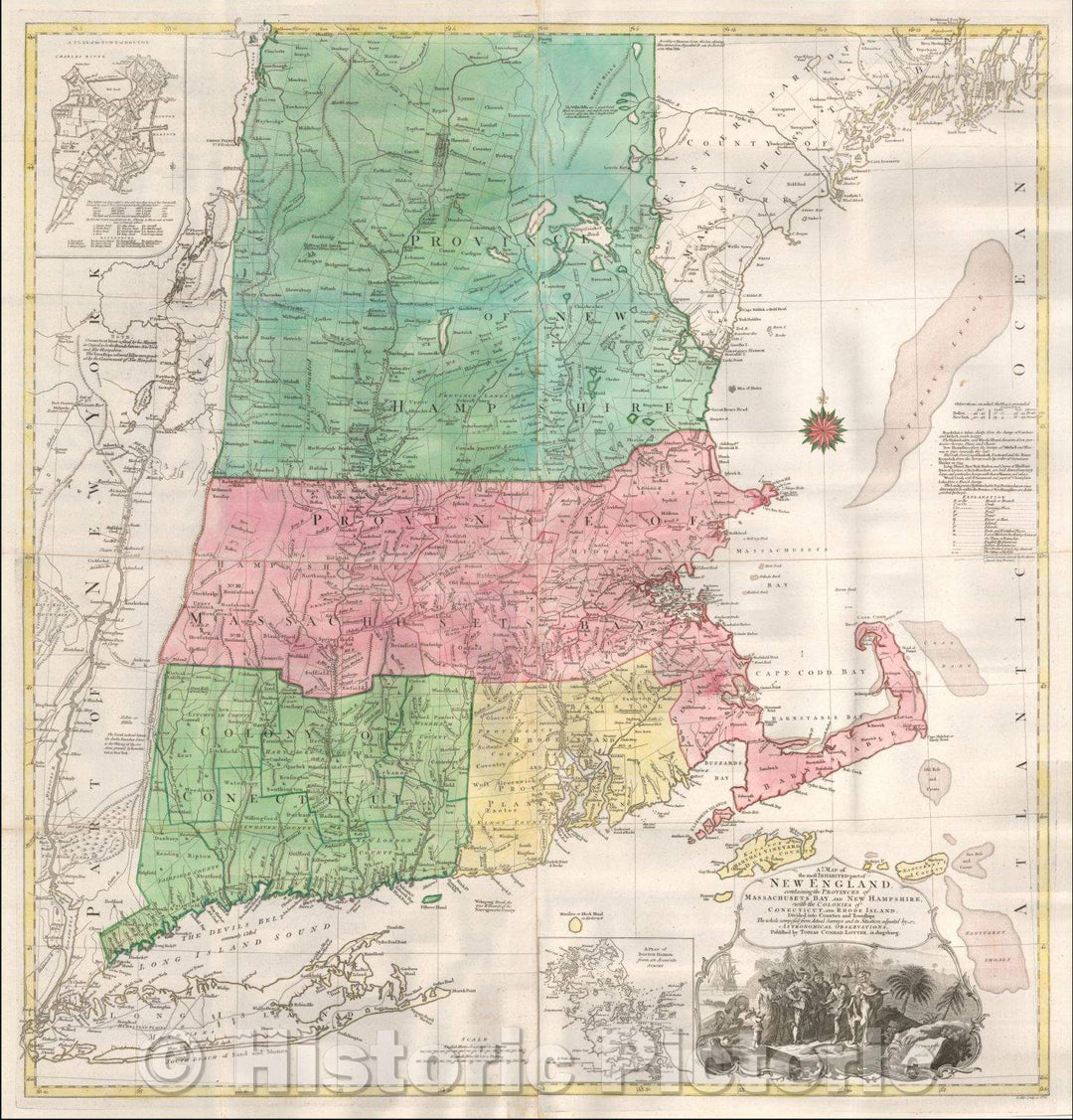
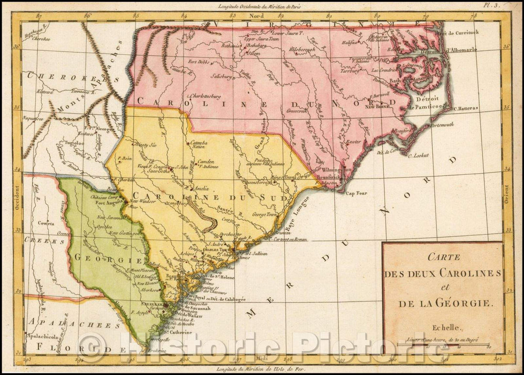
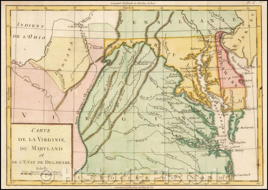
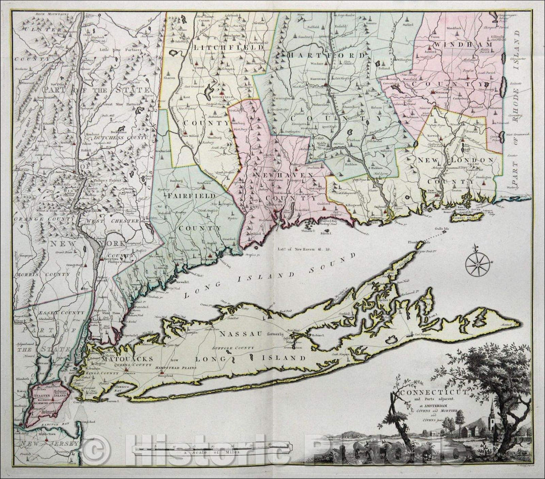
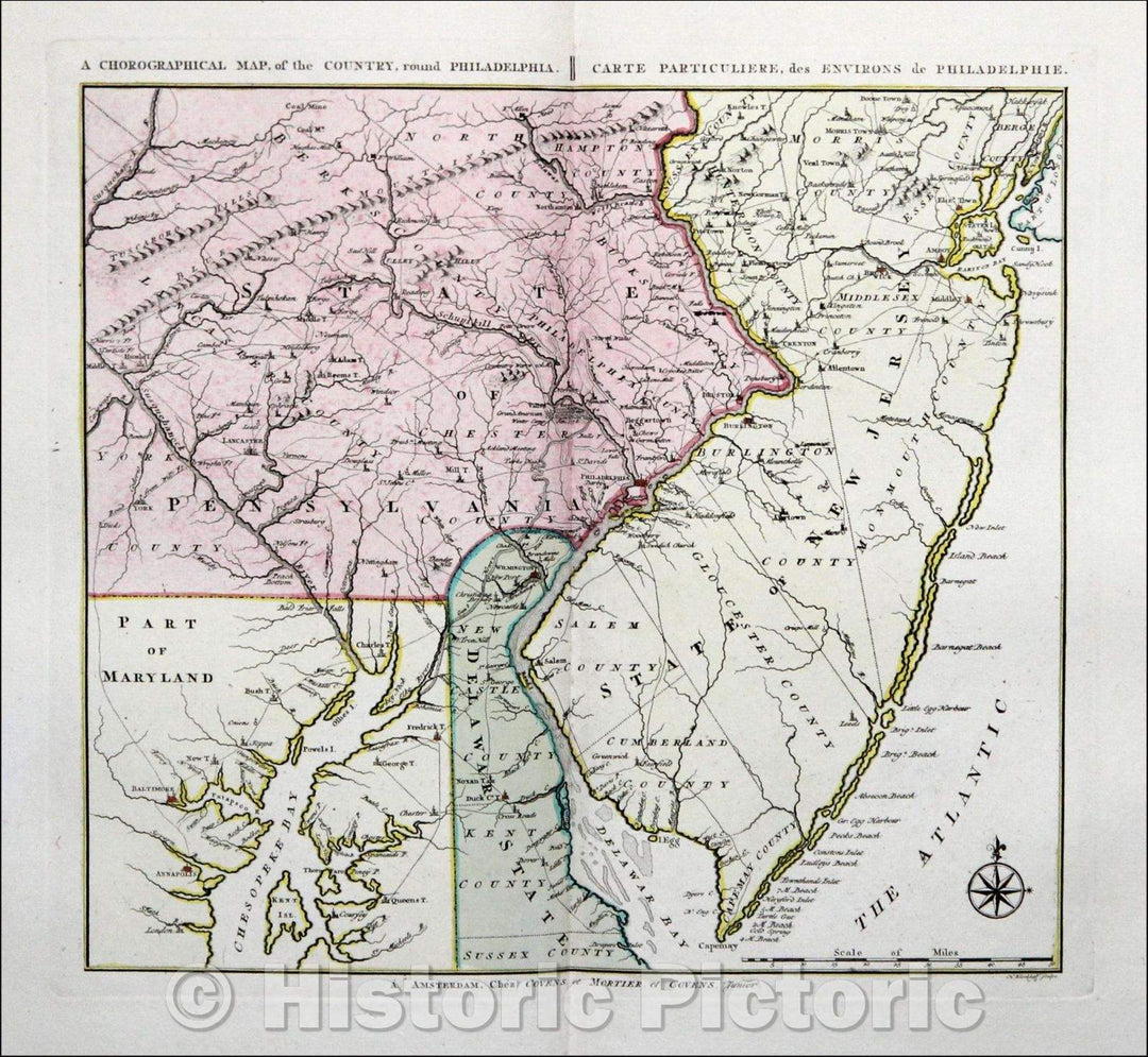
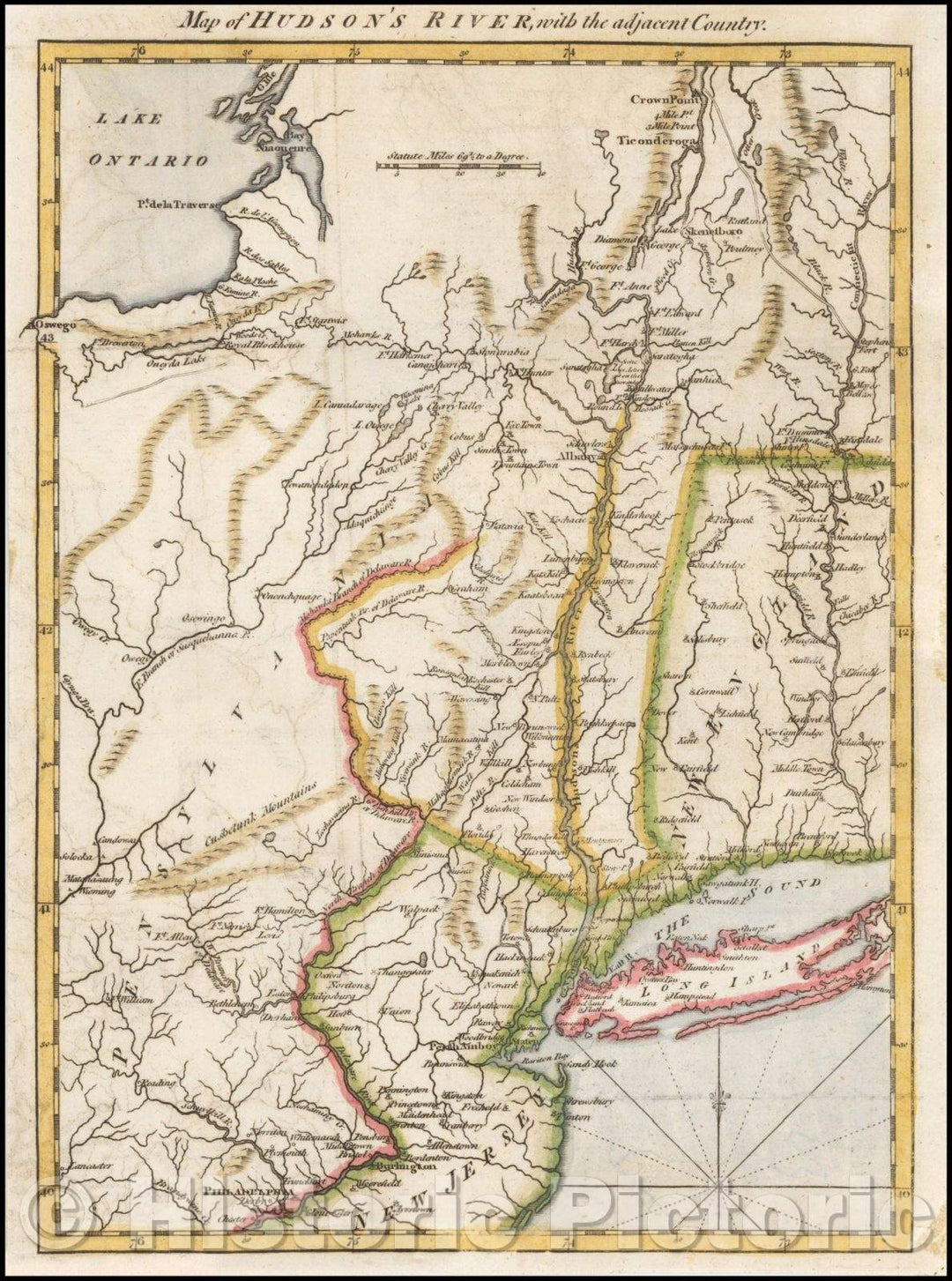
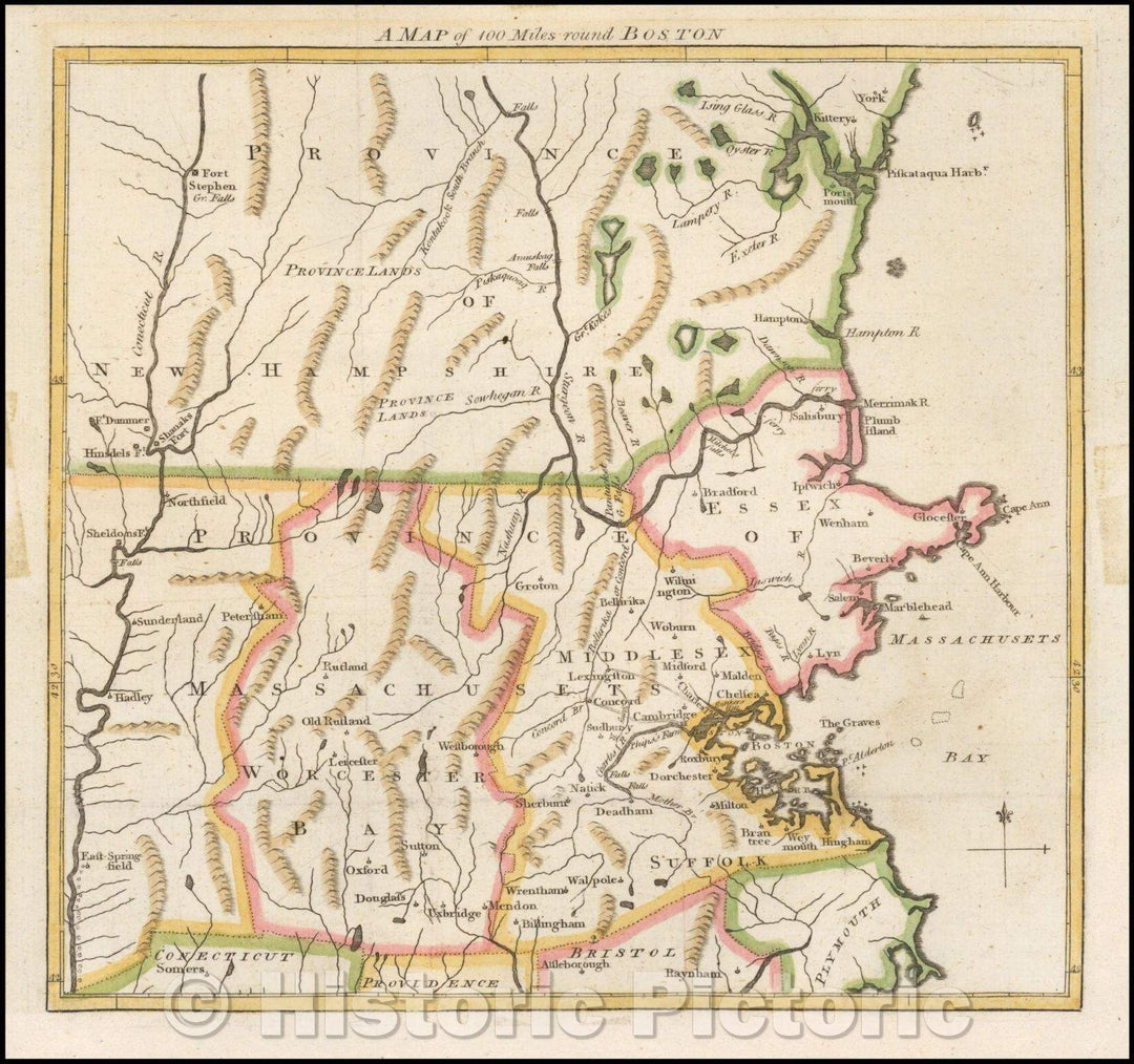
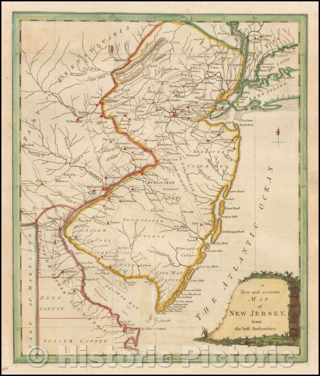
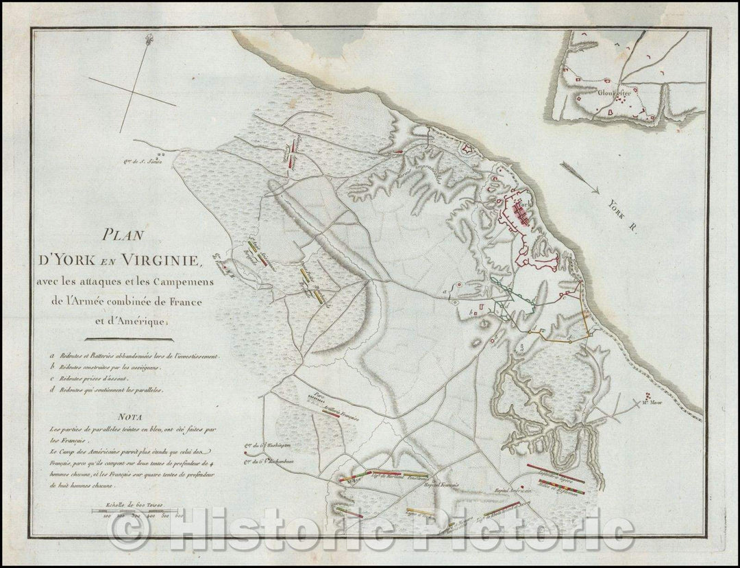
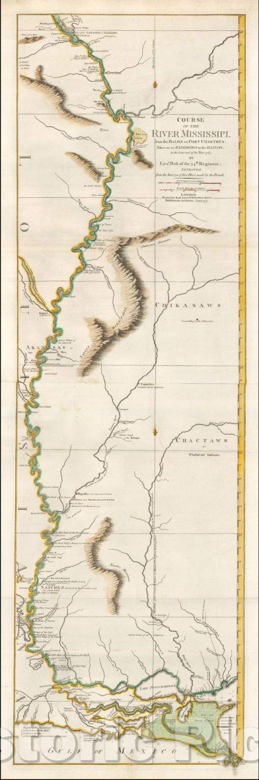
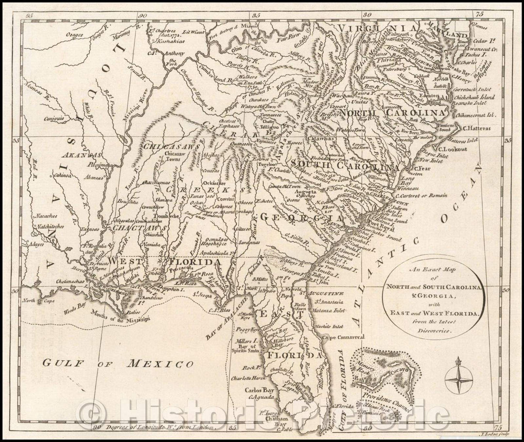
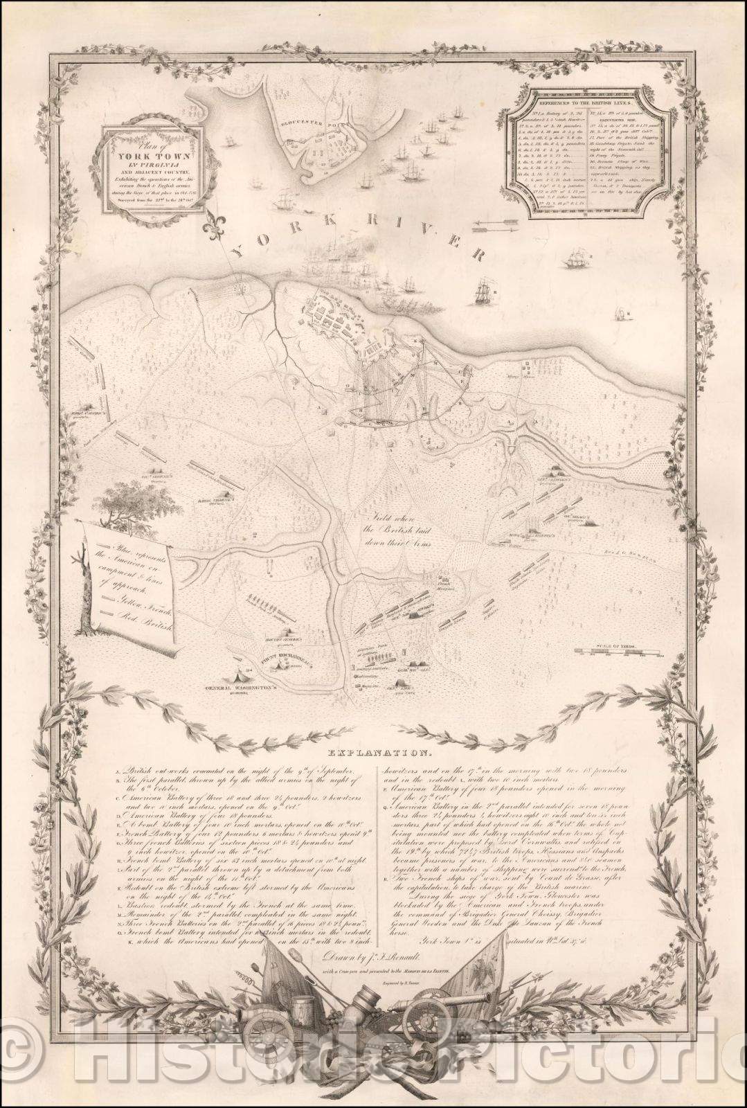
The Revolutionary War collection documents battle maps of the Revolutionary War and troop movements and other logistical details outlining the course of particular military campaigns or engagements. The collection also features more general maps of North America, with period maps of each of the original thirteen states and Canada. This includes individual cities including New York, Philadelphia and Charleston.
Showing products 81 - 160 of 240
Sort by:

Historic Map - Theatre de la Guerre Amerique - Partie De L'Amerique Septentrionale, qui :: Theater of the American War including Canada, 1776 - Vintage Wall Art

Theatre de la Guerre Amerique -- Partie De L'Amerique Septentrionale, qui :: Theater of the American War including Canada,, 1776We print high quality reproductions of historical maps, photographs, prints, etc....
From: $49.99

Historic Map - A New and Accurate Map of Virginia, and Part of Maryland and Pennsylvania, 1780, Political Magazine - Vintage Wall Art

A New and Accurate Map of Virginia, and Part of Maryland and Pennsylvania, 1780, Political MagazineWe print high quality reproductions of historical maps, photographs, prints, etc. Because of their historical...
From: $49.99

Historic Map - Battle of Brandywine in which the Rebels were Defeated, September the 11th 1777, 1778, William Faden - Vintage Wall Art

Battle of Brandywine in which the Rebels were Defeated, September the 11th 1777 , 1778, William FadenWe print high quality reproductions of historical maps, photographs, prints, etc. Because of their...
From: $49.99

Historic Map - A Chorographical Map, of the Country, round Philadelphia/Carte Particuliere, des Environs de Philadelphie, 1778, Covens & Mortier - Vintage Wall Art

A Chorographical Map, of the Country, round Philadelphia / Carte Particuliere, des Environs de Philadelphie, 1778, Covens & MortierWe print high quality reproductions of historical maps, photographs, prints, etc. Because...
From: $34.99

Historic Map - Map for the Interior Travels through America, delineating the March of the Army, 1789, Thomas Condor - Vintage Wall Art

Map for the Interior Travels through America, delineating the March of the Army., 1789, Thomas CondorWe print high quality reproductions of historical maps, photographs, prints, etc. Because of their historical...
From: $34.99

Historic Map - Dedie Aux Generaux De L'Armee De La Grande Bretagne Par Un Zelateur De La Liberte/Satirical engraving, Franco-American Alliance, 1778 - Vintage Wall Art

Dedie Aux Generaux De L'Armee De La Grande Bretagne Par Un Zelateur De La Liberte / Satirical engraving, Franco-American Alliance, 1778We print high quality reproductions of historical maps, photographs, prints,...
From: $49.99

Historic Map - Carte Du Golphe Du Mexique Dressee d'apres celles qui ont ete publiees par ordre des Cours de France, d'Espagne et d'Angleterre, 1780 v1

Carte Du Golphe Du Mexique Dressee d'apres celles qui ont ete publiees par ordre des Cours de France, d'Espagne et d'Angleterre , 1780We print high quality reproductions of historical maps,...
From: $49.99

Historic Map - A Chart of Delaware Bay and River, Containing a full and exact description of the Shores, Creeks, Harbours, Soundings, Shoals, Sands, 1776 - Vintage Wall Art

A Chart of Delaware Bay and River, Containing a full and exact description of the Shores, Creeks, Harbours, Soundings, Shoals, Sands, 1776We print high quality reproductions of historical maps, photographs,...
From: $49.99

Historic Map - Battle of Yorktown/Plan D'York en Virginie avec les attaques et les Campemens de l'Armee combinee de France et d'Amerique, 1785, Henri Soules - Vintage Wall Art

Battle of Yorktown / Plan D'York en Virginie avec les attaques et les Campemens de l'Armee combinee de France et d'Amerique, 1785, Henri SoulesWe print high quality reproductions of historical...
From: $49.99

Historic Map - Plan of the Siege of York Town in Virginia, 1787, Banastre Tarleton - Vintage Wall Art

Plan of the Siege of York Town in Virginia, 1787, Banastre TarletonWe print high quality reproductions of historical maps, photographs, prints, etc. Because of their historical nature, some of these...
From: $34.99

Historic Map - Routes of March of Genl. George Washington, 1915, John Alden Twachtman - Vintage Wall Art

Routes of March of Genl. George Washington, , 1915, John Alden TwachtmanWe print high quality reproductions of historical maps, photographs, prints, etc. Because of their historical nature, some of these...
From: $49.99

Historic Map - America Septentrionalis a Domino d'Anville in Galliis edita nunc in Anglia :: Lord d'Anville in North America now improved with England Colonies, 1777 - Vintage Wall Art

America Septentrionalis a Domino d'Anville in Galliis edita nunc in Anglia :: Lord d'Anville in North America now improved with England Colonies, 1777We print high quality reproductions of historical maps,...
From: $34.99

Historic Map - The Seat of Action between the British and American Forces. Or an Authentic Plan of the Western Part of Long Island, 1776, Sayer & Bennett - Vintage Wall Art

The Seat of Action between the British and American Forces. Or an Authentic Plan of the Western Part of Long Island,, 1776, Sayer & BennettWe print high quality reproductions of...
From: $34.99

Historic Map - Vue de la montagne et de la ville de Gibraltar grav?d apres/View of the Gibratar, Siege of Gibraltar during the American Revolution, 1780 - Vintage Wall Art

Vue de la montagne et de la ville de Gibraltar grav?d apres / View of the Gibratar, Siege of Gibraltar during the American Revolution, 1780We print high quality reproductions of...
From: $49.99

Historic Map - The Theatre of War in North America, with the Roads and a Table of the Distances, 1776, Robert Sayer - Vintage Wall Art

The Theatre of War in North America, with the Roads and a Table of the Distances , 1776, Robert SayerWe print high quality reproductions of historical maps, photographs, prints, etc....
From: $49.99

Historic Map - Carte du Theatre de la Guerre Entre les Anglais et les Americains: Dressee d'apres les Cartes Anglaises les plus modernes, 1778 - Vintage Wall Art

Carte du Theatre de la Guerre Entre les Anglais et les Americains: Dressee d'apres les Cartes Anglaises les plus modernes , 1778We print high quality reproductions of historical maps, photographs,...
From: $49.99

Historic Map - Canada, Louisiane, Possessions Angl? Pars Robert de Vaugondy, 1778, Charles Francois Delamarche - Vintage Wall Art

Canada, Louisiane, Possessions Angl? Pars Robert de Vaugondy, 1778, Charles Francois DelamarcheWe print high quality reproductions of historical maps, photographs, prints, etc. Because of their historical nature, some of these...
From: $49.99

Historic Map : An Accurate Map of North America, Describing and Distinguishing The British and Spanish Dominions, 1775, Vintage Wall Art

An Accurate Map of North America, Describing and Distinguishing The British and Spanish Dominions, 1775
From: $49.99

Historic Map : A Plan and Regulation of the City of New York, 1803, Casimir Goerck, Vintage Wall Art

A Plan and Regulation of the City of New York, 1803, Casimir Goerck
From: $49.99

Historic Map : New York Island, with Long Island, Staten Island & New Jersey, Woody Heights of Long Island, between Flatbush and Brooklyn, 1776, William Faden, Vintage Wall Art

New York Island, with Long Island, Staten Island & New Jersey, Woody Heights of Long Island, between Flatbush and Brooklyn, 1776, William Faden
From: $49.99

Historic Map : The Seat of Action between the British and American Forces. Or an Authentic Plan of the Western Part of Long Island, 1776, Sayer & Bennett, Vintage Wall Art

The Seat of Action between the British and American Forces. Or an Authentic Plan of the Western Part of Long Island, 1776, Sayer & Bennett
From: $34.99

Historic Map : A New and Accurate Map of New Jersey, from the Best Authorities, 1780, Universal Magazine, v3, Vintage Wall Art

A New and Accurate Map of New Jersey, from the Best Authorities, 1780, Universal Magazine, v3, Vintage Wall Art :
From: $49.99

Historic Map : A New and Accurate Map of North America with the new discovered Islands on the North East Coast of Asia, c1785, Emanuel Bowen, Vintage Wall Art

A New and Accurate Map of North America with the new discovered Islands on the North East Coast of Asia, c1785, Emanuel Bowen
From: $49.99

Historic Map : Plan De La Baie De Narraganset Dans La Nouvelle Angleterre, 1780, Depot de la Marine, Vintage Wall Art

Plan De La Baie De Narraganset Dans La Nouvelle Angleterre, 1780, Depot de la Marine
From: $49.99

Historic Map : A Plan of Boston, and its Environs, shewing the true Situation of His Majesty's Army, 1776, Andrew Dury, Vintage Wall Art

A Plan of Boston, and its Environs, shewing the true Situation of His Majesty's Army, 1776, Andrew Dury
From: $49.99

Historic Map : Plan du Havre de Charleston, montrant la disposition de la Flotte Britannique, 1787, Charles Picquet, Vintage Wall Art

Plan du Havre de Charleston, montrant la disposition de la Flotte Britannique,, 1787, Charles Picquet
From: $49.99

Historic Map : Luigiana Inglese, colla Parte Occidentale della Florida, della Giorgia, e Carolina Meridonale., 1778, Antonio Zatta, v1, Vintage Wall Art

Luigiana Inglese, colla Parte Occidentale della Florida, della Giorgia, e Carolina Meridonale., 1778, Antonio Zatta, v1, Vintage Wall Art :
From: $49.99

Historic Map : A Map of Pennsylvania, 1775, Nicholas Scull, Vintage Wall Art

A Map of Pennsylvania, 1775, Nicholas Scull
From: $49.99

Historic Map : Carte Nouvelle de L'Amerique Angloise contenant tout ce que les Anglois possedent sur le Continent de L'Amerique Septentrionale, 1776, , Vintage Wall Art

Carte Nouvelle de L'Amerique Angloise contenant tout ce que les Anglois possedent sur le Continent de L'Amerique Septentrionale,, 1776,
From: $79.99

Historic Map : [Boston -- 4 Views From The Harbor], 1777, Joseph Frederick Wallet Des Barres, Vintage Wall Art

[Boston -- 4 Views From The Harbor], 1777, Joseph Frederick Wallet Des Barres
From: $49.99

Historic Map : Caroline Meridionale avec les Parties adjacentes: pour servir a l'Intelligence Des Mouvemens Des Armees Americains et Britanniques, 1787, Vintage Wall Art

Caroline Meridionale avec les Parties adjacentes: pour servir a l'Intelligence Des Mouvemens Des Armees Americains et Britanniques, 1787
From: $34.99

Historic Map : Carte de la Nouvelle York : y-compris les terres c??s du N. Hamp-Shire, sous le nom d'etat de Vermont., 1782, Vintage Wall Art

Carte de la Nouvelle York : y-compris les terres c??s du N. Hamp-Shire, sous le nom d'etat de Vermont., 1782
From: $49.99

Historic Map : The Jerseys, &c. &c, 1777, Thomas Condor, v2, Vintage Wall Art

The Jerseys, &c. &c, 1777, Thomas Condor, v2, Vintage Wall Art :
From: $49.99

Historic Map : A Plan of the Town of Newport in Rhode Island. Surveyed by Charles Blaskowitz, Engraved and Publish'd by Willm. Faden, Sept 1, 1777, 1777, , Vintage Wall Art

A Plan of the Town of Newport in Rhode Island. Surveyed by Charles Blaskowitz, Engraved and Publish'd by Willm. Faden, Sept 1, 1777, 1777,
From: $34.99

Historic Map : [Fort Moultrie] Plan de la Situation et des Stations des Vaisseaux Britanniques, 1787, Charles Picquet, Vintage Wall Art

[Fort Moultrie] Plan de la Situation et des Stations des Vaisseaux Britanniques,, 1787, Charles Picquet
From: $59.99

Historic Map : The Jerseys, &c. &c, 1777, Thomas Condor, v1, Vintage Wall Art

The Jerseys, &c. &c, 1777, Thomas Condor, v1, Vintage Wall Art :
From: $49.99

Historic Map : Port Royal in South Carolina Taken from Surveys Deposited at the Plantation Office, 1777, , Vintage Wall Art

Port Royal in South Carolina Taken from Surveys Deposited at the Plantation Office, 1777,
From: $49.99

Historic Map : Plan De La Ville De Boston et ses Environs, 1764, Jacques Nicolas Bellin, v2, Vintage Wall Art

Plan De La Ville De Boston et ses Environs, 1764, Jacques Nicolas Bellin, v2, Vintage Wall Art :
From: $49.99

Historic Map : Plan of the Harbour of Pensacola By B. Romans. 1771, 1794, Sayer & Bennett, Vintage Wall Art

Plan of the Harbour of Pensacola By B. Romans. 1771, 1794, Sayer & Bennett
From: $49.99

Historic Map : Plan of the City of New York and its Environs, Surveyed and Laid Down, 1770, Bernard Ratzer, Vintage Wall Art

Plan of the City of New York and its Environs, Surveyed and Laid Down, 1770, Bernard Ratzer
From: $49.99

Historic Map : United States, 1798, John Russell, Vintage Wall Art

United States, 1798, John Russell
From: $49.99

Historic Map : The United States of America, 1788, Thomas Condor, Vintage Wall Art

The United States of America, 1788, Thomas Condor
From: $34.99

Historic Map : A New and Accurate Map of New Jersey, from the Best Authorities, 1780, Universal Magazine, v2, Vintage Wall Art

A New and Accurate Map of New Jersey, from the Best Authorities, 1780, Universal Magazine, v2, Vintage Wall Art :
From: $49.99

Historic Map : A Map of the British Empire in North America By Samuel Dunn Mathematician. improved from the Surveys of Capt. Carver. 1776, 1776, Samuel Dunn, Vintage Wall Art

A Map of the British Empire in North America By Samuel Dunn Mathematician. improved from the Surveys of Capt. Carver. 1776, 1776, Samuel Dunn
From: $49.99

Historic Map : A Plan of the Town, Bar, Harbour and Environs of Charlestown in South Carolina, 1780, , Vintage Wall Art

A Plan of the Town, Bar, Harbour and Environs of Charlestown in South Carolina, 1780,
From: $49.99

Historic Map : Course of the River Mississipi, from the Balise to Fort Chartres; Taken on an Expedition to the Illinois, 1775, Robert Sayer, Vintage Wall Art

Course of the River Mississipi, from the Balise to Fort Chartres; Taken on an Expedition to the Illinois, 1775, Robert Sayer
From: $34.99

Historic Map : [Fort Moultrie] Plan de la Situation et des Stations des Vaisseaux Britanniques, 1787, Charles Picquet, Vintage Wall Art

[Fort Moultrie] Plan de la Situation et des Stations des Vaisseaux Britanniques, 1787, Charles Picquet
From: $49.99

Historic Map : Map of Hudson's River, with the adjacent Country, 1778, Gentleman's Magazine, Vintage Wall Art

Map of Hudson's River, with the adjacent Country, 1778, Gentleman's Magazine
From: $49.99

Historic Map : Carte Generale des Treize Etats Unis de L'Amerique Septentrionale == Kaart van de Dertien Verenigde Staaten in Noord Amerika, ., c1780, Vintage Wall Art

Carte Generale des Treize Etats Unis de L'Amerique Septentrionale == Kaart van de Dertien Verenigde Staaten in Noord Amerika, ., c1780
From: $49.99

Historic Map - Attack of the Rebels upon Fort Penobscot in the Province of New England in which their Fleet was totally destroyed and their Army dispersed, 1785 v1

Attack of the Rebels upon Fort Penobscot in the Province of New England in which their Fleet was totally destroyed and their Army dispersed, 1785We print high quality reproductions of...
From: $34.99

Historic Map : Plan of the Operations of General Washington, against the King's Troops in New Jersey, 1777, William Faden, v2, Vintage Wall Art

Plan of the Operations of General Washington, against the King's Troops in New Jersey, 1777, William Faden, v2, Vintage Wall Art :
From: $49.99

Historic Map - An Exact Plan of Charleston Bar and Harbour. From An Actual Survey. With the Attack of Fort Sulivan, on the 28th of June 1776, 1791 - Vintage Wall Art

An Exact Plan of Charleston Bar and Harbour. From An Actual Survey. With the Attack of Fort Sulivan, on the 28th of June 1776. , 1791We print high quality reproductions...
From: $49.99

Historic Map - A General Map of South America From the Best Surveys, 1796, John Reid - Vintage Wall Art

A General Map of South America From the Best Surveys, ., 1796, John ReidWe print high quality reproductions of historical maps, photographs, prints, etc. Because of their historical nature, some...
From: $49.99

Historic Map : Exact Plan of General Gage's Lines on Boston Neck in America, 1775, Robert Aitken, Vintage Wall Art

Exact Plan of General Gage's Lines on Boston Neck in America, 1775, Robert Aitken
From: $49.99

Historic Map : A New and Accurate Map of New Jersey, from the Best Authorities, 1780, Universal Magazine, v1, Vintage Wall Art

A New and Accurate Map of New Jersey, from the Best Authorities, 1780, Universal Magazine, v1, Vintage Wall Art :
From: $49.99

Historic Map : Carte Nouvelle de L'Amerique Angloise contenant tout ce que les Anglois possedent sur le Continent de L'Amerique Septentrionale , 1776, Vintage Wall Art

Carte Nouvelle de L'Amerique Angloise contenant tout ce que les Anglois possedent sur le Continent de L'Amerique Septentrionale , 1776
From: $49.99

Historic Map : Carte Des Troubles De L'Amerique, 1778, George Louis Le Rouge, v1, Vintage Wall Art

Carte Des Troubles De L'Amerique, 1778, George Louis Le Rouge, v1, Vintage Wall Art :
From: $49.99

Historic Map : S. Augustin Capitale De La Floride Orientale, 1778, , Vintage Wall Art

S. Augustin Capitale De La Floride Orientale, 1778,
From: $34.99

Historic Map : Theatre des Operations des Armess Americaine et Britanique en 1776 et 1777, depuis la Riviere de Rariton, 1807, John Marshall, Vintage Wall Art

Theatre des Operations des Armess Americaine et Britanique en 1776 et 1777, depuis la Riviere de Rariton, 1807, John Marshall
From: $49.99

Historic Map : Plan of the Operations of General Washington, against the King's Troops in New Jersey, 1777, William Faden, v1, Vintage Wall Art

Plan of the Operations of General Washington, against the King's Troops in New Jersey, 1777, William Faden, v1, Vintage Wall Art :
From: $49.99

Historic Map : Carte de la Route des Lacs, depuis Montreal et St. Jean, jusqu'a a la Riviere d'Hudson, 1782, Michel Rene Hilliard d'Auberteuil, Vintage Wall Art

Carte de la Route des Lacs, depuis Montreal et St. Jean, jusqu'a a la Riviere d'Hudson, 1782, Michel Rene Hilliard d'Auberteuil
From: $49.99

Historic Map : Baye de Chesapeake en 4 Feuilles avec les Bas sonds, Passes, Entrees, Sondes et Routes, 1778, George Louis Le Rouge, Vintage Wall Art

Baye de Chesapeake en 4 Feuilles avec les Bas sonds, Passes, Entrees, Sondes et Routes, 1778, George Louis Le Rouge
From: $49.99

Historic Map : Plan De La Ville De Boston et ses Environs, 1764, Jacques Nicolas Bellin, v1, Vintage Wall Art

Plan De La Ville De Boston et ses Environs, 1764, Jacques Nicolas Bellin, v1, Vintage Wall Art :
From: $49.99

Historic Map : The Coast of New England, 1776, Joseph Frederick Wallet Des Barres, Vintage Wall Art

The Coast of New England, 1776, Joseph Frederick Wallet Des Barres
From: $49.99

Historic Map : A Map of 100 Miles around Boston (The Battles of Lexington and Concord), 1775, Gentleman's Magazine, Vintage Wall Art

A Map of 100 Miles around Boston (The Battles of Lexington and Concord), 1775, Gentleman's Magazine
From: $34.99

Historic Map : A New and Accurate Map of the Present Seat of War in North America, 1777, Universal Magazine, Vintage Wall Art

A New and Accurate Map of the Present Seat of War in North America, 1777, Universal Magazine
From: $49.99

Historic Map : A Compleat Map of the West Indies., 1776, Vintage Wall Art

A Compleat Map of the West Indies., 1776, Vintage Wall Art
From: $49.99

Historic Map : Plate 160. Military History. American Revolution, 1775 - 1800., 1932, Vintage Wall Decor

Plate 160. Military History. American Revolution, 1775 - 1800., 1932
From: $49.99

Historic Map : 1807 New York Island, Part of Long Island - Vintage Wall Art

1807 New York Island, Part of Long Island
From: $49.99

Historic Map : 1807 Siege of Charleston in S. Carolina. - Vintage Wall Art

1807 Siege of Charleston in S. Carolina.
From: $49.99

Historic Map : Atlas - 1807 Northern Part of New Jersey, shewing the the American and British Armies after crossing the North River in 1776. - Vintage Wall Art

Atlas - 1807 Northern Part of New Jersey, shewing the the American and British Armies after crossing the North River in 1776.
From: $49.99

Historic Map : 1807 Virginia, North Carolina, South Carolina, Georgia, Operations of the Southern Armies. - Vintage Wall Art

1807 Virginia, North Carolina, South Carolina, Georgia, Operations of the Southern Armies.
From: $49.99

Historic Map : 1807 Country from Rariton River in East Jersey to Elk Head in Maryland. - Vintage Wall Art

1807 Country from Rariton River in East Jersey to Elk Head in Maryland.
From: $49.99

Historic Map : Rhode Island, 1807 Position des Armees Americaine et Britannique, au Siege de Newport, et a l'affaire de 29 Aout 1778. , Vintage Wall Art

Rhode Island, 1807 Position des Armees Americaine et Britannique, au Siege de Newport, et a l'affaire de 29 Aout 1778. , Vintage Wall Art
From: $49.99

Historic Map : New York, 1807 Plaines Blanches et Armees Americaine et Britannique, 12 Octobre1776. , Vintage Wall Art

New York, 1807 Plaines Blanches et Armees Americaine et Britannique, 12 Octobre1776. , Vintage Wall Art
From: $49.99

Historic Map : New Jersey, 1807 Septentrionale du New Jersey, et Positions des Armees Americaine et Britannique en 1776. , Vintage Wall Art

New Jersey, 1807 Septentrionale du New Jersey, et Positions des Armees Americaine et Britannique en 1776. , Vintage Wall Art
From: $49.99

Historic Map : South Carolina, 1807 Siege de Charleston. , Vintage Wall Art

South Carolina, 1807 Siege de Charleston. , Vintage Wall Art
From: $49.99

Historic Map : 1807 Country from Frog's Point to Croton River shewing the American and British Armies 1776. - Vintage Wall Art

1807 Country from Frog's Point to Croton River shewing the American and British Armies 1776.
From: $49.99
Showing products 81 - 160 of 240

Free Shipping

We offer Free Standard Shipping for all orders within the United States. If you want your stuff there faster, see Expedited and Overnight shipping cost at checkout.

Our Guarantee

If you are not completely satisfied, just send the product back to us and we'll replace it with another one of your choice OR refund your purchase price 100%. Our address is on the contact us page.

100% Satisfaction

We painstakingly labor over the preparation and printing of each individual product we sell. We stand behind the materials and workmanship, and want nothing more than for you to be 100% happy with your order.

Just added to your wishlist:
My Wishlist
Just added to your cart:
My Cart