icon

Free Shipping     |     Satisfaction Guaranteed

American Revolution Maps

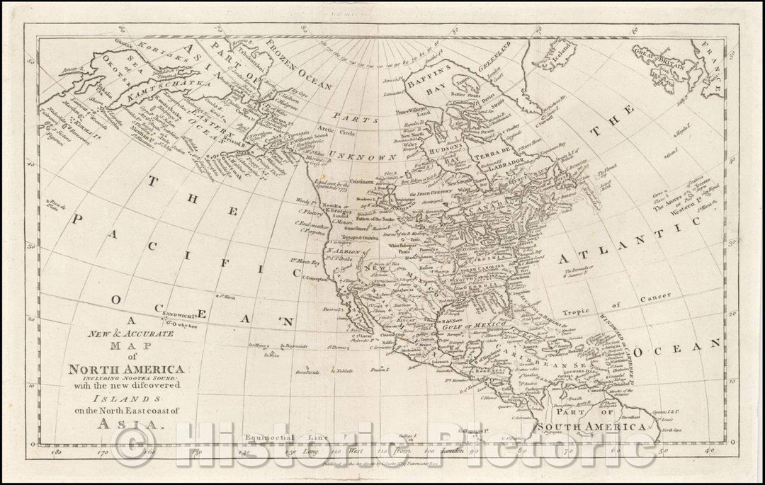
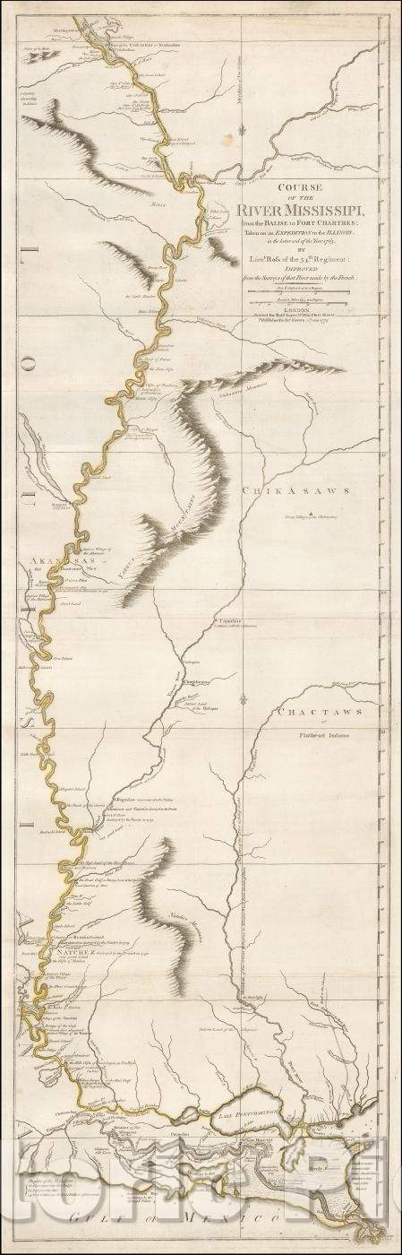
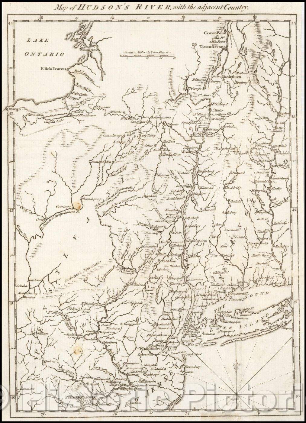
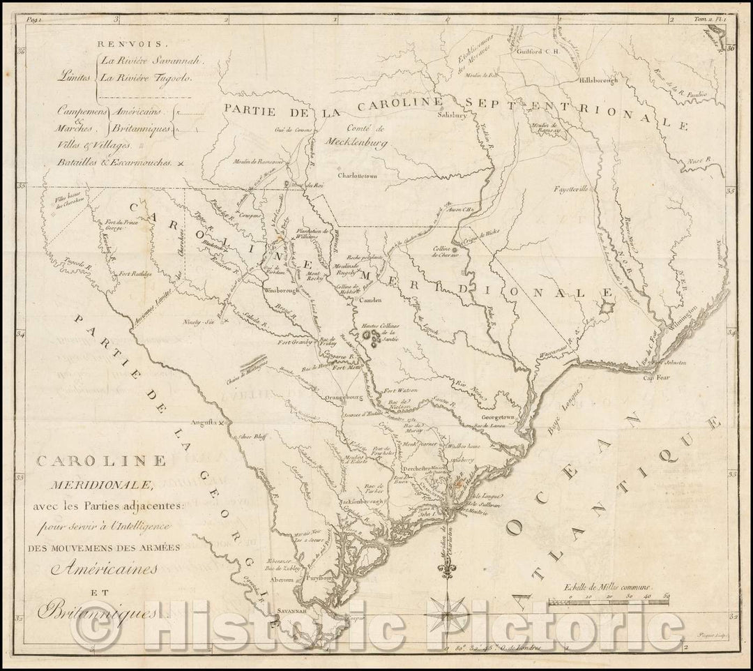
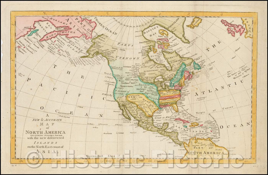
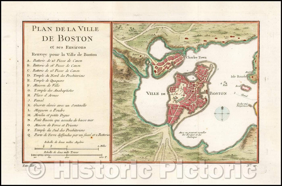
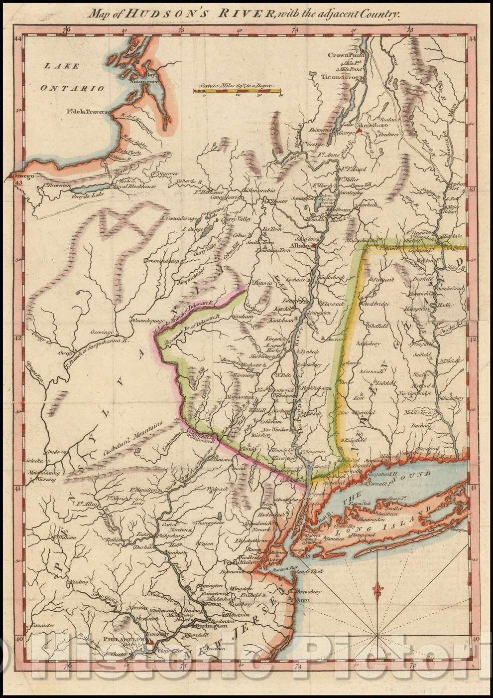
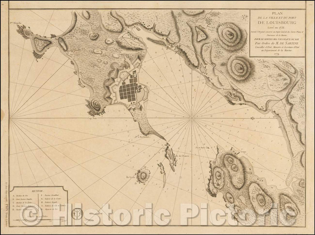
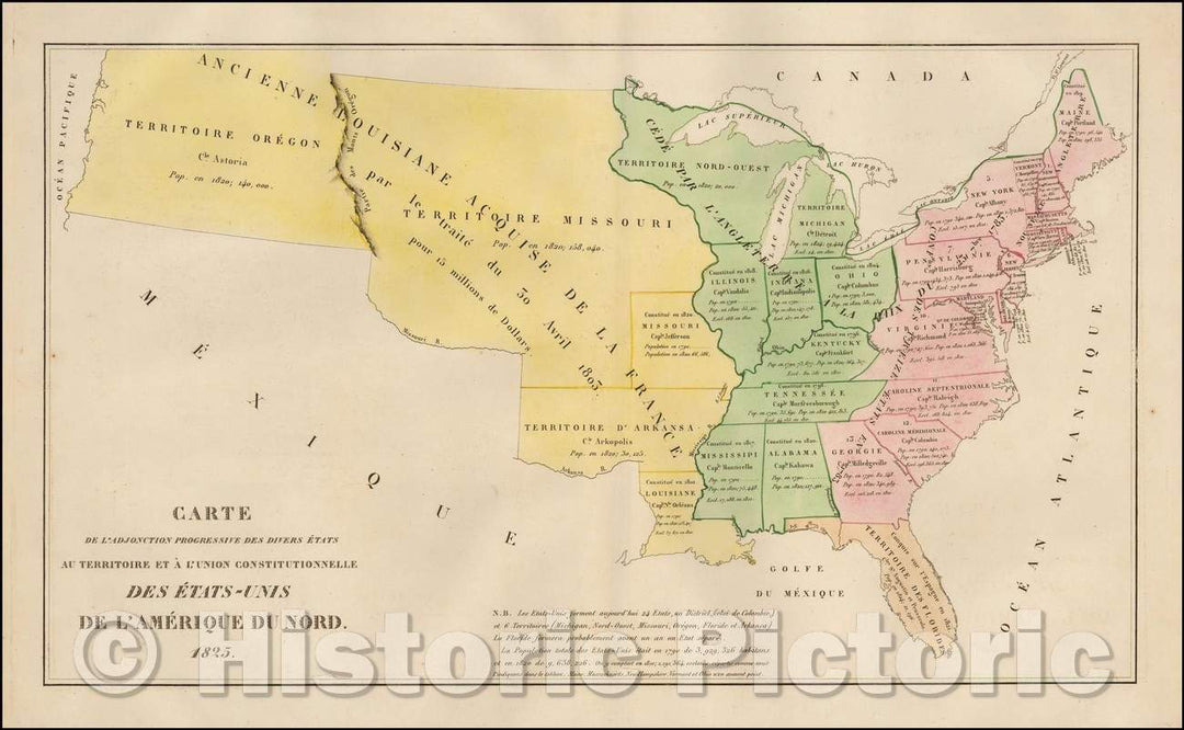
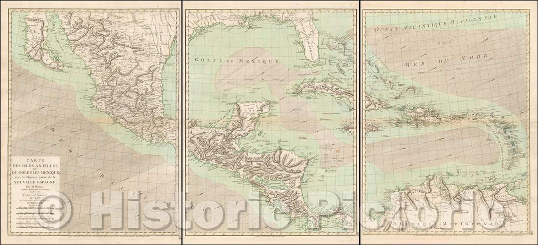
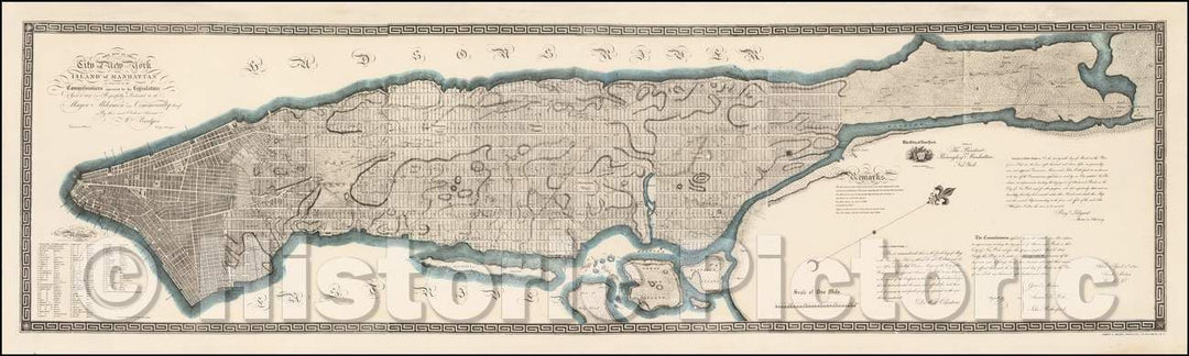
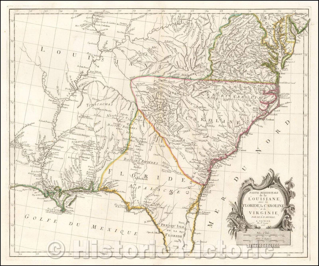
The Revolutionary War collection documents battle maps of the Revolutionary War and troop movements and other logistical details outlining the course of particular military campaigns or engagements. The collection also features more general maps of North America, with period maps of each of the original thirteen states and Canada. This includes individual cities including New York, Philadelphia and Charleston.
Showing products 161 - 240 of 240
Sort by:

Historic Map : National Atlas - 1776 A General Map of the Southern British Colonies, in America. - Vintage Wall Art

National Atlas - 1776 A General Map of the Southern British Colonies, in America.
From: $49.99

Historic Map : National Atlas - 1776 A General Map of the Northern British Colonies in America. - Vintage Wall Art

National Atlas - 1776 A General Map of the Northern British Colonies in America.
From: $49.99

Historic Map : National Atlas - 1776 A General Map of the Middle British Colonies, in America. - Vintage Wall Art

National Atlas - 1776 A General Map of the Middle British Colonies, in America.
From: $49.99

Historic Map : the United States at the Close of the Revolutionary War. 1492-1783, 1957 - Vintage Wall Art

A Map of the United States at the Close of the Revolutionary War. 1492-1783. The first in a series of four maps showing the territorial expansion of the United States...
From: $49.99

Historic Map - Chart of The Straits of Magellan. 1776 - Vintage Wall Art

A Chart Of The Straits Of Magellan. Inlarged From The Chart Published At Madrid in 1769, by Don Juan de la Cruz Cano y Olmedilla of the Royal Academy of...
From: $49.99

Historic Map : An Exact Chart of the River St. Laurence. 1776 - Vintage Wall Art

An Exact Chart of the River St. Laurence, from Fort Frontenac to the Island of Anticosti shewing the Soundings, Rocks, Shoals &c with Views of the Lands and all necessary...
From: $49.99

Historic Map : A General Chart of The Island of Newfoundland. 1776 - Vintage Wall Art

A General Chart Of The Island Of Newfoundland with the Rocks & Soundings. Drawn from Surveys taken by Order of the Right Honourable the Lords Commissioners of the Admiralty. By...
From: $34.99

Historic Map : The Russian Discoveries 1776 - Vintage Wall Art

The Russian Discoveries, from the Map Published by the Imperial Academy of St. Petersburg. London, Printed for Robt. Sayer, Map & Printseller, No. 53 in Fleet Street. Published as the...
From: $49.99

Historic Map : Composite: South America. 1776 - Vintage Wall Art

(Composite of) A Map Of South America Containing Tierra-Firma, Guayana, New Granada, Amazonia, Brasil, Peru, Paraguay, Chaco, Tucuman, Chili and Patagonia. from Mr. D'Anville with Several Improvements and Additions, and...
From: $49.99

Historic Map : Chart containing part of the Icy Sea Greenland Islands about Baffins Bay and part of Hudsons Bay. 1776 - Vintage Wall Art

A Chart of North and South America, including the Atlantic and Pacific Oceans, with the nearest Coasts of Europe, Africa, and Asia. Chart containing part of the Icy Sea with...
From: $34.99

Historic Map : the Island of St. John In the Gulf of St. Laurence, 1776 - Vintage Wall Art

A Map of the Island of St. John In the Gulf of St. Laurence Divided Into Counties & Parishes And the Lots, as granted by Government, to which are added...
From: $49.99

Historic Map : A Chart of The Gulf of St. Laurence. 1776 - Vintage Wall Art

A Chart Of The Gulf Of St. Laurence, Composed From A Great Number Of Actual Surveys And Other Materials, Regulated and Connected by Astronomical Observations. London. Printed & Sold by...
From: $49.99

Historic Wall Map : The Provinces of Massachusetts Bay and New Hampshire. (Northern section) 1776 - Vintage Wall Art

A Map of the most Inhabited part of New England, containing the Provinces of Massachusetts Bay and New Hampshire, with the Colonies of Conecticut And Rhode Island, Divided into Counties...
From: $49.99

Historic Map : Composite: North & South Carolina. 1776 - Vintage Wall Art

(Composite of) An Accurate Map Of North And South Carolina With Their Indian Frontiers, Shewing in a distinct manner all the Mountains, Rivers, Swamps, Marshes, Bays, Creeks, Harbours, Sandbanks and...
From: $49.99

Historic Map : The British Empire, in North America, 1776 - Vintage Wall Art

A Map Of The British Empire, in North America. By Samuel Dunn, Mathematician, improved from the Surveys of Capt. Carver. London. Printed for R. Sayer & J. Bennett ... Augst....
From: $49.99

Historic Map - A Survey of Lake Champlain, including Lake George, Crown Point and St. John. 1776 - Vintage Wall Art

A Survey of Lake Champlain, including Lake George, Crown Point and St. John. Surveyed by Order of His Excellency Major-General Sr. Jeffery Amherst, Knight of the most Honble. Order of...
From: $49.99

Historic Map - Map of Pennsylvania, 1776 - Vintage Wall Art

A Map Of Pennsylvania Exhibiting not only The Improved Parts of that Province, but also Its Extensive Frontiers: Laid down From Actual Surveys, and Chiefly From The Late Map of...
From: $49.99

Historic Map : North America, As Divided amongst the European Powers. 1776 - Vintage Wall Art

North America, As Divided amongst the European Powers By Samuel Dunn, Mathematician. London: Printed for Robt. Sayer ... 10 Jany. 1774. | The American Military Pocket Atlas; Being An approved...
From: $49.99

Historic Wall Map : A Chart of The Banks of Newfoundland 1776 - Vintage Wall Art

A Chart Of The Banks Of Newfoundland, Drawn from a Great Number of Hydrographical Surveys, Chiefly from those of Chabert, Cook And Fleurieu, Connected and Ascertained by Astronomical Observations. London....
From: $49.99

Historic Map : North America from the French of Mr. D'Anville. 1776 - Vintage Wall Art

North America from the French of Mr. D'Anville Improved with the English Surveys made Since the Peace. London Printed for Robt. Sayer & J. Bennett, Map & Printsellers, No. 53...
From: $34.99

Historic Wall Map : Chart containing the greater part of the South Sea to the South of the Line. 1776 - Vintage Wall Art

Chart containing the greater part of the South Sea to the South of the Line, with the Islands dispersed thro' the same. South America with the adjacent Islands in the...
From: $34.99

Historic Map : Chorographical Map of The Province of New-York, 1779 - Vintage Wall Art

A Chorographical Map Of The Province Of New-York In North America, Divided into Counties, Manors, Patents and Townships; Exhibiting likewise all the private Grants of Land made and located in...
From: $34.99

Historic Map : Case Map, Topographical Chart of the Bay of Narraganset. 1777 - Vintage Wall Art

A Topographical Chart of the Bay of Narraganset in the Province of New England, with all the Isles contained therein, among which Rhode Island and Connonicut have been particularly Surveyed,...
From: $49.99

Historical Map, 1781 The Coast of New England, Vintage Wall Art

This survey of Boston Harbor, first published in 1775 in Des Barres's Atlantic Neptune, was the pre-eminent chart of the harbor produced in the 18th century. It was used by...
From: $49.99

Historical Map, 1781 A Chart of The Harbour of Boston, Vintage Wall Art

This survey of Boston Harbor, first published in 1775 in Des Barres's Atlantic Neptune, was the pre-eminent chart of the harbor produced in the 18th century. It was used by...
From: $49.99

Historical Map, 1785 an Accurate map of The Four New England States : shewing in a Distinct Manner All The Mountains, forts, Rivers, swamps, marshes, Bays, Creek, Vintage Wall Art

This map was the first American wall map, and among the most important early maps published in the United States. Despite its rudimentary and rustic appearance this impressive wall map...
From: $34.99

Historical Map, 1770-1779 Falmouth Harbour, Vintage Wall Art

The town of Falmouth (present-day Portland, Me.) was the most important supplier of forest products in the British Empire before the American Revolutionary War. Falmouth's large harbor was well protected,...
From: $49.99

Historical Map, 1774 A map of The Most inhabited Part of New England : containing The Provinces of Massachusets Bay and New Hampshire, with The Colonies, Vintage Wall Art

This large, detailed map of New England was compiled by Braddock Mead (alias John Green), and first published by Thomas Jefferys in 1755. Green was an Irish translator, geographer, and...
From: $34.99

Historical Map, 1777 Plan von den operationen der Koeniglichen Armee Unter dem General Sir William Howe : in Neuyorck und Ost-NeujerseyIˆ gegen die Americaner, Vintage Wall Art

Plan von den operationen der Koeniglichen Armee unter dem General Sir William Howe : in Neuyorck und Ost-Neujerseÿ gegen die Americaner unter comando des General Washington, vom 12. October bis...
From: $49.99

Historical Map, 1794 A New and Correct Chart of The Coast of New England and New York with The Adjacent Parts of Nova Scotia and New Brunswick from Cape Sable, Vintage Wall Art

This survey of Boston Harbor, first published in 1775 in Des Barres's Atlantic Neptune, was the pre-eminent chart of the harbor produced in the 18th century. It was used by...
From: $49.99

Historical Map, 1785 Plan of The Town of Belle VIEU situated on The East Side Beaver Harbour in The District of Passamaquoddy, Vintage Wall Art

A manuscript map of the settlement of Belle Vieu (present-day Beaver Harbour in New Brunswick) showing the land available to Loyalists who had resettled in British North America as an...
From: $49.99

Historical Map, 1784 A Plan of the surprise of Stoney Point, by a detachment of the American army commanded by Brigr. Genl. Wayne, on the 15th July 1779, Vintage Wall Art

A plan of the surprise of Stoney Point, by a detachment of the American army commanded by Brigr. Genl. Wayne, on the 15th July 1779 : also of the works...
From: $49.99

Historical Map, 1776 A General map of The Northern British Colonies in America : which comprehends The Province of Quebec, The Government of Newfoundland, Nova-Scotia, Vintage Wall Art

Published by a prominent London firm, this map illustrates the extent of the British colonies in northern North America at the beginning of the American Revolutionary War. Britain was keenly...
From: $49.99

Historical Map, 1776 A Plan of the country from Frogspoint to Croton River shewing the positions of the American and British armies from the 12th of October 1776, Vintage Wall Art

A plan of the country from Frogspoint to Croton River shewing the positions of the American and British armies from the 12th of October 1776 until the engagement on the...
From: $49.99

Historical Map, 1781 [Charles Town Harbour & Adjacent Islands, Country, Rivers et Cetera], Vintage Wall Art

The harbour of Charleston, South Carolina, produced by an anoymous cartographer during the period of the American Revolutionary War.
From: $49.99

Historical Map, 1764 Plan de la Ville et du Port de Boston : capitale de la Nouvelle Angleterre, Vintage Wall Art : 5134196

Displayed here is the first state of Lattre's plan of Boston. The plan here was also separately issued. Describing Boston in the years before the American Revolutionary war, the plan...
From: $49.99

Historical Map, 1777 A Plan of The Operations of The King's Army : Under The Command of General Sr. William Howe, K.B. in New York and East New Jersey Against, Vintage Wall Art

A plan of the operations of the King's army : under the command of General Sr. William Howe, K.B. in New York and east New Jersey against the American forces...
From: $49.99

Historical Map, 1777 Map of American Camp in New Jersey and Surrounding Countryside, Vintage Wall Art

Map of American camp in New Jersey and surrounding countryside
From: $49.99

Historical Map, 1793 A Plan of the operations of the King's army under the command of General Sr. William Howe, K.B. in New York and east New Jersey, Vintage Wall Art

A plan of the operations of the King's army under the command of General Sr. William Howe, K.B. in New York and east New Jersey against the American forces commanded...
From: $49.99

Historical Map, 1776 A General map of The Northern British Colonies in America : which comprehends The Province of Quebec, The Government of Newfoundland, Vintage Wall Art

Published by a prominent London firm, this map illustrates the extent of the British colonies in northern North America at the beginning of the American Revolutionary War. Britain was keenly...
From: $49.99

Historical Map, 1785 A Plan of The Town of ST. George Situated in Harbor Etang on The North Side The Bay of Fundy, projected and Laid Out Under The Orders, Vintage Wall Art

A manuscript map of the town of St George in New Brunswick showing the land available to United Empire Loyalists - those American Loyalists who resettled in British North America...
From: $49.99

Historical Map, 1776 A Plan of New York Island, Part of Long Island et Cetera. shewing The Position of The American and British Armies, 1776, Vintage Wall Art

A plan of New York Island, part of Long Island &c. shewing the position of the American and British Armies, before, at, and after the engagement on the Heights, August...
From: $49.99

Historical Map, 1777 Plan of The Operations of General Washington, Against The Kings Troops in New Jersey : from The 26th. of December 1776, to The 3D. January 1777, Vintage Wall Art

This map depicts events of the New Jersey campaign, from December 26, 1776 to January 3, 1777, during the American Revolutionary War. Led by General George Washington, the map illustrates...
From: $49.99

Historical Map, 1785 South-Carolina and Parts Adjacent : shewing The Movements of The American and British Armies, Vintage Wall Art

South-Carolina and parts adjacent : shewing the movements of the American and British armies
From: $49.99

Historical Map, A Plan of New York Island, Part of Long Island et Cetera : shewing The Position of The American & British Armies, Vintage Wall Art

A plan of New York Island, part of Long Island et cetera : shewing the position of the American & British armies
From: $49.99

Historical Map, A Sketch of The Action Between The British Forces and The American provincials, on The Heights of The Peninsula of Charlestown, The 17th of June 1775, Vintage Wall Art

A sketch of the action between the British forces and the American provincials, on the heights of the peninsula of Charlestown, the 17th of June 1775
From: $34.99

Historical Map, 1793 A Plan of the action at Bunkers Hill on the 17th of June 1775 between His Majesty's troops, under the command of Major General Howe, and the American forces, Vintage Wall Art

A plan of the action at Bunkers Hill on the 17th of June 1775 between His Majesty's troops, under the command of Major General Howe, and the American forces
From: $49.99

Historical Map, 1775 The seat of war, in New England, by an American Volunteer : with The marches of The Several Corps Sent by The Colonies, Towards Boston, Vintage Wall Art

The seat of war, in New England, by an American volunteer : with the marches of the several corps sent by the colonies, towards Boston
From: $49.99

Historical Map, A Plan of The Operations of The King's Army Under The Command of General Sr. William Howe, K.B. in New York and East New Jersey, Against The American, Vintage Wall Art

A plan of the operations of the King's army under the command of General Sr. William Howe, K.B. in New York and east New Jersey, against the American
From: $49.99

Historical Map, 1775 The seat of war in New England, by an American Volunteer : with The marches of The Several Corps Sent by The Colonies Towards Boston, Vintage Wall Art

The seat of war in New England, by an American volunteer : with the marches of the several corps sent by the Colonies towards Boston
From: $49.99

Historical Map, 1795 A map of The District of Maine, Drawn from The Latest surveys and Other Best Authorities, Vintage Wall Art

A map of the district of Maine, drawn from the latest surveys and other best authorities
From: $49.99

Historical Map, 1797 A Correct map of Connecticut from Actual Survey, Vintage Wall Art

A correct map of Connecticut from actual survey
From: $49.99

Historical Map, 1776 Carte von dem Hafen und der Stadt Boston : mit den umliegenden Gegenden und der LaIˆgern sowohl der Americaner ALS auch des EnglaIˆnder, Vintage Wall Art

Carte von dem Hafen und der Stadt Boston : mit den umliegenden Gegenden und der LaIˆgern sowohl der Americaner als auch des EnglaIˆnder
From: $49.99

Historic Map : Wilkinson Map of The United States, 1794, Vintage Wall Art

This is an unusual and ephemeral 1794 first edition map of the United States by Robert Wilkinson. Wilkinson's map covers the United States from the Mississippi River to the Atlantic...
From: $49.99

Historic Map : J. F. Reitz View of The Battle of Dogger Bank, 1782, Vintage Wall Art

This is a beautiful 1782 view illustrated by J. F. Reitz depicting the Battle of Dogger Bank during the American Revolutionary War. This view beautifully depicts the bloody battle between...
From: $49.99

Historic Map : Schraembl, Pownall Map of North America & The West Indies , 1788, Vintage Wall Art

A rare and extraordinary post-colonial wall map of North America by Vienna map publisher Franz Anton Schraembal. Printed in 1788 for inclusion in Schraembal's Allgemeiner Grosser Atlas , this is...
From: $49.99

Historic Map : Valentine Manual by Joseph Des Barres Map of New York City and Harbor, 1777, Vintage Wall Art

A rare and stunning reissue of the Des Barres famous 1777 Map of New York City and Harbor prepared for the 1864 issue of Valentine's Manual of New York. Covers...
From: $49.99

Historic Map : Mannert Map of North America and South America , 1796, Vintage Wall Art

An extremely scarce 1796 map of north and south America by C. Mannert. Depicts the Americas shortly following the close of the American Revolutionary War in 1783. The whole is...
From: $49.99

Historic Map : Pownell Wall Map of North America and The West Indies , 1794, Vintage Wall Art

An extraordinary monumentally proportioned 1794 map of North American by Governor Pownell. Issued shortly after the end of the American Revolutionary War, this map details the newly formed United States,...
From: $49.99

Historic Map : Bonne Map of Louisiana and The British Colonies in North America, 1776, Vintage Wall Art

Printed in 1776, on the cusp of the American Revolutionary War, this is Bonne's important map of Louisiana and the British claims in North America. Covers from the Grand Banks...
From: $49.99

Historic Map : Georgia, North Carolina, South Carolina, Virginia and Maryland, Sartine, 1778, Vintage Wall Art

Georgia, North Carolina, South Carolina, Virginia and Maryland, Sartine, 1778
From: $49.99

Historic Map : Yorktown Showing The Final Battle of The American Revolution, Soules, 1787, Vintage Wall Art

Yorktown Showing The Final Battle of The American Revolution, Soules, 1787
From: $49.99

Historic Map : Benedict Arnold's Expedition to Quebec, Baldwin, 1776, Vintage Wall Art

Benedict Arnold's Expedition to Quebec, Baldwin, 1776
From: $49.99

Historic Map : The Great Lakes during The Revolutionary War, Universal Magazine, 1776, Vintage Wall Art

The Great Lakes during The Revolutionary War, Universal Magazine, 1776
From: $49.99

Historic Map : Canada, New Foundland, Nova Scotia and The Great Lakes, Vaugondy, 1755, Vintage Wall Art

Canada, New Foundland, Nova Scotia and The Great Lakes, Vaugondy, 1755
From: $49.99

Historic Map : The Ohio River, Muskingum River, Scioto River, and Beaver River, Tardieu, 1787, Vintage Wall Art

The Ohio River, Muskingum River, Scioto River, and Beaver River, Tardieu, 1787
From: $34.99

Historic Map : The United States or the "British Colonies in North Amerrica", Kitchin, 1782, Vintage Wall Art

The United States "British Colonies in North Amerrica", Kitchin, 1782
From: $34.99

Historic Map : The Middle States of The United States "New York, Ohio, Pennsylvania, New Jersey,, Russel, 1794, Vintage Wall Art

The Middle States of The United States "New York, Ohio, Pennsylvania, New Jersey,, Russel, 1794
From: $49.99

Historic Map : New York and New England "Revolutionary War", Brion de La Tour, 1777, Vintage Wall Art

New York and New England "Revolutionary War", Brion de La Tour, 1777
From: $49.99

Historic Map : North America, Guthrie, 1785, Vintage Wall Art

North America, Guthrie, 1785
From: $49.99

Historic Map : The United States, Russell, 1783, Vintage Wall Art

The United States, Russell, 1783
From: $34.99

Historic Map : The United States at The Outbreak of The Revolutionary War, Lotter, 1776, Vintage Wall Art

The United States at The Outbreak of The Revolutionary War, Lotter, 1776
From: $49.99

Historic Map : Canada, New Foundland, Nova Scotia, and The Great Lakes, Robert de Vaugondy, 1778, Vintage Wall Art

Canada, New Foundland, Nova Scotia, and The Great Lakes, Robert de Vaugondy, 1778
From: $49.99

Historic Map : Louisiana and The British Colonies in North America, Bonne, 1778, Vintage Wall Art

Louisiana and The British Colonies in North America, Bonne, 1778
From: $49.99

Historic Map : Map of New York City During The American Revolutionary War, 1782, Vintage Wall Art

Map of New York City During The American Revolutionary War, 1782
From: $34.99

Historic Map : Florida, Louisiana, and The Carolinas, Bonne and Raynal, 1780, Vintage Wall Art

Florida, Louisiana, and The Carolinas, Bonne and Raynal, 1780
From: $49.99

Historic Map : The Virginia Military District, Ohio, Putnam, 1805, Vintage Wall Art

The Virginia Military District, Ohio, Putnam, 1805
From: $49.99

Historic Map : Map of The Battle of Yorktown, Revolutionary War, Virginia, 1787, Vintage Wall Art

An important 1787 American Revolutionary War map illustrating the Battle of Yorktown, the last major conflict of the war. The map centers on the battleground just south of Yorktown on...
From: $49.99

Historic Map : Brion de La Tour Map of New York and New England (Revolutionary War), 1777, Vintage Wall Art

Frist edition example of an extremely significant map of New York and New England. Issued by Brion de la Tour in 1777, this map was intended to illustrate the important...
From: $49.99
Showing products 161 - 240 of 240

Free Shipping

We offer Free Standard Shipping for all orders within the United States. If you want your stuff there faster, see Expedited and Overnight shipping cost at checkout.

Our Guarantee

If you are not completely satisfied, just send the product back to us and we'll replace it with another one of your choice OR refund your purchase price 100%. Our address is on the contact us page.

100% Satisfaction

We painstakingly labor over the preparation and printing of each individual product we sell. We stand behind the materials and workmanship, and want nothing more than for you to be 100% happy with your order.

Just added to your wishlist:
My Wishlist
Just added to your cart:
My Cart