Skip to content
icon-X
Close menu
Maps
World Maps
World War 2 Maps
Pictorial Maps
USGS TopoGraphic Maps
Art Prints
Blueprints
Fine Art Museum Collections
Claude Monet
Photographs
Modern Photos
Posters
Collections
Kid's Room
Autos, Trains & Rails
Monet and Manet
Brewery, Beer, Liquor & more
Holiday Ready to Gift Products
Log in
Follow Us
instagram
Instagram
Facebook
twitter
Twitter
Maps
World Maps
World War 2 Maps
Pictorial Maps
USGS TopoGraphic Maps
Art Prints
Blueprints
Fine Art Museum Collections
Claude Monet
Photographs
Modern Photos
Posters
Collections
Kid's Room
Autos, Trains & Rails
Monet and Manet
Brewery, Beer, Liquor & more
Holiday Ready to Gift Products
account
Log in
icon-search
Search
icon-hamburger
Site navigation
icon-bag-minimal
Cart
Search
Search
Free economy shipping for unframed orders of $75 or more!
Filter
icon-X
Close menu
Lake Maps
icon-filter
Filter
Map : Northern Wisconsin Lakes 1925 1, Northern Wisconsin lakes map folder , Antique Vintage Reproduction
From:
$29.99
Map : Green Lake, Wisconsin 1970, Map of Green Lake, Green Lake County, Wisconsin : including access roads, highways and depth contours , Antique Vintage Reproduction
From:
$49.99
Map : Maximum extent and major features of Lake Agassiz, 1983 Cartography Wall Art :
From:
$49.99
Map : Surficial geologic map of the upper Bear River and Bear Lake drainage basins, Idaho, Utah, and Wyoming, 2006 Cartography Wall Art :
From:
$49.99
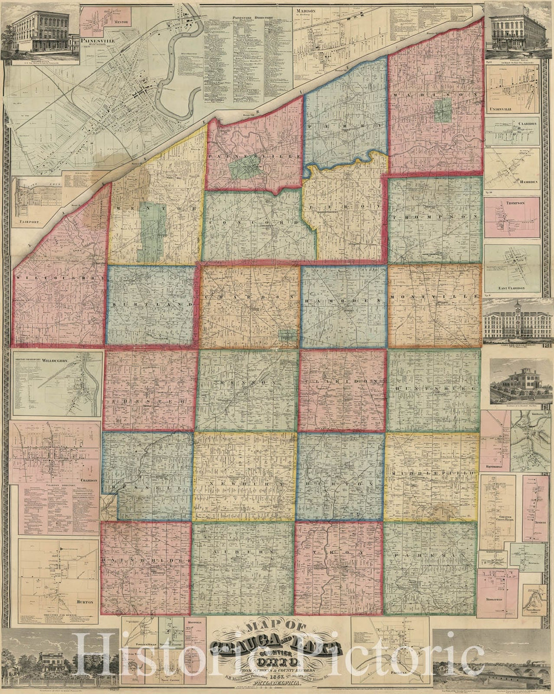
Historic 1857 Map - Map of Geauga and Lake Counties, Ohio
From:
$49.99
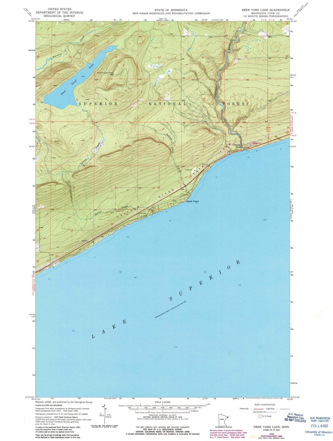
1958 Deer Yard Lake, MN - Minnesota - USGS Topographic Map
From:
$49.99
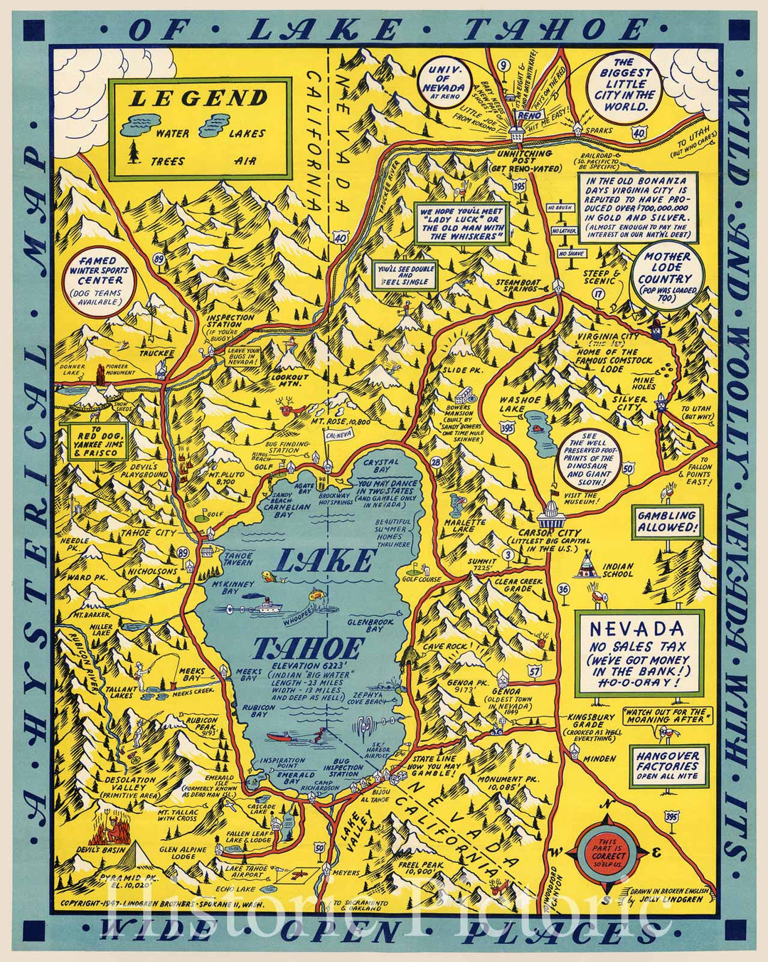
Historic Map - A Hysterical Map Of Lake Tahoe Wild and Woolly Nevada With Its Wide Open Places, 1947, Lindgren Brothers v1
From:
$49.99
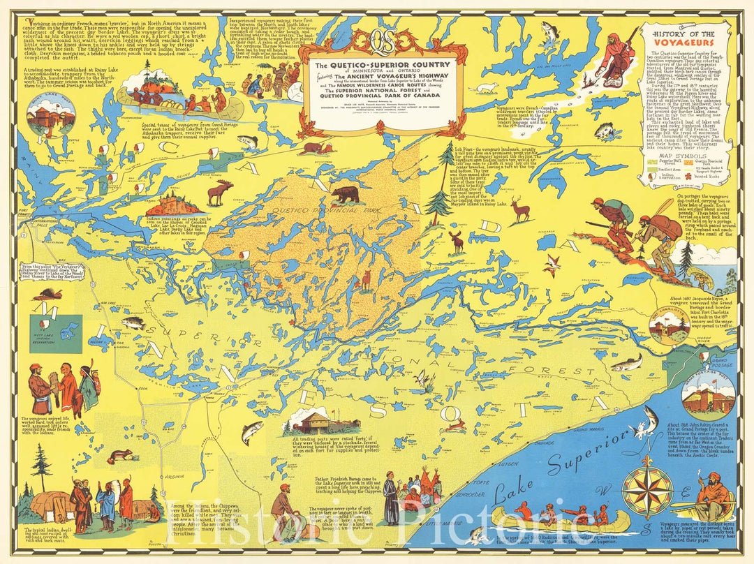
Historic Map : The Quetico-Superior Country of Minnesota and Ontario from Lake Superior to Lake of the Woods and Wilderness Canoe Routes showing, 1949, Vintage Wall Art
From:
$49.99
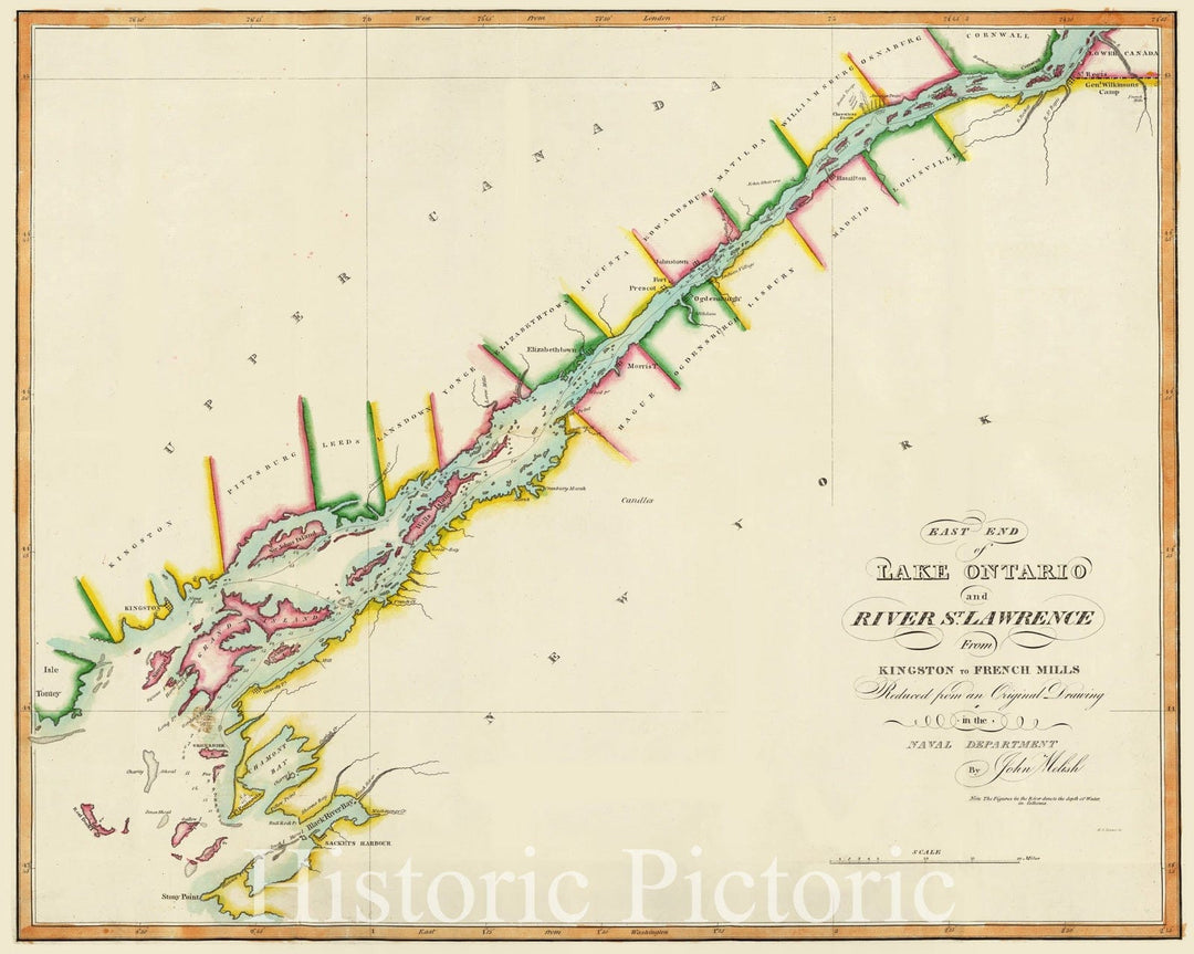
Historic Map : National Atlas - 1815 East End of Lake Ontario and River St Lawrence. - Vintage Wall Art
From:
$49.99
Historic Map - Geology Book, Plate XLVI: Lake Lahontan : a quaternary lake of northwestern Nevad 1885 - Vintage Wall Art
From:
$49.99
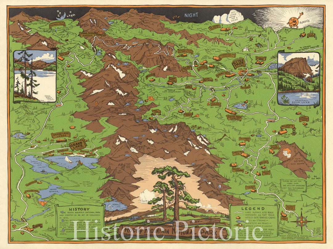
Historic Map : Rocky Mountain National Park, Estes Park, Grand Lake 1948 - Vintage Wall Art
From:
$49.99
Historic Map : Great Northern Recreational Map of Glacier National Park Montana, Waterton Lakes National Park Alberta, 1925 v2
From:
$39.99
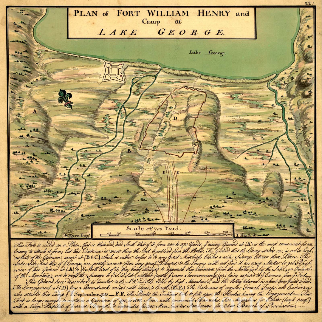
Historical Map, 1755 Plan of Fort William Henry and camp at Lake George, Vintage Wall Art
From:
$34.99
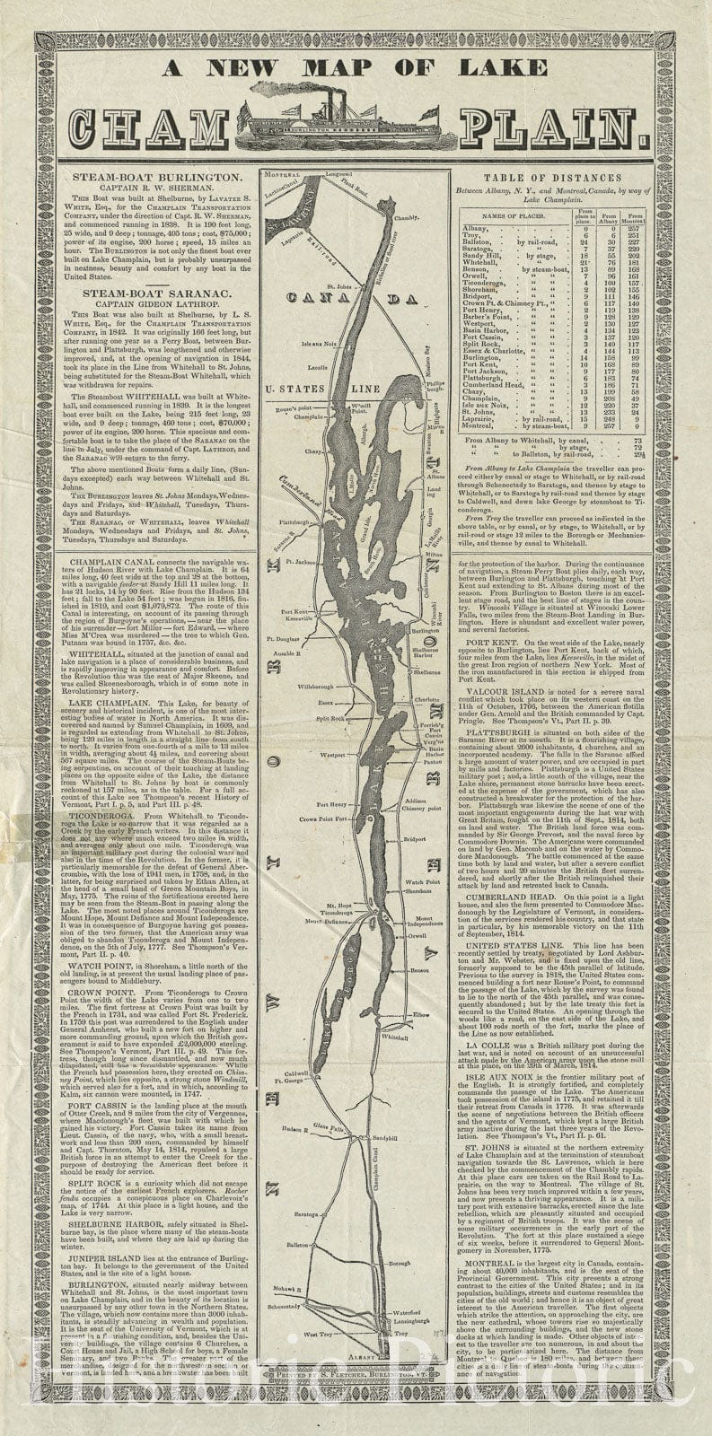
Historical Map, 1845 A New map of Lake Champlain, Vintage Wall Art
From:
$29.99
Historic Map : Bird's eye view, Honey Lake Valley. 1891 - Vintage Wall Art
From:
$49.99
icon-chevron-left
Previous
1
2
3
4
5
…
395
icon-chevron
Next
icon-X
"Close (esc)"
icon-chevron-left
icon-X
icon-chevron
icon-X
Lake Maps, Posters & Prints