Skip to content
icon-X
Close menu
Maps
World Maps
World War 2 Maps
Pictorial Maps
USGS TopoGraphic Maps
Art Prints
Blueprints
Fine Art Museum Collections
Claude Monet
Photographs
Modern Photos
Posters
Collections
Kid's Room
Autos, Trains & Rails
Monet and Manet
Brewery, Beer, Liquor & more
Holiday Ready to Gift Products
Log in
Follow Us
instagram
Instagram
Facebook
twitter
Twitter
Maps
World Maps
World War 2 Maps
Pictorial Maps
USGS TopoGraphic Maps
Art Prints
Blueprints
Fine Art Museum Collections
Claude Monet
Photographs
Modern Photos
Posters
Collections
Kid's Room
Autos, Trains & Rails
Monet and Manet
Brewery, Beer, Liquor & more
Holiday Ready to Gift Products
account
Log in
icon-search
Search
icon-hamburger
Site navigation
icon-bag-minimal
Cart
Search
Search
Free economy shipping for unframed orders of $75 or more!
Filter
icon-X
Close menu
Product type
Geologic Map
(4)
Map
(121)
Topographic Map
(3)
Availability
In stock
(128)
Out of stock
(0)
Price
Massachusetts State Maps
icon-filter
Filter
Historic Map : County Atlas of Middlesex Massachusetts, United States 1875 , Vintage Wall Art
From:
$49.99
Historic Map : The Connecticut Valley in Massachusetts 1910 , Northeast U.S. State & City Maps , Vintage Wall Art
From:
$49.99
Historic Map : Railroad Maps of the United States, Connecticut & Massachusetts & Rhode Island 1848 , Vintage Wall Art
From:
$39.99
Map : Massachusetts 1930, Map of Massachusetts, the Old Bay State : a picture history map , Antique Vintage Reproduction
From:
$49.99
Map : Massachusetts 1960, Historic Massachusetts, a travel map to help you feel at home in the Bay State , Antique Vintage Reproduction
From:
$49.99
Map : Massachusetts 1919, National Highways map of the State of Massachusetts : showing twelve hundred miles of national highways, Antique Vintage Reproduction
From:
$49.99
Map : Georges Bank, Massachusetts, United States--east coast, Georges Bank, western part : special chart for fishing industry , Antique Vintage Reproduction
From:
$49.99
Map : Maps showing bottom sediments on the continental shelf of the northeastern United States - Cape Ann, Massachusetts to Casco Bay, Maine, 1975 Cartography Wall Art :
From:
$49.99
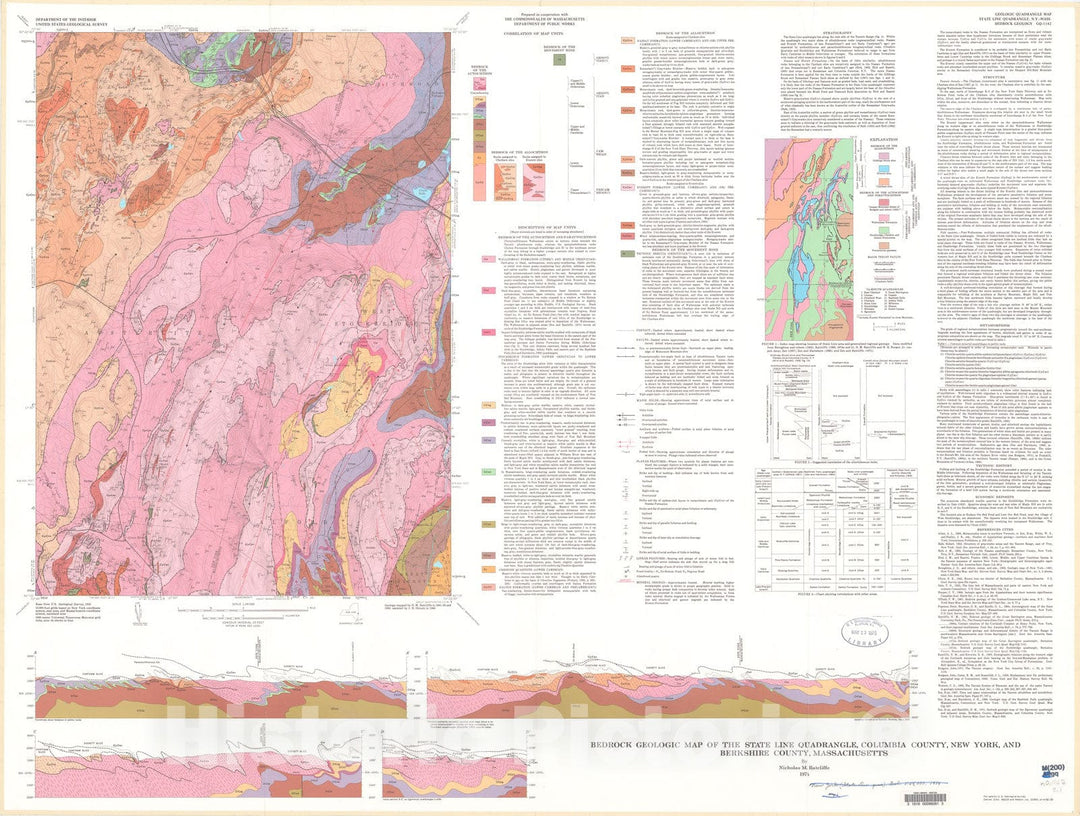
Map : Bedrock geologic map of the State Line quadrangle, Columbia County, New York, and Berkshire County, Massachusetts, 1974 Cartography Wall Art :
From:
$49.99
Map : Bottom sediments on the continental shelf off the northeastern United States-Cape Cod to Cape Ann Massachusetts, 1973 Cartography Wall Art :
From:
$49.99
Map : Preliminary materials map, Massachusetts portion of the State Line quadrangle, Massachusetts - New York, 1963 Cartography Wall Art :
From:
$34.99
Historic 1861 Map - Topographical map of The State of Massachusetts
From:
$49.99
Historic 1818 Map - Plan of Charlestown Peninsula in The State of Massachusetts
From:
$49.99
Historic 1814 Map - Map of Boston in The State of Massachusetts : 1814
From:
$49.99
Historic 1899 Map - Map of The Electric Railways of The State of Massachusetts accompanying The Report of The Railroad commissioners, 1899.
From:
$49.99
Historic 1858 Map - Map of Franklin County, Massachusetts : Based on The Trigonometrical Survey of The State : Details from Original surveys
From:
$49.99
Historic 1849 Map - A map of The New England States, Maine, New Hampshire, Vermont, Massachusetts, Rhode Island & Connecticut with The Adjacent Parts of New York & Lower Canada
From:
$49.99
Historic 1971 Map - States of Massachusetts, Rhode Island, and Connecticut : Base map
From:
$49.99
Historic 1846 Map - Sketch of The States of Massachusetts, Connecticut, and Rhode Island, and Parts of New Hampshire & New York exhibiting The Several Rail Road Routes Completed
From:
$29.99
icon-chevron-left
Previous
1
2
3
4
…
7
icon-chevron
Next
icon-X
"Close (esc)"
icon-chevron-left
icon-X
icon-chevron
icon-X
Massachusetts State Wall Maps, Posters & Prints