Skip to content
icon-X
Close menu
Maps
World Maps
World War 2 Maps
Pictorial Maps
USGS TopoGraphic Maps
Art Prints
Blueprints
Fine Art Museum Collections
Claude Monet
Photographs
Modern Photos
Posters
Collections
Kid's Room
Autos, Trains & Rails
Monet and Manet
Brewery, Beer, Liquor & more
Holiday Ready to Gift Products
Log in
Follow Us
instagram
Instagram
Facebook
twitter
Twitter
Maps
World Maps
World War 2 Maps
Pictorial Maps
USGS TopoGraphic Maps
Art Prints
Blueprints
Fine Art Museum Collections
Claude Monet
Photographs
Modern Photos
Posters
Collections
Kid's Room
Autos, Trains & Rails
Monet and Manet
Brewery, Beer, Liquor & more
Holiday Ready to Gift Products
account
Log in
icon-search
Search
icon-hamburger
Site navigation
icon-bag-minimal
Cart
Search
Search
Free economy shipping for unframed orders of $75 or more!
Filter
icon-X
Close menu
Product type
Geologic Map
(4)
Map
(121)
Topographic Map
(3)
Availability
In stock
(128)
Out of stock
(0)
Price
Massachusetts State Maps
icon-filter
Filter
Historical Map, Post Route map of The States of New Hampshire, Vermont, Massachusetts, Rhode Island, Connecticut and Parts of New York and Maine, Vintage Wall Art
From:
$49.99
Historical Map, 1866 Post Route map of The States of New Hampshire, Vermont, Massachusetts, Rhode Island, Connecticut, and Parts of New York and Maine, Vintage Wall Art
From:
$49.99
Historic Map : Map of the Railroads of the State of Massachusetts. Accompanying the report of the Railroad Commission., c. 1903 , Vintage Wall Art
From:
$49.99
Historical Map, 1879 Map of Boston in The State of Massachusetts, Vintage Wall Art
From:
$49.99
Historical Map, 1853 Map of Norfolk County, Massachusetts : Based Upon The Trigonometrical Survey of The State, Vintage Wall Art
From:
$49.99
Historical Map, 1858 Map of The County of Norfolk, Massachusetts : Based Upon The Trigonometrical Survey of The State, Vintage Wall Art
From:
$34.99
Historical Map, 1860 Map of The County of Hampshire, Massachusetts : Based Upon The Trigonometrical Survey of The State, Vintage Wall Art
From:
$34.99
Historical Map, 1872 Post route map of the states of New Hampshire, Vermont, Massachusetts, Rhode Island, Connecticut, and parts of New York and Maine, Vintage Wall Art
From:
$49.99
Historical Map, Bird's Eye View of The Town of Nantucket in The State of Massachusetts : Looking Southwest : 1881, Vintage Wall Art
From:
$49.99
Historical Map, National map of New England States Vermont, New Hampshire, Massachusetts, Connecticut, Rhode Island and Maine Showing Counties in, Vintage Wall Art
From:
$49.99
Historical Map, 1831 Map of The States of Maine, New Hampshire, Vermont, Massachusetts, Connecticut & Rhode Island, Vintage Wall Art
From:
$49.99
Historical Map, 1834 A map of The New England States : Maine, New Hampshire, Vermont, Massachusetts, Rhode Island & Connecticut, with Parts of New York & Lower Canada, Vintage Wall Art
From:
$49.99
Historical Map, 1857 Map of Worcester County, Massachusetts : based upon the trigonometrical survey of the state, Vintage Wall Art
From:
$34.99
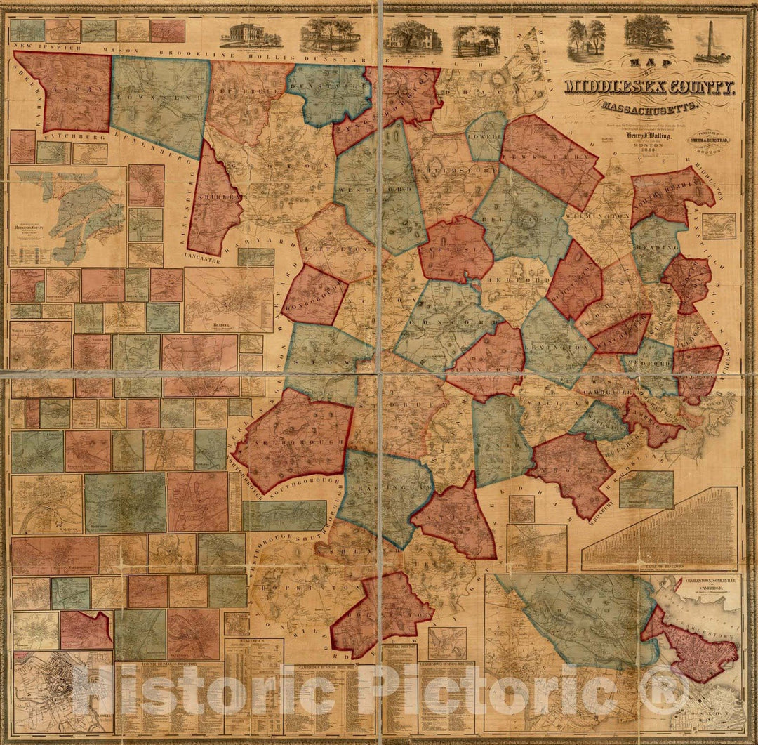
Historical Map, 1856 Map of Middlesex County, Massachusetts : Based Upon The Trigonometrical Survey of The State, Vintage Wall Art
From:
$34.99
icon-chevron-left
Previous
1
…
5
6
7
icon-X
"Close (esc)"
icon-chevron-left
icon-X
icon-chevron
icon-X
Massachusetts State Wall Maps, Posters & Prints