Skip to content
icon-X
Close menu
Maps
World Maps
World War 2 Maps
Pictorial Maps
USGS TopoGraphic Maps
Art Prints
Blueprints
Fine Art Museum Collections
Claude Monet
Photographs
Modern Photos
Posters
Collections
Kid's Room
Autos, Trains & Rails
Monet and Manet
Brewery, Beer, Liquor & more
Holiday Ready to Gift Products
Log in
Follow Us
instagram
Instagram
Facebook
twitter
Twitter
Cart
icon-X
Close cart
Your cart is currently empty.
Maps
World Maps
World War 2 Maps
Pictorial Maps
USGS TopoGraphic Maps
Art Prints
Blueprints
Fine Art Museum Collections
Claude Monet
Photographs
Modern Photos
Posters
Collections
Kid's Room
Autos, Trains & Rails
Monet and Manet
Brewery, Beer, Liquor & more
Holiday Ready to Gift Products
account
Log in
icon-search
Search
icon-hamburger
Site navigation
icon-bag-minimal
Cart
Search
Search
Free economy shipping for unframed orders of $75 or more!
Filter
icon-X
Close menu
Product type
Architectural Blueprint
(1)
Geologic Map
(33)
Map
(1257)
Topographic Map
(23)
Availability
In stock
(1314)
Out of stock
(0)
Price
Ocean Maps
icon-filter
Filter
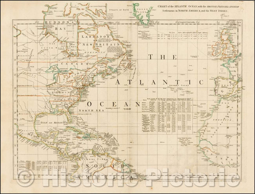
Historic Map - Chart of the Atlantic Ocean, with the British, French & Spanish Settlements in North America, and the West Indies, 1753, Thomas Jefferys - Vintage Wall Art
From:
$49.99
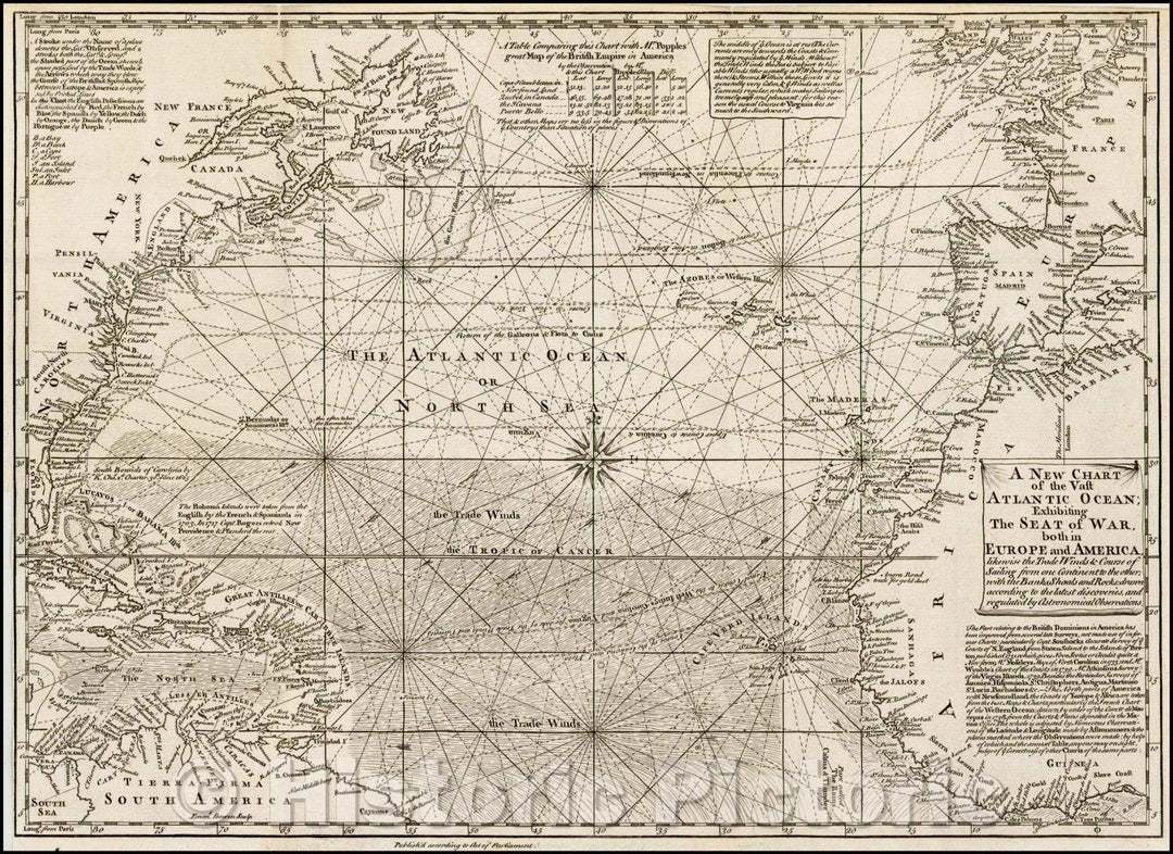
Historic Map - A New Chart of the Vast Atlantic Ocean; Exhibiting The Seat of War both in Europe and America, likewise the Trade Winds & Course of Saling, 1755 v1
From:
$49.99
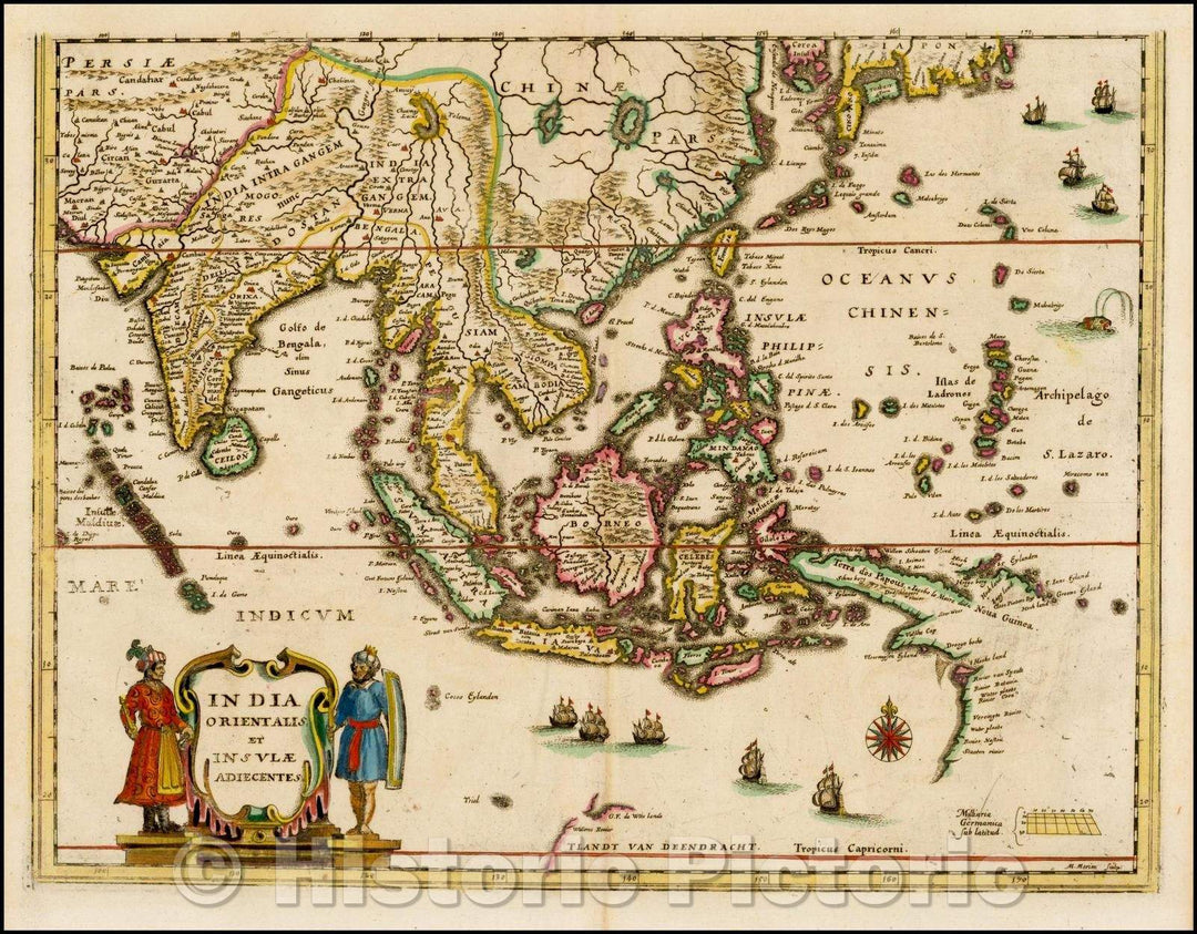
Historic Map - India Orientalis et Insulae Adiecentes/Map of Southeast Asia, China, India, the Philippines and western Oceana, 1638, Matthaus Merian - Vintage Wall Art
From:
$49.99
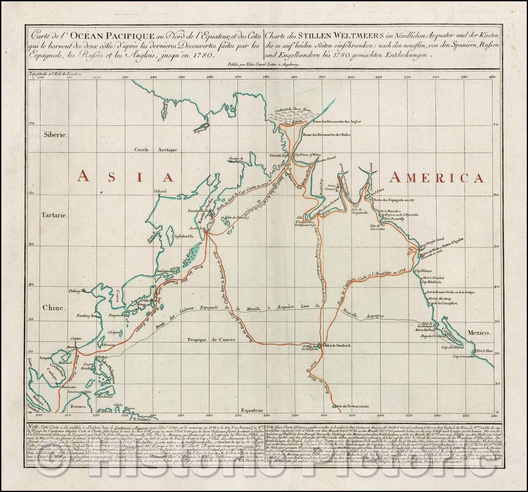
Historic Map - Carte de l'Ocean Pacifique au Nord de l'Equateur d'Apres les dernieres/Map of the Northern Pacific and coasts of Asia & America, 1781 - Vintage Wall Art
From:
$34.99
Historic Map - Carte Reduite De La Mer Des Indes Et De La Partie Occidentale du Grand Ocean :: Chart of the Indian Ocean, Australia and the East Coast of Asia, 1803 - Vintage Wall Art
From:
$49.99
Historic Map - Canadian Pacific Railway and Steamships Span the World : Bridging Two Oceans and Linking Four Continents, 1923, Matthews-Nortrup & Co. - Vintage Wall Art
From:
$29.99
Historic Map - Pacific Ocean, 1851, John Arrowsmith - Vintage Wall Art
From:
$49.99
Historic Map - Oceana or Pacific Ocean, 1835, Henry Schenk Tanner - Vintage Wall Art
From:
$49.99
Historic Map - Polynesia, or Islands In the Pacific Ocean, 1840, SDUK - Vintage Wall Art
From:
$49.99
Historic Map - Iles Sandwich Oceanique No. 3. / Map of Hawaii, from Vandermaelen's seminal Atlas, 1827, Philippe Marie Vandermaelen - Vintage Wall Art
From:
$29.99
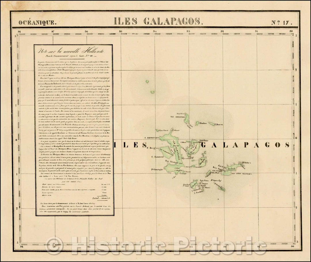
Historic Map - Iles Galapagos. Oceanique, 1825, Philippe Marie Vandermaelen v1
From:
$49.99
Historic Map - A New Chart of the Gulf or Bay of Bengal with Part of the Indian Ocean as far as the Line, 1797, Laurie & Whittle - Vintage Wall Art
From:
$29.99
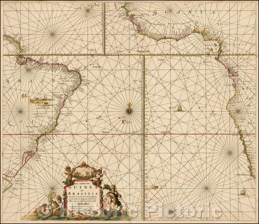
Historic Map - Pascaarte vande Zee custen van Guinea, en Brasilia; van Cabo de :: Sea Chart of Brazil, West Coast of Africa, South Atlantic Ocean, 1680 - Vintage Wall Art
From:
$49.99
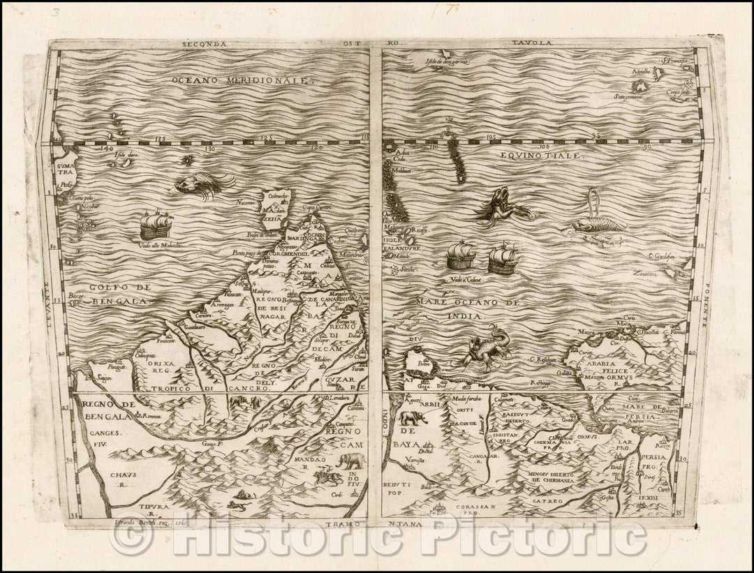
Historic Map - Seconda Tavola Indian Ocean, India, Arabia, Maldives, Persia, Pakistan, 1565, Ferrando Bertelli - Vintage Wall Art
From:
$49.99
Historic Map - Spatiosissimum Imperium Russiae Magnae juxta recentissimas/Map of the entire Empire of Russia, extending to the Pacific Ocean, 1760 - Vintage Wall Art
From:
$49.99
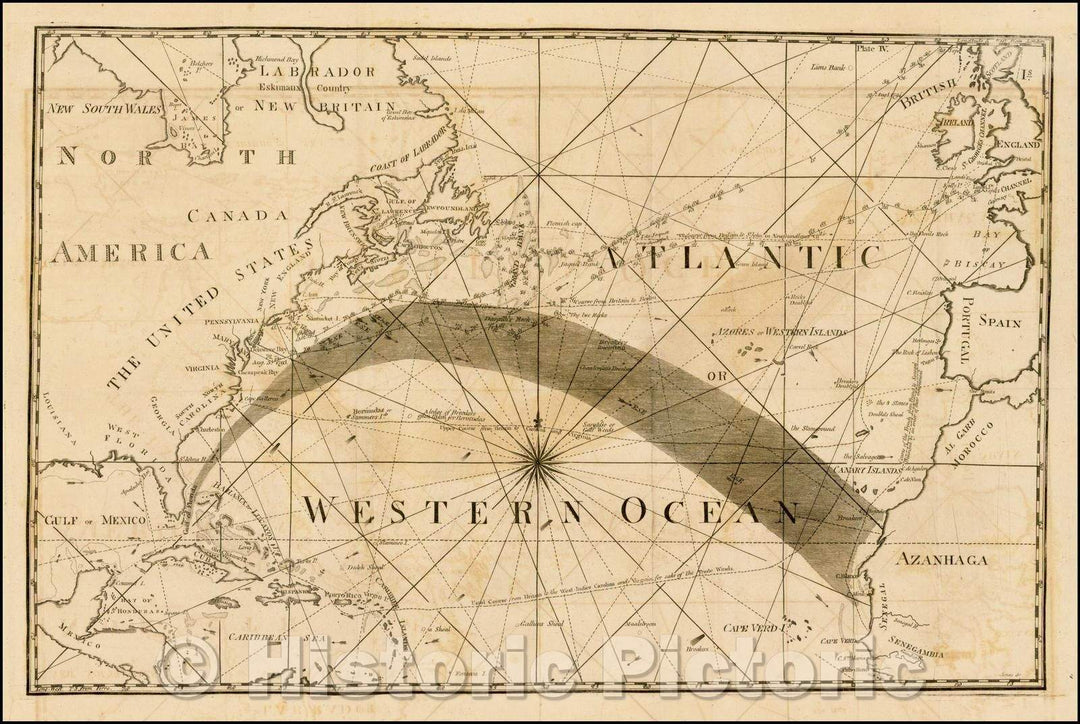
Historic Map - Gulf Stream Map - Atlantic or Western Ocean, 1799, American Philosophical Society - Vintage Wall Art
From:
$49.99
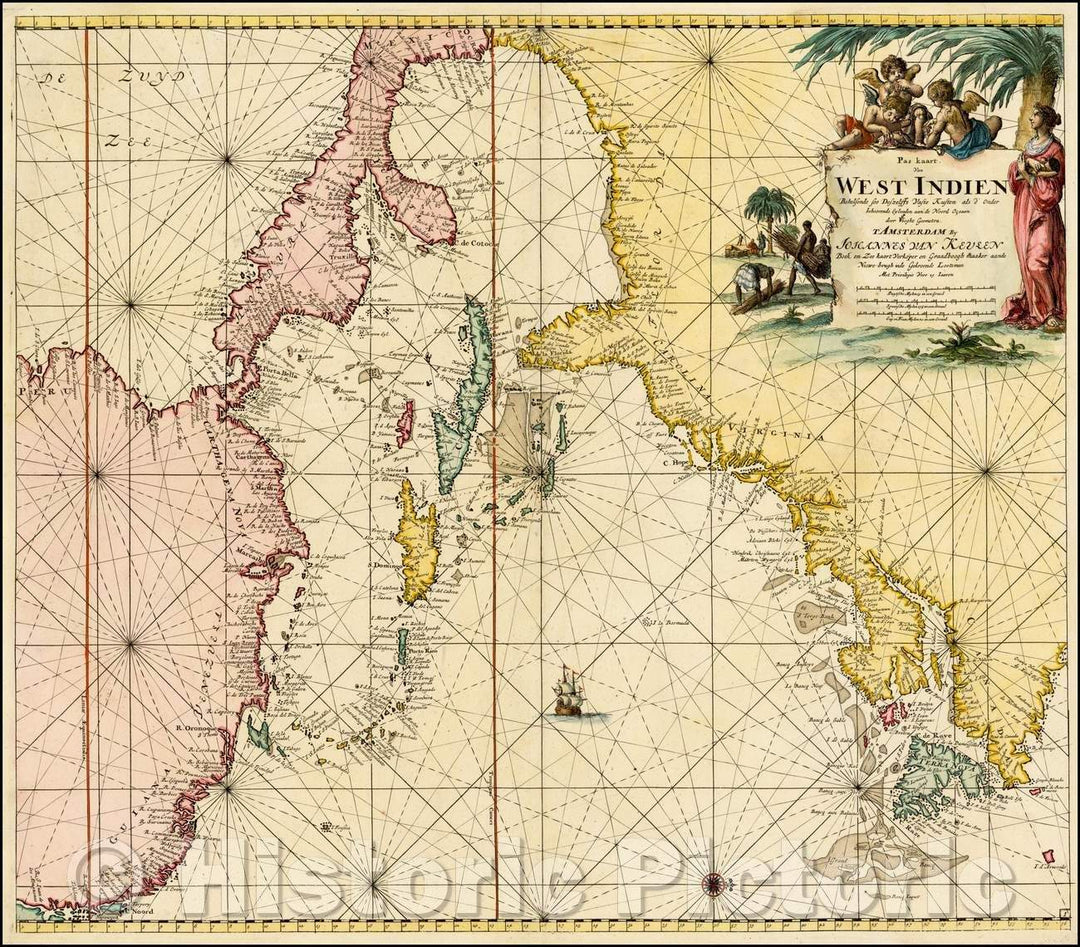
Historic Map - Pas Kaart Van West Indien Behelsende soo Deszelffs Vaste Kusten als d'Onder/Coastline of the Western Atlantic Ocean,Canada to Venezuela, 1687 - Vintage Wall Art
From:
$29.99
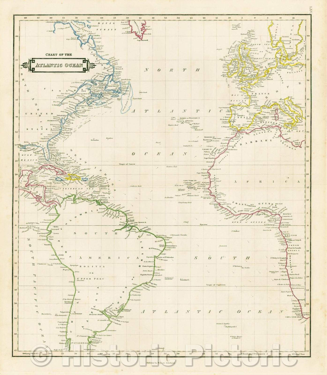
Historic Map - Chart of the Atlantic Ocean, 1838, William Home Lizars - Vintage Wall Art
From:
$49.99
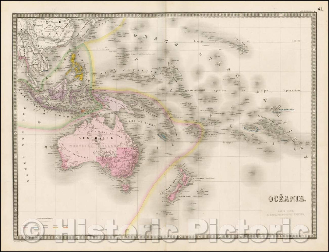
Historic Map - Oceanie. Paris -, 1860, J. Andriveau-Goujon v2
From:
$49.99
icon-chevron-left
Previous
1
…
33
34
35
36
37
…
70
icon-chevron
Next
icon-X
"Close (esc)"
icon-chevron-left
icon-X
icon-chevron
icon-X
Ocean Wall Maps, Posters & Prints