Skip to content
icon-X
Close menu
Maps
World Maps
World War 2 Maps
Pictorial Maps
USGS TopoGraphic Maps
Art Prints
Blueprints
Fine Art Museum Collections
Claude Monet
Photographs
Modern Photos
Posters
Collections
Kid's Room
Autos, Trains & Rails
Monet and Manet
Brewery, Beer, Liquor & more
Holiday Ready to Gift Products
Log in
Follow Us
instagram
Instagram
Facebook
twitter
Twitter
Cart
icon-X
Close cart
Your cart is currently empty.
Maps
World Maps
World War 2 Maps
Pictorial Maps
USGS TopoGraphic Maps
Art Prints
Blueprints
Fine Art Museum Collections
Claude Monet
Photographs
Modern Photos
Posters
Collections
Kid's Room
Autos, Trains & Rails
Monet and Manet
Brewery, Beer, Liquor & more
Holiday Ready to Gift Products
account
Log in
icon-search
Search
icon-hamburger
Site navigation
icon-bag-minimal
Cart
Search
Search
Free economy shipping for unframed orders of $75 or more!
Filter
icon-X
Close menu
Product type
Architectural Blueprint
(1)
Geologic Map
(33)
Map
(1257)
Topographic Map
(23)
Availability
In stock
(1314)
Out of stock
(0)
Price
Ocean Maps
icon-filter
Filter
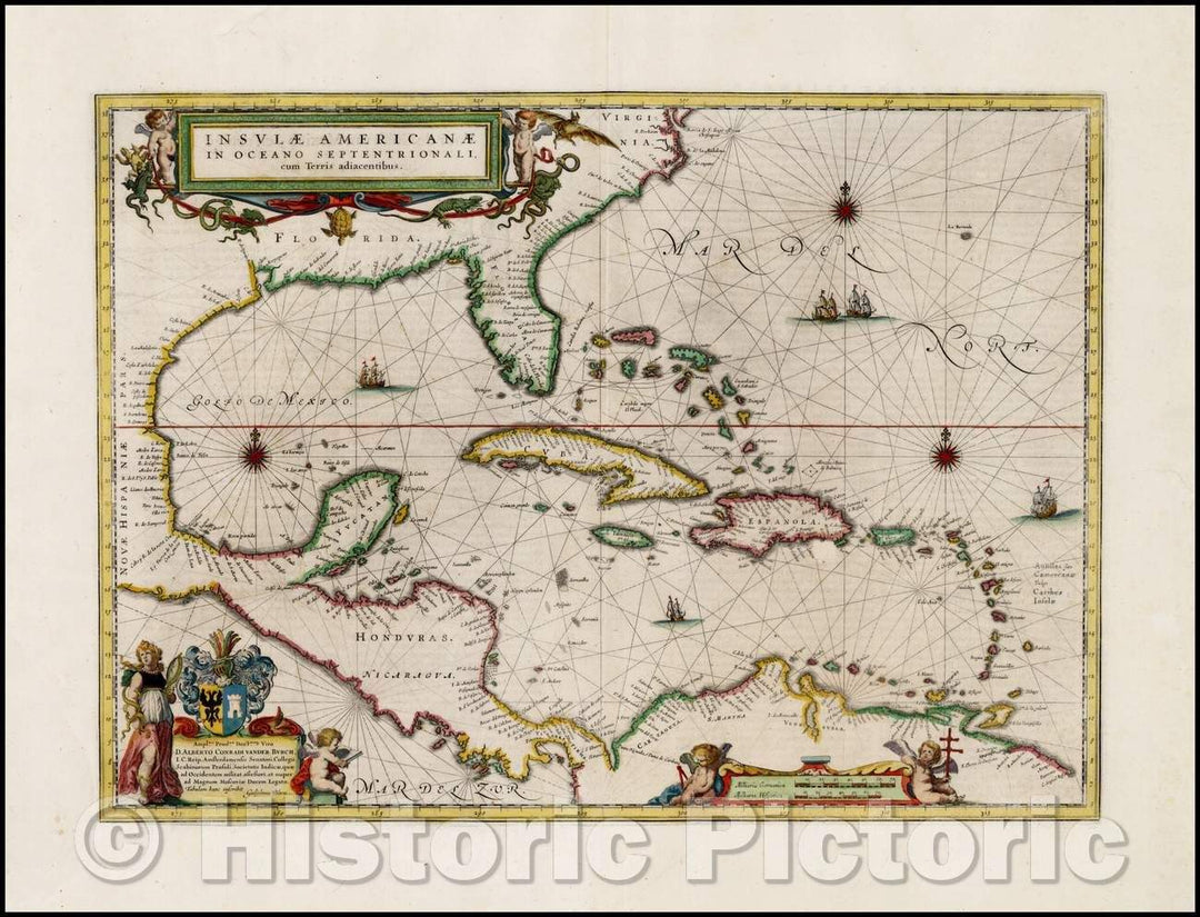
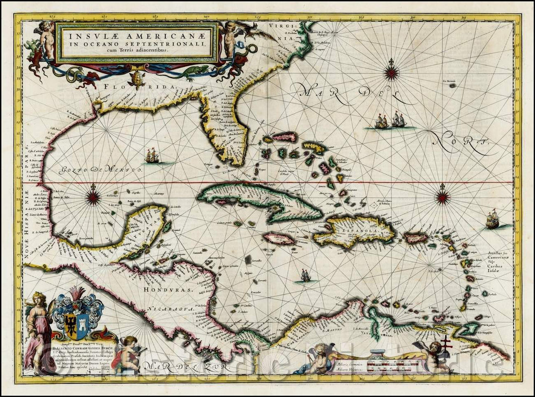
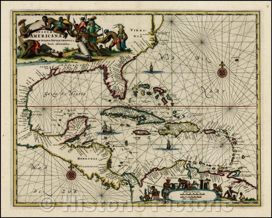
Historic Map - Insulae Americanae in Oceano Septentrionali cum Terris adiacentibus, 1635, Willem Janszoon Blaeu v1
From:
$49.99
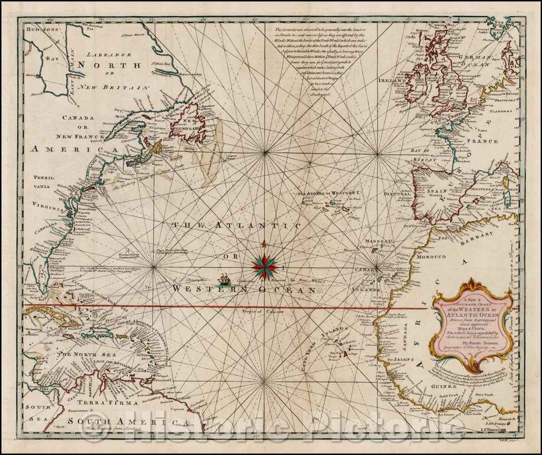
Historic Map - A New & Accurate Chart of the Western or Atlantic Ocean, 1744, Emanuel Bowen - Vintage Wall Art
From:
$49.99
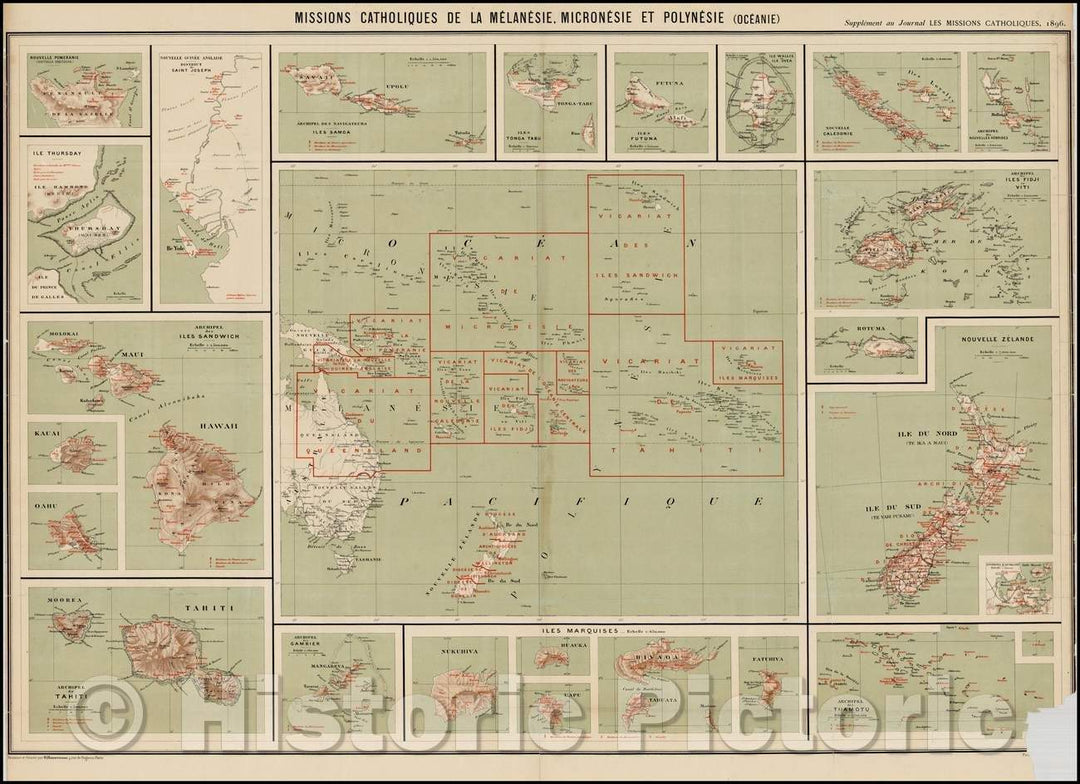
Historic Map - Missions Catholiques De La Melanesie, Micronesie et Polynesie Oceanie, 1896, Journal Les Missions Catholiques - Vintage Wall Art
From:
$49.99
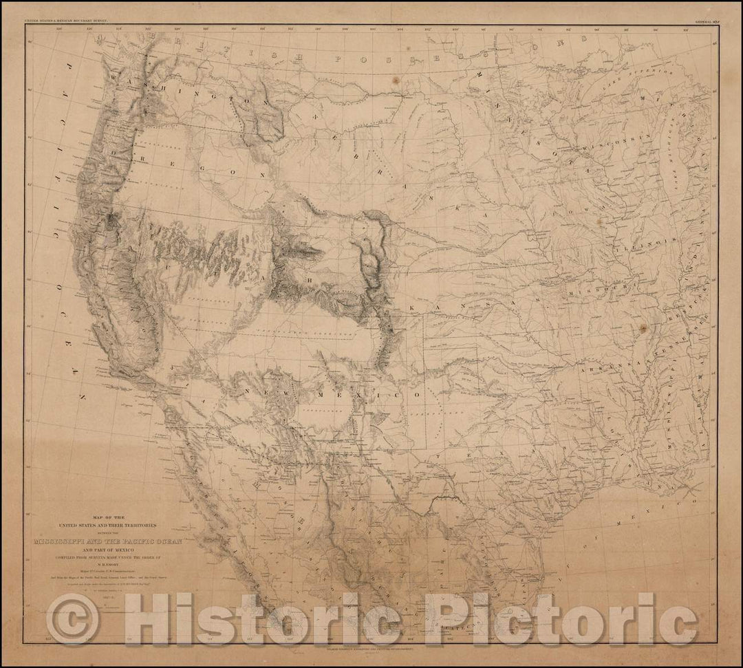
Historic Map - Map of the United States and Their Territories Between the Mississippi and the Pacific Ocean and Part of Mexico, 1858, William Hemsley Emory v1
From:
$29.99
Historic Map - Insulae Americanae in Oceano Septentrionali cum Terris adiacentibus, 1640, Willem Janszoon Blaeu - Vintage Wall Art
From:
$49.99
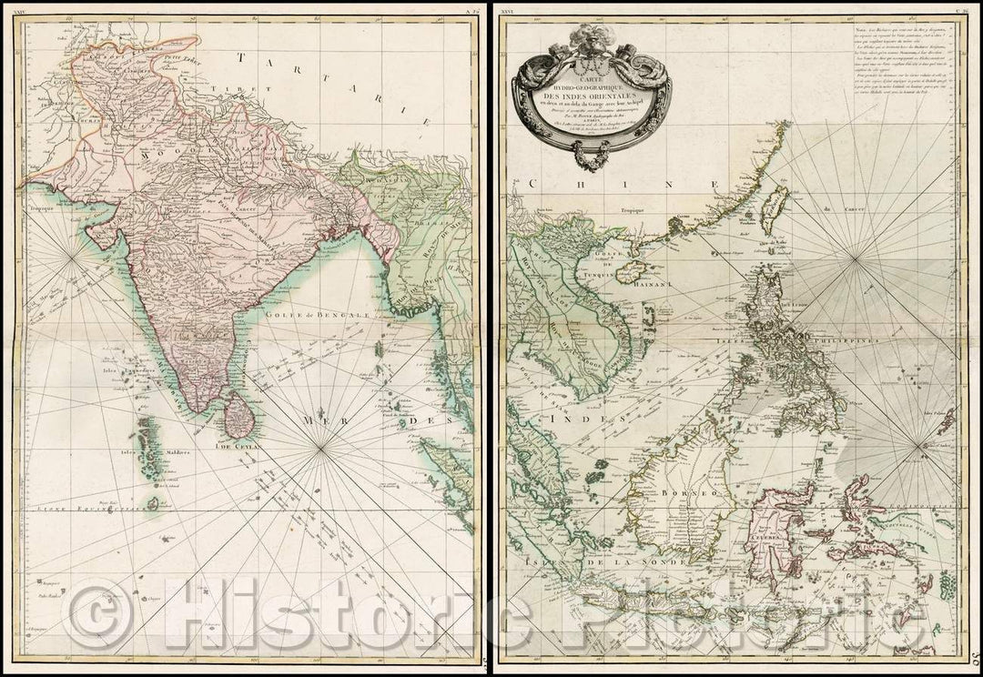
Historic Map - Carte Hydro-Geo-Graphique Des Indies Orientales en deca :: Southeast Asia and the Indian Ocean, Seasonal currents with in the India Ocean, 1771 - Vintage Wall Art
From:
$49.99
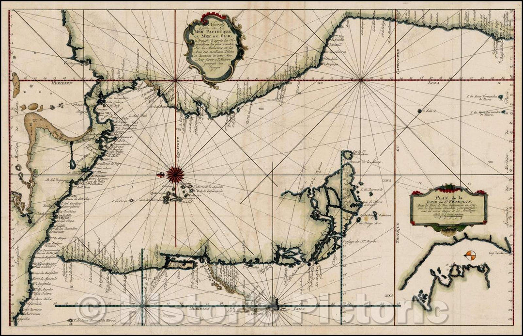
Historic Map - Nouvelle Carte de la Mer Pacifique ou Mer du Sud/New Map of the Pacific Ocean or South Wed, 1750, Jacques Nicolas Bellin - Vintage Wall Art
From:
$49.99
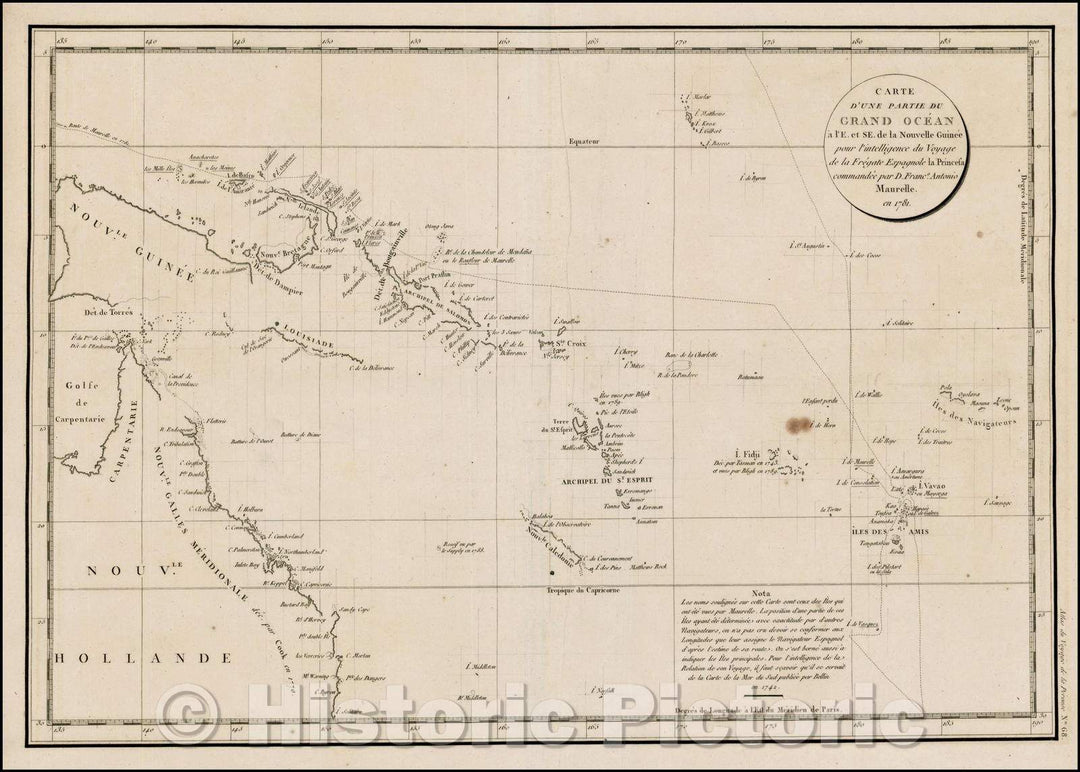
Historic Map - Carte D'Une Partie Du Grand Ocean a l'E. et S.E. de la Nouvelle Guinee pou :: Grand Ocean has E. and HE New Guinea, 1797 - Vintage Wall Art
From:
$49.99
Historic Map - Madgascar & Indian Ocean - Untitled Globe Gores), 1751, Johann Friedrich Endersch - Vintage Wall Art
From:
$49.99
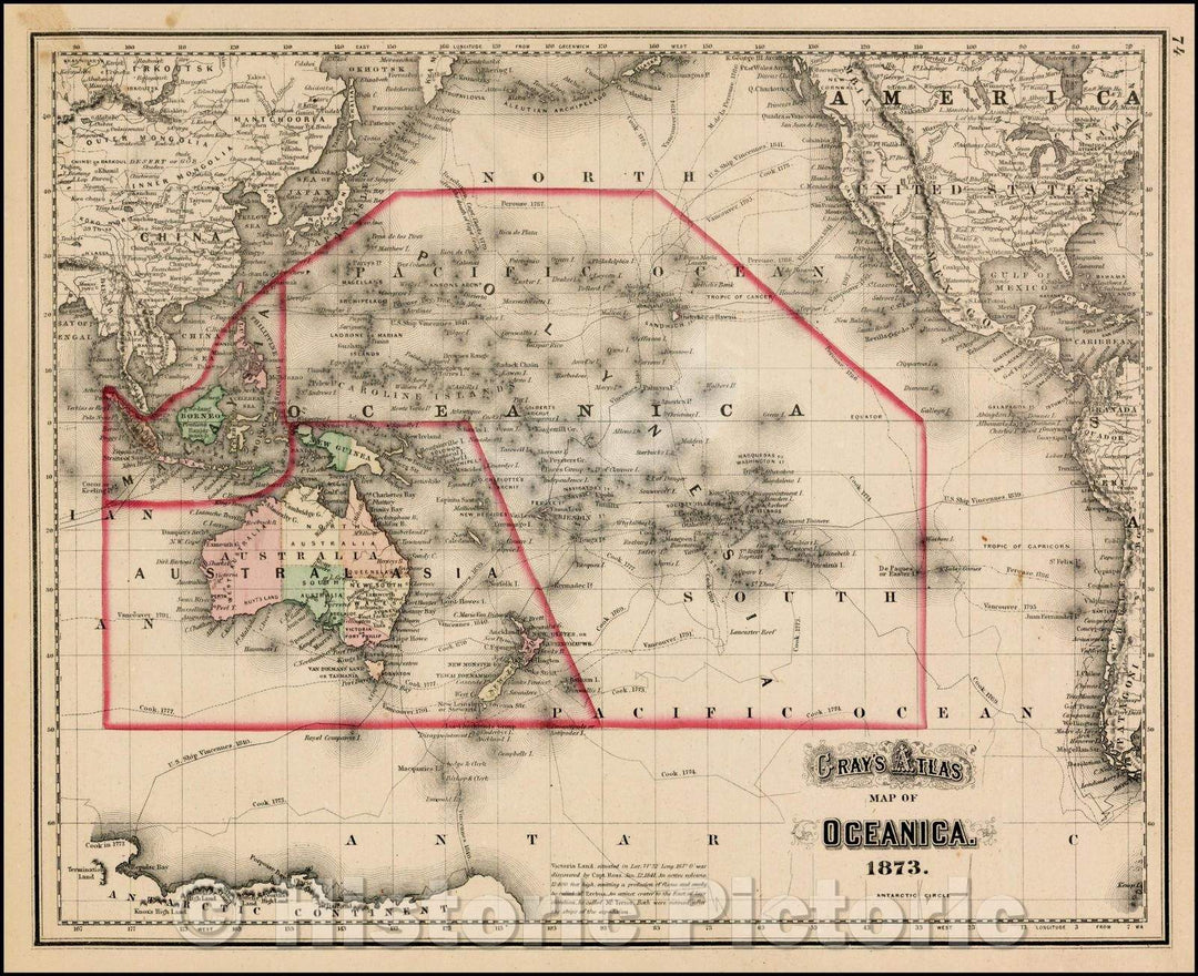
Historic Map - Gray's Map of Oceanica, 1873, O.W. Gray v1
From:
$49.99
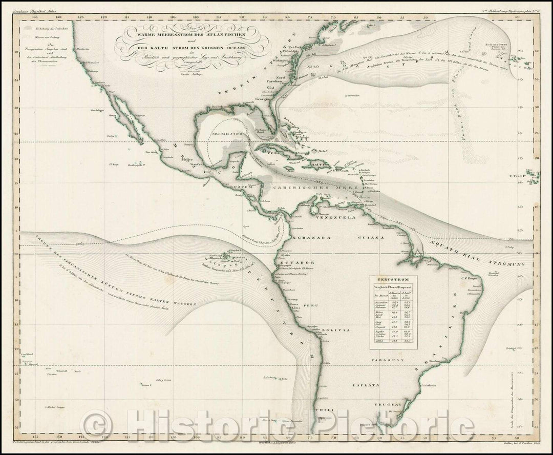
Historic Map - Der Warme Meeresstrom Des Atlantischen und Der Kalte Strom Des Grossen Oceans in Par/Chart of the warm Atlantic current,Pacific currents, 1848 - Vintage Wall Art
From:
$49.99
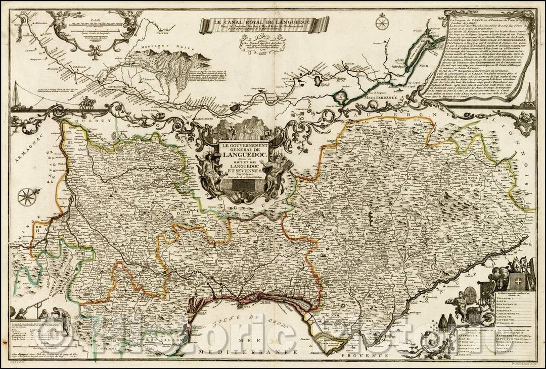
Historic Map - Le Canal Royal De Languedoc Pour la Jonction des desu Mers Ocean :: showing the Canal du Midi, biggest canal projects of the 18th Century, 1722 - Vintage Wall Art
From:
$49.99
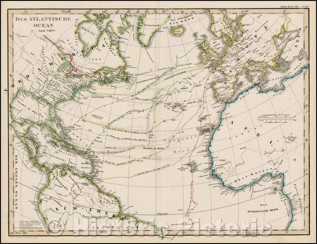
Historic Map - Der Atlantische Ocean/Map of hte Atlantic, showing a number of routes across the Atlantic, 1859, Adolf Stieler - Vintage Wall Art
From:
$49.99
Historic Map - Insulae Americanae in Oceano Septentrionali cum Terris adiacentibus, 1671, John Ogilby v1
From:
$49.99
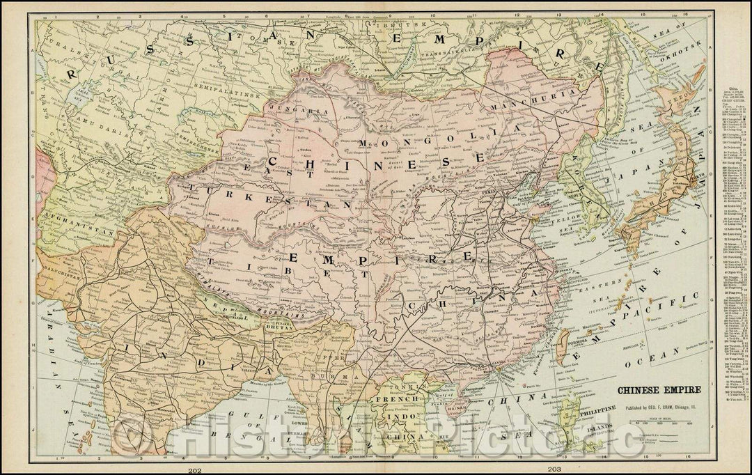
Historic Map - Chinese Empire (including Trans Oceanic Cables to Hong Kong,etc.), 1895, George F. Cram - Vintage Wall Art
From:
$49.99
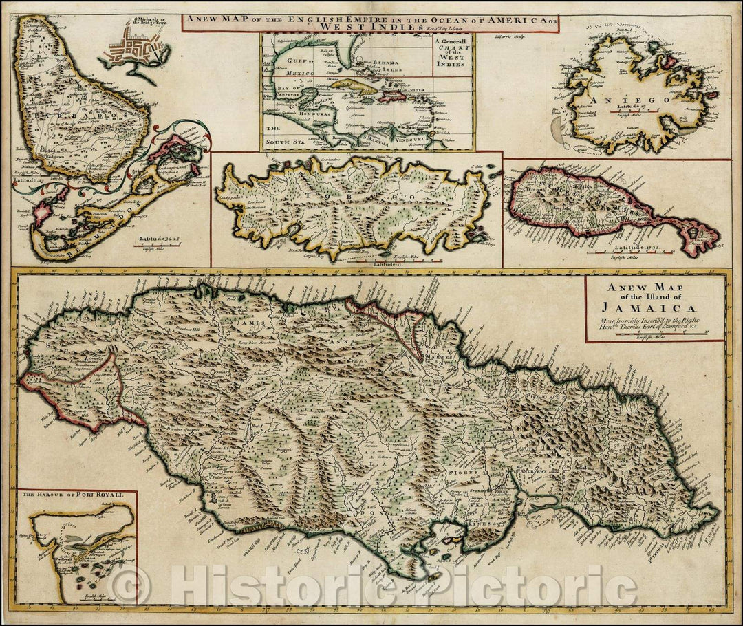
Historic Map - The English Empire in the Ocean of America or West Indies (Jamaica,Port Royal, Bermuda, Barbados, Bridgetown, Tobago, Antigua, St. Christ, 1721 v1
From:
$49.99
Historic Map - Pacific Ocean, 1856, Sidney Morse - Vintage Wall Art
From:
$49.99
Historic Map - Map of Oceania and Malaysia, 1892, William Rand - Vintage Wall Art
From:
$49.99
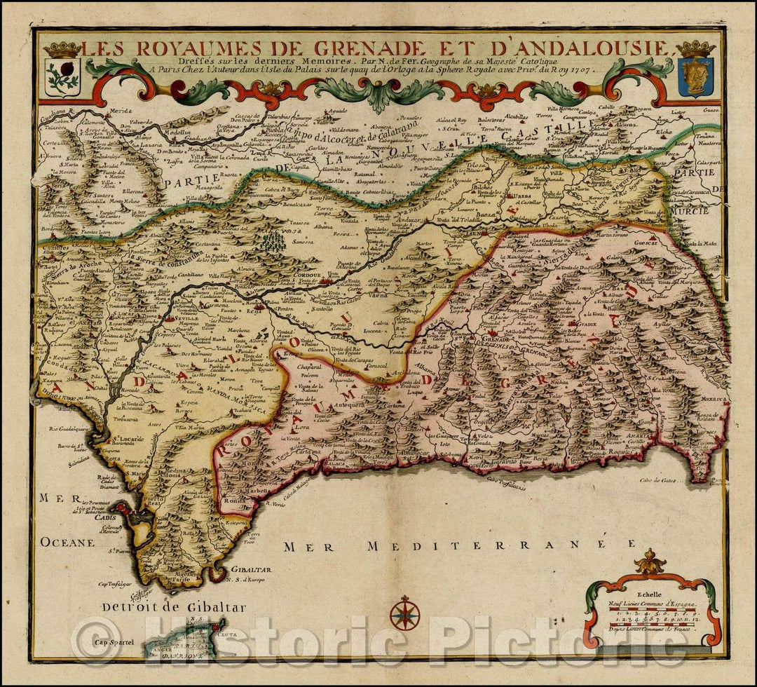
Historic Map - Le Royaumed De Grenade et D'Andalouisie/Map of Region, with details of cities, rivers, land masses, and oceans, 1707, Nicolas de Fer - Vintage Wall Art
From:
$29.99
icon-chevron-left
Previous
1
…
35
36
37
38
39
…
70
icon-chevron
Next
icon-X
"Close (esc)"
icon-chevron-left
icon-X
icon-chevron
icon-X
Ocean Wall Maps, Posters & Prints