


A beautiful example of Bellin's c. 1750 map of the Kuril Islands. The Kuril Islands or Kurile Islands are a volcanic archipelago that stretches approximately 1,300 km (810 mi) northeast from Hokkaido, Japan, to Kamchatka, Russia, separating the Sea of Okhotsk from the North Pacific Ocean. Traditionally the Kuriles are part of Japan however have been under Russian control since World War II. Today there is an ongoing dispute between Japan and Russia over which country has jurisdiction over the southernmost four islands in the Kuril archipelago. Cartographically this map is based on a larger map of Russia composed by Laurent several years previous. Prepared by J. Bellin for Abbe Provost's L`Histoire Generale des Voyages .
Wow Factor
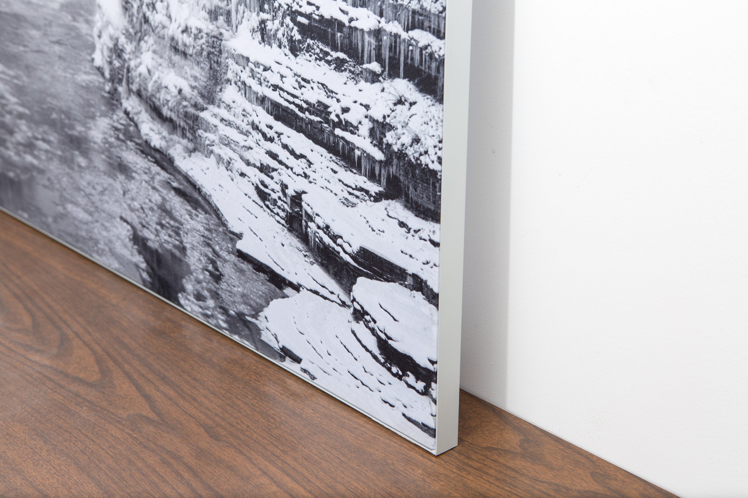
The image is printed on a durable fabric, which is stretched inside a slim aluminum frame. It’s transportable, interchangeable, and easy to assemble. Our infinity frame pieces for large sized prints will lend a “wow” factor to your space.

The colors in our fabric prints are crisp and true to life, with a matte, glare-free finish. With our printing process, the colors permeate the fabric, rather than settling on top, which reduces the risk of scratching or fading. Your art will last a long time!
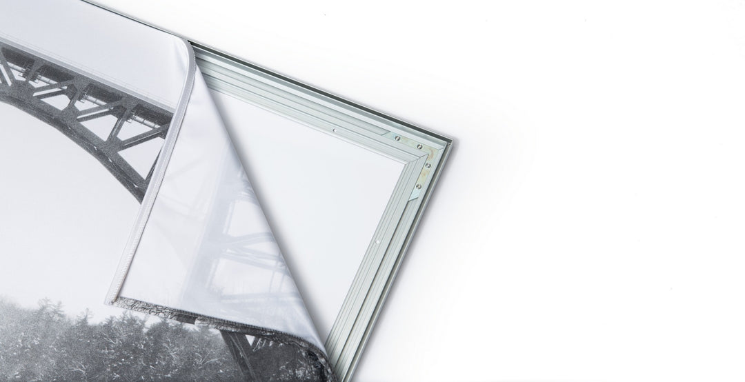
Assemble the frame in minutes, insert the fabric print into the grooves, and your art is ready to hang!

Easy and modern way to display large art in your home or office
