-
-


-
Wall Color
in
Uncheck to hide the white line Check to show the white line -
-
.


Frame
Room
Gallery
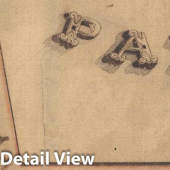
Historic Map : Manuscript Survey Map of Commodore Berry Park, Near Navy Yard, Brooklyn, New York, 1836, Vintage Wall Art
Historic Map : Manuscript Survey Map of Commodore Berry Park, Near Navy Yard, Brooklyn, New York, 1836, Vintage Wall Art
Note: Sold out or unavailable
Couldn't load pickup availability
This is a one-of-a-kind manuscript survey map of parts of Brooklyn, New York, located near Commodore Barry Park and the Brooklyn Navy Yard. The map covers land surrounding the park from Jackson Street to Division Street and From Nassau Street to Tillary Street. Although the park, today's Commodore Perry Park, here just 'City Park' still exists many of the other streets have since been eliminated. Navy Street, which appears prominently here, remains. Jackson street is no more, but Concord and Nassau still intersect after which Nassau becomes Flushing Avenue. Similarly, what is here labeled Tillary Street is on our map, Park Avenue. The Park itself is much larger today than it was when this map was drawn. This map was drawn by the city of Brooklyn surveyor B. Tolford to reconcile the inheritance of James B. Clarke, here shaded in light blue. The provenance of this map is unclear, but it was clearly part of a larger collection, possibly in a surveyor's office.
- MUSEUM QUALITY INKS AND PAPER: Printed on thick 192gsm heavyweight matte paper with archival giclee inks, this historic fine art will decorate your wall for years to come.
- VINTAGE MAP REPRODUCTION: Add style to any room's decor with this beautiful print. Whether your interior design is modern or classic, a map is never out of fashion.
- ATTENTION TO DETAIL: We edit every antique map for image quality, color and vibrance, so it can look its best while retaining historical character. Makes a great gift!
- FRAME READY: Your unframed poster will arrive crease-free, rolled in a sturdy mailing tube. Many maps fit easy-to-find standard size frames 16x20, 16x24, 18x24, 24x30, 24x36, saving on custom framing.
- Watermarks will not appear in the printed picture. Some blemishes, tears, or stamps may be removed from the final print.
Why choose Historic Pictoric
Every artwork we offer is carefully edited by our small but dedicated team of image professionals, ensuring each detail is perfect. We print every order to demand right here in the USA, treating every piece with the same care and attention we would give our own work. From editing to printing to packaging, we take pride in delivering artwork that meets our high standards—and we love knowing it’s heading to a home where it will be appreciated.