-
-


-
Wall Color
in
Uncheck to hide the white line Check to show the white line -
-
.


Frame
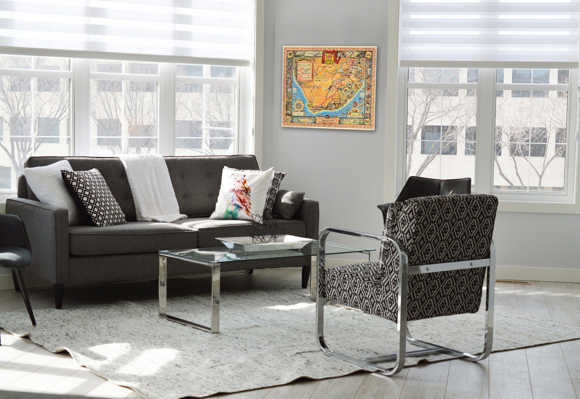
Room
Gallery
Historic Map : A pictorial map : South Africa, 1950 - Vintage Wall Art
Historic Map : A pictorial map : South Africa, 1950 - Vintage Wall Art
Note: Sold out or unavailable
Couldn't load pickup availability
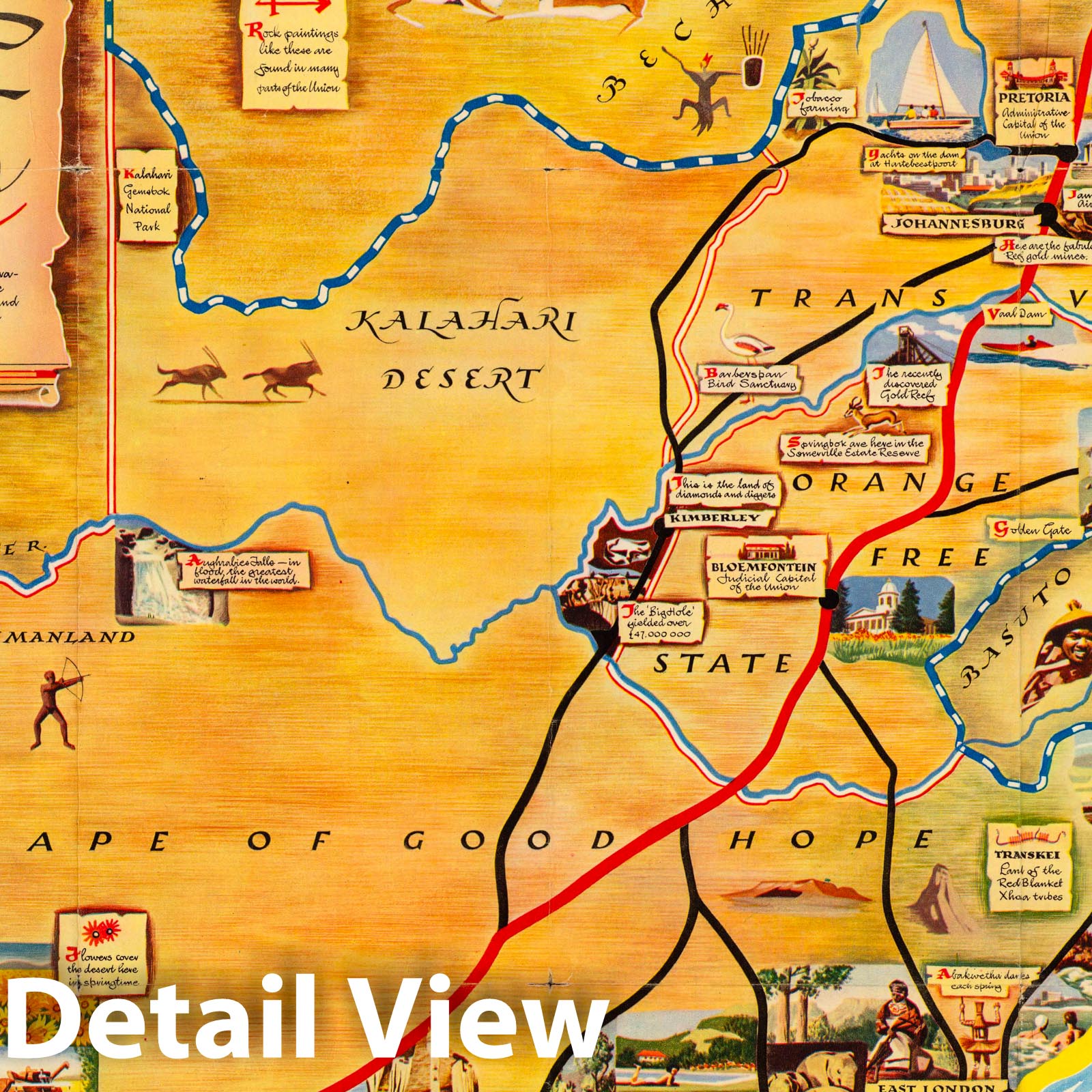
A pictorial map : South Africa. Designed and drawn in Pretoria, South Africa by Bernard Sargent. Printed by the South African Tourist Corporation. Printed in Holland by Rotogravure, Leiden. (Cover title) A Collection of Tourist Maps. South Africa. Cabo de Bona Speranca. (on verso maps) Destination to adventure. Communications with South Africa. Round tour of South Africa. Air and sea communications. Road communications, The Cape peninsula. Natal holiday Coastline. Kruger National Park. | A pictorial map : South Africa. Designed and drawn in Pretoria, South Africa by Bernard Sargent. Printed by the South African Tourist Corporation. Printed in Holland by Rotogravure, Leiden. (Cover title) A Collection of Tourist Maps. South Africa. Cabo de Bona Speranca. (on verso maps) Destination to adventure. Communications with South Africa. Round tour of South Africa. Air and sea communications. Road communications, The Cape peninsula. Natal holiday Coastline. Kruger National Park. | Pictorial map, on sheet 64.5x75, with decorative pictorial border of animals, birds and flowers and notations. "Showing the divers places and extraordinary manner of strange things to be seen by those who voyage to this land ..." Map shows international and provincial boundaries, roads, major rivers, parks, landmarks, wildlife, places of interest, etc. The coat of arms of the Union of South Africa is positioned in the upper center. Includes vignettes on historical events, text, legend and decorative compass rose. Relief shown pictorially. Folded into self wrapped pictorial cover. On verso: 8 maps showing lines of communications, tourist information, location map and text: "This collection of tourist map swill help you to plan your vacation in this fascinating land ..." ". Date estimated.
Some of these images may show signs of wear and tear - we believe that in many cases this contributes to the aesthetics of the item.
- MUSEUM QUALITY INKS AND PAPER: Printed on thick 192gsm heavyweight matte paper with archival giclee inks, this historic fine art will decorate your wall for years to come.
- VINTAGE MAP REPRODUCTION: Add style to any room's decor with this beautiful print. Whether your interior design is modern or classic, a map is never out of fashion.
- ATTENTION TO DETAIL: We edit every antique map for image quality, color and vibrance, so it can look its best while retaining historical character. Makes a great gift!
- FRAME READY: Your unframed poster will arrive crease-free, rolled in a sturdy mailing tube. Many maps fit easy-to-find standard size frames 16x20, 16x24, 18x24, 24x30, 24x36, saving on custom framing.
- Watermarks will not appear in the printed picture. Some blemishes, tears, or stamps may be removed from the final print.
Why choose Historic Pictoric
Every artwork we offer is carefully edited by our small but dedicated team of image professionals, ensuring each detail is perfect. We print every order to demand right here in the USA, treating every piece with the same care and attention we would give our own work. From editing to printing to packaging, we take pride in delivering artwork that meets our high standards—and we love knowing it’s heading to a home where it will be appreciated.
- Choosing a selection results in a full page refresh.
- Opens in a new window.