You have no items in your shopping cart.
- Home
- Maps
-
State Maps
- Alabama
- Alaska
- Arizona
- Arkansas
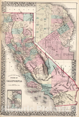
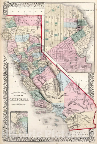
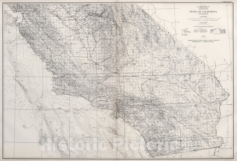
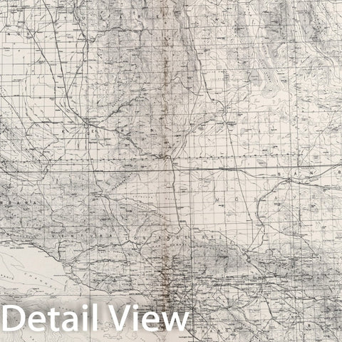
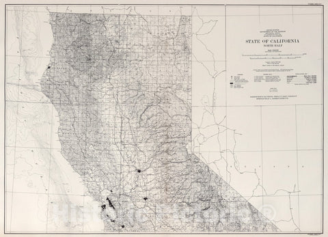
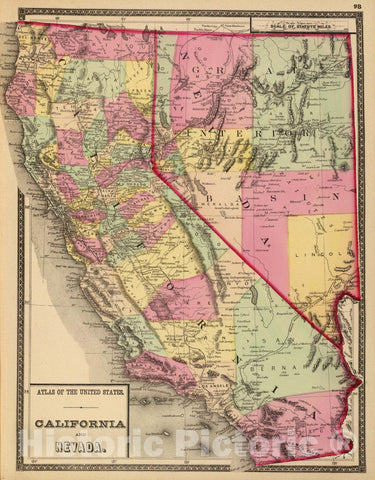
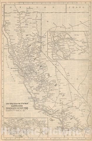
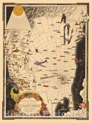
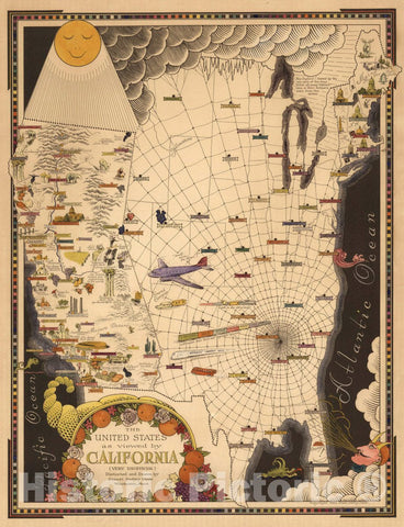
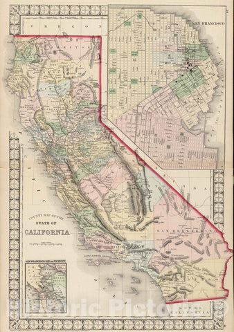
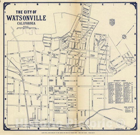
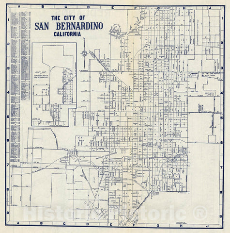
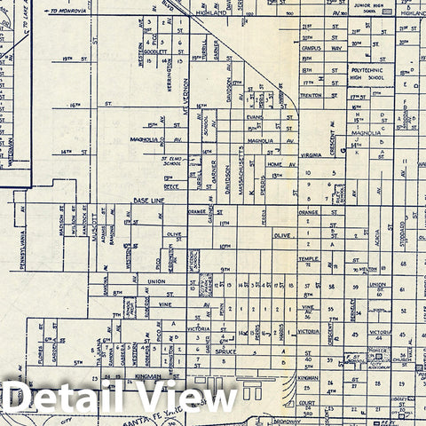
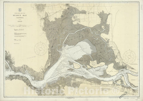
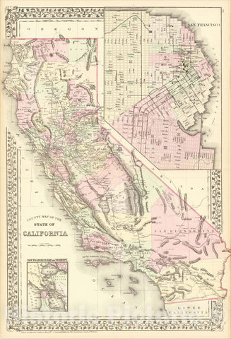
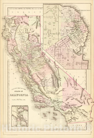
- California
- Colorado
- Connecticut
- Delaware
- Florida
- Georgia
- Hawaii
- Idaho
- Illinois
- Indiana
- Iowa
- Kansas
- Kentucky
- Louisiana
- Maine
- Maryland
- Massachusetts
- Michigan
- Minnesota
- Mississippi
- Missouri
- Nebraska
- Nevada
- New Hampshire
- New Jersey
- New Mexico
- New York
- North Carolina
- North Dakota
- Ohio
- Oklahoma
- Oregon
- Pennsylvania
- Rhode Island
- South Carolina
- South Dakota
- Tennessee
- Texas
- Utah
- Vermont
- Virginia
- Washington
- West Virginia
- Wisconsin
- Wyoming
- Art Prints
- Photographs
- Contact Us
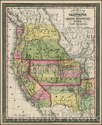
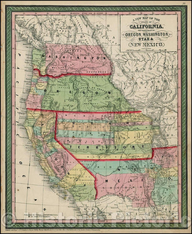
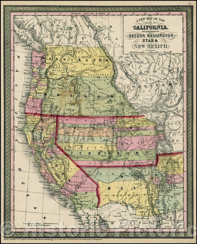
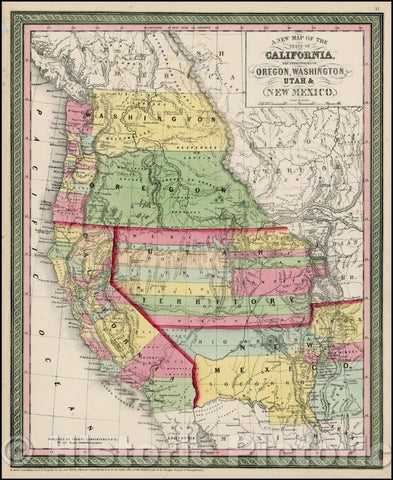
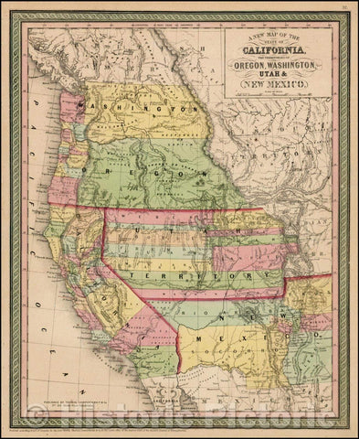
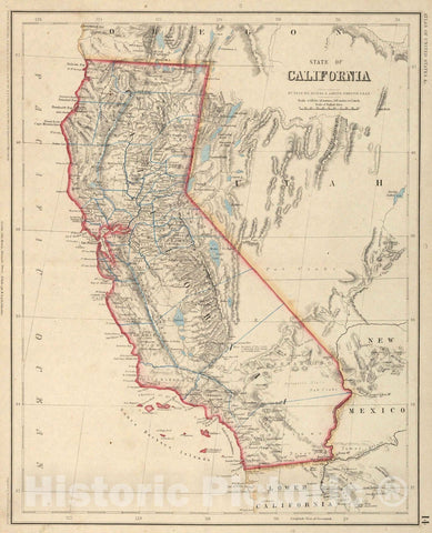
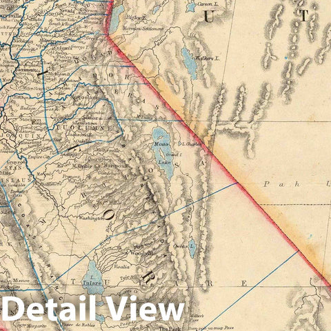
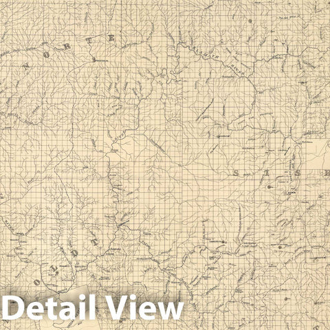
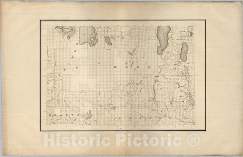
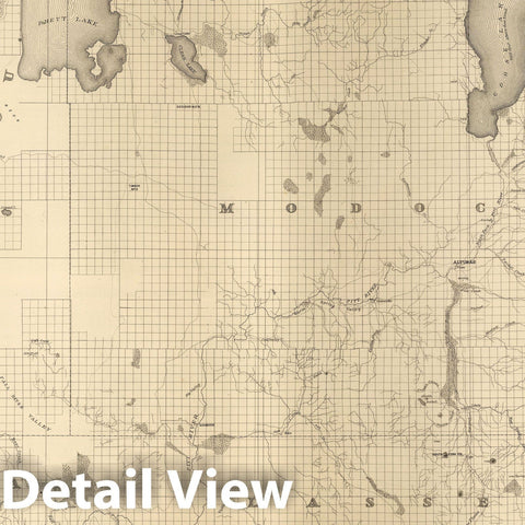
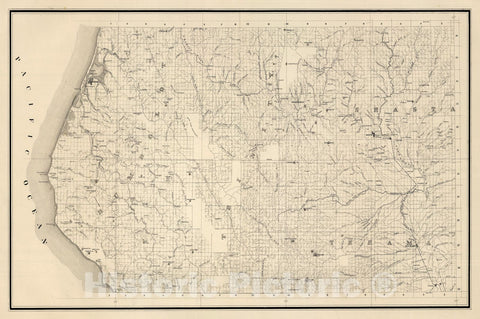
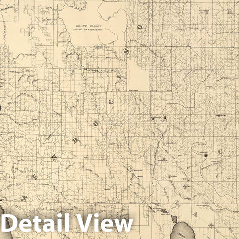
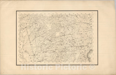
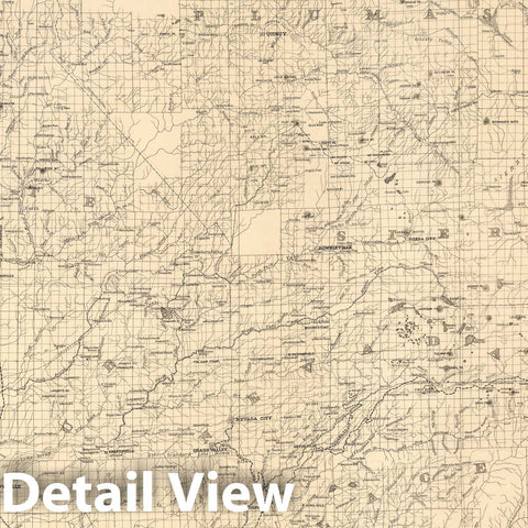
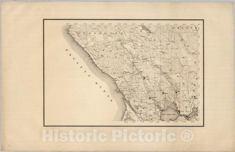
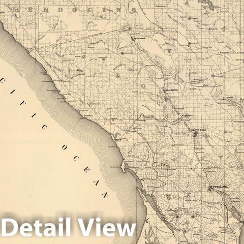
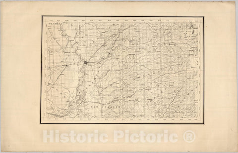
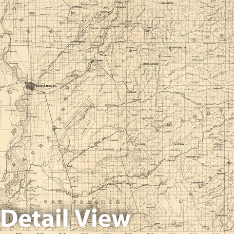
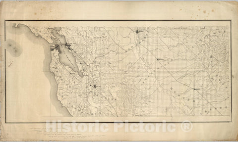
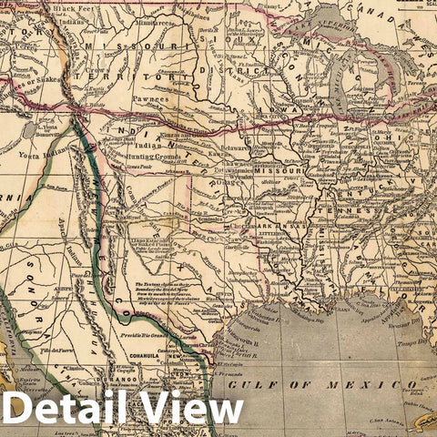
![Historic Map : [Pacific States] California, Nevada, Oregon, Washington, Idaho, Utah, Arizona and Part of Montana, 1873, T. Ellwood Zell, v1, Vintage Wall Art](http://www.historicpictoric.com/cdn/shop/products/5238392_1wmrk_large.jpg?v=1683396411)