You have no items in your shopping cart.
- Home
- Maps
-
State Maps
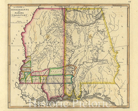
- Alabama
- Alaska
- Arizona
- Arkansas
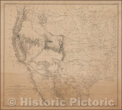
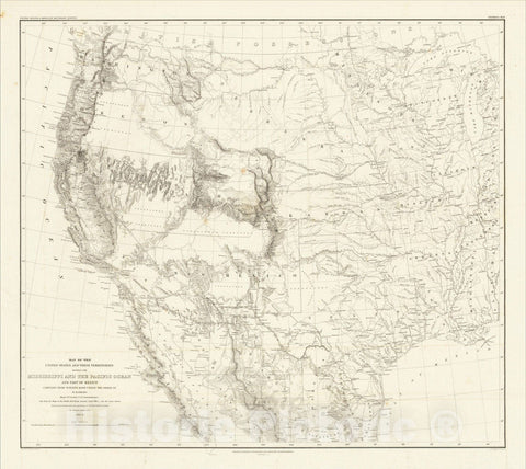
- California
- Colorado
- Connecticut
- Delaware
- Florida
- Georgia
- Hawaii
- Idaho
- Illinois
- Indiana
- Iowa
- Kansas
- Kentucky
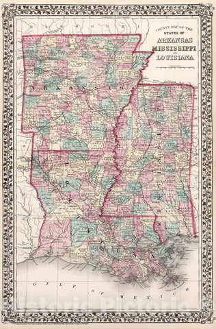
- Louisiana
- Maine
- Maryland
- Massachusetts
- Michigan
- Minnesota
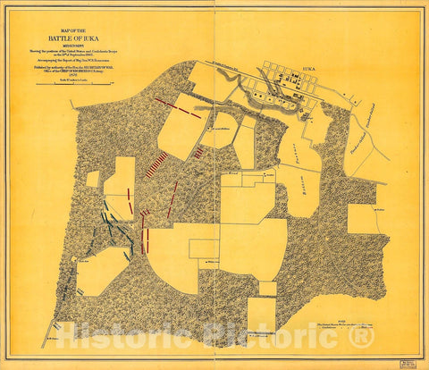
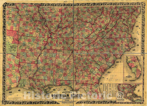
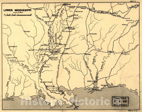
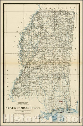
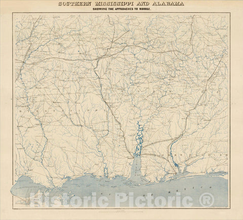
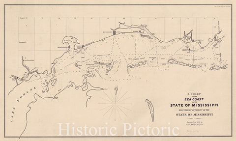
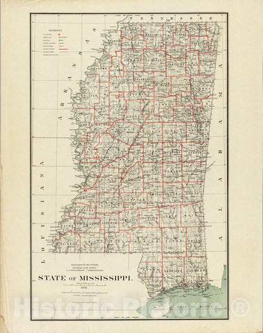
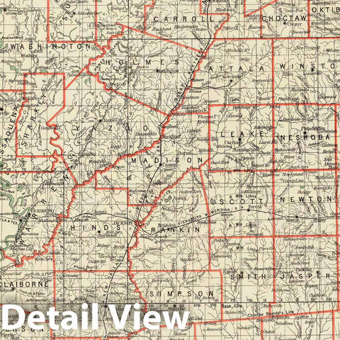
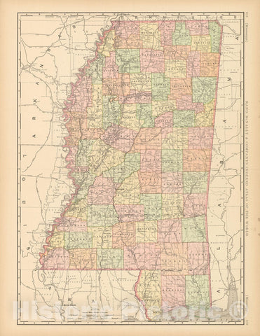
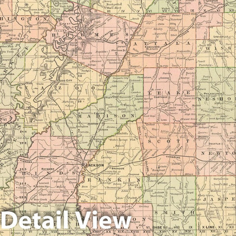
- Mississippi
- Missouri
- Nebraska
- Nevada
- New Hampshire
- New Jersey
- New Mexico
- New York
- North Carolina
- North Dakota
- Ohio
- Oklahoma
- Oregon
- Pennsylvania
- Rhode Island
- South Carolina
- South Dakota
- Tennessee
- Texas
- Utah
- Vermont
- Virginia
- Washington
- West Virginia
- Wisconsin
- Wyoming
- Art Prints
- Photographs
- Contact Us

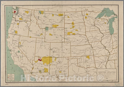
![Historic 1744 Map - Carte De La Louisiane Cours Du Mississipi [I.E. Mississippi] Et Pais Voisins - United States - Maps - Early Works To 1800 - Charts And Maps - Vintage Wall Art](http://www.historicpictoric.com/cdn/shop/products/5129434_1wmark_large.jpg?v=1683482678)