You have no items in your shopping cart.
- Home
- Maps
-
State Maps
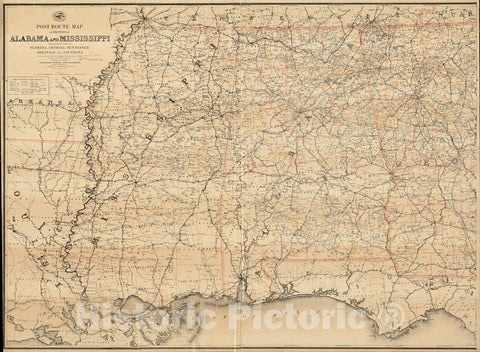
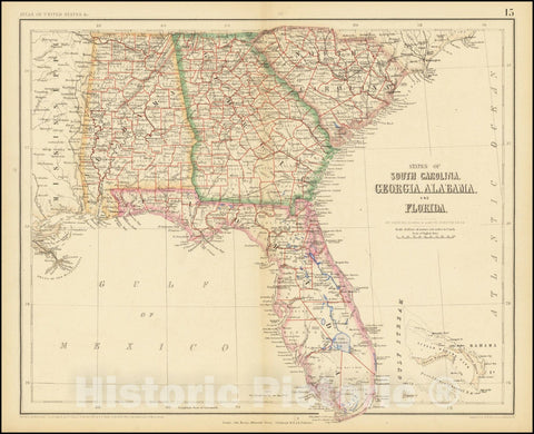
- Alabama
- Alaska
- Arizona
- Arkansas
- California
- Colorado
- Connecticut
- Delaware
- Florida
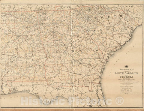
- Georgia
- Hawaii
- Idaho
- Illinois
- Indiana
- Iowa
- Kansas
- Kentucky
- Louisiana
- Maine
- Maryland
- Massachusetts
- Michigan
- Minnesota
- Mississippi
- Missouri
- Nebraska
- Nevada
- New Hampshire
- New Jersey
- New Mexico
- New York
- North Carolina
- North Dakota
- Ohio
- Oklahoma
- Oregon
- Pennsylvania
- Rhode Island
- South Carolina
- South Dakota
- Tennessee
- Texas
- Utah
- Vermont
- Virginia
- Washington
- West Virginia
- Wisconsin
- Wyoming
- Art Prints
- Photographs
- Contact Us


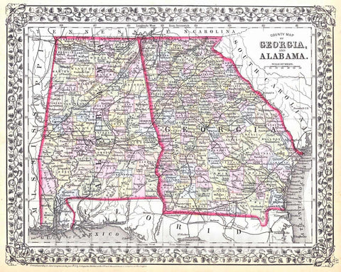


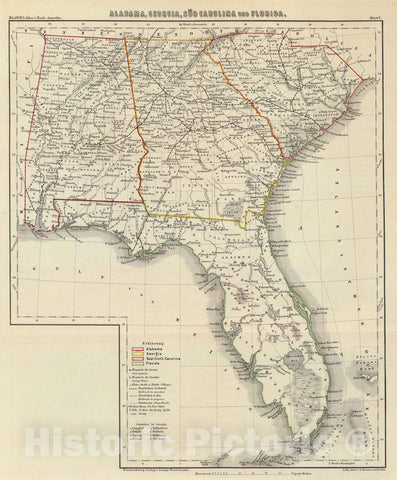
![Historic Map - Map of the States of Alabama and Georgia [Inset Plan of Savannah], 1832, Hinton, Simpkin & Marshall - Vintage Wall Art](http://www.historicpictoric.com/cdn/shop/products/5190786_1wmrk_large.jpg?v=1598003211)
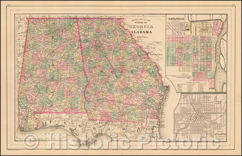
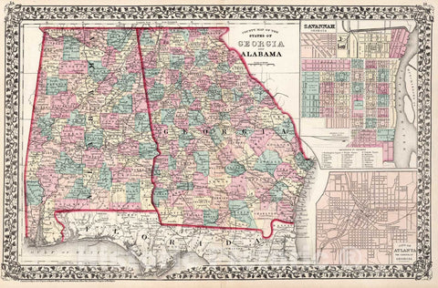
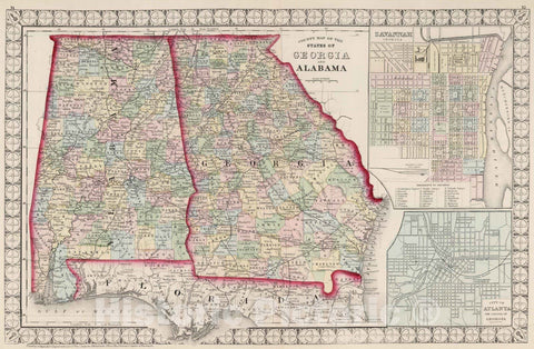
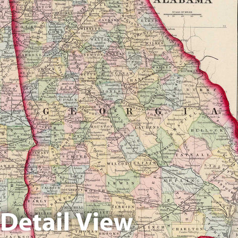
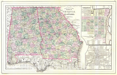
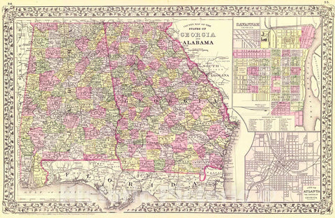
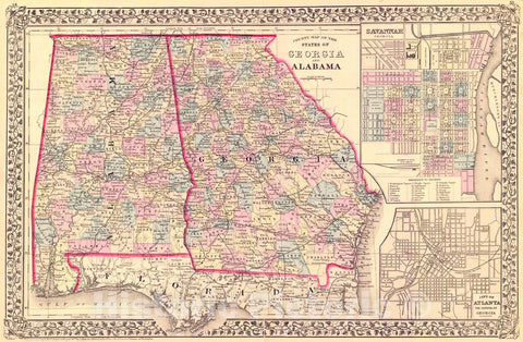
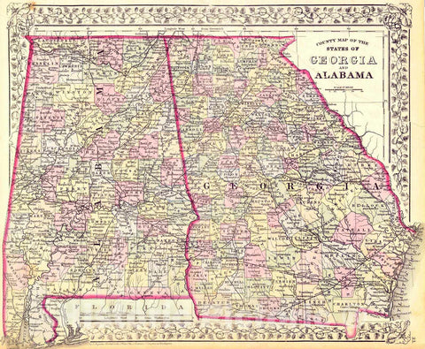
![Historic Map - County Map of the States of Georgia and Alabama [Insets of Atlanta and Savannah], 1880, Samuel Augustus Mitchell Jr. v2](http://www.historicpictoric.com/cdn/shop/products/5190457_1wmrk_large.jpg?v=1598002977)
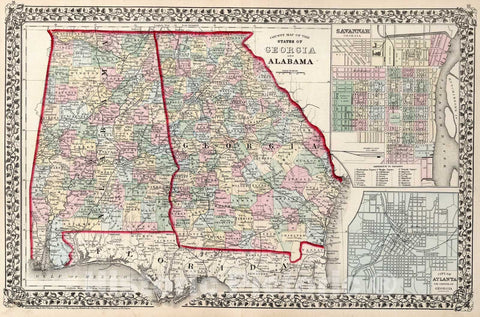
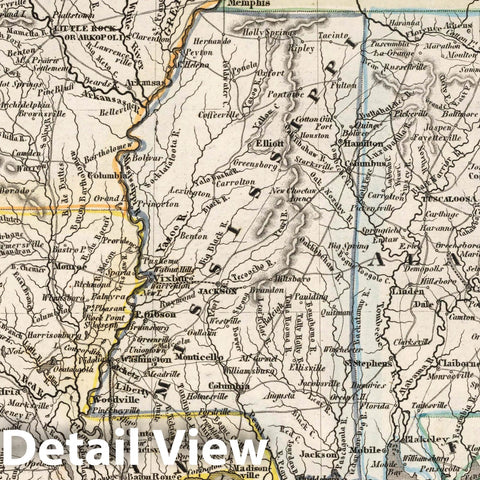
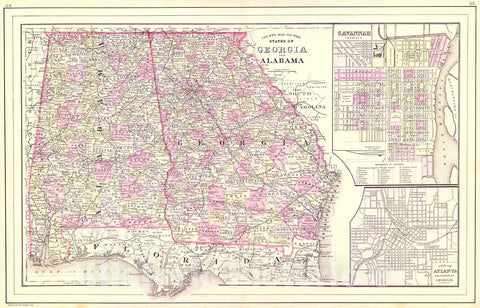
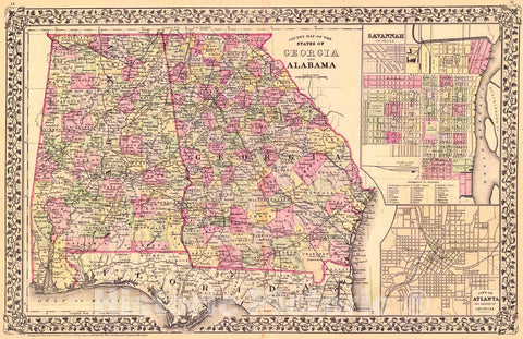
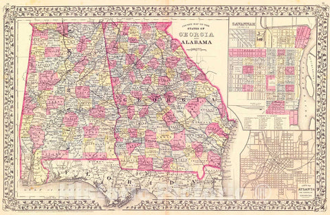
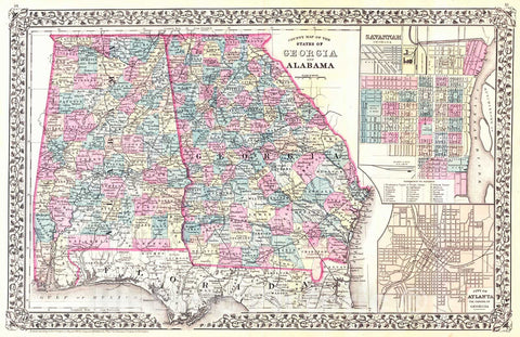
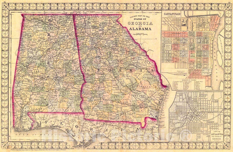
![Historic Map - County Map of the States of Georgia and Alabama [Insets of Atlanta and Savannah], 1880, Samuel Augustus Mitchell Jr. v1](http://www.historicpictoric.com/cdn/shop/products/5187711_1wmrk_large.jpg?v=1598000820)