
You have no items in your shopping cart.
- Home
- Maps
-
State Maps
- Alabama
- Alaska
- Arizona
- Arkansas
- California
- Colorado
- Connecticut
- Delaware
- Florida
- Georgia
- Hawaii
- Idaho
- Illinois
- Indiana
- Iowa
- Kansas
- Kentucky
- Louisiana
- Maine
- Maryland
- Massachusetts
- Michigan
- Minnesota
- Mississippi
- Missouri
- Nebraska
- Nevada
- New Hampshire
- New Jersey
- New Mexico
- New York
- North Carolina
- North Dakota
- Ohio
- Oklahoma
- Oregon
- Pennsylvania
- Rhode Island
- South Carolina
- South Dakota
- Tennessee
- Texas
- Utah
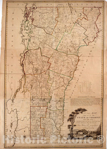
- Vermont
- Virginia
- Washington
- West Virginia
- Wisconsin
- Wyoming
- Art Prints
- Photographs
- Contact Us


![Historical Map, 1759 [A map of Lake Champlain and Lake George, Showing The Route from Fort Edward to Montreal], Vintage Wall Art](http://www.historicpictoric.com/cdn/shop/products/5131896_1wmark_large.jpg?v=1683493008)
![Historical Map, 1760 [Sketch map of The St Lawrence River from The Fort de la PreIsentation to Lake Ontario], Vintage Wall Art](http://www.historicpictoric.com/cdn/shop/products/5131629_1wmark_large.jpg?v=1683225239)


![Historical Map, 1764 [A coloured chart of the upper pof Lake Erie at Fort Erie and a detailed Plan of Fort Erie, together with three cross sectional drawings], Vintage Wall Art](http://www.historicpictoric.com/cdn/shop/products/5120736_1wmark_large.jpg?v=1683493061)

![Historical Map, 1756 [A map showing the northern part of Lake George and Fort Ticonderoga], Vintage Wall Art](http://www.historicpictoric.com/cdn/shop/products/5120702_1wmark_large.jpg?v=1683493050)

![Historical Map, 1756 [A map of Lake George from Fort William Henry to Ticonderoga], Vintage Wall Art](http://www.historicpictoric.com/cdn/shop/products/5120700_1wmark_large.jpg?v=1683225309)


![Historical Map, 1760-1763 [Map showing military locations from Fort Cumberland on the River Potomac to Fort Presqu'Isle on Lake Erie], Vintage Wall Art](http://www.historicpictoric.com/cdn/shop/products/5120670_1wmark_large.jpg?v=1683493059)


![Historical Map, 1900 [Lake Pleasant, Massachusetts], Vintage Wall Art](http://www.historicpictoric.com/cdn/shop/products/5119835_1wmark_large.jpg?v=1683180610)


![Historical Map, 1766 [Map Showing Jonathan Carver's Travels west of The Great Lakes.], Vintage Wall Art](http://www.historicpictoric.com/cdn/shop/products/5119085_1wmark_large.jpg?v=1683180621)


