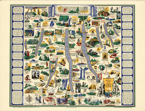
An extremely attractive example of Rigobert Bonne's c. 1775 map of the Great Lakes and upper Mississippi Valley. A map of considerable importance, this map was constructed during a period of aggressive exploration into this region. The French and English in North America, jealous of Spain's access to the Pacific via Mexico and Central America, were actively seeking their own westward passage'. By this time notions of a Northwest Passage through the Arctic were largely dismissed. Instead merchants and explorers turned their eyes inland towards the great system of Lakes and Rivers that filled the North American interior. With no concept that the vast barrier of the Rocky Mountains stood in their way - the idea that a river route to the Pacific was not only reasonable, but a likely possibility. One of the more likely courses for this route is shown here - one can pass through the Great Lakes and, roughly following the current US-Canada border, pass upriver to Rainey Lake (L. Tecamamiouen)and then, through another River, to the Lake of the Woods (Lac des Bois), then, via another river, to (though it does not appear on this map) Lake Winnipeg. Here the water route westward ends - though at the time they didn't know it. Throughout this map, Bonne attempt to document rivers, mountains, forts, and American Indian tribes and villages with the most recent data obtainable. He identifies the lands of the Sioux, the Iroquois (Five Nations), the Algonquians, the Illinois, and many others. Chicago (Chicagou) and Detroit both appear as forts. The Great Lakes are mapped with a rough approximation of accuracy, though Lake Superior does include a number of apocryphal islands including I. Ponchartrain and I. Minong (also known as Phillipeaux). These islands first appeared Bellin's mapping of the region in 1750s and continued to appear until the 1820s. Drawn by R. Bonne and published in the 1780 edition of Atlas de Toutes les Parties Connues du Globe Terrestre ...


