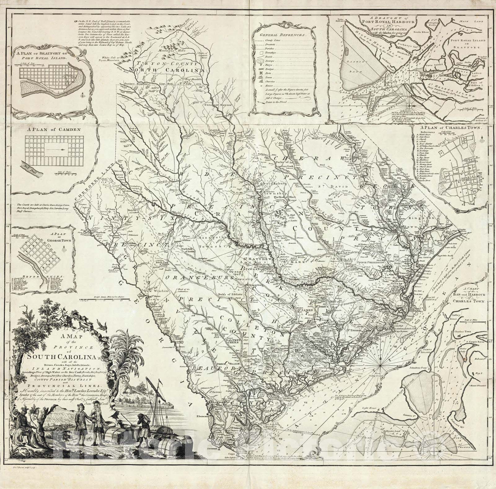
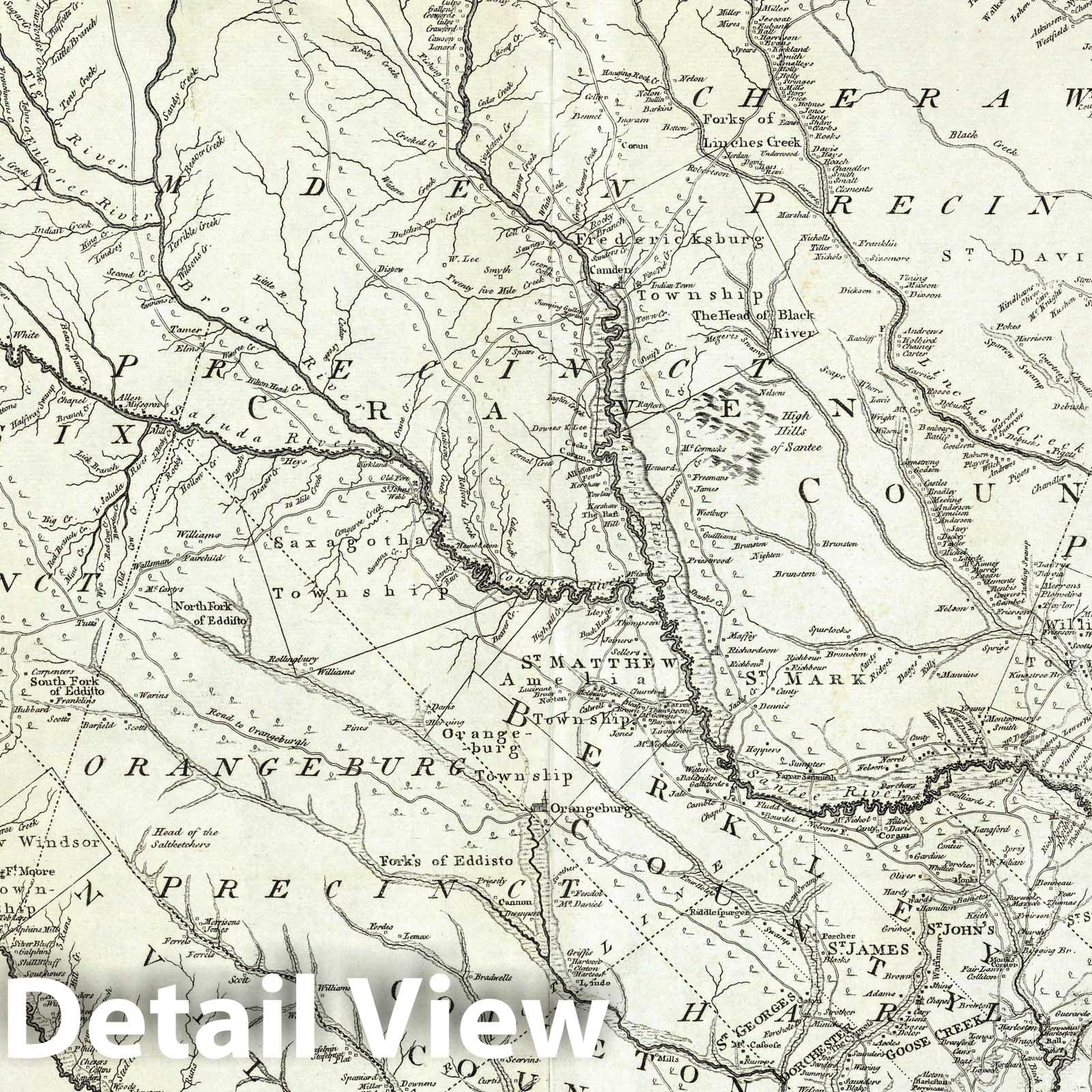
A Map of the Province of South Carolina with all the Rivers, Creeks, Bays, Inletts, Islands, Inland Navigation, Soundings, Time of High Water on the Sea Coast, Roads, Marshes, Ferrys, Bridges, Swamps, Parishes Churches, Towns, Townships; Country Parish District and Provincial Lines. Humbly inscribed to the Hon.ble Lawlins Lownds Esqr. Speaker & the rest of the Members of the Hon.ble the Commons House of Assembly of the Province by their most Obedt. & faithfull Servt Jams Cook. Thos. Bowen, sculpt. 1773. (with 6 inset maps). | A Map of the Province of South Carolina with all the Rivers, Creeks, Bays, Inletts, Islands, Inland Navigation, Soundings, Time of High Water on the Sea Coast, Roads, Marshes, Ferrys, Bridges, Swamps, Parishes Churches, Towns, Townships; Country Parish District and Provincial Lines. Humbly inscribed to the Hon.ble Lawlins Lownds Esqr. Speaker & the rest of the Members of the Hon.ble the Commons House of Assembly of the Province by their most Obedt. & faithfull Servt Jams Cook. Thos. Bowen, sculpt. 1773. (with 6 inset maps). |
We print high quality reproductions of historical maps, photographs, prints, etc. Because of their historical nature, some of these images may show signs of wear and tear - small rips, stains, creases, etc. We believe that in many cases this contributes to the historical character of the item.


